

Village San Pedro Yeloixtlahuaca, Puebla Mixteca Poblana
Mixteca municipal seat in the Acatlán valley next to Oaxaca, with a 16th-century church of Saint Peter; its name refers to a plain of tobacco.
From Huajuapan de León: 1 h 15 min by car (68 km by road) How to get there ↓
Near here
See everything nearby ↓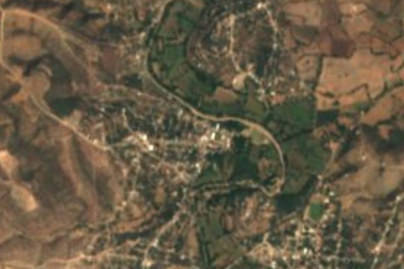

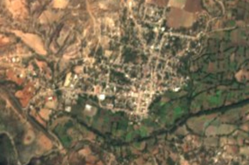
Plan your visit to San Pedro Yeloixtlahuaca
Where to stay near San Pedro Yeloixtlahuaca
Compare hotels, posadas and guest houses in San Pedro Yeloixtlahuaca.
Tours to San Pedro Yeloixtlahuaca
Day trips and guided outings from Teposcolula often include San Pedro Yeloixtlahuaca; with a local guide you can get there without a car.
 Tours from Atlixco
Atlixco Volcano Views Popocatépetl Tour Forest Route
From US$108
How to get to San Pedro Yeloixtlahuaca
- From Huajuapan de León: about 1 h 15 min by road (~68 km)
- Nearest airport: Oaxaca (OAX), 1 h 45 min by car to Teposcolula
Links open a partner site. We may earn a commission if you book, at no cost to you.
Tours from Atlixco, near San Pedro Yeloixtlahuaca
Tours, prices and ratings from Viator, checked weekly. We may earn a commission if you book.
About San Pedro Yeloixtlahuaca
Yeloixtlahuaca reads as "plain full of tobacco": yetl is tobacco and ixtlahuatl a plain, though some argue yetl could also mean beans. The village, with 890 people in 2020, lies at about 1,110 m in Puebla's Mixteca Baja and is the seat of a municipality of about 165 km² that borders Oaxaca to the south. Its origins are pre-Hispanic, in Popoloca and Nahua settlements.
Its administrative history is tangled. In 1880 the Puebla constitution already listed San Pedro Yeloixtlahuaca with the villages of Guadalupe and two ranches; in 1922 Guadalupe split off as its own municipality, and for decades San Pedro depended on Acatlán de Osorio, until on 2 February 1984 it became the state's 141st municipality. The parish church of San Pedro Apóstol dates from the 16th century; it became a parish around 1890, and its archive holds papers from 1867 on.
The land falls from south to north between hills such as El Chivato, La Magueyera, El Coralillo, Matlatepeque and Cerro Verde, between 1,000 and 1,800 m. In the north the Petlalcingo River runs for more than 12 km, in one stretch forming the boundary with Acatlán. People here work reed and palm, eat boiled tepenquixtles and mango and guava preserves, and the village has its own brass band.
How to get to San Pedro Yeloixtlahuaca
Drive from Huajuapan de León: 1 h 15 min, 68 km
San Pedro Yeloixtlahuaca lies in the south of Puebla's Mixteca, about 162 km from Puebla city by road. The way in is through Acatlán de Osorio, the regional town to the north, then local roads toward the Oaxaca line.
Directions to San Pedro Yeloixtlahuaca on Google Maps
Distances are in a straight line; the road is usually longer.
Links open a partner site. We may earn a commission if you book, at no cost to you.
From the nearest cities to San Pedro Yeloixtlahuaca
- Huajuapan de León · 68 km by road, 1 h 15 min
- Tehuacán · about 105 km by road, ~1 h 35 min
- Atlixco · 125 km by road, 2 h
Drive times by road from OpenStreetMap, without traffic or stops. Times marked ~ are estimated from the straight-line distance.
Visiting San Pedro Yeloixtlahuaca: what to see and do
The 16th-century parish church of San Pedro Apóstol.
The Petlalcingo River in the north of the municipality.
The live Stations of the Cross at the Calvario during Holy Week.
Plan your trip
Places to stay in San Pedro Yeloixtlahuaca
Compare hotels, posadas, and rentals in and around San Pedro Yeloixtlahuaca.
Tours & activities
Day trips and guided outings from Teposcolula often include San Pedro Yeloixtlahuaca; with a local guide you can get there without a car.
Rental cars
Pick up a car at OAX (Oaxaca): about 1 h 45 min by road to Teposcolula, then 91 km more to San Pedro Yeloixtlahuaca, on your own schedule.
Flights
The nearest airport with scheduled flights is Oaxaca (OAX), about 1 h 45 min by road from Teposcolula, the base for San Pedro Yeloixtlahuaca.
Mobile data
Signal can drop away from Teposcolula: download a map of the way to San Pedro Yeloixtlahuaca before you set out, or carry an eSIM with data.
Links open a partner site. We may earn a commission if you book, at no cost to you.
When to go to San Pedro Yeloixtlahuaca cool
San Pedro Yeloixtlahuaca shares the climate of Teposcolula, 91 km away. The best months to visit are January, February, March, and December.
See the month-by-month climate of Teposcolula
Weather in San Pedro Yeloixtlahuaca now and the next 7 days
Live forecast from Open-Meteo. Chance of rain is the day's highest.
The closest Pueblo Mágico: Teposcolula

Teposcolula is the Pueblo Mágico closest to San Pedro Yeloixtlahuaca, with places to stay, food, and more to see.
Closest to San Pedro Yeloixtlahuaca
-
San Pablo Anicano · Village · 1 km away
-
Amatitlán de Azueta · Village · 7 km away
-
Acatlán de Osorio · Town · 10 km away
-
San Bernardo · Village · 11 km away
-
Texcalapa de Juárez · Village · 11 km away
-
Petlalcingo · Village · 17 km away
-
Xayacatlán de Bravo · Village · 17 km away
-
San Vicente Boquerón · Village · 18 km away

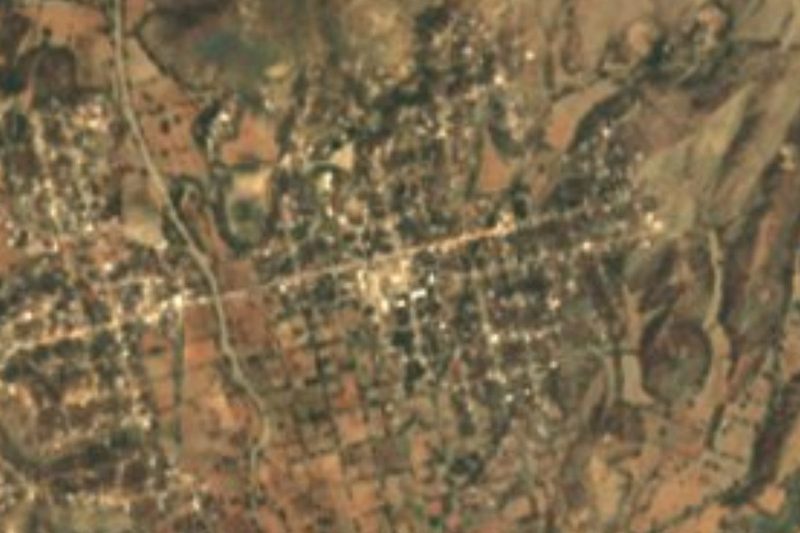
Near San Pedro Yeloixtlahuaca

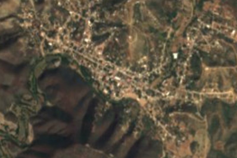


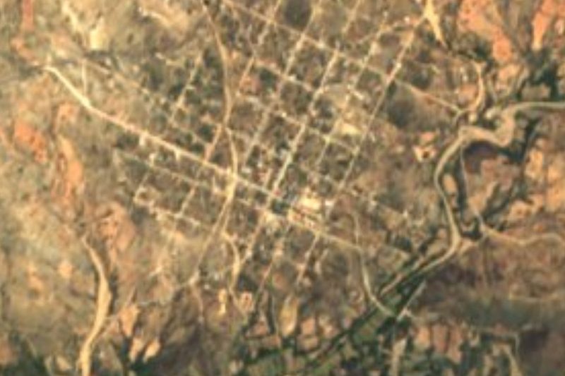


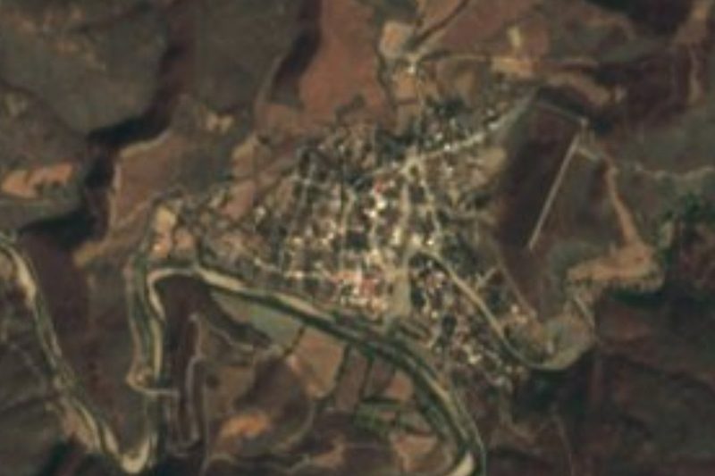
Drive times by road from OpenStreetMap, without traffic. Times marked ~ are estimated from the straight-line distance.
Location from OpenStreetMap. Written by Puebloteca.