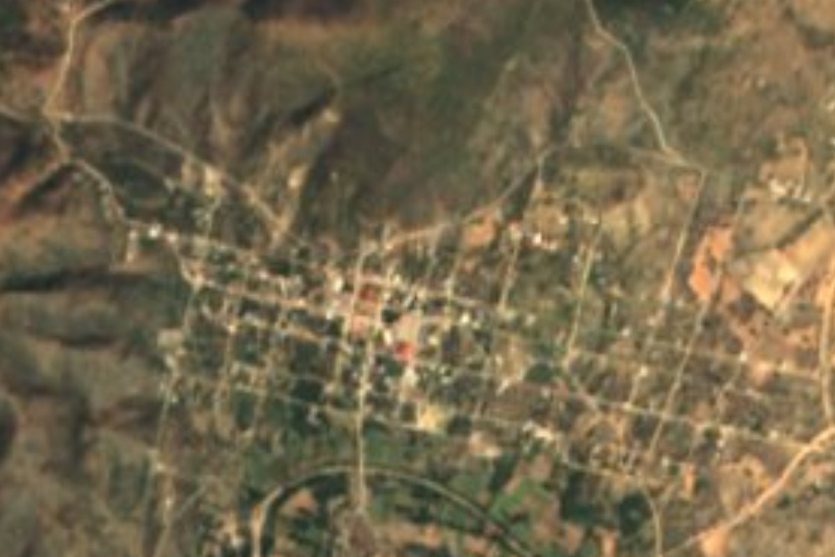
Village San Jerónimo Xayacatlán, Puebla Mixteca Poblana
Mixtec village on the Puebla–Oaxaca border in the Acatlán valley, whose Nahuatl name may mean "place of masks".
From Huajuapan de León: 1 h 15 min by car (64 km by road) How to get there ↓
Near here
See everything nearby ↓


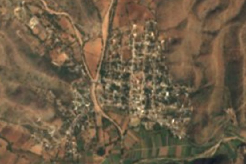
Plan your visit to San Jerónimo Xayacatlán
Where to stay near San Jerónimo Xayacatlán
Compare hotels, posadas and guest houses in San Jerónimo Xayacatlán.
Tours to San Jerónimo Xayacatlán
Day trips and guided outings from Teposcolula often include San Jerónimo Xayacatlán; with a local guide you can get there without a car.
 Tours from Atlixco
Atlixco Volcano Views Popocatépetl Tour Forest Route
From US$108
How to get to San Jerónimo Xayacatlán
- From Huajuapan de León: about 1 h 15 min by road (~64 km)
- Nearest airport: Oaxaca (OAX), 1 h 45 min by car to Teposcolula
Links open a partner site. We may earn a commission if you book, at no cost to you.
Tours from Atlixco, near San Jerónimo Xayacatlán
Tours, prices and ratings from Viator, checked weekly. We may earn a commission if you book.
About San Jerónimo Xayacatlán
Though its name is Nahuatl, San Jerónimo Xayacatlán is a Mixtec village: most of its people speak the Mixtec of the Puebla–Oaxaca border, the same variety heard in Xayacatlán de Bravo. The name has two readings: it may come from xayácatl, mask, "place of masks", or from xalli, sand, and yácatl, point, "sand point". The village had 1,229 people in 2020 and sits at about 1,290 m.
The land belonged to the old district of Acatlán; according to the municipal history it was the estate of the landowner Juana Aja, which was sold, and in 1895 the place became a free municipality. Since the 1960s it has been a municipality of emigrants, who leave mainly for Mexico City, Puebla and, more recently, New York.
The municipality, about 230 km², borders Tepexi de Rodríguez, Coyotepec, Acatlán, Xayacatlán de Bravo, Petlalcingo, Totoltepec de Guerrero and the Oaxaca municipalities of Santiago Chazumba and Cosoltepec. Its north belongs to the Sierra de Acatlán, with the 1,950 m Cerro Negro volcano and deposits of barite, lead and silver; its southern half is the Acatlán valley, a narrow strip along the river of the same name, which rises in summer and autumn with the rains.
How to get to San Jerónimo Xayacatlán
Drive from Huajuapan de León: 1 h 15 min, 64 km
San Jerónimo Xayacatlán lies in the Mixteca, east of Acatlán de Osorio and next to the Oaxaca line. Tehuacán is about 61 km away as the crow flies and Puebla city about 96 km. Access is by car through the Acatlán area.
Directions to San Jerónimo Xayacatlán on Google Maps
Distances are in a straight line; the road is usually longer.
Links open a partner site. We may earn a commission if you book, at no cost to you.
From the nearest cities to San Jerónimo Xayacatlán
- Huajuapan de León · 64 km by road, 1 h 15 min
- Tehuacán · 98 km by road, 1 h 45 min
- Puebla · about 125 km by road, ~1 h 50 min
Drive times by road from OpenStreetMap, without traffic or stops. Times marked ~ are estimated from the straight-line distance.
Visiting San Jerónimo Xayacatlán: what to see and do
The 1,950 m Cerro Negro volcano in the Sierra de Acatlán.
The Acatlán valley and river.
Pair it with Acatlán de Osorio and Petlalcingo.
Plan your trip
Places to stay in San Jerónimo Xayacatlán
Compare hotels, posadas, and rentals in and around San Jerónimo Xayacatlán.
Tours & activities
Day trips and guided outings from Teposcolula often include San Jerónimo Xayacatlán; with a local guide you can get there without a car.
Rental cars
Pick up a car at OAX (Oaxaca): about 1 h 45 min by road to Teposcolula, then 91 km more to San Jerónimo Xayacatlán, on your own schedule.
Flights
The nearest airport with scheduled flights is Oaxaca (OAX), about 1 h 45 min by road from Teposcolula, the base for San Jerónimo Xayacatlán.
Mobile data
Signal can drop away from Teposcolula: download a map of the way to San Jerónimo Xayacatlán before you set out, or carry an eSIM with data.
Links open a partner site. We may earn a commission if you book, at no cost to you.
When to go to San Jerónimo Xayacatlán cool
San Jerónimo Xayacatlán shares the climate of Teposcolula, 91 km away. The best months to visit are January, February, March, and December.
See the month-by-month climate of Teposcolula
Weather in San Jerónimo Xayacatlán now and the next 7 days
Live forecast from Open-Meteo. Chance of rain is the day's highest.
The closest Pueblo Mágico: Teposcolula

Teposcolula is the Pueblo Mágico closest to San Jerónimo Xayacatlán, with places to stay, food, and more to see.
Closest to San Jerónimo Xayacatlán
-
Totoltepec de Guerrero · Village · 6 km away
-
Xayacatlán de Bravo · Village · 7 km away
-
Acatlán de Osorio · Town · 14 km away
-
Petlalcingo · Village · 16 km away
-
San Vicente Boquerón · Village · 16 km away
-
Amatitlán de Azueta · Village · 18 km away
-
Texcalapa de Juárez · Village · 19 km away
-
San Bernardo · Village · 20 km away
Near San Jerónimo Xayacatlán
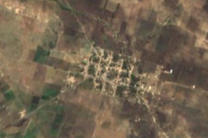

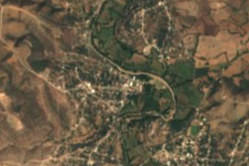
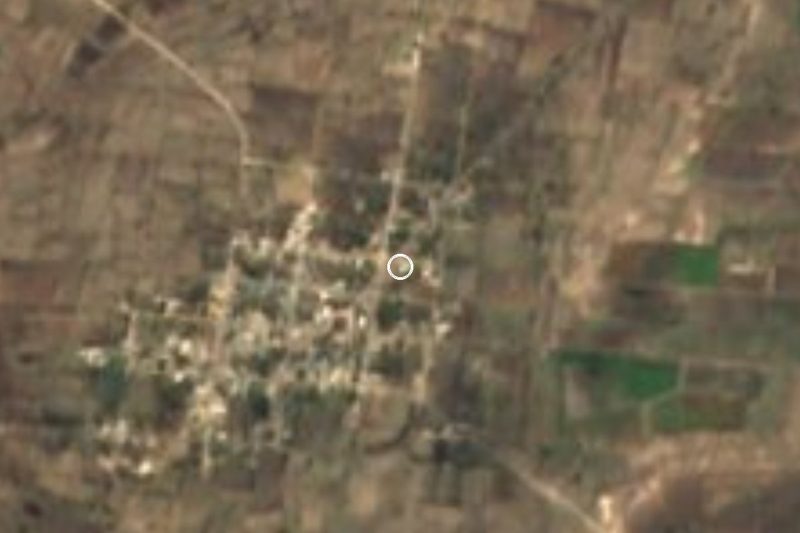
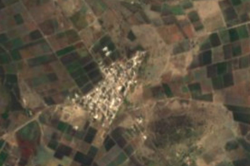


Drive times by road from OpenStreetMap, without traffic. Times marked ~ are estimated from the straight-line distance.
Location from OpenStreetMap. Written by Puebloteca.