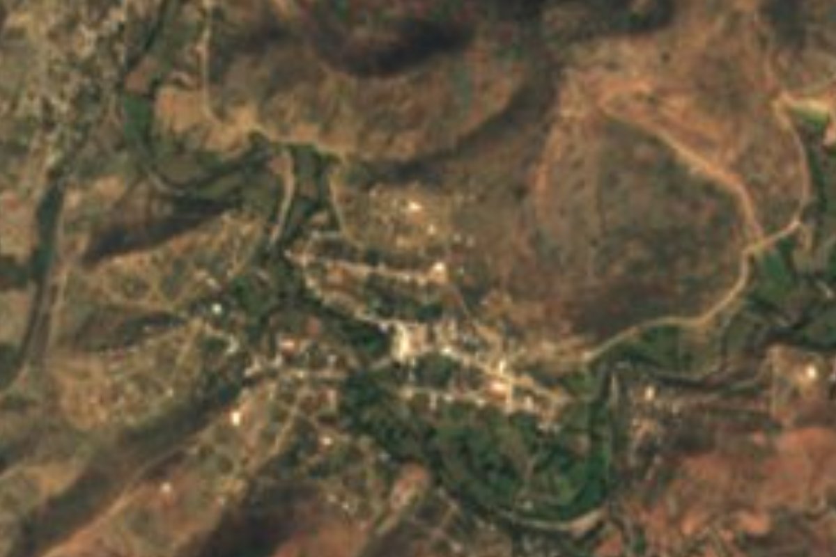
Village Petlalcingo, Puebla Municipality of Petlalcingo Mixteca Poblana
"On the crag" village of Petlalcingo, in the Puebla Mixteca by Oaxaca, a warm land of apache palm, woven mats and goat barbacoa.
From Huajuapan de León: 55 min by car (50 km by road) How to get there ↓
Near here
See everything nearby ↓

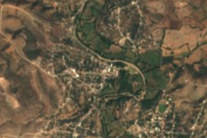

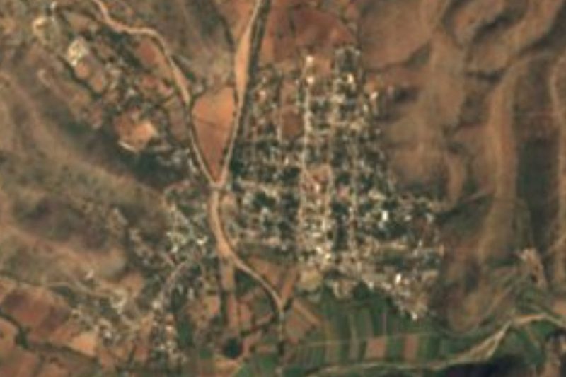

Plan your visit to Texcalapa de Juárez
Where to stay near Texcalapa de Juárez
Compare hotels, posadas and guest houses in Texcalapa de Juárez.
Tours to Texcalapa de Juárez
Day trips and guided outings from Teposcolula often include Texcalapa de Juárez; with a local guide you can get there without a car.
How to get to Texcalapa de Juárez
- From Huajuapan de León: about 55 min by road (~50 km)
- Nearest airport: Oaxaca (OAX), 1 h 45 min by car to Teposcolula
Links open a partner site. We may earn a commission if you book, at no cost to you.
About Texcalapa de Juárez
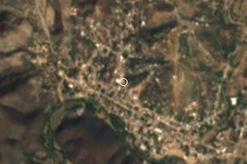
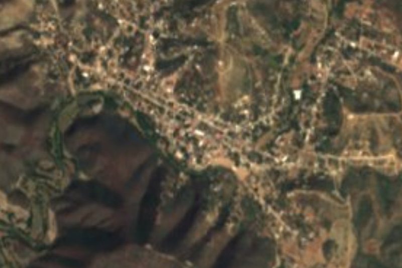
Texcalapa takes its name from the Nahuatl texcalla, crag or cliff, and pan, on top: "on the crag". The "de Juárez" honours Benito Juárez. It is a village in the municipality of Petlalcingo, in Puebla's southern corner where the state meets Oaxaca; at about 1,245 m, it had 1,640 residents in 2020. Tehuacán is about 77 km away in a straight line, and Teposcolula, in the Oaxacan Mixteca, about 81 km.
Petlalcingo belongs to the Puebla Mixteca and covers some 234 km² between 1,200 and 2,000 m. To the north lies part of the small alluvial valley of Acatlán, shared with Acatlán de Osorio and the two Xayacatláns, while the rest is taken up by the hills of the Sierra Mixteca, such as Calahuate, Xicúi and Santa Rosa. The Petlalcingo River flows down to the Acatlán, which in turn is part of the Atoyac–Balsas basin; streams such as the Camotlán, El Pescado, Piedra Azul and Tlacoacingo only run in the rainy season. It borders Chila to the south and Oaxacan municipalities such as Huajuapan de León and Tequixtepec to the east and southwest.
It is hot, fairly dry country: 21 to 23 °C on average and 700 to 900 mm of rain a year, with low tropical forest over more than a third of the land, plus grassland and scrub; less than a third is farmed. Its most typical craft is weaving apache palm (Brahea dulcis) into sleeping mats, hats, bags, small cases, baskets, chiquihuites and tablecloths; ixtle fibre and timber are also worked. The kitchen offers goat barbacoa, mint mole, bean and tlanipa tamales and pipián, with pumpkin-seed jamoncillos, frothy chocolate, granillo atole and aguardiente. In the municipal seat the church of Santiago Apóstol stands out with its broad atrium, and the municipality has two brass bands.
How to get to Texcalapa de Juárez
Drive from Huajuapan de León: 55 min, 50 km
Texcalapa lies about 111 km in a straight line from Puebla city, in the municipality of Petlalcingo, whose seat sits on federal highway 190 between Acatlán de Osorio and Huajuapan de León. From there local roads continue to the village; Tehuacán is about 77 km away.
Directions to Texcalapa de Juárez on Google Maps
Distances are in a straight line; the road is usually longer.
Links open a partner site. We may earn a commission if you book, at no cost to you.
From the nearest cities to Texcalapa de Juárez
- Huajuapan de León · 50 km by road, 55 min
- Puebla · about 145 km by road, ~2 h 10 min
- Tehuacán · 124 km by road, 2 h 20 min
Drive times by road from OpenStreetMap, without traffic or stops. Times marked ~ are estimated from the straight-line distance.
Visiting Texcalapa de Juárez: what to see and do
The village of Texcalapa and the Sierra Mixteca hills around it.
The Petlalcingo River and the streams that run in the rainy season.
Apache palm weaving: mats, hats and baskets.
The church of Santiago Apóstol in Petlalcingo.
Plan your trip
Places to stay in Texcalapa de Juárez
Compare hotels, posadas, and rentals in and around Texcalapa de Juárez.
Tours & activities
Day trips and guided outings from Teposcolula often include Texcalapa de Juárez; with a local guide you can get there without a car.
Rental cars
Pick up a car at OAX (Oaxaca): about 1 h 45 min by road to Teposcolula, then 81 km more to Texcalapa de Juárez, on your own schedule.
Flights
The nearest airport with scheduled flights is Oaxaca (OAX), about 1 h 45 min by road from Teposcolula, the base for Texcalapa de Juárez.
Mobile data
Signal can drop away from Teposcolula: download a map of the way to Texcalapa de Juárez before you set out, or carry an eSIM with data.
Links open a partner site. We may earn a commission if you book, at no cost to you.
When to go to Texcalapa de Juárez cool
Texcalapa de Juárez shares the climate of Teposcolula, 81 km away. The best months to visit are January, February, March, and December.
See the month-by-month climate of Teposcolula
Weather in Texcalapa de Juárez now and the next 7 days
Live forecast from Open-Meteo. Chance of rain is the day's highest.
The closest Pueblo Mágico: Teposcolula

Teposcolula is the Pueblo Mágico closest to Texcalapa de Juárez, with places to stay, food, and more to see.
Closest to Texcalapa de Juárez
-
Petlalcingo · Village · 8 km away
-
San Pedro Yeloixtlahuaca · Village · 11 km away
-
San Pablo Anicano · Village · 12 km away
-
San José Ayuquila · Town · 14 km away
-
Amatitlán de Azueta · Village · 15 km away
-
El Rosario Micaltepec · Village · 15 km away
-
Acatlán de Osorio · Town · 16 km away
-
Chila · Village · 17 km away


Near Texcalapa de Juárez




Drive times by road from OpenStreetMap, without traffic. Times marked ~ are estimated from the straight-line distance.
Location from OpenStreetMap. Written by Puebloteca.