Town Tehuitzingo, Puebla Mixteca Poblana
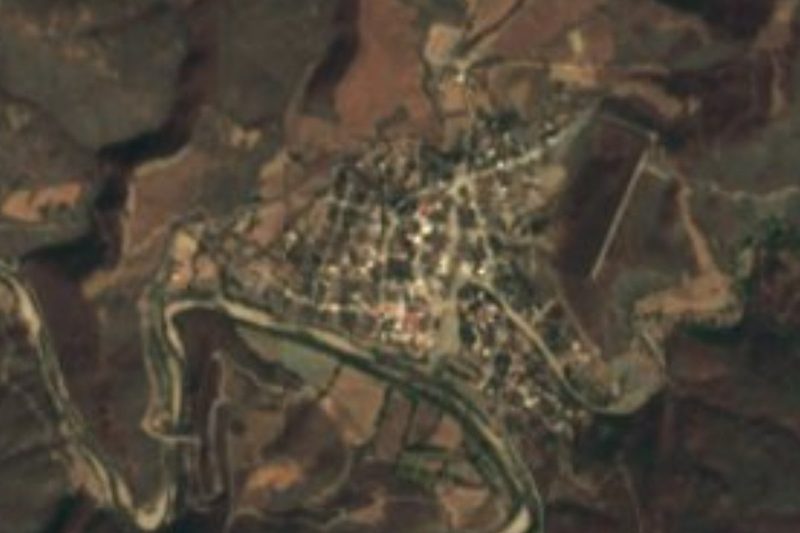
Seat of one of Puebla's largest municipalities, in the Mixteca Baja, crossed by the Atoyac River, with a dam irrigating watermelon and papaya.
From Atlixco: 1 h 15 min by car (81 km by road) How to get there ↓
Near here
See everything nearby ↓
Plan your visit to Tehuitzingo
Where to stay near Tehuitzingo
Compare hotels, posadas and guest houses in Tehuitzingo.
Tours to Tehuitzingo
Day trips around Atlixco sometimes stop in Tehuitzingo; a tour is the easy way to see it without a car.
 Tours from Atlixco
Atlixco Volcano Views Popocatépetl Tour Forest Route
From US$108
How to get to Tehuitzingo
- From Atlixco: about 1 h 15 min by road (~81 km)
- Nearest airport: Puebla (PBC), 41 min by car to Atlixco
Links open a partner site. We may earn a commission if you book, at no cost to you.
Tours from Atlixco, near Tehuitzingo
Tours, prices and ratings from Viator, checked weekly. We may earn a commission if you book.
About Tehuitzingo
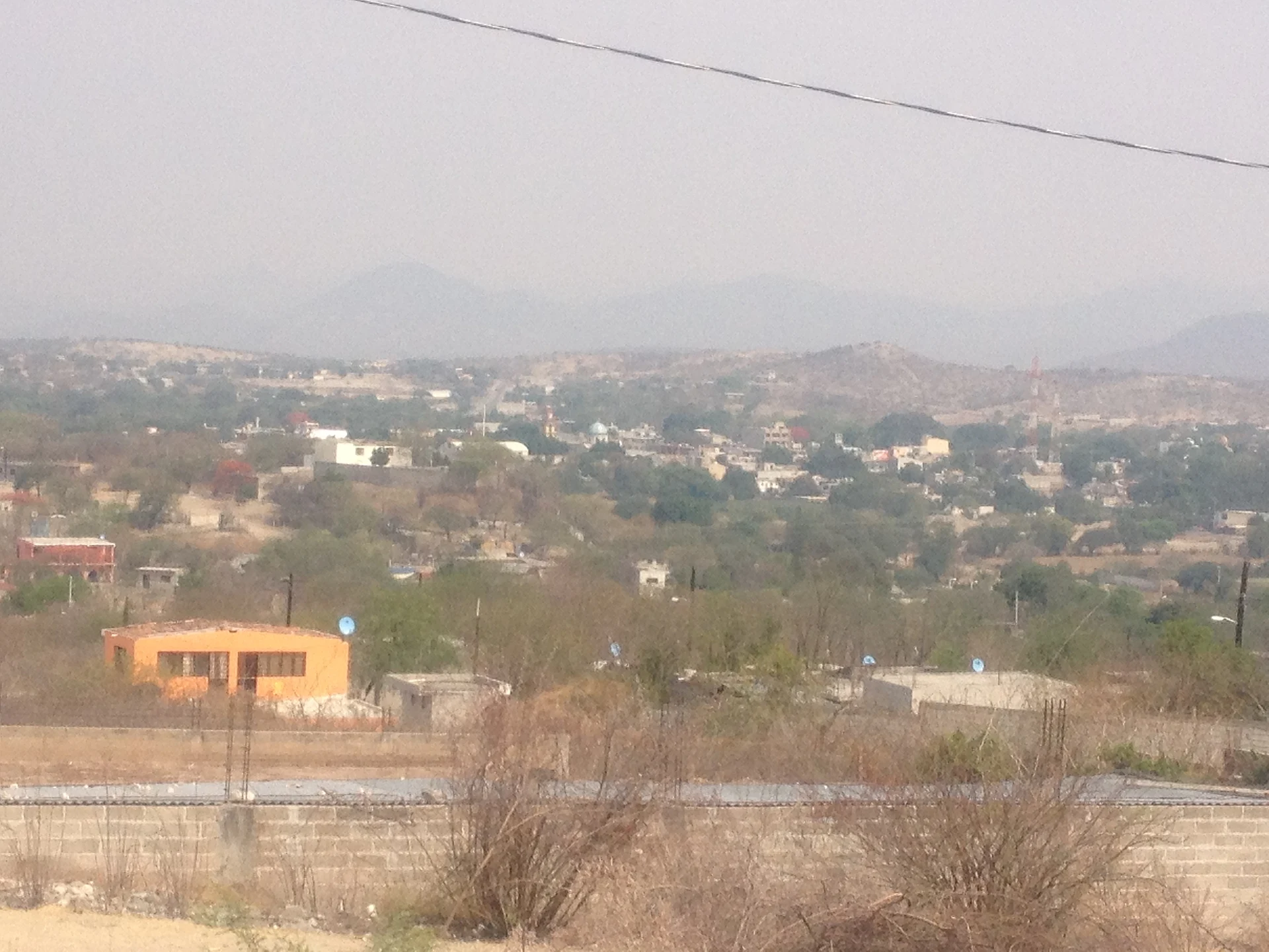
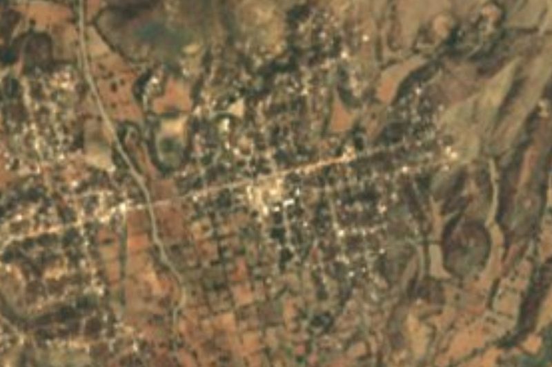
Tehuitzingo is the seat of the municipality of the same name in Puebla's Mixteca Baja. The Nahuatl name translates as "among the little pointed stones" or "place of small sharp stones". The town stands at about 1,065 m and had 6,644 people in 2020.
The municipality, about 491 km², is the ninth largest in the state and belongs to the Matamoros valley region. Its north lies in that warm valley, suited to sugar cane, while its south, where the town is, is made of small valleys among the mountains of the Sierra Mixteca. The Atoyac River, one of the rivers that form the Balsas, runs through it. A dam between La Noria Hidalgo and Boqueroncito irrigates mainly watermelon, papaya and maize. Its juntas auxiliares are La Noria Hidalgo, Tejalpa, Tuzantlán, Atopoltitlán and Tlachinola, and it is said to have more hamlets than any other municipality in Puebla.
It borders Ahuatlán and Cuayuca to the north, Santa Inés Ahuatempan and Acatlán to the east, Ahuehuetitla, Chinantla and Axutla to the south, and Chiautla and Izúcar de Matamoros to the west. It makes a good stop between Izúcar and Acatlán de Osorio, deep in the dry Mixteca landscape.
How to get to Tehuitzingo
Drive from Atlixco: 1 h 15 min, 81 km
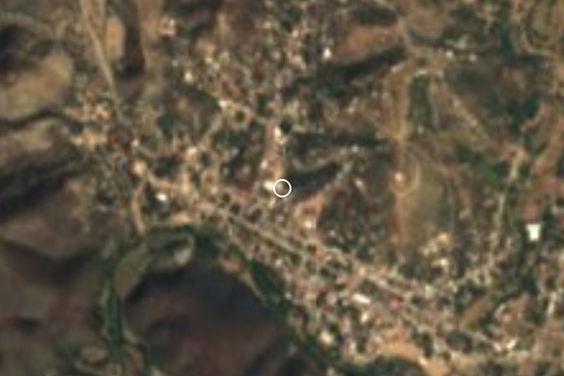
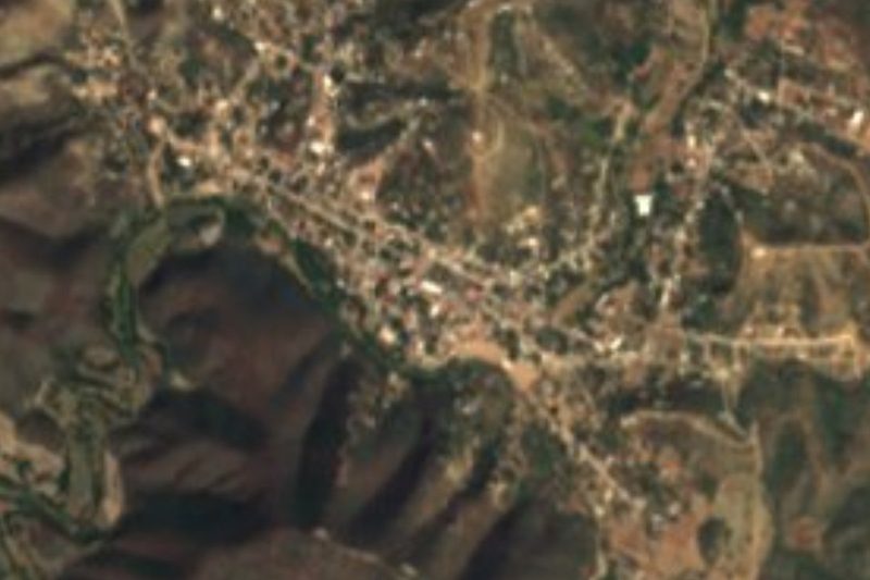
Tehuitzingo lies in the Mixteca Baja between Izúcar de Matamoros and Acatlán de Osorio. Puebla city is about 79 km away in a straight line, roughly 1 h 45 min by car, and the Pueblo Mágico of Atlixco about 66 km. Izúcar, with buses from Puebla's CAPU terminal, is the town to head for.
Directions to Tehuitzingo on Google Maps
Distances are in a straight line; the road is usually longer.
Links open a partner site. We may earn a commission if you book, at no cost to you.
From the nearest cities to Tehuitzingo
- Atlixco · 81 km by road, 1 h 15 min
- Huajuapan de León · 103 km by road, 1 h 35 min
- Cuautla · 108 km by road, 1 h 35 min
Drive times by road from OpenStreetMap, without traffic or stops. Times marked ~ are estimated from the straight-line distance.
Visiting Tehuitzingo: what to see and do
The landscape of valleys and dry hills of the Sierra Mixteca.
The dam between La Noria Hidalgo and Boqueroncito.
The Atoyac River as it crosses the municipality.
Pair it with Izúcar de Matamoros and Acatlán de Osorio.
Plan your trip
Places to stay in Tehuitzingo
Compare hotels, posadas, and rentals in and around Tehuitzingo.
Tours & activities
Day trips around Atlixco sometimes stop in Tehuitzingo; a tour is the easy way to see it without a car.
Rental cars
Pick up a car at PBC (Puebla): about 41 min by road to Atlixco, then 66 km more to Tehuitzingo, on your own schedule.
Flights
The nearest airport with scheduled flights is Puebla (PBC), about 41 min by road from Atlixco, the base for Tehuitzingo.
Mobile data
Signal can drop away from Atlixco: download a map of the way to Tehuitzingo before you set out, or carry an eSIM with data.
Links open a partner site. We may earn a commission if you book, at no cost to you.
When to go to Tehuitzingo mild
Tehuitzingo shares the climate of Atlixco, 66 km away. The best months to visit are January, February, March, and December.
See the month-by-month climate of Atlixco
Weather in Tehuitzingo now and the next 7 days
Live forecast from Open-Meteo. Chance of rain is the day's highest.
The closest Pueblo Mágico: Atlixco

Atlixco is the Pueblo Mágico closest to Tehuitzingo, with places to stay, food, and more to see.
Closest to Tehuitzingo
-
Ahuehuetitla · Village · 15 km away
-
Chinantla · Village · 15 km away
-
Piaxtla · Village · 15 km away
-
Axutla · Village · 20 km away
-
San Bernardo · Village · 22 km away
-
San Vicente Boquerón · Village · 24 km away
-
Tecomatlán · Village · 25 km away
-
Ahuatlán · Village · 27 km away

Near Tehuitzingo
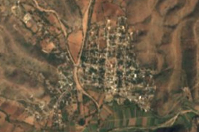


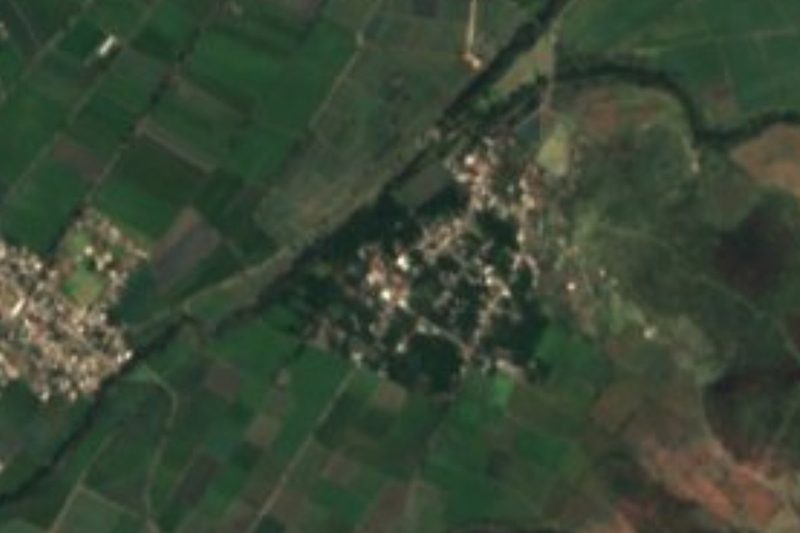
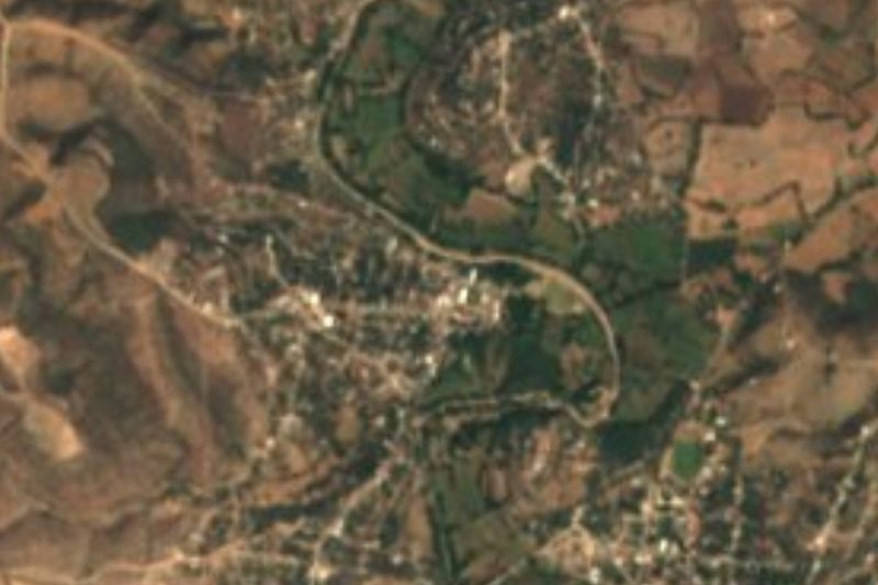

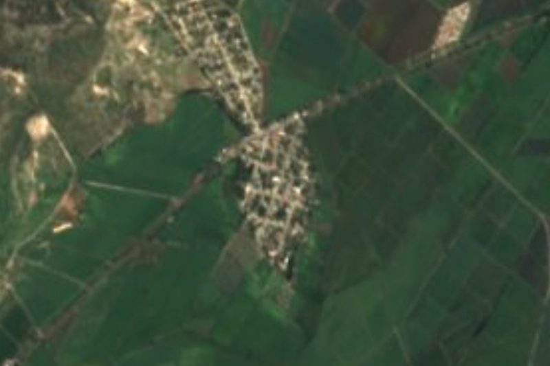
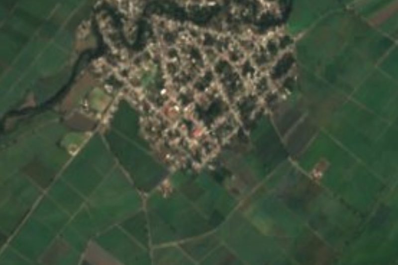
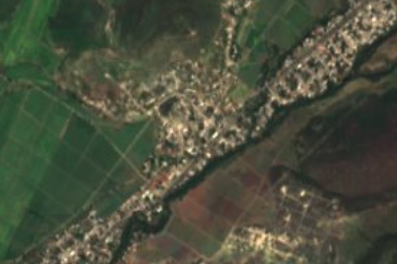


Drive times by road from OpenStreetMap, without traffic. Times marked ~ are estimated from the straight-line distance.
Location from OpenStreetMap. Written by Puebloteca.