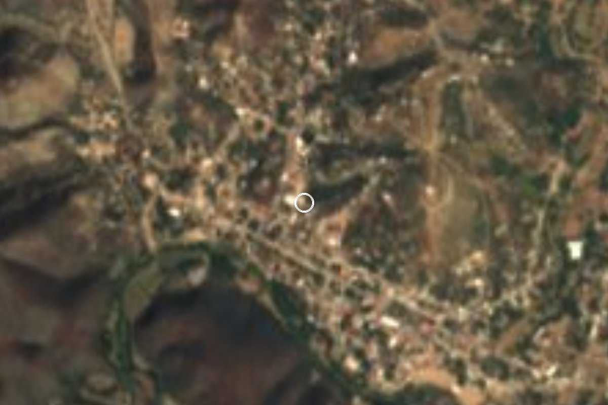
Village Chinantla, Puebla Mixteca Poblana
Mixteca Poblana seat divided from Piaxtla by a single street, with a 16th-century church and Tecuanis and Doce Pares dances on 25 January.
From Huajuapan de León: 1 h 30 min by car (98 km by road) How to get there ↓
Near here
See everything nearby ↓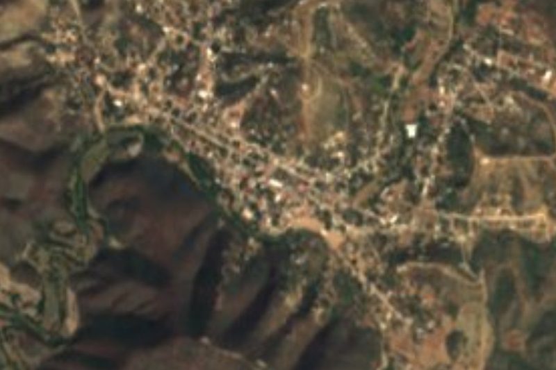



Plan your visit to Chinantla
Where to stay near Chinantla
Compare hotels, posadas and guest houses in Chinantla.
Tours to Chinantla
Day trips and guided outings from Atlixco often include Chinantla; with a local guide you can get there without a car.
 Tours from Atlixco
Atlixco Volcano Views Popocatépetl Tour Forest Route
From US$108
How to get to Chinantla
- From Huajuapan de León: about 1 h 30 min by road (~98 km)
- Nearest airport: Puebla (PBC), 41 min by car to Atlixco
Links open a partner site. We may earn a commission if you book, at no cost to you.
Tours from Atlixco, near Chinantla
Tours, prices and ratings from Viator, checked weekly. We may earn a commission if you book.
About Chinantla
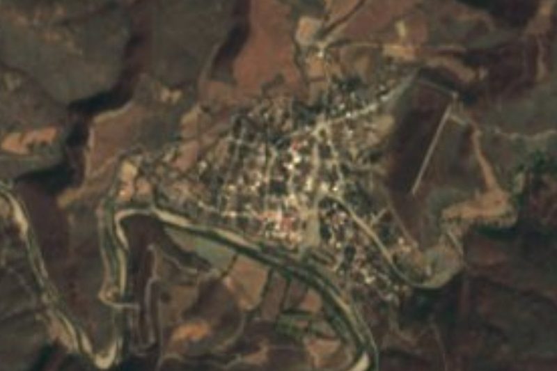
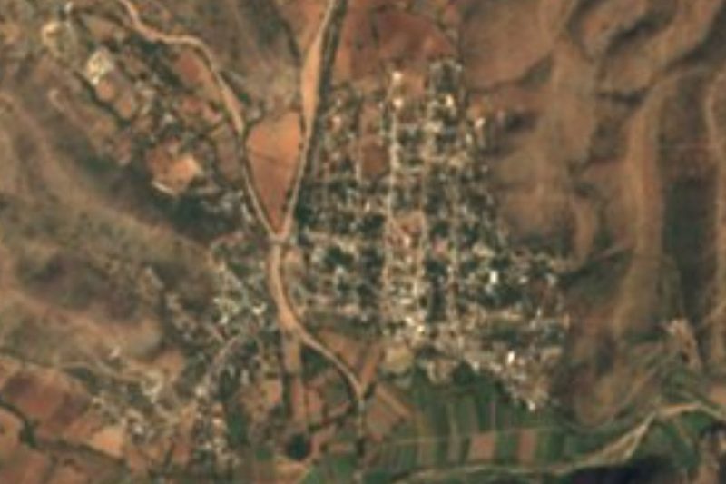
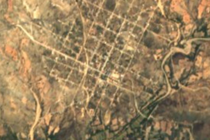
In Chinantla the municipal boundary is literally a street: the town is joined to Piaxtla, and a single road separates the two. It lies in the Mixteca Poblana, in the broad valley that opens in the middle of the Sierra de Acatlán at about 1,200 m, and in 2020 had 1,626 residents, most of them growing maize, beans and squash.
The climate is warm and fairly humid, with summer rains broken by the so-called mid-summer drought, and 200 to 240 clear days a year. The hills to the west and northeast, rising to about 1,520 m, are covered in low deciduous forest, and their streams drain to the Mixteco or the Atoyac.
According to the federal encyclopedia of municipalities, it was founded by Nahua, Popoloca and Mixtec groups; in colonial times the native population was gathered here, and at the end of the 16th century it was granted the rank of pueblo. In the 19th century it belonged to the Acatlán district, and by 1895 it was a free municipality. Among its notable people is Jesús Zafra, a lawyer and general who fought in the French Intervention of 1862.
The 16th-century parish church is the main building in town. The big fiesta is on 25 January for Padre Jesús, with processions, fireworks and the Tecuanis, Doce Pares de Francia and Vaqueros dances. Through the year there are also feasts for San José (21 March), the Virgen de la Luz (5 May) and San Isidro Labrador (15 May). The town has its own brass band, and local food includes mole, pipián, tamales, palanquetas (nut brittle) and aguardiente.
How to get to Chinantla
Drive from Huajuapan de León: 1 h 30 min, 98 km
From Acatlán de Osorio take federal highway 190 towards Izúcar de Matamoros and after about 28 km turn onto state road 610 towards Piaxtla and Chinantla: about 36 km and 35 minutes in all. From Izúcar de Matamoros it is about 64 km and 1 hour on the same 190 and the 610. From Puebla's CAPU it is about 135 km and 2 hours via the 190D toll road (Puebla-Atlixco), highway 190 through Izúcar and the 610. From Atlixco, the nearest pueblo mágico, it is about 101 km and 1 h 35 min on highway 190. By bus, go to Acatlán de Osorio or Izúcar first and ask there about transport to Piaxtla and Chinantla.
Directions to Chinantla on Google Maps
Distances are in a straight line; the road is usually longer.
Links open a partner site. We may earn a commission if you book, at no cost to you.
From the nearest cities to Chinantla
- Huajuapan de León · 98 km by road, 1 h 30 min
- Atlixco · 101 km by road, 1 h 35 min
- Tlapa · 109 km by road, 1 h 45 min
Drive times by road from OpenStreetMap, without traffic or stops. Times marked ~ are estimated from the straight-line distance.
Before you go to Chinantla: hours, prices and tips
- Best season
- Padre Jesús fiesta on 25 January, with dances and fireworks. Enciclopedia de los Municipios de México (INAFED) · checked Oct 2026
Hours and prices change, especially around holidays. Each fact links to where we checked it.
Visiting Chinantla: what to see and do
The 16th-century parish church, open all year round.
The Padre Jesús fiesta on 25 January, with Tecuanis, Doce Pares de Francia and Vaqueros dances.
The street that divides Chinantla from Piaxtla.
The town's own brass band at fiestas.
Plan your trip
Places to stay in Chinantla
Compare hotels, posadas, and rentals in and around Chinantla.
Tours & activities
Day trips and guided outings from Atlixco often include Chinantla; with a local guide you can get there without a car.
Rental cars
Pick up a car at PBC (Puebla): about 41 min by road to Atlixco, then 81 km more to Chinantla, on your own schedule.
Flights
The nearest airport with scheduled flights is Puebla (PBC), about 41 min by road from Atlixco, the base for Chinantla.
Mobile data
Signal can drop away from Atlixco: download a map of the way to Chinantla before you set out, or carry an eSIM with data.
Links open a partner site. We may earn a commission if you book, at no cost to you.
When to go to Chinantla mild
Chinantla shares the climate of Atlixco, 81 km away. The best months to visit are January, February, March, and December.
See the month-by-month climate of Atlixco
Weather in Chinantla now and the next 7 days
Live forecast from Open-Meteo. Chance of rain is the day's highest.
The closest Pueblo Mágico: Atlixco

Atlixco is the Pueblo Mágico closest to Chinantla, with places to stay, food, and more to see.
Closest to Chinantla
-
Piaxtla · Village · 0 km away
-
Ahuehuetitla · Village · 5 km away
-
Tecomatlán · Village · 11 km away
-
Axutla · Village · 14 km away
-
Tehuitzingo · Town · 15 km away
-
San Bernardo · Village · 17 km away
-
Amatitlán de Azueta · Village · 20 km away
-
San Pablo Anicano · Village · 21 km away
Near Chinantla





Drive times by road from OpenStreetMap, without traffic. Times marked ~ are estimated from the straight-line distance.
Location from OpenStreetMap. Written by Puebloteca.