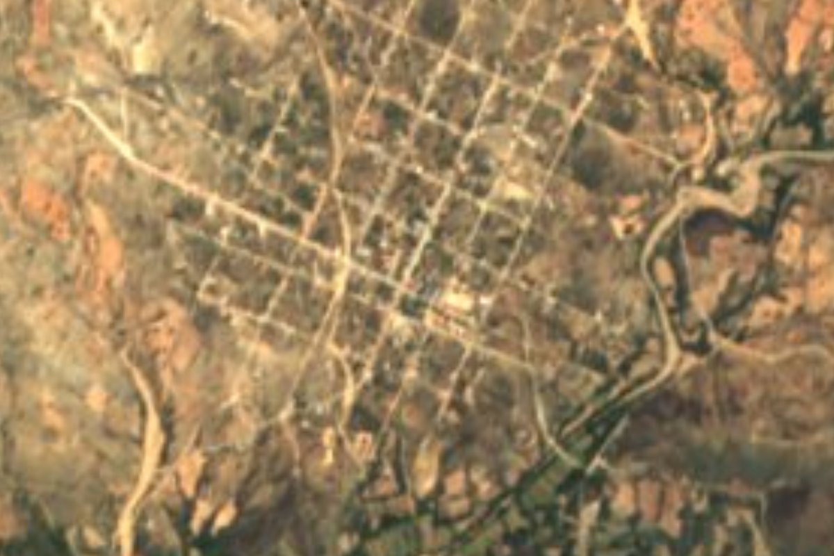
Village Totoltepec de Guerrero, Puebla Mixteca Poblana
"On the hill of the birds": a Mixteca seat where thousands of pilgrims arrive on the second Friday of Lent to see the Señor de la Salud.
From Huajuapan de León: 1 h 15 min by car (63 km by road) How to get there ↓
Near here
See everything nearby ↓



Plan your visit to Totoltepec de Guerrero
Where to stay near Totoltepec de Guerrero
Compare hotels, posadas and guest houses in Totoltepec de Guerrero.
Tours to Totoltepec de Guerrero
Day trips and guided outings from Teposcolula often include Totoltepec de Guerrero; with a local guide you can get there without a car.
 Tours from Atlixco
Atlixco Volcano Views Popocatépetl Tour Forest Route
From US$108
How to get to Totoltepec de Guerrero
- From Huajuapan de León: about 1 h 15 min by road (~63 km)
- Nearest airport: Oaxaca (OAX), 1 h 45 min by car to Teposcolula
Links open a partner site. We may earn a commission if you book, at no cost to you.
Tours from Atlixco, near Totoltepec de Guerrero
Tours, prices and ratings from Viator, checked weekly. We may earn a commission if you book.
About Totoltepec de Guerrero
On the second Friday of Lent this village of 949 people (2020 census) receives thousands of pilgrims arriving on foot, by bicycle or by truck from central and southern Puebla, Veracruz, Mexico City and the State of Mexico. They come for the Señor de la Salud, a wooden crucified Christ about 1.75 m tall that arrived in the 17th century, whose feast outweighs that of the patron, the Immaculate Conception, on 8 December. The date belongs to a regional chain: Tepexi de Rodríguez celebrates on the first Friday of Lent, Totoltepec on the second, San Jerónimo Xayacatlán on the fourth and Tejalpa on the fifth.
The name, from totol, tepetl and co, means "on the hill of the birds" and was already in use before the Conquest; afterwards the village was Santa María Totoltepec. The municipality dates from 1870 and took the surname Guerrero in 1921. There was a vicariate here from 1747, and the parish was first canonically erected on 13 August 1765, with Xayacatlán, Tonahuixtla and Chichihualtepec among its villages; in 1864 the parish seat moved to San Jerónimo Xayacatlán. The neighbourhoods keep their own feasts: Saint Anthony on 13 June, Saint John on the 24th, Saint Christopher on 25 July and Saint Michael on 29 September.
The seat lies at 1,361 m in a 148 km² municipality bordering Oaxaca. The Acatlán river, part of the Balsas basin, crosses it from northeast to southwest, fed by streams such as the Chichihualtepec, Cacalote and Gavilán. The climate is mostly semi-warm and subhumid, averaging 16 to 24 °C, and almost half the land is tropical dry forest, with grassland and scrub; less than a tenth is farmed. People weave palm hats and baskets, and brass bands play at the festivals. The kitchen offers goat mole, mutton and goat barbacoa, enfrijoladas and comal tortillas, with pinole of native maize, palanquetas, mezcal and cane spirit.
How to get to Totoltepec de Guerrero
Drive from Huajuapan de León: 1 h 15 min, 63 km
Totoltepec de Guerrero lies in southern Puebla, about 98 km in a straight line from the state capital and some 56 km from Tehuacán. It borders Coyotepec, Atexcal, Petlalcingo and San Jerónimo Xayacatlán, and Oaxaca to the west; Teposcolula is about 88 km away.
Directions to Totoltepec de Guerrero on Google Maps
Distances are in a straight line; the road is usually longer.
Links open a partner site. We may earn a commission if you book, at no cost to you.
From the nearest cities to Totoltepec de Guerrero
- Huajuapan de León · 63 km by road, 1 h 15 min
- Tehuacán · 91 km by road, 1 h 40 min
- Atlixco · about 125 km by road, ~1 h 55 min
Drive times by road from OpenStreetMap, without traffic or stops. Times marked ~ are estimated from the straight-line distance.
Visiting Totoltepec de Guerrero: what to see and do
The parish church and the Señor de la Salud, a 17th-century carving.
The pilgrimage on the second Friday of Lent.
The Acatlán river valley and the dry forest of the Mixteca.
Plan your trip
Places to stay in Totoltepec de Guerrero
Compare hotels, posadas, and rentals in and around Totoltepec de Guerrero.
Tours & activities
Day trips and guided outings from Teposcolula often include Totoltepec de Guerrero; with a local guide you can get there without a car.
Rental cars
Pick up a car at OAX (Oaxaca): about 1 h 45 min by road to Teposcolula, then 88 km more to Totoltepec de Guerrero, on your own schedule.
Flights
The nearest airport with scheduled flights is Oaxaca (OAX), about 1 h 45 min by road from Teposcolula, the base for Totoltepec de Guerrero.
Mobile data
Signal can drop away from Teposcolula: download a map of the way to Totoltepec de Guerrero before you set out, or carry an eSIM with data.
Links open a partner site. We may earn a commission if you book, at no cost to you.
When to go to Totoltepec de Guerrero cool
Totoltepec de Guerrero shares the climate of Teposcolula, 88 km away. The best months to visit are January, February, March, and December.
See the month-by-month climate of Teposcolula
Weather in Totoltepec de Guerrero now and the next 7 days
Live forecast from Open-Meteo. Chance of rain is the day's highest.
The closest Pueblo Mágico: Teposcolula

Teposcolula is the Pueblo Mágico closest to Totoltepec de Guerrero, with places to stay, food, and more to see.
Closest to Totoltepec de Guerrero
-
San Jerónimo Xayacatlán · Village · 6 km away
-
Xayacatlán de Bravo · Village · 13 km away
-
Petlalcingo · Village · 17 km away
-
El Rosario Micaltepec · Village · 19 km away
-
Acatlán de Osorio · Town · 21 km away
-
San Felipe Otlaltepec · Village · 21 km away
-
San Vicente Coyotepec · Village · 21 km away
-
San Vicente Boquerón · Village · 22 km away
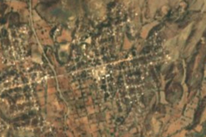
Near Totoltepec de Guerrero

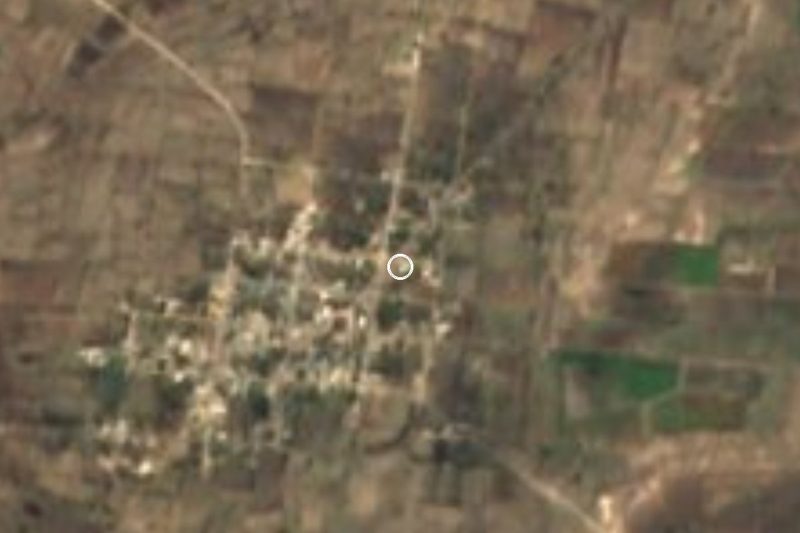
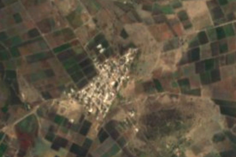



Drive times by road from OpenStreetMap, without traffic. Times marked ~ are estimated from the straight-line distance.
Location from OpenStreetMap. Written by Puebloteca.