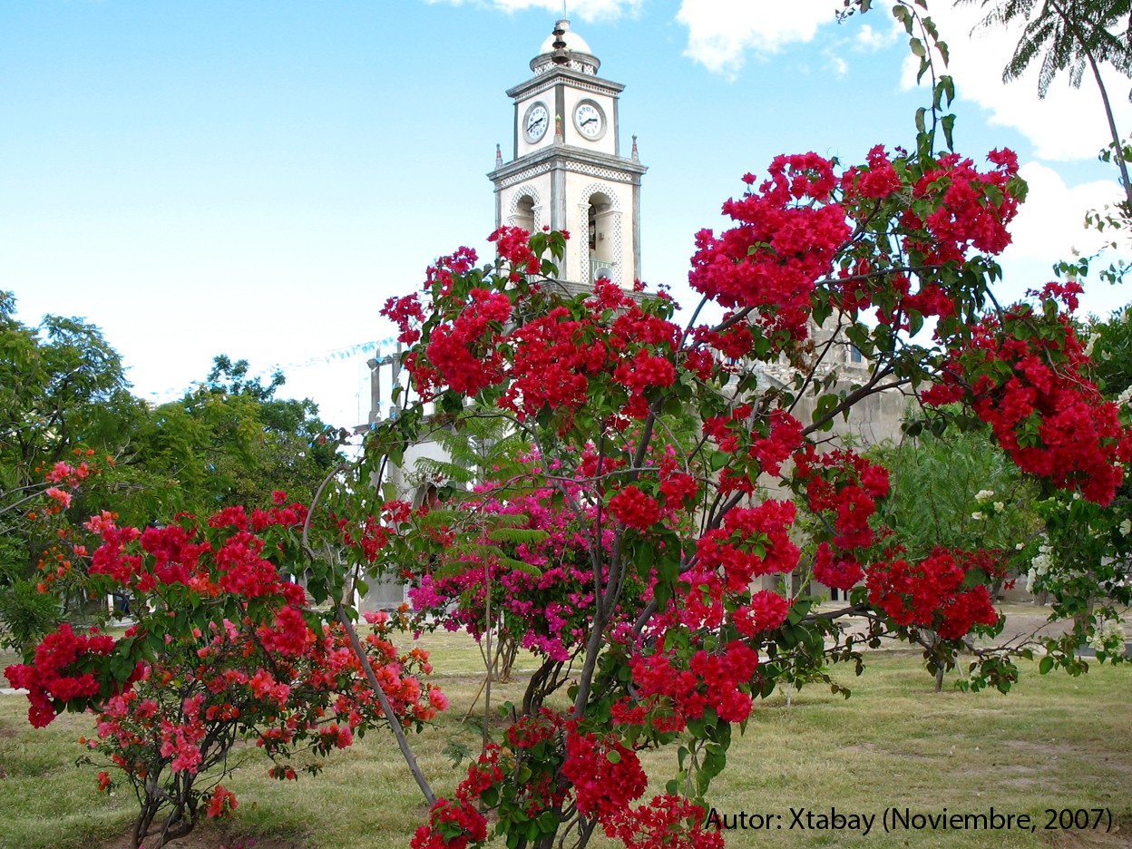
Village Petlalcingo, Puebla Municipality of Petlalcingo Mixteca Poblana
Farming community in Puebla's Mixteca, in Petlalcingo by the Oaxaca line; in 2008 it hosted the first gathering of Mixteca acrobats.
From Huajuapan de León: 40 min by car (39 km by road) How to get there ↓
Near here
See everything nearby ↓

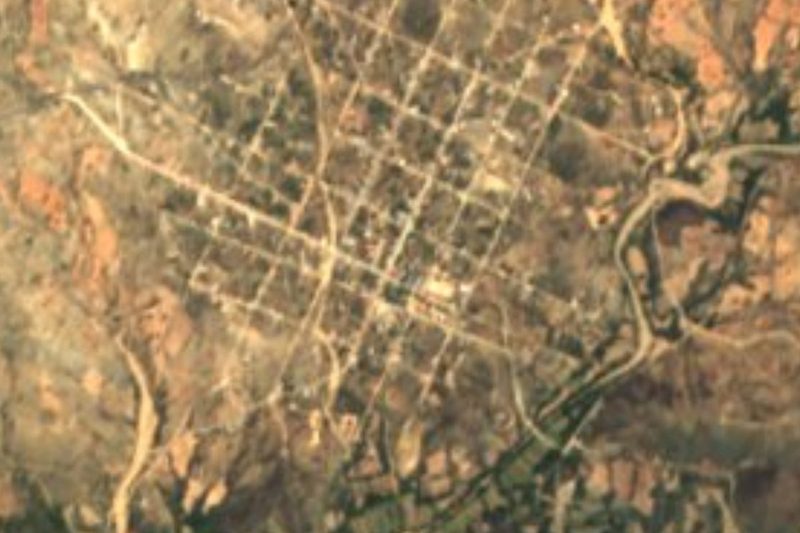
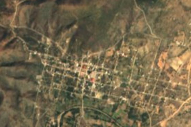
Plan your visit to El Rosario Micaltepec
Where to stay near El Rosario Micaltepec
Compare hotels, posadas and guest houses in El Rosario Micaltepec.
Tours to El Rosario Micaltepec
Day trips and guided outings from Teposcolula often include El Rosario Micaltepec; with a local guide you can get there without a car.
How to get to El Rosario Micaltepec
- From Huajuapan de León: about 40 min by road (~39 km)
- Nearest airport: Oaxaca (OAX), 1 h 45 min by car to Teposcolula
Links open a partner site. We may earn a commission if you book, at no cost to you.
About El Rosario Micaltepec
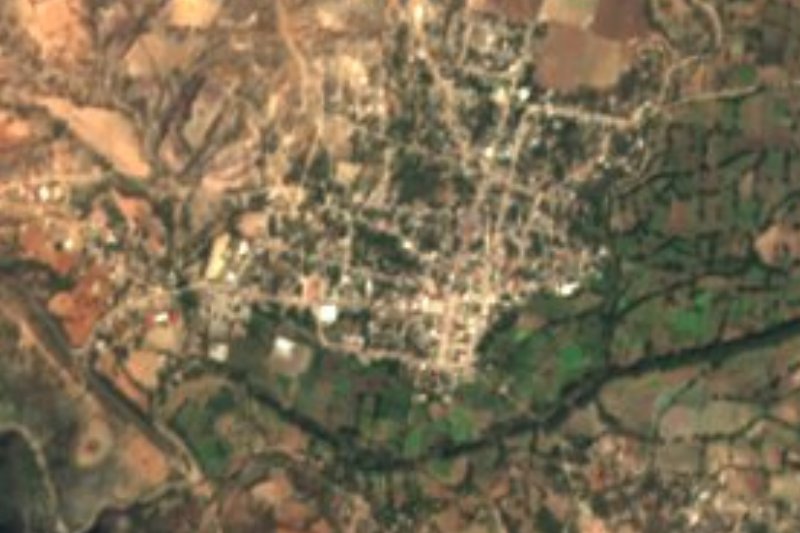
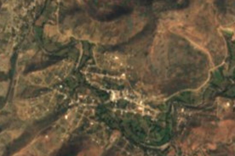
El Rosario Micaltepec is a small farming community in Puebla's Mixteca, in the municipality of Petlalcingo. It had 250 people in 2010, 29% of them Indigenous, and 275 in 2020. It stands at about 1,450 m. It was originally just El Rosario; to tell it apart from another place of the same name, Micaltepec was added, after the abundant mica in a nearby hill.
The year's festivals set the village's rhythm: the feast of its patron, the Virgin of the Rosary, and the Day of the Dead in early November. At Christmas the locos come out, villagers in costume dancing through the streets, one of the most striking traditions. In October 2008, during the patron-saint festival, El Rosario Micaltepec hosted the first gathering of maromeros from the Mixteca, the region's traditional acrobats: nine troupes took part, seven from Oaxaca and two from Puebla, with performers such as Isabel Bonilla "Chabelita", Avelino Morales "Abelín" and Venustiano Martínez "Chiquilín", and the host, Jesús Teófilo.
The municipality of Petlalcingo lies at the southern tip of Puebla, next to Oaxaca, which it borders through Cosoltepec, Tequixtepec, Huajuapan de León and Ayuquila. It covers about 234 km² between 1,200 and 2,000 m, with the Acatlán valley to the north and the Sierra Mixteca dominating the relief. The Petlalcingo River, a tributary of the Acatlán in the upper Balsas basin, runs through it.
How to get to El Rosario Micaltepec
Drive from Huajuapan de León: 40 min, 39 km
El Rosario Micaltepec lies in the municipality of Petlalcingo at the southern tip of Puebla, next to the Oaxaca line; Huajuapan de León in Oaxaca is a neighbouring municipality. Tehuacán is about 67 km away in a straight line and Puebla city about 117 km. Your own vehicle is the practical way to come.
Directions to El Rosario Micaltepec on Google Maps
Distances are in a straight line; the road is usually longer.
Links open a partner site. We may earn a commission if you book, at no cost to you.
From the nearest cities to El Rosario Micaltepec
- Huajuapan de León · 39 km by road, 40 min
- Tehuacán · 106 km by road, 1 h 50 min
- Tlapa · about 125 km by road, ~1 h 50 min
Drive times by road from OpenStreetMap, without traffic or stops. Times marked ~ are estimated from the straight-line distance.
Before you go to El Rosario Micaltepec: hours, prices and tips
- Best season
- The Virgin of the Rosary festival is in October; the locos dance at Christmas. Wikipedia · checked Oct 2026
Hours and prices change, especially around holidays. Each fact links to where we checked it.
Visiting El Rosario Micaltepec: what to see and do
The Virgin of the Rosary festival, with Mixteca acrobats.
The locos dancing at Christmas.
The mica hill that gave the village its name.
The landscape of the Sierra Mixteca.
Plan your trip
Places to stay in El Rosario Micaltepec
Compare hotels, posadas, and rentals in and around El Rosario Micaltepec.
Tours & activities
Day trips and guided outings from Teposcolula often include El Rosario Micaltepec; with a local guide you can get there without a car.
Rental cars
Pick up a car at OAX (Oaxaca): about 1 h 45 min by road to Teposcolula, then 70 km more to El Rosario Micaltepec, on your own schedule.
Flights
The nearest airport with scheduled flights is Oaxaca (OAX), about 1 h 45 min by road from Teposcolula, the base for El Rosario Micaltepec.
Mobile data
Signal can drop away from Teposcolula: download a map of the way to El Rosario Micaltepec before you set out, or carry an eSIM with data.
Links open a partner site. We may earn a commission if you book, at no cost to you.
When to go to El Rosario Micaltepec cool
El Rosario Micaltepec shares the climate of Teposcolula, 70 km away. The best months to visit are January, February, March, and December.
See the month-by-month climate of Teposcolula
Weather in El Rosario Micaltepec now and the next 7 days
Live forecast from Open-Meteo. Chance of rain is the day's highest.
The closest Pueblo Mágico: Teposcolula

Teposcolula is the Pueblo Mágico closest to El Rosario Micaltepec, with places to stay, food, and more to see.
Closest to El Rosario Micaltepec
-
Chila · Village · 8 km away
-
Petlalcingo · Village · 8 km away
-
Texcalapa de Juárez · Village · 15 km away
-
San José Ayuquila · Town · 17 km away
-
Totoltepec de Guerrero · Village · 19 km away
-
San Jerónimo Xayacatlán · Village · 21 km away
-
San Pedro Yeloixtlahuaca · Village · 25 km away
-
Xayacatlán de Bravo · Village · 25 km away


Near El Rosario Micaltepec

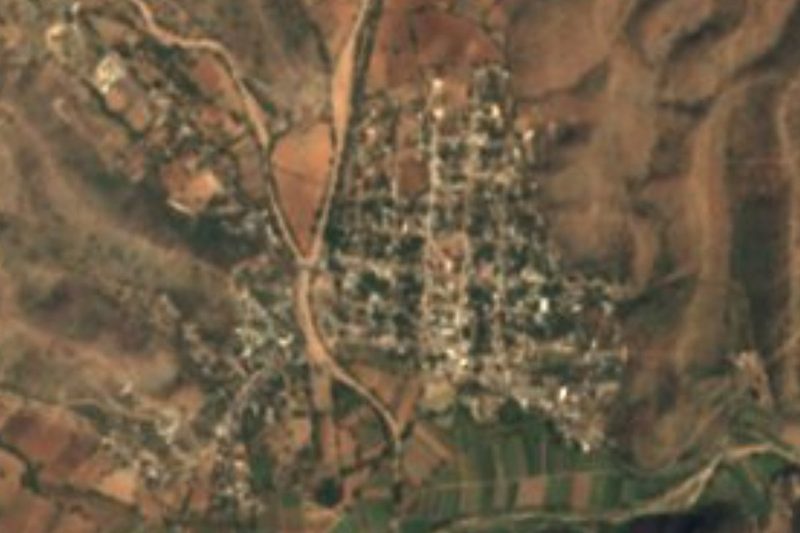

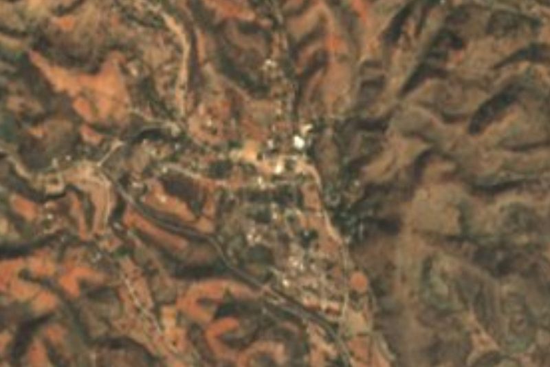

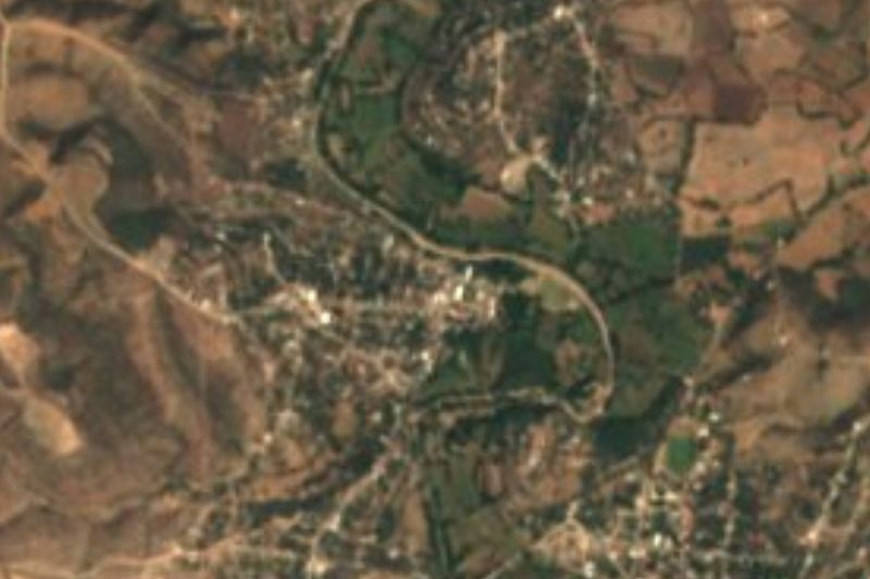
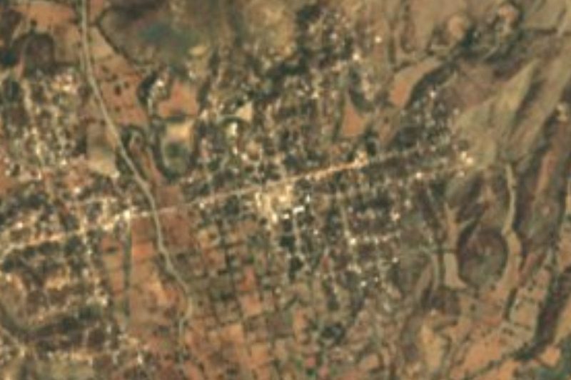

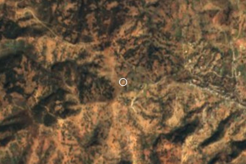

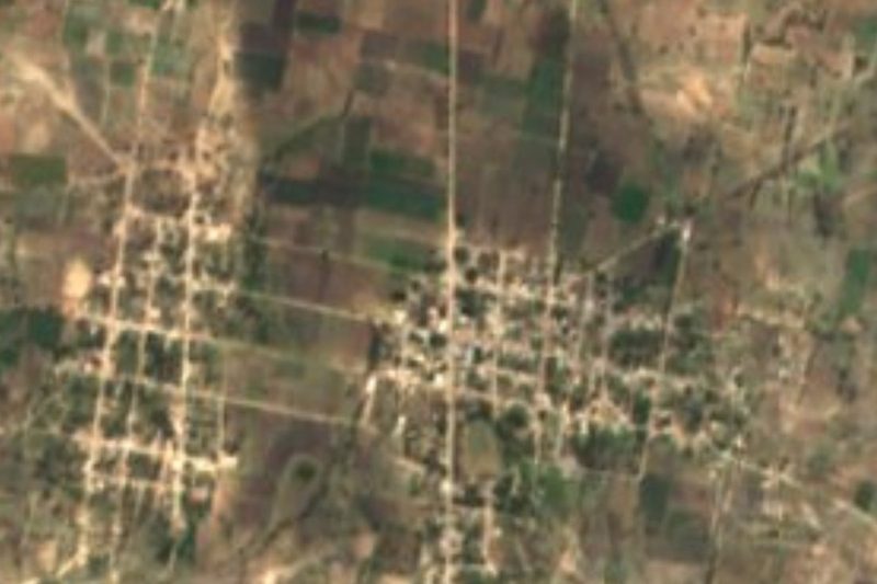
Drive times by road from OpenStreetMap, without traffic. Times marked ~ are estimated from the straight-line distance.
Location from OpenStreetMap. Written by Puebloteca.