Town San Marcos Arteaga, Oaxaca Mixteca of Oaxaca
Mixtec seat at 1,455 m in the sierra southwest of Huajuapan de León, with about 1,100 residents.
From Huajuapan de León: 25 min by car (21 km by road) How to get there ↓
Near here
See everything nearby ↓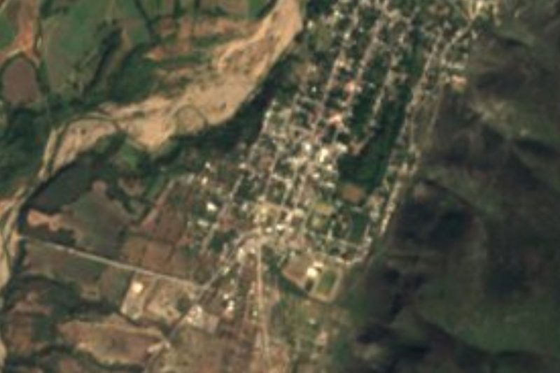


Plan your visit to San Marcos Arteaga
Where to stay near San Marcos Arteaga
Compare hotels, posadas and guest houses in San Marcos Arteaga.
Tours to San Marcos Arteaga
Day trips around Teposcolula sometimes stop in San Marcos Arteaga; a tour is the easy way to see it without a car.
How to get to San Marcos Arteaga
- From Huajuapan de León: about 25 min by road (~21 km)
- Nearest airport: Oaxaca (OAX), 1 h 45 min by car to Teposcolula
Links open a partner site. We may earn a commission if you book, at no cost to you.
About San Marcos Arteaga
San Marcos Arteaga is named for Saint Mark the Evangelist, its patron, and for Simón Arteaga, a member of the triumvirate that governed Oaxaca in 1846 with Fernández del Campo and Benito Juárez. The municipality was created on 31 October 1891 in the Huajuapan district of the Mixteca, and before the conquest this was Mixtec land.
The seat lies at 1,455 m and had 1,115 residents in 2020 (INEGI). Its census series peaks at 1,511 people in 1960 and bottoms out at 706 in 1900, with swings since. The whole municipality has 1,568 residents in five localities; the largest after the seat is Vista Hermosa Lázaro Cárdenas with 347, then Cerro de Agua with 102.
The terrain is sierra: 1,300 to 2,200 m, mostly in the Cordillera Costera del Sur and partly in the Mixteca Alta, over limestone, shale and sandstone. The Río Mixteco, a Balsas tributary, is the main stream. The climate is semi-warm subhumid with summer rains, averaging 18 to 22 °C and 700 to 1,000 mm a year.
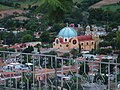
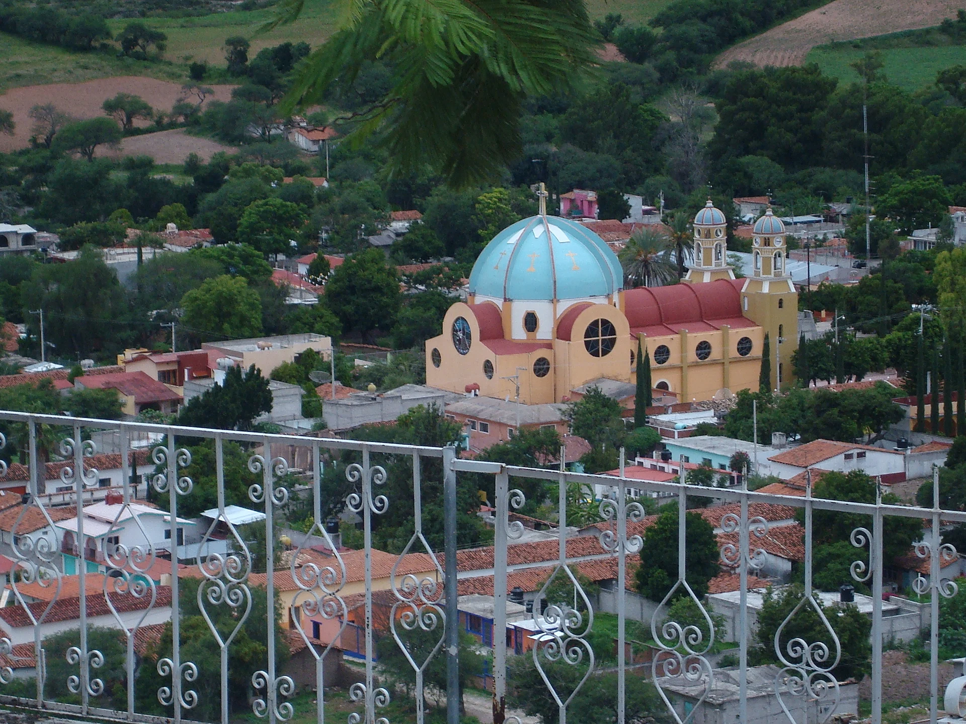
The sources We found describe no monuments or local fiestas; what the town has is a central plaza, shown in the Wikipedia photo, and a dry-hill landscape that shifts with the rains. It is a stop for anyone travelling the Mixteca who wants a small, little-visited seat.
How to get to San Marcos Arteaga
Drive from Huajuapan de León: 25 min, 21 km
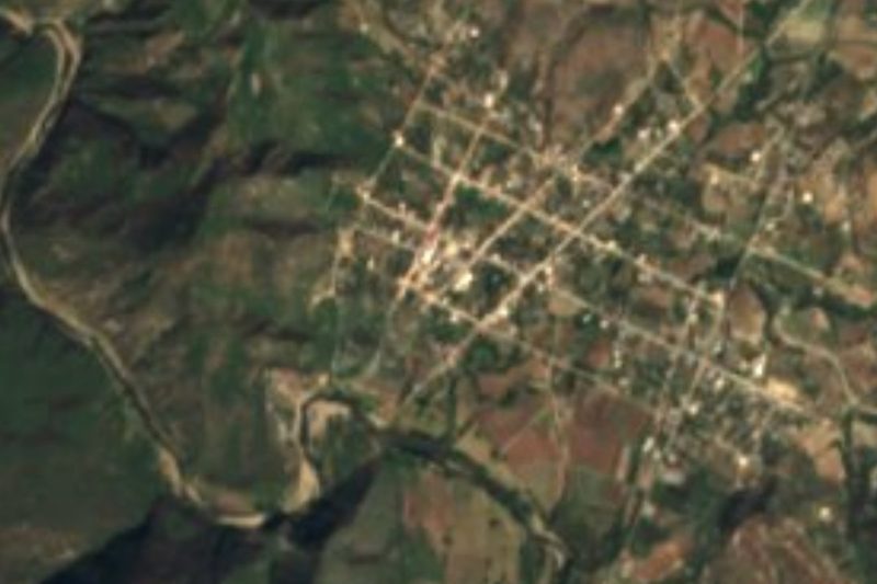
Use Huajuapan de León as your base; it sits where federal highways 190 and 125 cross. A state road runs southwest from there through San Marcos Arteaga and on to Santiago Juxtlahuaca, according to the municipal encyclopedia. San Marcos is about 12 km straight-line from Huajuapan; the road is winding, so allow 30 to 45 minutes by car (approx.).
We found no sourced buses or shared vans. In Huajuapan, ask for transport toward Arteaga or Juxtlahuaca. From Oaxaca city, getting to Huajuapan takes several hours along Highway 190 (approx.); from Tehuacán, the nearest city in our guide, it is about 96 km straight-line.
Directions to San Marcos Arteaga on Google Maps
Distances are in a straight line; the road is usually longer.
Links open a partner site. We may earn a commission if you book, at no cost to you.
From the nearest cities to San Marcos Arteaga
- Huajuapan de León · 21 km by road, 25 min
- Tehuacán · 139 km by road, 2 h 35 min
- Oaxaca · 191 km by road, 2 h 45 min
Drive times by road from OpenStreetMap, without traffic or stops. Times marked ~ are estimated from the straight-line distance.
Visiting San Marcos Arteaga: what to see and do
Walk the plaza and the centre of town.
Ask about the fiesta of San Marcos Evangelista, the town's patron.
Take in the sierra scenery between 1,300 and 2,200 m.
Follow the Río Mixteco in the surroundings.
Visit Vista Hermosa Lázaro Cárdenas, the municipality's second locality.
Plan your trip
Places to stay in San Marcos Arteaga
Compare hotels, posadas, and rentals in and around San Marcos Arteaga.
Tours & activities
Day trips around Teposcolula sometimes stop in San Marcos Arteaga; a tour is the easy way to see it without a car.
Rental cars
Pick up a car at OAX (Oaxaca): about 1 h 45 min by road to Teposcolula, then 45 km more to San Marcos Arteaga, on your own schedule.
Flights
The nearest airport with scheduled flights is Oaxaca (OAX), about 1 h 45 min by road from Teposcolula, the base for San Marcos Arteaga.
Mobile data
Signal can drop away from Teposcolula: download a map of the way to San Marcos Arteaga before you set out, or carry an eSIM with data.
Links open a partner site. We may earn a commission if you book, at no cost to you.
When to go to San Marcos Arteaga cool
San Marcos Arteaga shares the climate of Teposcolula, 45 km away. The best months to visit are January, February, March, and December.
See the month-by-month climate of Teposcolula
Weather in San Marcos Arteaga now and the next 7 days
Live forecast from Open-Meteo. Chance of rain is the day's highest.
The closest Pueblo Mágico: Teposcolula

Teposcolula is the Pueblo Mágico closest to San Marcos Arteaga, with places to stay, food, and more to see.
Closest to San Marcos Arteaga
-
Santo Domingo Tonalá · Town · 12 km away
-
Cerro de las Minas · Archaeological site · 14 km away
-
Yucuquimi de Ocampo · Town · 15 km away
-
Santiago Huajolotitlán · Town · 18 km away
-
Santa Catarina Yutandú · Town · 19 km away
-
San Agustín Atenango · Town · 20 km away
-
La Colmena · Village · 21 km away
-
San José Ayuquila · Town · 27 km away
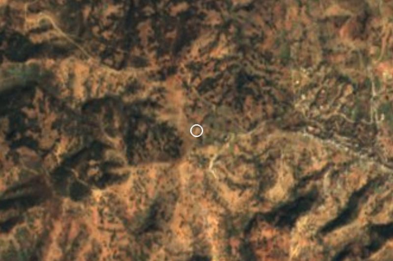

Near San Marcos Arteaga






Drive times by road from OpenStreetMap, without traffic. Times marked ~ are estimated from the straight-line distance.
Location from OpenStreetMap. Written by Puebloteca.