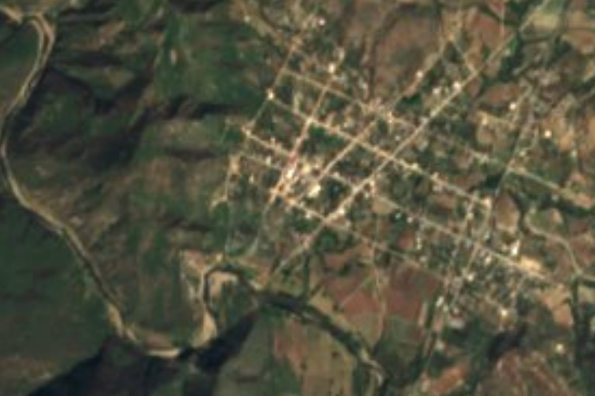
Town San Agustín Atenango, Oaxaca Mixteca of Oaxaca
Mixtec town of 1,315 at about 1,300 m in the Silacayoápam district, called Yojo Ndavi in Mixtec; nearly half the municipality speaks Mixtec.
From Huajuapan de León: 1 h by car (56 km by road) How to get there ↓
Near here
See everything nearby ↓


Plan your visit to San Agustín Atenango
Where to stay near San Agustín Atenango
Compare hotels, posadas and guest houses in San Agustín Atenango.
Tours to San Agustín Atenango
Day trips around Teposcolula sometimes stop in San Agustín Atenango; a tour is the easy way to see it without a car.
How to get to San Agustín Atenango
- From Huajuapan de León: about 1 h by road (~56 km)
- Nearest airport: Oaxaca (OAX), 1 h 45 min by car to Teposcolula
Links open a partner site. We may earn a commission if you book, at no cost to you.
About San Agustín Atenango
In Mixtec the town is Yojo Ndavi, glossed as "deep plain", and its patron is San Agustín de Hipona. San Agustín Atenango is the seat of a Mixteca municipality in the Silacayoápam district, whose area is given as between 69 and 83 km² depending on the source. It borders San Pedro Mártir and Santo Domingo Tonalá to the north, San Andrés Yutatío and Santa María Yucuiná to the east, San Francisco Paxtlahuaca to the south and Huastepec to the west. The hills El Zacate, San Mateo el Viejo and El Encinal shape the landscape at an average height of about 1,300 m, within a range of 1,200 to 2,300 m.
The census series tells a story of ups and downs: 918 people in 1900, 1,554 in 1970, a figure of only 528 in 1980 that probably reflects an error or a change in how it was recorded, 1,658 in 1990 and 1,315 in 2020. The municipality has seven localities and 1,871 residents; the largest is the seat, followed by San Francisco Paxtlahuaca with 338 and San Mateo de Libres with 131. Nearly half the population, 892 people or 47.9%, speak Mixtec, and almost 1,600 identify as indigenous.
It is a place of everyday Mixtec life with few tourist services: in the municipal data, of 1,321 dwellings 984 have dirt floors, and 49.9% of residents live in moderate poverty. It lies about 243 km from the state capital, a long trip before you reach the Mixteca. Visitors come out of curiosity about the lower Mixteca, its hills, and a town that is off the usual tourist routes.
How to get to San Agustín Atenango
Drive from Huajuapan de León: 1 h, 56 km
San Agustín Atenango is about 243 km from the city of Oaxaca according to Wikipedia, in the Silacayoápam district of the Mixteca. We found no source for the highway number, the turn-off or bus lines, so we do not give them: confirm the route in Silacayoápam or Huajuapan de León, the regional centres in that area, and on an up-to-date map. In a straight line Teposcolula, the nearest pueblo in our list, is about 56 km away, roughly 65 minutes, and Tehuacán in Puebla about 115 km, roughly 130 minutes, though by road the real trip is considerably longer. Plan on several hours from the state capital and leave early; the municipality is small and services are scarce, so carry cash, water and enough fuel. Ask at the municipal office about the road to neighbouring localities.
Directions to San Agustín Atenango on Google Maps
Distances are in a straight line; the road is usually longer.
Links open a partner site. We may earn a commission if you book, at no cost to you.
From the nearest cities to San Agustín Atenango
- Huajuapan de León · 56 km by road, 1 h
- Tlapa · 135 km by road, 2 h 35 min
- Atlixco · about 195 km by road, ~2 h 55 min
Drive times by road from OpenStreetMap, without traffic or stops. Times marked ~ are estimated from the straight-line distance.
Visiting San Agustín Atenango: what to see and do
Listen for Mixtec in the street; the town is called Yojo Ndavi.
Walk up the hills of El Zacate and El Encinal.
Walk the town centre, under the patronage of San Agustín de Hipona.
Follow the road to San Francisco Paxtlahuaca, the largest neighbouring locality.
Ask at the municipal office about the patron saint's festival.
Plan your trip
Places to stay in San Agustín Atenango
Compare hotels, posadas, and rentals in and around San Agustín Atenango.
Tours & activities
Day trips around Teposcolula sometimes stop in San Agustín Atenango; a tour is the easy way to see it without a car.
Rental cars
Pick up a car at OAX (Oaxaca): about 1 h 45 min by road to Teposcolula, then 56 km more to San Agustín Atenango, on your own schedule.
Flights
The nearest airport with scheduled flights is Oaxaca (OAX), about 1 h 45 min by road from Teposcolula, the base for San Agustín Atenango.
Mobile data
Signal can drop away from Teposcolula: download a map of the way to San Agustín Atenango before you set out, or carry an eSIM with data.
Links open a partner site. We may earn a commission if you book, at no cost to you.
When to go to San Agustín Atenango cool
San Agustín Atenango shares the climate of Teposcolula, 56 km away. The best months to visit are January, February, March, and December.
See the month-by-month climate of Teposcolula
Weather in San Agustín Atenango now and the next 7 days
Live forecast from Open-Meteo. Chance of rain is the day's highest.
The closest Pueblo Mágico: Teposcolula

Teposcolula is the Pueblo Mágico closest to San Agustín Atenango, with places to stay, food, and more to see.
Closest to San Agustín Atenango
-
Santo Domingo Tonalá · Town · 9 km away
-
Ixpantepec Nieves · Town · 12 km away
-
Yucuquimi de Ocampo · Town · 14 km away
-
Silacayoápam · Town · 18 km away
-
San Marcos Arteaga · Town · 20 km away
-
Santa Catarina Yutandú · Town · 22 km away
-
La Colmena · Village · 24 km away
-
San Sebastián Tecomaxtlahuaca · Town · 29 km away
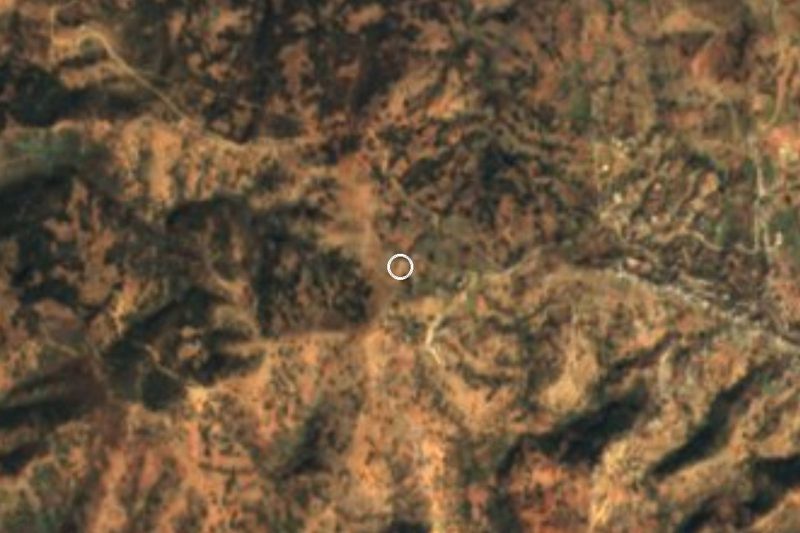

Near San Agustín Atenango


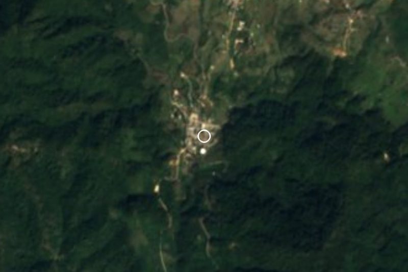





Drive times by road from OpenStreetMap, without traffic. Times marked ~ are estimated from the straight-line distance.
Location from OpenStreetMap. Written by Puebloteca.