

Town San Martín Itunyoso, Oaxaca Mixteca of Oaxaca
Triqui municipal seat in the Mixteca at 2,616 m, with a clock tower and town hall facing a wide plaza.
From Huajuapan de León: 2 h 25 min by car (110 km by road) How to get there ↓
Near here
See everything nearby ↓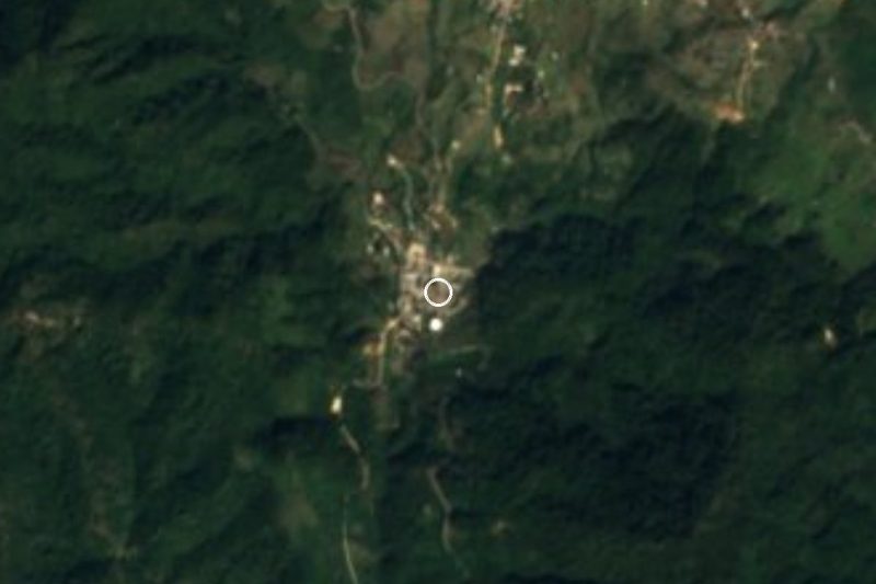


Plan your visit to San Martín Itunyoso
Where to stay near San Martín Itunyoso
Compare hotels, posadas and guest houses in San Martín Itunyoso.
Tours to San Martín Itunyoso
Day trips around Teposcolula sometimes stop in San Martín Itunyoso; a tour is the easy way to see it without a car.
How to get to San Martín Itunyoso
- From Huajuapan de León: about 2 h 25 min by road (~110 km)
- Nearest airport: Oaxaca (OAX), 1 h 45 min by car to Teposcolula
Links open a partner site. We may earn a commission if you book, at no cost to you.
About San Martín Itunyoso
Itunyoso sits at 2,616 metres in the high part of the Tlaxiaco district and is the seat of a small municipality of just 82.93 km². Its people call it Chumanh, which simply means "town" in Triqui, while the Mixtec-based name is read as "hill of the plain" (itun, hill; yoso, plain). The local language is Itunyoso Triqui, one of two Triqui varieties spoken in the municipality (the other is Chicahuaxtla), and in the 2020 census 96% of the town's 1,404 residents identified as indigenous and 80% spoke an indigenous language.
Numbers here have swung a lot: 812 people in 1900, 1,195 in 1980, only 630 in 1990 and back to 1,404 in 2020. The municipality is governed by usos y costumbres and has six localities; after the seat the largest are San José Xochixtlán (824 people) and La Concepción (284). Several hamlets lie right beside the town: La Reforma Itunyoso a kilometre away, Yosonduu two, Santa María Teposlantongo under three, and Santa María Yucunicoco, with 1,738 residents, about four kilometres north.
The plaza is wide, with a multi-storey clock tower and a blue-fronted town hall. Hills above 2,600 m rise around the village, among them Xaantú and Tres Cruces (2,760 m). Expect basic services: in 2020 nearly every home had electricity, but only four in ten had a mobile phone and six in a hundred had internet, so signal can be patchy. No lodging is registered in the village; the nearest hotels are about 14 km to the northeast.
How to get to San Martín Itunyoso
Drive from Huajuapan de León: 2 h 25 min, 110 km
Itunyoso belongs to the Tlaxiaco district, so Tlaxiaco is the natural starting point in the Mixteca. From the city of Oaxaca it is 124 km as the crow flies and roughly two and a half hours as an estimate; the road is longer and includes a long mountain stretch, so travel by day. From Teposcolula, the nearest pueblo in our guide, it is about 52 km in a straight line (about an hour on mountain roads).
We found no published bus or colectivo timetable to the village. The usual approach is a bus to Tlaxiaco from Oaxaca's first-class terminal (Calzada Niños Héroes de Chapultepec), then asking in Tlaxiaco for the pickups that climb to Itunyoso. We also found nothing on whether the final stretch is paved: ask about the road's condition in Tlaxiaco. Mobile signal is patchy, so download your map before leaving.
Directions to San Martín Itunyoso on Google Maps
Distances are in a straight line; the road is usually longer.
Links open a partner site. We may earn a commission if you book, at no cost to you.
From the nearest cities to San Martín Itunyoso
- Huajuapan de León · 110 km by road, 2 h 25 min
- Oaxaca · 214 km by road, 3 h 10 min
- Chilpancingo · about 230 km by road, ~3 h 20 min
Drive times by road from OpenStreetMap, without traffic or stops. Times marked ~ are estimated from the straight-line distance.
Visiting San Martín Itunyoso: what to see and do
Walk the plaza and look up at the clock tower.
Pass the blue town hall.
Walk to La Reforma Itunyoso, one kilometre away.
Listen for Itunyoso Triqui on the street.
Look out at Cerro Xaantú and Cerro Tres Cruces from the edge of town.
Continue to Santa María Yucunicoco, about 4 km north.
Plan your trip
Places to stay in San Martín Itunyoso
Compare hotels, posadas, and rentals in and around San Martín Itunyoso.
Tours & activities
Day trips around Teposcolula sometimes stop in San Martín Itunyoso; a tour is the easy way to see it without a car.
Rental cars
Pick up a car at OAX (Oaxaca): about 1 h 45 min by road to Teposcolula, then 52 km more to San Martín Itunyoso, on your own schedule.
Flights
The nearest airport with scheduled flights is Oaxaca (OAX), about 1 h 45 min by road from Teposcolula, the base for San Martín Itunyoso.
Mobile data
Signal can drop away from Teposcolula: download a map of the way to San Martín Itunyoso before you set out, or carry an eSIM with data.
Links open a partner site. We may earn a commission if you book, at no cost to you.
When to go to San Martín Itunyoso cool
San Martín Itunyoso shares the climate of Teposcolula, 52 km away. The best months to visit are January, February, March, and December.
See the month-by-month climate of Teposcolula
Weather in San Martín Itunyoso now and the next 7 days
Live forecast from Open-Meteo. Chance of rain is the day's highest.
The closest Pueblo Mágico: Teposcolula

Teposcolula is the Pueblo Mágico closest to San Martín Itunyoso, with places to stay, food, and more to see.
Closest to San Martín Itunyoso
-
San Juan Copala · Village · 10 km away
-
San Juan Mixtepec Distrito 08 · Town · 10 km away
-
Santo Tomás Ocotepec · Town · 16 km away
-
San Sebastián Tecomaxtlahuaca · Town · 21 km away
-
Tlaxiaco · Town · 22 km away
-
Putla Villa de Guerrero · Town · 23 km away
-
San Esteban Atatlahuca · Town · 28 km away
-
Huamelulpan · Archaeological site · 35 km away

Near San Martín Itunyoso






Drive times by road from OpenStreetMap, without traffic. Times marked ~ are estimated from the straight-line distance.
Location from OpenStreetMap. Written by Puebloteca.