Town Santa Catarina Tayata, Oaxaca Mixteca of Oaxaca
Seat of a 38 km² Mixtec municipality at 2,100 m near Teposcolula; 313 people in 2020 and a shared tequio with San Juan Achiutla.
From Huajuapan de León: 1 h 55 min by car (93 km by road) How to get there ↓
Near here
See everything nearby ↓


Plan your visit to Santa Catarina Tayata
Where to stay near Santa Catarina Tayata
Compare hotels, posadas and guest houses in Santa Catarina Tayata.
Tours to Santa Catarina Tayata
Day trips around Teposcolula sometimes stop in Santa Catarina Tayata; a tour is the easy way to see it without a car.
 Tours from Oaxaca City
Hierve el Agua 2.5 hours, Mitla, Tule, Rugs and Mezcal for a Day
★ 4.9 (1,558) · From US$70
How to get to Santa Catarina Tayata
- From Huajuapan de León: about 1 h 55 min by road (~93 km)
- Nearest airport: Oaxaca (OAX), 1 h 45 min by car to Teposcolula
Links open a partner site. We may earn a commission if you book, at no cost to you.
Tours from Oaxaca City, near Santa Catarina Tayata


Tours, prices and ratings from Viator, checked weekly. We may earn a commission if you book.
About Santa Catarina Tayata
Santa Catarina Tayata is the seat of a very small municipality in the southern Mixteca of Oaxaca, in the Tlaxiaco district: 38.7 km² with eight localities and 679 people in 2010. The village stands at about 2,100 m and was the municipality's largest locality in 2020, with 313 residents. Its population has swung widely: 747 in 1900, 903 in 1921, 495 in 1940, only 89 in 1990 and 338 five years later, then 277 in 2010 and 313 in 2020.
The founding date usually cited is 1521, and the patron saint is Catherine of Alexandria. The town once belonged to the municipality of Achiutla, together with San Juan Achiutla, Nudzeño and Santo Domingo Huendio. In 1922 the municipality was split into three sections, and in 1937 the second broke away as a police agency named Cuauhtémoc, which left some political distance from the seat. Land use is mostly farming and livestock.
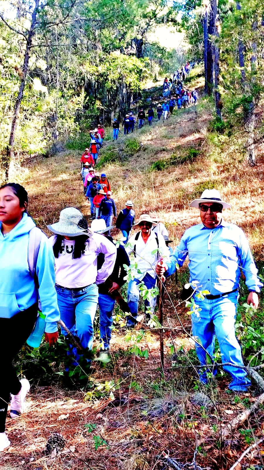
Small neighbourhoods and settlements surround it: Barrio Dolores (Primera Sección), Yosomaño, the Segunda Sección, Barrio San Miguel, Santa Cruz Tayata (about 1.5 km away, a separate municipality) and Cuauhtémoc, about 4 km east. San Juan Achiutla is about 5 km south. In April 2025 the communities of Tayata and Achiutla held a joint tequio to maintain the track that marks the boundary between their municipalities. The peaks around are Yucuquise (2,613 m), Yucuxito (2,566 m) and La Virgen (2,505 m). The rainy season runs from April to October; frosts come from December to February.
How to get to Santa Catarina Tayata
Drive from Huajuapan de León: 1 h 55 min, 93 km
The starting point is San Pedro y San Pablo Teposcolula, about 120 km from Oaxaca city (roughly 1.5 hours by car). From Teposcolula to Santa Catarina Tayata it is about 28 km and some 30 minutes, approx.; part of it is local roads, some unpaved. Tlaxiaco lies southwest of the municipality and also works as a base.
We found no bus or colectivo timetable direct to Tayata. Buses run from Oaxaca city to Teposcolula and Tlaxiaco, but operators for this leg are not confirmed; in Teposcolula, moto-taxis and local taxis cover the last kilometres. There are no hotels in the village: the closest are in Teposcolula and Tlaxiaco. Most homes have mobile phones.
Directions to Santa Catarina Tayata on Google Maps
Distances are in a straight line; the road is usually longer.
Links open a partner site. We may earn a commission if you book, at no cost to you.
From the nearest cities to Santa Catarina Tayata
- Huajuapan de León · 93 km by road, 1 h 55 min
- Tlapa · about 145 km by road, ~2 h 5 min
- Oaxaca · 150 km by road, 2 h 20 min
Drive times by road from OpenStreetMap, without traffic or stops. Times marked ~ are estimated from the straight-line distance.
Before you go to Santa Catarina Tayata: hours, prices and tips
- What to bring
- Warm layers: frosts are usual from December to February and the village is at about 2,100 m. ecured · checked Oct 2026
Hours and prices change, especially around holidays. Each fact links to where we checked it.
Visiting Santa Catarina Tayata: what to see and do
Walk through the village and ask for the church of Santa Catalina.
Visit Barrio Dolores and Barrio San Miguel, a few minutes on foot.
Follow the track to Santa Cruz Tayata, 1.5 km away.
Climb toward Cerro Yucuquise (2,613 m) with someone from the village.
Visit Teposcolula, the nearest historic centre.
Plan your trip
Places to stay in Santa Catarina Tayata
Compare hotels, posadas, and rentals in and around Santa Catarina Tayata.
Tours & activities
Day trips around Teposcolula sometimes stop in Santa Catarina Tayata; a tour is the easy way to see it without a car.
Rental cars
Pick up a car at OAX (Oaxaca): about 1 h 45 min by road to Teposcolula, then 20 km more to Santa Catarina Tayata, on your own schedule.
Flights
The nearest airport with scheduled flights is Oaxaca (OAX), about 1 h 45 min by road from Teposcolula, the base for Santa Catarina Tayata.
Mobile data
Signal can drop away from Teposcolula: download a map of the way to Santa Catarina Tayata before you set out, or carry an eSIM with data.
Links open a partner site. We may earn a commission if you book, at no cost to you.
When to go to Santa Catarina Tayata cool
Santa Catarina Tayata shares the climate of Teposcolula, 20 km away. The best months to visit are January, February, March, and December.
See the month-by-month climate of Teposcolula
Weather in Santa Catarina Tayata now and the next 7 days
Live forecast from Open-Meteo. Chance of rain is the day's highest.
The closest Pueblo Mágico: Teposcolula

Teposcolula is the Pueblo Mágico closest to Santa Catarina Tayata, with places to stay, food, and more to see.
Closest to Santa Catarina Tayata
-
Santa Cruz Tayata · Town · 2 km away
-
San Juan Achiutla · Village · 5 km away
-
Huamelulpan · Archaeological site · 7 km away
-
San Martín Huamelulpan · Village · 7 km away
-
San Miguel Achiutla · Landmark · 9 km away
-
Santiago Yolomécatl · Town · 14 km away
-
Tlaxiaco · Town · 15 km away
-
Monte Negro, Tilantongo · Archaeological site · 24 km away


Near Santa Catarina Tayata





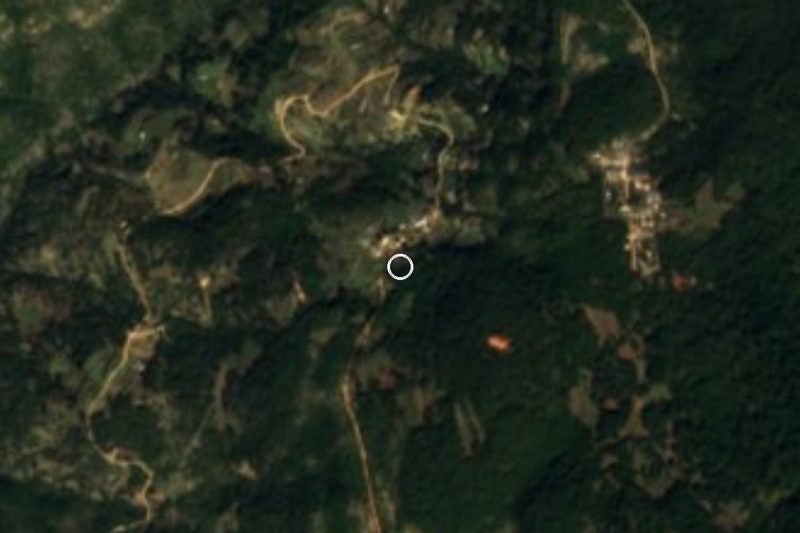

Drive times by road from OpenStreetMap, without traffic. Times marked ~ are estimated from the straight-line distance.
Location from OpenStreetMap. Written by Puebloteca.