


Town Tlaxiaco, Oaxaca Mixteca of Oaxaca
The commercial hub of the Mixteca Alta, with a big Saturday market where Mixtec villages come to trade, and a large Dominican church.
From Huajuapan de León: 1 h 50 min by car (106 km by road) How to get there ↓
Near here
See everything nearby ↓



Plan your visit to Tlaxiaco
Where to stay near Tlaxiaco
Cabañas La Lobera Motel · 2.1 km from the center PricesTours to Tlaxiaco
Day trips around Teposcolula sometimes stop in Tlaxiaco; a tour is the easy way to see it without a car.
How to get to Tlaxiaco
- From Huajuapan de León: about 1 h 50 min by road (~106 km)
- 33 km southwest of Teposcolula
- Nearest airport: Oaxaca (OAX), 1 h 45 min by car to Teposcolula
Links open a partner site. We may earn a commission if you book, at no cost to you.
About Tlaxiaco
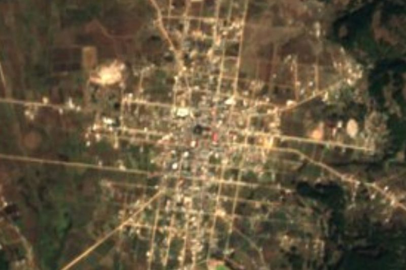
Heroica Ciudad de Tlaxiaco is the commercial center of the Mixteca Alta and the seat of a district that reaches from the highlands toward the Pacific. Its Mixtec name is usually translated as "good view," and its Nahuatl name refers to rain falling on a ball court, the glyph by which it appears in the Codex Mendoza. The title Heroica comes from a battle fought here against the French in the 1860s.
Late in the 19th century, local merchants traveled to the Paris Exposition of 1888 and came back with European fashions and tastes, and Tlaxiaco has been nicknamed "Paris chiquito" ever since. You can still see it in the four-faced clock tower and the old mansions around the center. Above the town stands the large Dominican church of Santa María de la Asunción, built over the 16th and 17th centuries.
The best day to come is Saturday, when the weekly market draws people from villages all over the Mixteca to buy and sell produce, palm baskets, pottery and much more. It is a working market, crowded and colorful. Local food to look for includes yellow mole empanadas, tasajo and sweet breads.
How to get to Tlaxiaco
Drive from Huajuapan de León: 1 h 50 min, 106 km
Tlaxiaco is about 45 minutes south of Teposcolula on Highway 125, passing San Martín Huamelulpan on the way. Buses and vans run regularly between the two towns. On Saturdays, arrive early, since the market starts in the morning and traffic in the center gets heavy.
33 km southwest of Teposcolula
Directions from Teposcolula on Google Maps
Distances are in a straight line; the road is usually longer.
Links open a partner site. We may earn a commission if you book, at no cost to you.
From the nearest cities to Tlaxiaco
- Huajuapan de León · 106 km by road, 1 h 50 min
- Tlapa · about 130 km by road, ~1 h 55 min
- Oaxaca · 163 km by road, 2 h 15 min
Drive times by road from OpenStreetMap, without traffic or stops. Times marked ~ are estimated from the straight-line distance.
Before you go to Tlaxiaco: hours, prices and tips
- Best time of day
- Come on a Saturday, the traditional market day, when vendors fill the town centre. NVI Noticias · checked Oct 2026
- Best season
- August brings the Expo Feria Artesanal y Cultural, Tlaxiaco's crafts and culture fair, with music, lights and colour in town. Oaxaca state tourism (oaxaca.travel) · checked Oct 2026
Hours and prices change, especially around holidays. Each fact links to where we checked it.
Visiting Tlaxiaco: what to see and do
Come on a Saturday for the weekly market, where Mixtec villages trade.
Visit the Dominican church of Santa María de la Asunción.
See the four-faced clock tower and the old mansions of the center.
Try yellow mole empanadas and other Mixtec dishes.
Plan your trip
Places to stay in Tlaxiaco
Cabañas La Lobera Motel · 2.1 km from the center Find on ExpediaTours & activities
Day trips around Teposcolula sometimes stop in Tlaxiaco; a tour is the easy way to see it without a car.
Rental cars
Pick up a car at OAX (Oaxaca): about 1 h 45 min by road to Teposcolula, then 33 km more to Tlaxiaco, on your own schedule.
Flights
The nearest airport with scheduled flights is Oaxaca (OAX), about 1 h 45 min by road from Teposcolula, the base for Tlaxiaco.
Mobile data
Signal can drop away from Teposcolula: download a map of the way to Tlaxiaco before you set out, or carry an eSIM with data.
Links open a partner site. We may earn a commission if you book, at no cost to you. Hotel names from OpenStreetMap.
Photos
When to go to Tlaxiaco cool
Tlaxiaco shares the climate of Teposcolula, 33 km away. The best months to visit are January, February, March, and December.
See the month-by-month climate of Teposcolula
Weather in Tlaxiaco now and the next 7 days
Live forecast from Open-Meteo. Chance of rain is the day's highest.
Make Teposcolula your base

Tlaxiaco is an easy trip from Teposcolula, a Pueblo Mágico with places to stay, food, and more to see.
Closest to Tlaxiaco
-
Santa Catarina Tayata · Town · 15 km away · Oaxaca
-
Santa Cruz Tayata · Town · 15 km away · Oaxaca
-
Santo Tomás Ocotepec · Town · 16 km away · Oaxaca
-
Huamelulpan · Archaeological site · 17 km away
-
San Juan Mixtepec Distrito 08 · Town · 17 km away · Oaxaca
-
San Martín Huamelulpan · Village · 17 km away · Oaxaca
-
San Juan Achiutla · Village · 20 km away · Oaxaca
-
San Miguel Achiutla · Landmark · 20 km away


Near Tlaxiaco





Drive times by road from OpenStreetMap, without traffic. Times marked ~ are estimated from the straight-line distance.
Something wrong or missing on this page? Suggest a fix or addition
Location from OpenStreetMap. Written by Puebloteca.