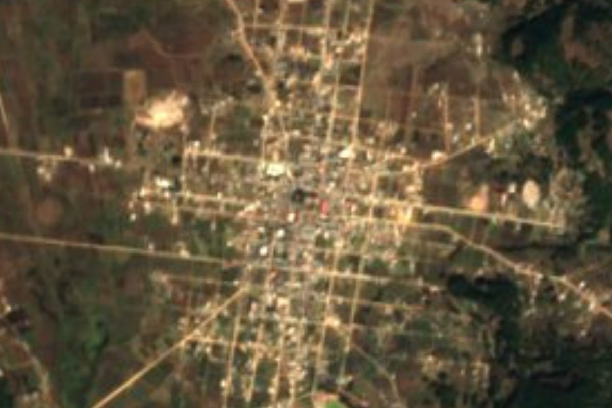
Town Chalcatongo de Hidalgo, Oaxaca Mixteca of Oaxaca
Mixtec town at 2,450 m in the Mixteca Alta, with cold dry weather and pine-oak hills; its Mixtec name Ñuundaya means 'place of the underworld'.
From Tlapa: about 2 h 20 min by road (~155 km) How to get there ↓
Near here
See everything nearby ↓


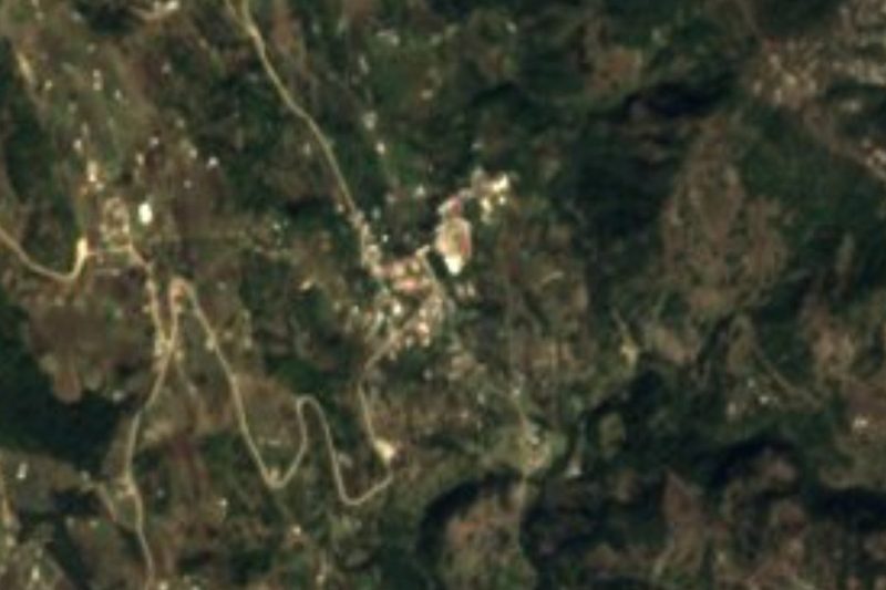
Plan your visit to Chalcatongo de Hidalgo
Where to stay near Chalcatongo de Hidalgo
Compare hotels, posadas and guest houses in Chalcatongo de Hidalgo.
Tours to Chalcatongo de Hidalgo
Day trips around Teposcolula sometimes stop in Chalcatongo de Hidalgo; a tour is the easy way to see it without a car.
How to get to Chalcatongo de Hidalgo
- From Tlapa: about 2 h 20 min by road (~155 km)
- Nearest airport: Oaxaca (OAX), 1 h 45 min by car to Teposcolula
Links open a partner site. We may earn a commission if you book, at no cost to you.
About Chalcatongo de Hidalgo
Mixtec speakers call this place Ñuundaya, glossed as "place of the underworld", and also Xinivi or Ñuu Ndeyá. It sits at about 2,450 m in the foothills of the Sierra Madre del Sur, in the Tlaxiaco district. As a settlement it was founded in 1773. The 2020 census counted 2,737 people in the town; the 111 km² municipality holds 9,035 people in 27 localities, the largest after the centre being Progreso (1,239) and Chapultepec (636).
The municipal name is translated from Mixtec as "town that abounds". The land is mountainous, from 1,300 to 3,000 m (average about 2,556 m), with named peaks: Yuku Sutu, Yuku Kuan, Yuku Iñu and Yuku Chayu. The climate is cold and dry. Pine, oak, ash and fruit trees such as peach, pear and apple grow here, and the hills hold hawks, swallows, opossums and deer. The Ciénega area has several wells, the largest of them, Minija'a, supplying the town centre.
The place also appears in the ancient history of the Mixteca: the Codex Bodley, a Mixtec manuscript, records rulers of Chalcatongo. Today it is a seat in the Mixteca Alta, about 243 km by road from Oaxaca city. Former governor Ulises Ruiz Ortiz was born here.
How to get to Chalcatongo de Hidalgo
Chalcatongo de Hidalgo is about 243 km by road from Oaxaca city and about 59 km from Tlaxiaco, the district seat (Wikipedia). Rome2Rio suggests, from Mexico City, taking a bus from TAPO to Asunción Nochixtlán, another from there to Tlaxiaco and finishing with a taxi to Chalcatongo; it estimates about 9 hours in all. From Oaxaca city you go through the Mixteca, past Nochixtlán and Tlaxiaco, and the last stretch is through the sierra. Teposcolula is about 54 km away in a straight line. We found no published bus line that runs direct, so confirm at the Tlaxiaco terminal.
Directions to Chalcatongo de Hidalgo on Google Maps
Distances are in a straight line; the road is usually longer.
Links open a partner site. We may earn a commission if you book, at no cost to you.
From the nearest cities to Chalcatongo de Hidalgo
- Tlapa · about 155 km by road, ~2 h 20 min
- Huajuapan de León · 155 km by road, 2 h 45 min
- Oaxaca · 212 km by road, 3 h 10 min
Drive times by road from OpenStreetMap, without traffic or stops. Times marked ~ are estimated from the straight-line distance.
Visiting Chalcatongo de Hidalgo: what to see and do
Walk the town centre at 2,450 m.
Look for Yuku Sutu, Yuku Kuan and Yuku Iñu peaks from the village.
Hike through the municipality's pine and oak woods.
Ask about the Ciénega area and the Minija'a well.
Try pulque in a jícara if it is offered at the market.
Plan your trip
Places to stay in Chalcatongo de Hidalgo
Compare hotels, posadas, and rentals in and around Chalcatongo de Hidalgo.
Tours & activities
Day trips around Teposcolula sometimes stop in Chalcatongo de Hidalgo; a tour is the easy way to see it without a car.
Rental cars
Pick up a car at OAX (Oaxaca): about 1 h 45 min by road to Teposcolula, then 54 km more to Chalcatongo de Hidalgo, on your own schedule.
Flights
The nearest airport with scheduled flights is Oaxaca (OAX), about 1 h 45 min by road from Teposcolula, the base for Chalcatongo de Hidalgo.
Mobile data
Signal can drop away from Teposcolula: download a map of the way to Chalcatongo de Hidalgo before you set out, or carry an eSIM with data.
Links open a partner site. We may earn a commission if you book, at no cost to you.
When to go to Chalcatongo de Hidalgo cool
Chalcatongo de Hidalgo shares the climate of Teposcolula, 54 km away. The best months to visit are January, February, March, and December.
See the month-by-month climate of Teposcolula
Weather in Chalcatongo de Hidalgo now and the next 7 days
Live forecast from Open-Meteo. Chance of rain is the day's highest.
The closest Pueblo Mágico: Teposcolula

Teposcolula is the Pueblo Mágico closest to Chalcatongo de Hidalgo, with places to stay, food, and more to see.
Closest to Chalcatongo de Hidalgo
-
Santa Catarina Ticuá · Town · 6 km away
-
Atalaya · Village · 9 km away
-
San Esteban Atatlahuca · Town · 12 km away
-
San Miguel Ixcatlán · Town · 17 km away
-
Santiago Yosondúa · Town · 18 km away
-
Santo Tomás Ocotepec · Town · 24 km away
-
Tlaxiaco · Town · 28 km away
-
Yutanduchi de Guerrero · Town · 29 km away


Near Chalcatongo de Hidalgo


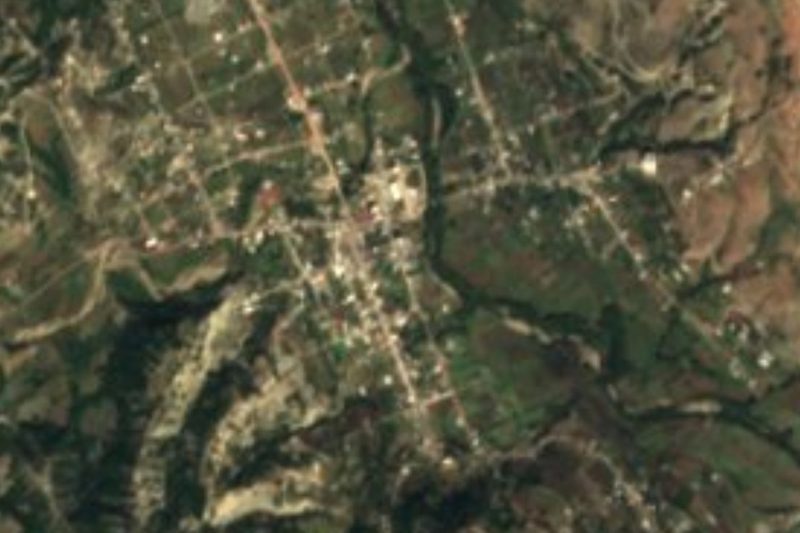


Drive times by road from OpenStreetMap, without traffic. Times marked ~ are estimated from the straight-line distance.
Location from OpenStreetMap. Written by Puebloteca.