

Town Santiago Yosondúa, Oaxaca Municipality of Santiago Yosondúa Central Valleys of Oaxaca
Mixtec hamlet of 171 people at 1,674 m, 8 km from Santiago Yosondúa, set among green ravines of the sierra.
From Tlapa: about 2 h 35 min by road (~175 km) How to get there ↓
Near here
See everything nearby ↓

Plan your visit to San Miguel Ixcatlán
Where to stay near San Miguel Ixcatlán
Compare hotels, posadas and guest houses in San Miguel Ixcatlán.
Tours to San Miguel Ixcatlán
Day trips around Teposcolula sometimes stop in San Miguel Ixcatlán; a tour is the easy way to see it without a car.
 Tours from Oaxaca City
Hierve el Agua 2.5 hours, Mitla, Tule, Rugs and Mezcal for a Day
★ 4.9 (1,558) · From US$70
How to get to San Miguel Ixcatlán
- From Tlapa: about 2 h 35 min by road (~175 km)
- Nearest airport: Oaxaca (OAX), 1 h 45 min by car to Teposcolula
Links open a partner site. We may earn a commission if you book, at no cost to you.
Tours from Oaxaca City, near San Miguel Ixcatlán


Tours, prices and ratings from Viator, checked weekly. We may earn a commission if you book.
About San Miguel Ixcatlán
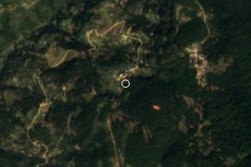
San Miguel Ixcatlán hangs on a wooded slope of the Mixteca at about 1,674 m, and belongs to the municipality of Santiago Yosondúa in the Tlaxiaco district. The municipal seat is about 8 km to the west. The 2020 census counted 171 people in 57 occupied homes, which makes it a rancheria of scattered houses rather than a village with streets and a square. Its name is of Nahuatl origin and its patron saint is San Miguel Arcángel.
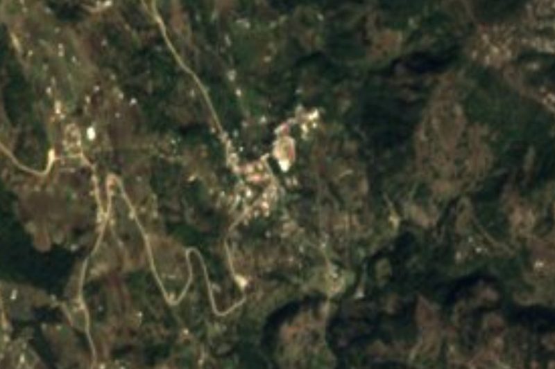
The setting is pure sierra: very steep hillsides, deep ravines and dense forest, with landslide scars visible on the slopes and a track that drops and climbs the mountain. Across this part of the Mixteca, families live mostly on corn and beans grown for their own table and on raising sheep, goats, pigs and some cattle; firewood comes from the forest. In the municipality, where piped water does not reach the houses it has to be carried in.
There are no hotels, restaurants or visitor services in the village. The practical way to visit is from Santiago Yosondúa, where the Sunday market is the largest in the micro-region and where you can eat and buy basics before going on. Ask the local authorities before walking the tracks, and remember this is a community governed by its own customs.
How to get to San Miguel Ixcatlán
San Miguel Ixcatlán is about 8 km east of Santiago Yosondúa, which lies roughly 70 km south of Tlaxiaco and 95 km southeast of Oaxaca city. From Oaxaca you go first to Tlaxiaco and from Tlaxiaco on toward Yosondúa; for the last 8 km from the municipal seat ask locally, because we found no published road condition or travel time. We found no published schedules for pickups or colectivos to the village and no named operator: ask in Yosondúa about the vehicles that go up. Given the distance, the sensible base is Tlaxiaco or Teposcolula (the latter about 80 minutes away on mountain roads, approximate).
Directions to San Miguel Ixcatlán on Google Maps
Distances are in a straight line; the road is usually longer.
Links open a partner site. We may earn a commission if you book, at no cost to you.
From the nearest cities to San Miguel Ixcatlán
- Tlapa · about 175 km by road, ~2 h 35 min
- Huajuapan de León · 190 km by road, 3 h 30 min
- Oaxaca · 196 km by road, 3 h 45 min
Drive times by road from OpenStreetMap, without traffic or stops. Times marked ~ are estimated from the straight-line distance.
Visiting San Miguel Ixcatlán: what to see and do
Look at the whole hamlet from the opposite slope: it sits between forest and ravines.
Note the landslide scars on the opposite slope, which show how steep the ground is.
Stop in Santiago Yosondúa on a Sunday for the micro-region's market.
Walk the tracks between cornfields with the local authorities' permission.
Join the fiesta of San Miguel Arcángel, the patron saint, if invited.
Plan your trip
Places to stay in San Miguel Ixcatlán
Compare hotels, posadas, and rentals in and around San Miguel Ixcatlán.
Tours & activities
Day trips around Teposcolula sometimes stop in San Miguel Ixcatlán; a tour is the easy way to see it without a car.
Rental cars
Pick up a car at OAX (Oaxaca): about 1 h 45 min by road to Teposcolula, then 68 km more to San Miguel Ixcatlán, on your own schedule.
Flights
The nearest airport with scheduled flights is Oaxaca (OAX), about 1 h 45 min by road from Teposcolula, the base for San Miguel Ixcatlán.
Mobile data
Signal can drop away from Teposcolula: download a map of the way to San Miguel Ixcatlán before you set out, or carry an eSIM with data.
Links open a partner site. We may earn a commission if you book, at no cost to you.
When to go to San Miguel Ixcatlán cool
San Miguel Ixcatlán shares the climate of Teposcolula, 68 km away. The best months to visit are January, February, March, and December.
See the month-by-month climate of Teposcolula
Weather in San Miguel Ixcatlán now and the next 7 days
Live forecast from Open-Meteo. Chance of rain is the day's highest.
The closest Pueblo Mágico: Teposcolula

Teposcolula is the Pueblo Mágico closest to San Miguel Ixcatlán, with places to stay, food, and more to see.
Also close to
- Juquila · Oaxaca · 77 km away
Closest to San Miguel Ixcatlán
-
Santiago Yosondúa · Town · 8 km away
-
Atalaya · Village · 9 km away
-
Chalcatongo de Hidalgo · Town · 17 km away
-
Santa Catarina Ticuá · Town · 20 km away
-
San Esteban Atatlahuca · Town · 26 km away
-
Yutanduchi de Guerrero · Town · 27 km away
-
Santo Tomás Ocotepec · Town · 39 km away
-
Monte Negro, Tilantongo · Archaeological site · 44 km away

Near San Miguel Ixcatlán


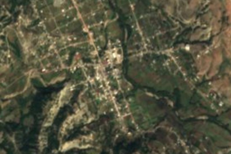
Drive times by road from OpenStreetMap, without traffic. Times marked ~ are estimated from the straight-line distance.
Location from OpenStreetMap. Written by Puebloteca.