


Town Santa Inés de Zaragoza, Oaxaca Mixteca of Oaxaca
Mixtec municipal seat at 1,743 m in the Nochixtlán district; 237 people in 2020 and fiestas on January 21 and 22.
From Oaxaca: 1 h 25 min by car (86 km by road) How to get there ↓
Near here
See everything nearby ↓



Plan your visit to Santa Inés de Zaragoza
Where to stay near Santa Inés de Zaragoza
Compare hotels, posadas and guest houses in Santa Inés de Zaragoza.
Tours to Santa Inés de Zaragoza
Day trips around Teposcolula sometimes stop in Santa Inés de Zaragoza; a tour is the easy way to see it without a car.
How to get to Santa Inés de Zaragoza
- From Oaxaca: about 1 h 25 min by road (~86 km)
- Nearest airport: Oaxaca (OAX), 1 h 45 min by car to Teposcolula
Links open a partner site. We may earn a commission if you book, at no cost to you.
About Santa Inés de Zaragoza
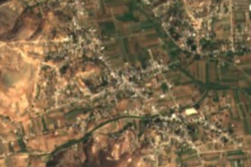
Santa Inés de Zaragoza is the seat of the municipality of the same name, in the Nochixtlán district of the Mixteca Alta. The village stands at about 1,743 m among hills that are green in summer, and is the second-largest of the municipality's 33 localities. The 2020 census counted 237 people, down from a peak of 1,409 in 1950; there were 1,048 in 1900 and only 142 in 1990, and numbers have recovered slowly since.
The founding year usually given is 1600. Saint Agnes is the patron saint, which gives the village its name, and "de Zaragoza" honours General Ignacio Zaragoza, who fought the French intervention. The traditional fiestas are on January 21 and 22. The village has a blue municipal palace with a small bell tower and a paved esplanade, beside the barrio of San Sebastián, less than 300 m away.
The nearest neighbours are Santo Domingo Nuxaá (about 4 km south) and Yucuxina (about 5 km northeast). Hills in view include Halcón (2,172 m), Monteyerba (2,230 m) and Santa Catarina Yucuniñe (2,072 m). The climate is mild, averaging about 18 °C with around 900 mm of rain a year. About a quarter of residents speak an indigenous language. There is no lodging in the village; the nearest hotels are some 35 to 40 km to the north.
How to get to Santa Inés de Zaragoza
Drive from Oaxaca: 1 h 25 min, 86 km
The village is about 95 km from Oaxaca city by road (roughly 2 hours), in the northwest of the state, toward Nochixtlán. The usual approach is the Mixteca highway to Asunción Nochixtlán and then local roads to Santa Inés; exact routes and road condition are not confirmed, so ask in Nochixtlán before setting out and carry an offline map.
We found no bus or colectivo timetable direct to Santa Inés de Zaragoza. Buses run from Oaxaca city to Nochixtlán; operators for the last stretch are not confirmed. There is no lodging in the village: the nearest hotels and motels are about 34 to 42 km north. Nearly three in four homes have a mobile phone.
Directions to Santa Inés de Zaragoza on Google Maps
Distances are in a straight line; the road is usually longer.
Links open a partner site. We may earn a commission if you book, at no cost to you.
From the nearest cities to Santa Inés de Zaragoza
- Oaxaca · 86 km by road, 1 h 25 min
- Huajuapan de León · 123 km by road, 2 h 5 min
- Tehuacán · 166 km by road, 2 h 10 min
Drive times by road from OpenStreetMap, without traffic or stops. Times marked ~ are estimated from the straight-line distance.
Before you go to Santa Inés de Zaragoza: hours, prices and tips
- Best season
- Traditional fiestas are held on January 21 and 22. ecured · checked Oct 2026
Hours and prices change, especially around holidays. Each fact links to where we checked it.
Visiting Santa Inés de Zaragoza: what to see and do
See the blue municipal palace and the paved esplanade.
Walk to the barrio of San Sebastián, less than 300 m away.
Come for the fiestas on January 21 and 22.
Take in the hill scenery from the edge of the village.
Drive or walk to Santo Domingo Nuxaá, about 4 km south.
Plan your trip
Places to stay in Santa Inés de Zaragoza
Compare hotels, posadas, and rentals in and around Santa Inés de Zaragoza.
Tours & activities
Day trips around Teposcolula sometimes stop in Santa Inés de Zaragoza; a tour is the easy way to see it without a car.
Rental cars
Pick up a car at OAX (Oaxaca): about 1 h 45 min by road to Teposcolula, then 48 km more to Santa Inés de Zaragoza, on your own schedule.
Flights
The nearest airport with scheduled flights is Oaxaca (OAX), about 1 h 45 min by road from Teposcolula, the base for Santa Inés de Zaragoza.
Mobile data
Signal can drop away from Teposcolula: download a map of the way to Santa Inés de Zaragoza before you set out, or carry an eSIM with data.
Links open a partner site. We may earn a commission if you book, at no cost to you.
Photos
When to go to Santa Inés de Zaragoza cool
Santa Inés de Zaragoza shares the climate of Teposcolula, 48 km away. The best months to visit are January, February, March, and December.
See the month-by-month climate of Teposcolula
Weather in Santa Inés de Zaragoza now and the next 7 days
Live forecast from Open-Meteo. Chance of rain is the day's highest.
The closest Pueblo Mágico: Teposcolula

Teposcolula is the Pueblo Mágico closest to Santa Inés de Zaragoza, with places to stay, food, and more to see.
Also close to
- Capulálpam de Méndez · Oaxaca · 76 km away
Closest to Santa Inés de Zaragoza
-
Monte Negro, Tilantongo · Archaeological site · 21 km away
-
San Sebastián Sedas · Town · 26 km away
-
Yutanduchi de Guerrero · Town · 26 km away
-
San Pablo Huitzo · Town · 30 km away
-
Santiago Suchilquitongo · Town · 30 km away
-
San Andrés Zautla · Town · 32 km away
-
Yucuita · Archaeological site · 32 km away
-
San Miguel Achiutla · Landmark · 36 km away


Near Santa Inés de Zaragoza


Drive times by road from OpenStreetMap, without traffic. Times marked ~ are estimated from the straight-line distance.
Location from OpenStreetMap. Written by Puebloteca.