Town Soledad Etla, Oaxaca Central Valleys of Oaxaca
Municipal seat in the Etla valley at 1,590 m, with an 1721 church, about 19 km from Oaxaca city and frequent shared transport.
From Oaxaca: 20 min by car (18 km by road) How to get there ↓
Near here


Plan your visit to Soledad Etla
Where to stay near Soledad Etla
Compare hotels, posadas and guest houses in Soledad Etla.
Tours to Soledad Etla
Day trips around Capulálpam de Méndez sometimes stop in Soledad Etla; a tour is the easy way to see it without a car.
 Tours from Oaxaca City
Hierve el Agua 2.5 hours, Mitla, Tule, Rugs and Mezcal for a Day
★ 4.9 (1,558) · From US$70
How to get to Soledad Etla
- From Oaxaca: about 20 min by road (~18 km)
- Nearest airport: Oaxaca (OAX), 1 h 27 min by car to Capulálpam de Méndez
Links open a partner site. We may earn a commission if you book, at no cost to you.
Tours from Oaxaca City, near Soledad Etla


Tours, prices and ratings from Viator, checked weekly. We may earn a commission if you book.
About Soledad Etla
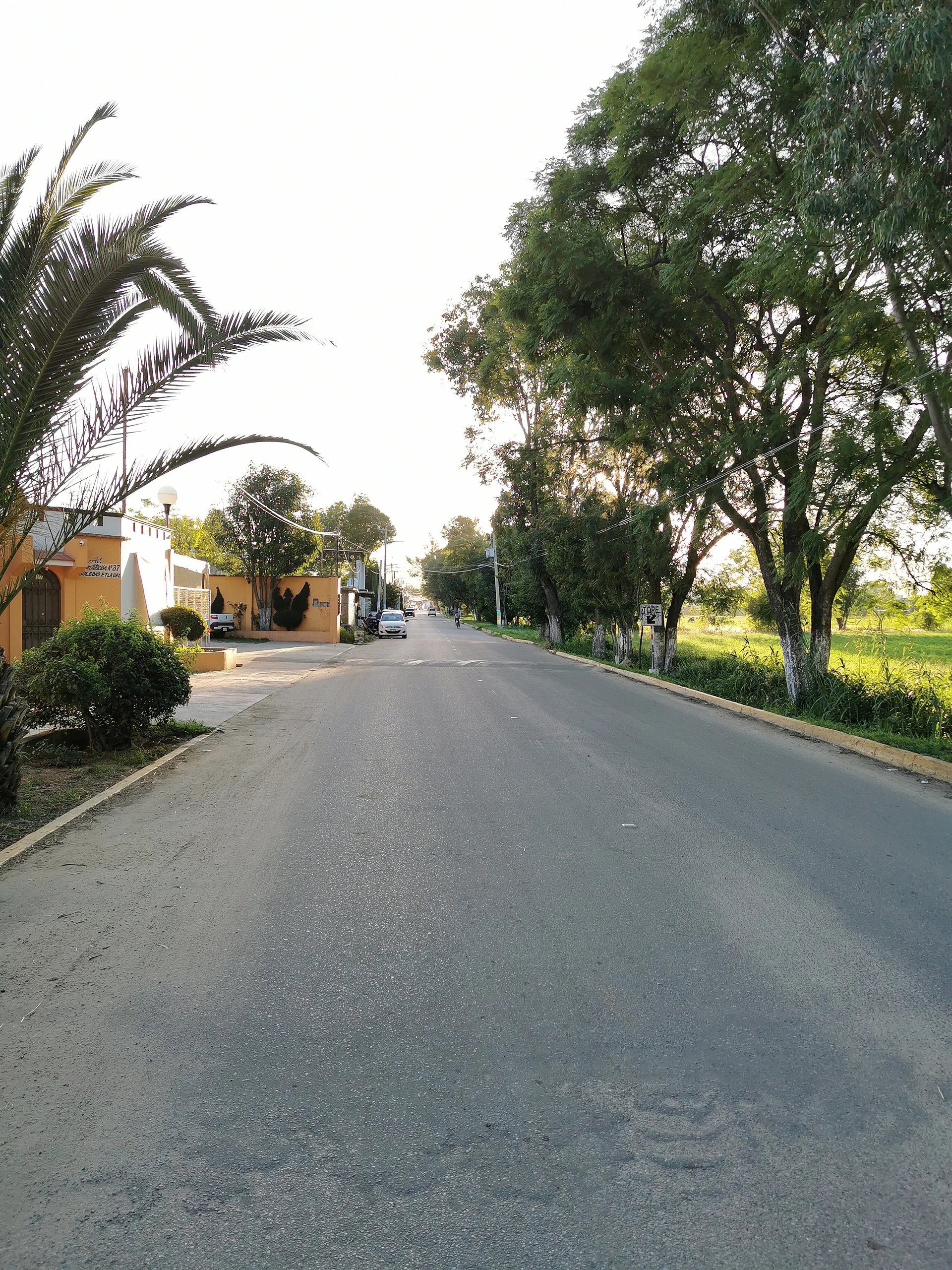
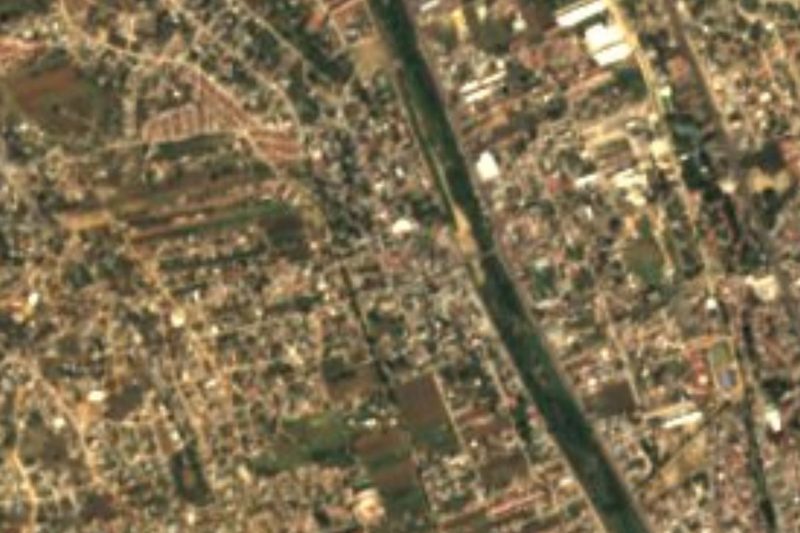
Soledad Etla lies on the floor of the Etla valley, the northern arm of the Central Valleys, at about 1,590 m. Its name joins the patron, Our Lady of Solitude (Nuestra Señora de la Soledad), with Etla, a Nahuatl word read as "where beans abound". It is the largest locality of the municipality of the same name and one of the valley towns still growing fast: 693 people in 1900, 1,173 in 1950, 2,083 in 1990 and 4,179 in 2020.
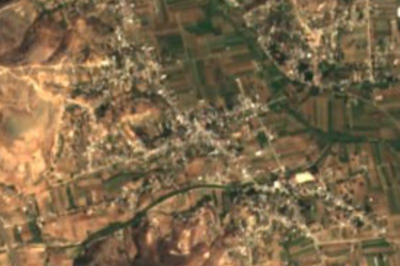
The documented history is administrative. The Catholic church went up in 1721; between 1825 and 1844 the place depended on the parish and district of Villa de Etla; by 1858 it is registered as Soledad Etla; the municipal house dates from 1876 and in 1891 it received its own town council. Today it barely stands apart from the urban sprawl of Etla: Nazareno Etla, Guadalupe Etla, Matadamas and La Estanzuela are all within about 1.5 km, and hills such as Cerro Jalapa (1,947 m) and El Catrín ring the valley.
The climate is mild, about 19 °C a year with summer rains, and most homes have electricity, piped water and a mobile phone. It is not a town of famous monuments: you come for the church, for everyday life in a valley town, and as a base for the archaeological sites and markets of Etla.
How to get to Soledad Etla
Drive from Oaxaca: 20 min, 18 km
From Oaxaca city it is about 18 to 19 km (approx. 20 minutes by car) along the Etla corridor, north of the city. By public transport, Choferes del Sur runs from Oaxaca (boulevard Eduardo Mata) to the Etla area; the information available points to departures about every 10 minutes, daily, and a ride of about 20 minutes. We found no official published timetable, so confirm at the stop. A taxi from central Oaxaca takes about the same time.
To get around the valley towns, Nazareno Etla and Guadalupe Etla are a little over 1 km away and San José Mogote about 2 km: doable on foot or by a short colectivo hop. The road is paved and there is mobile signal throughout town.
Directions to Soledad Etla on Google Maps
Distances are in a straight line; the road is usually longer.
Links open a partner site. We may earn a commission if you book, at no cost to you.
From the nearest cities to Soledad Etla
- Oaxaca · 18 km by road, 20 min
- Huajuapan de León · 152 km by road, 2 h 10 min
- Tehuacán · 195 km by road, 2 h 20 min
Drive times by road from OpenStreetMap, without traffic or stops. Times marked ~ are estimated from the straight-line distance.
What to see in Soledad Etla 1
Sights with their own page, closest to the centre first.
-
San José Mogote · Archaeological site · 2 km from the centre
The Etla valley's first large Zapotec village, older than Monte Albán, with a restored mound and a small community museum.
Map of Soledad Etla
Neighbourhoods and villages of Soledad Etla
Part of Soledad Etla or just outside it, closest first.
-
Reyes Etla · Town · 4 km from the centre
Seat of a small Etla valley municipality at 1,635 m, 18 km from Oaxaca, beside the Señor de las Peñas sanctuary and its fifth-Friday-of-Lent pilgrimage. -
Santiago Etla · Town · 4 km from the centre
Municipal agency of San Lorenzo Cacaotepec at 1,596 m, a short drive from Oaxaca city, with a Friday market and a July fair for Santiago.
Day trips and tours from Soledad Etla
The closest Pueblos Mágicos and places to visit, with the drive from Soledad Etla and tours that leave from it.


Times marked ~ are estimated from the distance. Links open a partner site. We may earn a commission if you book, at no cost to you.
Before you go: getting to and around Soledad Etla
- The nearest airport is Oaxaca (OAX).
- The best months to go are January, February, March, and December.
- 2 of the places on this page are more than 3 km from the centre: take a taxi, a ride-hailing app or a local bus.
- For day trips a rental car gives the most freedom; the tours above leave from Soledad Etla.
Visiting Soledad Etla: what to see and do
Step into the 1721 church and look at its facade on the plaza.
Walk the town streets and the road to Nazareno and Guadalupe Etla.
Head toward Cerro Jalapa and El Catrín for views of the valley.
Pair the visit with San José Mogote, about 2 km away, which has its own page.
Plan your trip
Places to stay in Soledad Etla
Compare hotels, posadas, and rentals in and around Soledad Etla.
Tours & activities
Day trips around Capulálpam de Méndez sometimes stop in Soledad Etla; a tour is the easy way to see it without a car.
Rental cars
Pick up a car at OAX (Oaxaca): about 1 h 27 min by road to Capulálpam de Méndez, then 42 km more to Soledad Etla, on your own schedule.
Flights
The nearest airport with scheduled flights is Oaxaca (OAX), about 1 h 27 min by road from Capulálpam de Méndez, the base for Soledad Etla.
Mobile data
Signal can drop away from Capulálpam de Méndez: download a map of the way to Soledad Etla before you set out, or carry an eSIM with data.
Links open a partner site. We may earn a commission if you book, at no cost to you.
When to go to Soledad Etla cool
Soledad Etla shares the climate of Capulálpam de Méndez, 42 km away. The best months to visit are January, February, March, and December.
See the month-by-month climate of Capulálpam de Méndez
Weather in Soledad Etla now and the next 7 days
Live forecast from Open-Meteo. Chance of rain is the day's highest.
The closest Pueblo Mágico: Capulálpam de Méndez

Capulálpam de Méndez is the Pueblo Mágico closest to Soledad Etla, with places to stay, food, and more to see.
Also close to
- Mitla · Oaxaca · 56 km away
Near Soledad Etla




Drive times by road from OpenStreetMap, without traffic. Times marked ~ are estimated from the straight-line distance.
Location from OpenStreetMap. Written by Puebloteca.