Town Oaxaca de Juárez, Oaxaca Municipality of Oaxaca de Juárez Sierra Norte of Oaxaca
Locality in Oaxaca de Juárez at 1,622 m, north of the capital; it grew from 260 people in 1900 to 8,506 in 2020.
From Oaxaca: 15 min by car (11 km by road) How to get there ↓
Near here



Plan your visit to Viguera
Where to stay near Viguera
Compare hotels, posadas and guest houses in Viguera.
Tours to Viguera
Day trips around Capulálpam de Méndez sometimes stop in Viguera; a tour is the easy way to see it without a car.
How to get to Viguera
- From Oaxaca: about 15 min by road (~11 km)
- Nearest airport: Oaxaca (OAX), 1 h 27 min by car to Capulálpam de Méndez
Links open a partner site. We may earn a commission if you book, at no cost to you.
About Viguera
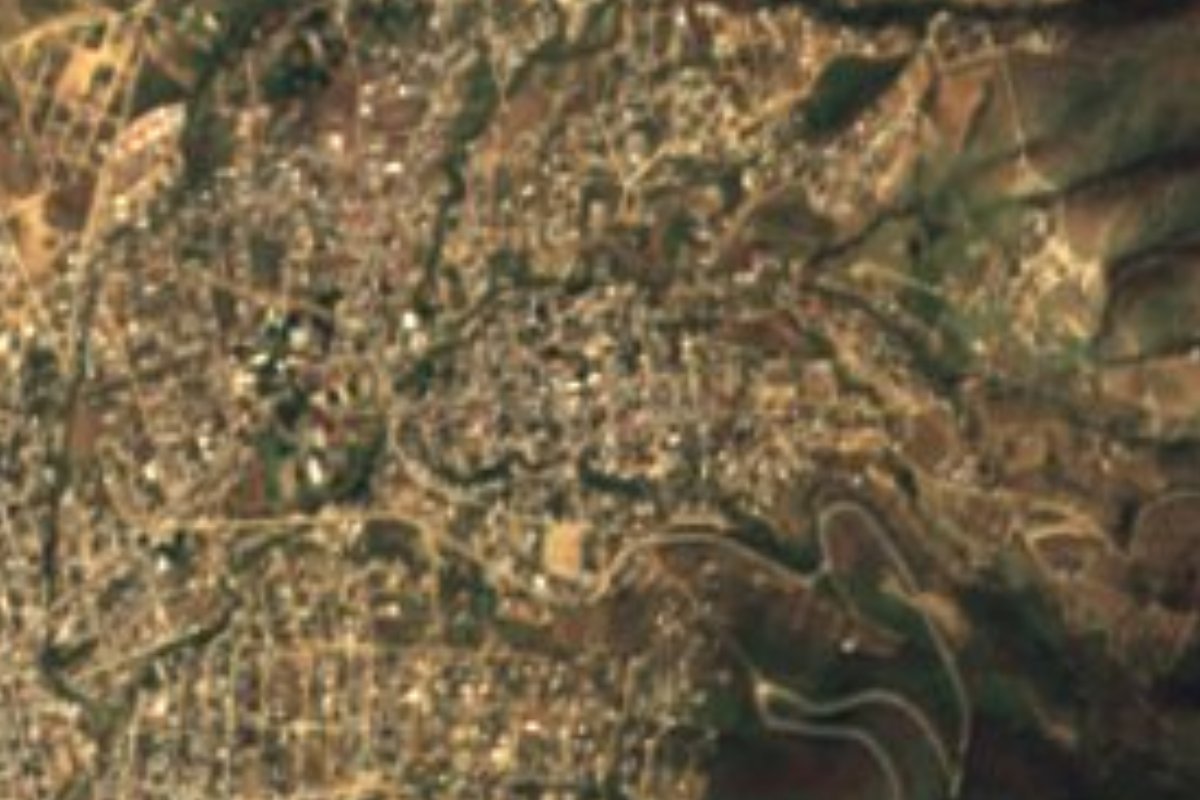
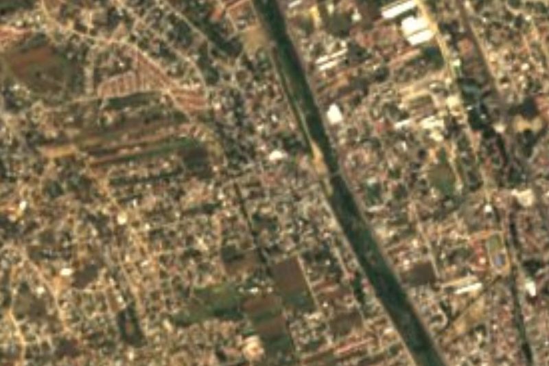
Viguera belongs to the municipality of Oaxaca de Juárez and sits at about 1,622 m, north of the capital, on the lower slopes that rise toward the Sierra Norte. Today it is mostly a large colonia of the urban sprawl, but its census record shows how the city grew: in 1900 the locality had 260 people, in 1930 there were 294 and in 1960 only 427.
The jump came later. In 1970 there were 613 people, by 1990 it had 1,167 and in 2000 it counted 2,669. The 2010 census recorded 4,608 and the 2020 census 8,506, more than thirty times the 1900 population. Most of that growth happened in the last three decades, as families from the Central Valleys began to settle the slopes north of the city.
It is not a tourist stop with monuments of its own, and Wikipedia lists no festivals or sights. Its interest for a traveller is practical: it lies about 8 km in a straight line from central Oaxaca (the draft estimates 10 minutes), on the way toward Sierra Norte villages such as Capulálpam de Méndez. Anyone staying on the north side of the city or heading into the Sierra Norte passes close by. INEGI lists it under locality code 200670051.
How to get to Viguera
Drive from Oaxaca: 15 min, 11 km
Viguera lies inside the municipality of Oaxaca de Juárez, about 8 km in a straight line from the centre (the draft estimates 10 minutes by car; through city streets allow roughly 20 to 30 minutes depending on traffic). Reach it by car or taxi from central Oaxaca, leaving by the north side of the city; if you are going by bus, ask in the centre about the urban and suburban routes that climb toward the area, as we found no published timetable. To continue into the Sierra Norte, Capulálpam de Méndez is about 37 km in a straight line (roughly 45 minutes by the draft's estimate, more on the mountain road). Oaxaca's first-class bus terminal is on Calzada Niños Héroes de Chapultepec (Wikivoyage).
Directions to Viguera on Google Maps
Distances are in a straight line; the road is usually longer.
Links open a partner site. We may earn a commission if you book, at no cost to you.
From the nearest cities to Viguera
- Oaxaca · 11 km by road, 15 min
- Huajuapan de León · 164 km by road, 2 h 15 min
- Tuxtepec · about 165 km by road, ~2 h 25 min
Drive times by road from OpenStreetMap, without traffic or stops. Times marked ~ are estimated from the straight-line distance.
Map of Viguera
Neighbourhoods and villages of Viguera
Part of Viguera or just outside it, closest first.
-
San Pablo Etla · Town · 2 km from the centre
Town in the Etla valley a few minutes from Oaxaca city, founded in 1686 and now home to over 4,000 people. -
San Jacinto Amilpas · Town · 4 km from the centre
Urban municipality hugging Oaxaca City at 1,600 m, from 861 people in 1940 to nearly 17,000 now. Church of 1800 and a fiesta on 17 August. -
Santa María Atzompa · Town · 4 km from the centre
A potters' town 5 km northwest of Oaxaca, famous for jade-green glazed cookware, with a communal crafts market and family workshops.
Day trips and tours from Viguera
The closest Pueblos Mágicos and places to visit, with the drive from Viguera and tours that leave from it.


Times marked ~ are estimated from the distance. Links open a partner site. We may earn a commission if you book, at no cost to you.
Before you go: getting to and around Viguera
- The nearest airport is Oaxaca (OAX).
- The best months to go are January, February, March, and December.
- 2 of the places on this page are more than 3 km from the centre: take a taxi, a ride-hailing app or a local bus.
- For day trips a rental car gives the most freedom; the tours above leave from Viguera.
Visiting Viguera: what to see and do
See how the colonias climb the slopes north of Oaxaca.
Use it as a waypoint toward the Sierra Norte.
Combine it with Capulálpam de Méndez, about 37 km in a straight line.
Visit central Oaxaca de Juárez, about 8 km away.
Plan your trip
Places to stay in Viguera
Compare hotels, posadas, and rentals in and around Viguera.
Tours & activities
Day trips around Capulálpam de Méndez sometimes stop in Viguera; a tour is the easy way to see it without a car.
Rental cars
Pick up a car at OAX (Oaxaca): about 1 h 27 min by road to Capulálpam de Méndez, then 37 km more to Viguera, on your own schedule.
Flights
The nearest airport with scheduled flights is Oaxaca (OAX), about 1 h 27 min by road from Capulálpam de Méndez, the base for Viguera.
Mobile data
Signal can drop away from Capulálpam de Méndez: download a map of the way to Viguera before you set out, or carry an eSIM with data.
Links open a partner site. We may earn a commission if you book, at no cost to you.
When to go to Viguera cool
Viguera shares the climate of Capulálpam de Méndez, 37 km away. The best months to visit are January, February, March, and December.
See the month-by-month climate of Capulálpam de Méndez
Weather in Viguera now and the next 7 days
Live forecast from Open-Meteo. Chance of rain is the day's highest.
The closest Pueblo Mágico: Capulálpam de Méndez

Capulálpam de Méndez is the Pueblo Mágico closest to Viguera, with places to stay, food, and more to see.
Also close to
- Mitla · Oaxaca · 47 km away
Near Viguera


Drive times by road from OpenStreetMap, without traffic. Times marked ~ are estimated from the straight-line distance.
Location from OpenStreetMap. Written by Puebloteca.