

Viewpoint Oaxaca de Juárez, Oaxaca Municipality of Oaxaca de Juárez Central Valleys of Oaxaca
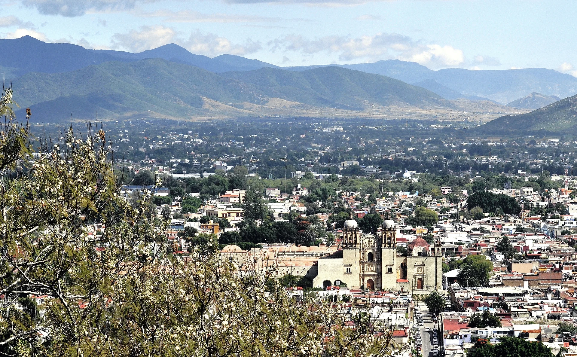
The hill over Oaxaca City: stairs up to the Guelaguetza auditorium, a Juárez statue with city views, a planetarium and forest trails.
From Huajuapan de León: 2 h 20 min by car (169 km by road) How to get there ↓
Near here
See everything nearby ↓


Plan your visit to Cerro del Fortín
Where to stay near Cerro del Fortín
Compare hotels, posadas and guest houses in Cerro del Fortín.
Tours to Cerro del Fortín
Day trips and guided outings from Capulálpam de Méndez often include Cerro del Fortín; with a local guide you can get there without a car.
 Tours from Oaxaca City
Hierve el Agua 2.5 hours, Mitla, Tule, Rugs and Mezcal for a Day
★ 4.9 (1,558) · From US$70
How to get to Cerro del Fortín
- From Huajuapan de León: about 2 h 20 min by road (~169 km)
- Nearest airport: Oaxaca (OAX), 1 h 27 min by car to Capulálpam de Méndez
Links open a partner site. We may earn a commission if you book, at no cost to you.
Tours from Oaxaca City, near Cerro del Fortín


Tours, prices and ratings from Viator, checked weekly. We may earn a commission if you book.
About Cerro del Fortín
Cerro del Fortín is the hill that rises on the north-west edge of Oaxaca's historic centre and the city's best-known lookout, reaching about 1,720 m above sea level. Its name, "little fort", recalls the defensive trenches dug on it at various times because it overlooks the whole city; before the Spanish arrived, Mexica invaders set up the garrison of Huaxyacac at its foot. Since 2004 the upper slopes have been a state park of 87 hectares, the Parque Estatal Cerro del Fortín, where decades of reforestation, first with eucalyptus and later with jacarandas and guaje trees, now shelter some 95 plant species and around 80 kinds of birds.
The hill is best known as the home of the Guelaguetza. The festival grew out of the old custom of going up the hill after the feast of the Virgen del Carmen in July, and in 1932, for the city's fourth centenary, the first regional dance celebration was staged here. It is still held on the last two Mondays of July, the Lunes del Cerro, in the Auditorio Guelaguetza, an open-air amphitheatre built into the slope in 1974 in the manner of a Greek theatre. Beside it a statue of Benito Juárez looks out over the city that shaped him, and nearby a monument carries his motto, "El respeto al derecho ajeno es la paz".
Most visitors climb from Calle Crespo up the Escaleras del Fortín, a broad stairway busy every morning with locals exercising, then pass through a muraled underpass beneath Highway 190 to the foot of the auditorium. A brick road, the Vía Nicolás Copérnico, continues to the Planetario Nundehui, opened in 1976 through a sister-city agreement with Palo Alto, California, whose name means "looking at the sky" in Mixtec; its 110-seat dome runs 45-minute shows on a Japanese Goto projector, and an exhibition room displays fragments of the Allende and Toluca meteorites. The municipal astronomical observatory, opened in 1973, stands nearby, and beyond it dirt tracks and paths climb through the woods toward a hilltop cross.
How to get to Cerro del Fortín
Drive from Huajuapan de León: 2 h 20 min, 169 km
From the historic centre, walk north-west to Calle Crespo and climb the Escaleras del Fortín; at the top a muraled underpass beneath Highway 190 leads to the Auditorio Guelaguetza and the Juárez statue. The planetarium is further up along the Vía Nicolás Copérnico, about 2 km from the centre. A taxi can drop you at the top, which is the easier option for the sunset view.
Directions to Cerro del Fortín on Google Maps
Distances are in a straight line; the road is usually longer.
Links open a partner site. We may earn a commission if you book, at no cost to you.
From the nearest cities to Cerro del Fortín
- Huajuapan de León · 169 km by road, 2 h 20 min
- Tehuacán · 211 km by road, 2 h 25 min
- Tuxtepec · about 170 km by road, ~2 h 30 min
Drive times by road from OpenStreetMap, without traffic or stops. Times marked ~ are estimated from the straight-line distance.
Before you go to Cerro del Fortín: hours, prices and tips
- Time needed
- The planetarium shows last about 45 minutes; a loop around the hill is roughly 6 km with 267 m of climbing. Wikipedia (es): Planetario Nundehui; Great Runs · checked Oct 2026
- Best time of day
- Early morning is the classic time for the stairs; avoid the upper reaches of the hill at dusk and after dark. Lonely Planet · checked Oct 2026
- Best season
- The Guelaguetza is held in the Auditorio Guelaguetza on the last two Mondays of July, with morning and afternoon performances. Wikipedia (es): Auditorio Guelaguetza · checked Oct 2026
Hours and prices change, especially around holidays. Each fact links to where we checked it.
Visiting Cerro del Fortín: what to see and do
Climb the Escaleras del Fortín from Calle Crespo in the early morning, with the locals.
Take in the view over the city from the Benito Juárez statue beside the auditorium.
See the Guelaguetza in the hillside Auditorio Guelaguetza on the last two Mondays of July.
Catch a show under the dome of the Planetario Nundehui.
Walk or run the trails of the state park toward the hilltop cross by day.
Plan your trip
Places to stay in Cerro del Fortín
Compare hotels, posadas, and rentals in and around Cerro del Fortín.
Tours & activities
Day trips and guided outings from Capulálpam de Méndez often include Cerro del Fortín; with a local guide you can get there without a car.
Rental cars
Pick up a car at OAX (Oaxaca): about 1 h 27 min by road to Capulálpam de Méndez, then 40 km more to Cerro del Fortín, on your own schedule.
Flights
The nearest airport with scheduled flights is Oaxaca (OAX), about 1 h 27 min by road from Capulálpam de Méndez, the base for Cerro del Fortín.
Mobile data
Signal can drop away from Capulálpam de Méndez: download a map of the way to Cerro del Fortín before you set out, or carry an eSIM with data.
Links open a partner site. We may earn a commission if you book, at no cost to you.
Photos
When to go to Cerro del Fortín cool
Cerro del Fortín shares the climate of Capulálpam de Méndez, 40 km away. The best months to visit are January, February, March, and December.
For the clearest views from Cerro del Fortín, go in the driest months (January, February, March, and December); in the rains, clouds tend to build up by midday.
See the month-by-month climate of Capulálpam de Méndez
Weather in Cerro del Fortín now and the next 7 days
Live forecast from Open-Meteo. Chance of rain is the day's highest.
The closest Pueblo Mágico: Capulálpam de Méndez

Capulálpam de Méndez is the Pueblo Mágico closest to Cerro del Fortín, with places to stay, food, and more to see.
Also close to
- Mitla · Oaxaca · 42 km away
Closest to Cerro del Fortín
-
Basílica de Nuestra Señora de la Soledad · Landmark · 0 km away
-
Acueducto de San Felipe del Agua · Landmark · 1 km away
-
Andador Macedonio Alcalá · Landmark · 1 km away
-
Barrio de Xochimilco · Landmark · 1 km away
-
Central de Abastos · Landmark · 1 km away
-
Jardín Etnobotánico de Oaxaca · Landmark · 1 km away
-
Mercado 20 de Noviembre · Landmark · 1 km away
-
Mercado Benito Juárez · Landmark · 1 km away


Near Cerro del Fortín


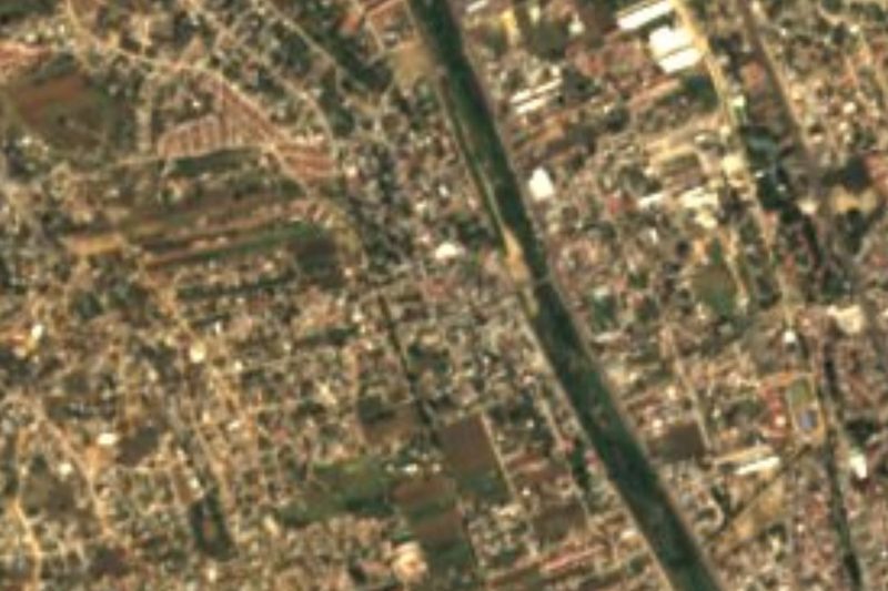


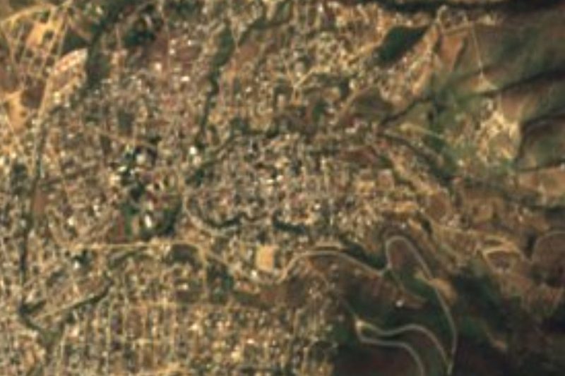


Drive times by road from OpenStreetMap, without traffic. Times marked ~ are estimated from the straight-line distance.
Lists with Cerro del Fortín
Viewpoints in Oaxaca · 3Location from OpenStreetMap. Written by Puebloteca.