


Town Santa Cruz Xoxocotlán, Oaxaca Municipality of Santa Cruz Xoxocotlán Central Valleys of Oaxaca
Oaxaca city's southern neighbour, famous for the candlelit Day of the Dead vigils in its old and new cemeteries on the night of 31 October.
From Oaxaca: 5 min by car (4 km by road) How to get there ↓
Near here


Plan your visit to Santa Cruz Xoxocotlán
Where to stay near Santa Cruz Xoxocotlán
Compare hotels, posadas and guest houses in Santa Cruz Xoxocotlán.
Tours to Santa Cruz Xoxocotlán
Day trips around Mitla sometimes stop in Santa Cruz Xoxocotlán; a tour is the easy way to see it without a car.
 Tours from Oaxaca City
Hierve el Agua 2.5 hours, Mitla, Tule, Rugs and Mezcal for a Day
★ 4.9 (1,558) · From US$70
How to get to Santa Cruz Xoxocotlán
- From Oaxaca: about 5 min by road (~4 km)
- Nearest airport: Oaxaca (OAX), 47 min by car to Mitla
Links open a partner site. We may earn a commission if you book, at no cost to you.
Tours from Oaxaca City, near Santa Cruz Xoxocotlán


Tours, prices and ratings from Viator, checked weekly. We may earn a commission if you book.
About Santa Cruz Xoxocotlán
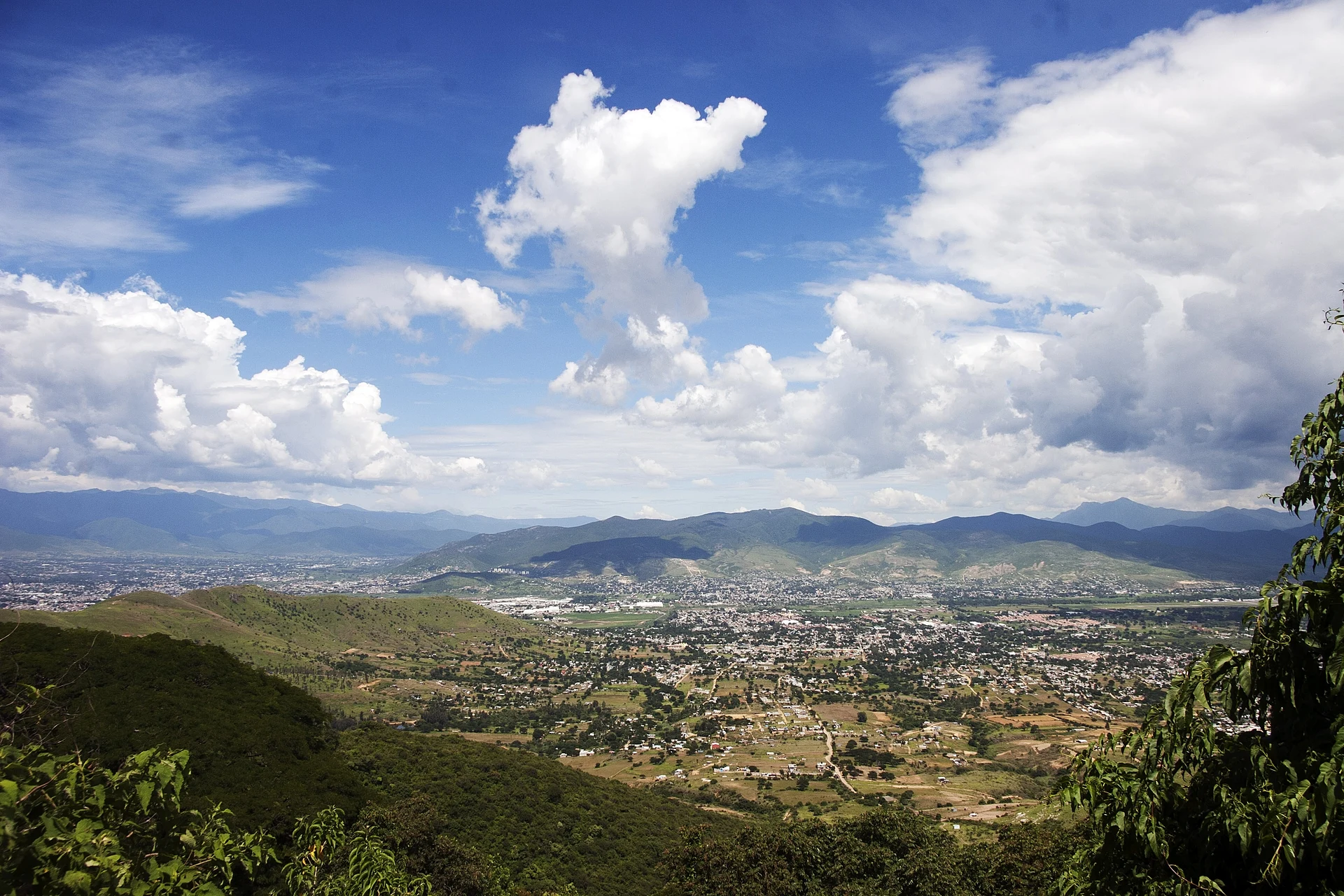
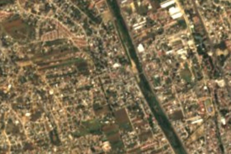
Santa Cruz Xoxocotlán, known to everyone in Oaxaca simply as Xoxo, is a town of about 82,000 people (2020 census) roughly 5 km south of the centre of Oaxaca city, on the flat floor of the Valles Centrales at about 1,530 m. It has grown into part of the capital's metropolitan area, and its municipality takes in a share of the Monte Albán archaeological zone on its western hills, the alebrije-carving village of San Antonio Arrazola and Oaxaca's international airport. The name comes from Nahuatl and refers to sour fruit; the Mixtec called the area Nuunitatnohoyoo.
According to the historian Francisco Javier Clavijero, Mixtec settlers arrived here in the 11th century, and the town itself dates from the mid-15th century. Its oldest building is the chapel of San Sebastián in the old cemetery: first raised in adobe and thatch in the 16th century, it was rebuilt in stone in the 17th and consecrated in 1657, and today its roofless walls and carved lintel stand among the graves. The main parish church is dedicated to Santa Elena de la Cruz, the town's patron, whose feast falls on 18 August. In 1931 the federal government declared 400 hectares of Xoxo's land part of the Monte Albán archaeological zone.
Xoxo is best known for the night of 31 October. Families spend the evening and often the whole night at the graves of their relatives, which they clean and cover with marigolds and other flowers, candles, copal, food and drink, in both the Panteón Viejo near the main square and the newer Panteón Mictlancíhuatl; the streets between them fill with food stalls and fairground games. The town also keeps a Lent custom called Martes de Brujas, with tamales and atole on Tuesdays in the main square, and the Viernes de la Samaritana on the fourth Friday of Lent, when cool drinks are blessed and handed out at the church.
How to get to Santa Cruz Xoxocotlán
Drive from Oaxaca: 5 min, 4 km
Xoxo lies about 5 km south of Oaxaca's centre and has grown into the city, so a taxi takes only a few minutes outside rush hour. City buses run there too: local guides suggest the Zaachila Yoo line, getting off at the Santa Elena de la Cruz municipal market by the main square. Oaxaca's international airport is inside the municipality. On the night of 31 October traffic is heavy and late return transport can be hard to find, so arrange a taxi back in advance.
Directions to Santa Cruz Xoxocotlán on Google Maps
Distances are in a straight line; the road is usually longer.
Links open a partner site. We may earn a commission if you book, at no cost to you.
From the nearest cities to Santa Cruz Xoxocotlán
- Oaxaca · 4 km by road, 5 min
- Huajuapan de León · 174 km by road, 2 h 25 min
- Tehuacán · 217 km by road, 2 h 30 min
Drive times by road from OpenStreetMap, without traffic or stops. Times marked ~ are estimated from the straight-line distance.
What to see in Santa Cruz Xoxocotlán 12
Sights with their own page, closest to the centre first.
Landmarks and museums
-
Central de Abastos · Landmark · 3 km from the centre
Oaxaca's huge wholesale market, a 21-hectare maze of produce, chiles, mole, pottery and food stalls; Saturday is the big day. -
Mercado 20 de Noviembre · Landmark · 3 km from the centre
Oaxaca's food market, two blocks south of the Zócalo: mole, tlayudas, pan de yema with chocolate and the smoky Pasillo de Humo grill aisle. -
Mercado Benito Juárez · Landmark · 3 km from the centre
Oaxaca's oldest covered market, an 1894 iron hall a block from the Zócalo selling mole, quesillo, chocolate, crafts and fresh juice. -
Andador Macedonio Alcalá · Landmark · 4 km from the centre
Oaxaca's green-stone pedestrian street, car-free since 1985, running five blocks from the Zócalo to Santo Domingo past museums and galleries. -
Basílica de Nuestra Señora de la Soledad · Landmark · 4 km from the centre
The 17th-century baroque basilica of Oaxaca's patron Virgin, with a screen-like stone facade, a 1686 organ and nieve stands in the plaza. -
Jardín Etnobotánico de Oaxaca · Landmark · 4 km from the centre
A 2.3-hectare garden of plants native to Oaxaca on Santo Domingo's old convent orchard, famous for its columnar-cactus walls; guided tours only. -
Museo Textil de Oaxaca · Landmark · 4 km from the centre
Free textile museum in an 18th-century cochineal merchant's house in Oaxaca's centro, with rotating shows of huipiles, rebozos and dyes. -
Museo de Arte Prehispánico de México Rufino Tamayo · Landmark · 4 km from the centre
Painter Rufino Tamayo's gift to his home city: about 1,350 pre-Hispanic pieces shown as art in five rooms painted in his own palette. -
Templo de Santo Domingo de Guzmán · Landmark · 4 km from the centre
Oaxaca's grandest Baroque church, with a gilded interior and a former Dominican convent that now holds the Museo de las Culturas and Monte Albán's Tomb 7 gold. -
Zócalo de Oaxaca · Landmark · 4 km from the centre
Oaxaca's shady, car-free main square, laid out in 1529, with an art nouveau bandstand, café arcades, the cathedral and the Alameda de León beside it.


Archaeological sites
-
Monte Albán · Archaeological site · 4 km from the centre
The Zapotec capital on a levelled mountaintop 400 m above Oaxaca's valleys, founded about 500 BC and a UNESCO World Heritage Site since 1987.

Viewpoints
-
Cerro del Fortín · Viewpoint · 4 km from the centre
The hill over Oaxaca City: stairs up to the Guelaguetza auditorium, a Juárez statue with city views, a planetarium and forest trails.

Map of Santa Cruz Xoxocotlán
Neighbourhoods and villages of Santa Cruz Xoxocotlán
Part of Santa Cruz Xoxocotlán or just outside it, closest first.
-
San Antonio de la Cal · Town · 3 km from the centre
Central Valleys town next to Oaxaca city, settled by lime burners; fiesta of San Antonio Abad every 17 January and a name for tlayudas.
Day trips and tours from Santa Cruz Xoxocotlán
The closest Pueblos Mágicos and places to visit, with the drive from Santa Cruz Xoxocotlán and tours that leave from it.


Times marked ~ are estimated from the distance. Links open a partner site. We may earn a commission if you book, at no cost to you.
Before you go: getting to and around Santa Cruz Xoxocotlán
- The nearest airport is Oaxaca (OAX).
- The best months to go are January, February, March, and December.
- 9 of the places on this page are more than 3 km from the centre: take a taxi, a ride-hailing app or a local bus.
- For day trips a rental car gives the most freedom; the tours above leave from Santa Cruz Xoxocotlán.
Before you go to Santa Cruz Xoxocotlán: hours, prices and tips
- Best time of day
- Reach the old cemetery in the late afternoon of 31 October to see families cleaning and decorating graves before the crowds arrive after dark. Oaxaca Culture · checked Oct 2026
- Best season
- Day of the Dead vigils in the cemeteries take place on the night of 31 October, often lasting until dawn; the patron saint's feast of Santa Elena de la Cruz is on 18 August. Wikipedia · checked Oct 2026
- Rules
- The vigil is a family ritual: ask before photographing people up close, skip the flash, and keep out of the chapel ruins if they are taped off. Oaxaca Culture · checked Oct 2026
Hours and prices change, especially around holidays. Each fact links to where we checked it.
Visiting Santa Cruz Xoxocotlán: what to see and do
Join the candlelit vigil in the Panteón Viejo and the Panteón Mictlancíhuatl on the night of 31 October.
Look at the roofless 17th-century chapel of San Sebastián among the old graves.
Visit the parish church of Santa Elena de la Cruz on the main square.
Try tamales and atole at the Martes de Brujas on Lent Tuesdays.
Drive up to Monte Albán, whose southern slopes belong to the municipality.
Buy carved and painted alebrijes in nearby San Antonio Arrazola.
Plan your trip
Places to stay in Santa Cruz Xoxocotlán
Compare hotels, posadas, and rentals in and around Santa Cruz Xoxocotlán.
Tours & activities
Day trips around Mitla sometimes stop in Santa Cruz Xoxocotlán; a tour is the easy way to see it without a car.
Rental cars
Pick up a car at OAX (Oaxaca): about 47 min by road to Mitla, then 41 km more to Santa Cruz Xoxocotlán, on your own schedule.
Flights
The nearest airport with scheduled flights is Oaxaca (OAX), about 47 min by road from Mitla, the base for Santa Cruz Xoxocotlán.
Mobile data
Signal can drop away from Mitla: download a map of the way to Santa Cruz Xoxocotlán before you set out, or carry an eSIM with data.
Links open a partner site. We may earn a commission if you book, at no cost to you.
Photos
When to go to Santa Cruz Xoxocotlán mild
Santa Cruz Xoxocotlán shares the climate of Mitla, 41 km away. The best months to visit are January, February, March, and December.
See the month-by-month climate of Mitla
Weather in Santa Cruz Xoxocotlán now and the next 7 days
Live forecast from Open-Meteo. Chance of rain is the day's highest.
The closest Pueblo Mágico: Mitla

Mitla is the Pueblo Mágico closest to Santa Cruz Xoxocotlán, with places to stay, food, and more to see.
Also close to
- Capulálpam de Méndez · Oaxaca · 43 km away
Near Santa Cruz Xoxocotlán
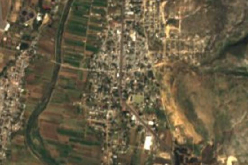




Drive times by road from OpenStreetMap, without traffic. Times marked ~ are estimated from the straight-line distance.
Location from OpenStreetMap. Written by Puebloteca.