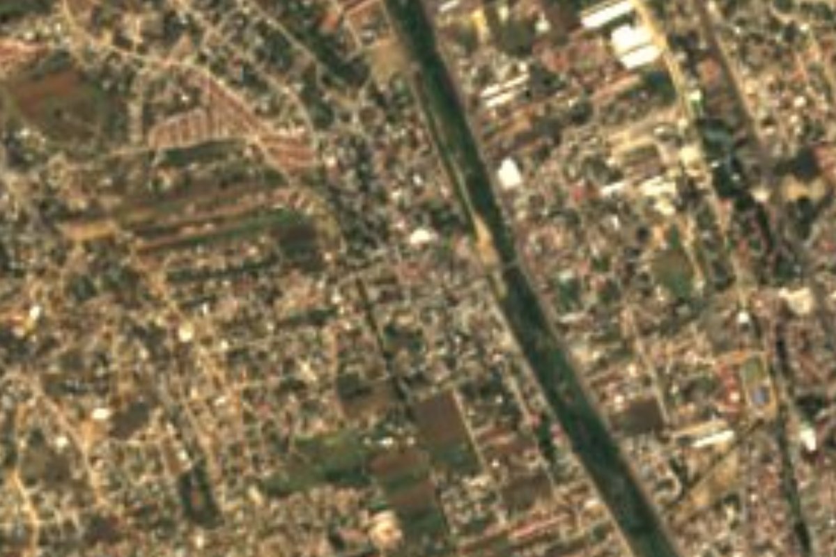
Town San Jacinto Amilpas, Oaxaca Central Valleys of Oaxaca
Urban municipality hugging Oaxaca City at 1,600 m, from 861 people in 1940 to nearly 17,000 now. Church of 1800 and a fiesta on 17 August.
From Oaxaca: 10 min by car (7 km by road) How to get there ↓
Near here




Plan your visit to San Jacinto Amilpas
Where to stay near San Jacinto Amilpas
Compare hotels, posadas and guest houses in San Jacinto Amilpas.
Tours to San Jacinto Amilpas
Day trips around Capulálpam de Méndez sometimes stop in San Jacinto Amilpas; a tour is the easy way to see it without a car.
 Day of Dead in Oaxaca
★ 5.0 (2) · From US$127
How to get to San Jacinto Amilpas
- From Oaxaca: about 10 min by road (~7 km)
- Nearest airport: Oaxaca (OAX), 1 h 27 min by car to Capulálpam de Méndez
Links open a partner site. We may earn a commission if you book, at no cost to you.
Popular tours to San Jacinto Amilpas
Tours, prices and ratings from Viator, checked weekly. We may earn a commission if you book.
About San Jacinto Amilpas
San Jacinto Amilpas is now almost indistinguishable from Oaxaca City: INEGI describes it as a one-locality municipality, 100% urban area, surrounded by Oaxaca de Juárez and Santa María Atzompa, at 1,600 to 1,700 m above sea level. It has spread over former farmland in a rolling valley, and the Atoyac river runs through it. The climate is semi-dry and semi-warm, 18 to 22 °C, with 600 to 700 mm of rain a year.
The name joins the patron saint, Saint Hyacinth of Poland, with Nahuatl Amilpas: atl (water), milli (sown field) and pan (place), "in the field of water". The farming past is gone. The censuses tell the growth: 1,202 people in 1900, 861 in 1940, 1,978 in 1980, 8,343 in 2000, 13,860 in 2010 and 16,827 in 2020. It is among the most densely populated municipalities in Oaxaca. About 72% of the workforce is in services, mainly commerce, and some 958 residents speak an indigenous language, among them Triqui, Cuicatec, Nahuatl, Chatino, Mixtec and Zapotec varieties.
The oldest monument is the church, built in 1800 according to INEGI's municipal compendium. The patron saint's fiesta is held on 17 August. This is a neighbourhood of the metropolitan area that serves as a dormitory and market for the city rather than a sightseeing stop.
How to get to San Jacinto Amilpas
Drive from Oaxaca: 10 min, 7 km
San Jacinto Amilpas is part of the Oaxaca de Juárez metropolitan area and borders the city on the north and east, about 6 km from the centre (roughly 15 to 25 minutes depending on traffic). You get there by car or taxi from the city centre; We found no source for city bus routes, so ask at the Zócalo or the terminal. The first-class bus terminal is on Calzada Niños Héroes de Chapultepec (Wikivoyage), and a taxi from there takes a few minutes.
Santa María Atzompa lies to the south and west of the municipality. Capulálpam de Méndez, in the Sierra Norte, is about 40 km away in a straight line, but by road it is a longer trip along federal highway 175 toward Ixtlán.
Directions to San Jacinto Amilpas on Google Maps
Distances are in a straight line; the road is usually longer.
Links open a partner site. We may earn a commission if you book, at no cost to you.
From the nearest cities to San Jacinto Amilpas
- Oaxaca · 7 km by road, 10 min
- Huajuapan de León · 165 km by road, 2 h 15 min
- Tehuacán · 207 km by road, 2 h 20 min
Drive times by road from OpenStreetMap, without traffic or stops. Times marked ~ are estimated from the straight-line distance.
What to see in San Jacinto Amilpas 1
Sights with their own page, closest to the centre first.
-
Zona Arqueológica de Atzompa · Archaeological site · 3 km from the centre
Monte Albán's hilltop satellite city above Santa María Atzompa, with the largest ball court in the Monte Albán area and free entry.
Map of San Jacinto Amilpas
Neighbourhoods and villages of San Jacinto Amilpas
Part of San Jacinto Amilpas or just outside it, closest first.
-
Santa María Atzompa · Town · 2 km from the centre
A potters' town 5 km northwest of Oaxaca, famous for jade-green glazed cookware, with a communal crafts market and family workshops. -
Viguera · Town · 4 km from the centre
Locality in Oaxaca de Juárez at 1,622 m, north of the capital; it grew from 260 people in 1900 to 8,506 in 2020.
Day trips and tours from San Jacinto Amilpas
The closest Pueblos Mágicos and places to visit, with the drive from San Jacinto Amilpas and tours that leave from it.


Times marked ~ are estimated from the distance. Links open a partner site. We may earn a commission if you book, at no cost to you.
Before you go: getting to and around San Jacinto Amilpas
- The nearest airport is Oaxaca (OAX).
- The best months to go are January, February, March, and December.
- 1 of the places on this page is more than 3 km from the centre: take a taxi, a ride-hailing app or a local bus.
- For day trips a rental car gives the most freedom; the tours above leave from San Jacinto Amilpas.
Visiting San Jacinto Amilpas: what to see and do
Step into the church of San Jacinto, built in 1800.
Come on 17 August for the patron saint's fiesta.
Walk the streets and shops of the metropolitan area.
Continue to Santa María Atzompa for its clay-craft market.
Climb Cerro del Fortín in Oaxaca City, a few minutes away.
Plan your trip
Places to stay in San Jacinto Amilpas
Compare hotels, posadas, and rentals in and around San Jacinto Amilpas.
Tours & activities
Day trips around Capulálpam de Méndez sometimes stop in San Jacinto Amilpas; a tour is the easy way to see it without a car.
Rental cars
Pick up a car at OAX (Oaxaca): about 1 h 27 min by road to Capulálpam de Méndez, then 40 km more to San Jacinto Amilpas, on your own schedule.
Flights
The nearest airport with scheduled flights is Oaxaca (OAX), about 1 h 27 min by road from Capulálpam de Méndez, the base for San Jacinto Amilpas.
Mobile data
Signal can drop away from Capulálpam de Méndez: download a map of the way to San Jacinto Amilpas before you set out, or carry an eSIM with data.
Links open a partner site. We may earn a commission if you book, at no cost to you.
When to go to San Jacinto Amilpas cool
San Jacinto Amilpas shares the climate of Capulálpam de Méndez, 40 km away. The best months to visit are January, February, March, and December.
See the month-by-month climate of Capulálpam de Méndez
Weather in San Jacinto Amilpas now and the next 7 days
Live forecast from Open-Meteo. Chance of rain is the day's highest.
The closest Pueblo Mágico: Capulálpam de Méndez

Capulálpam de Méndez is the Pueblo Mágico closest to San Jacinto Amilpas, with places to stay, food, and more to see.
Also close to
- Mitla · Oaxaca · 47 km away
Near San Jacinto Amilpas


Drive times by road from OpenStreetMap, without traffic. Times marked ~ are estimated from the straight-line distance.
Location from OpenStreetMap. Written by Puebloteca.