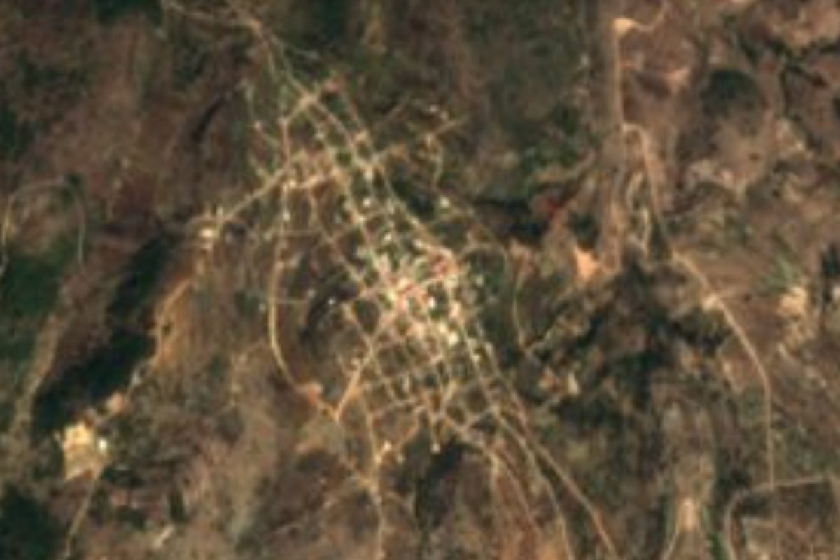
Town Santa Catarina Ticuá, Oaxaca Mixteca of Oaxaca
Mixtec village in the Mixteca Alta at 2,250 m, known for palm crafts, mole amarillo and pulque, near Chalcatongo.
From Tlapa: about 2 h 20 min by road (~160 km) How to get there ↓
Near here
See everything nearby ↓
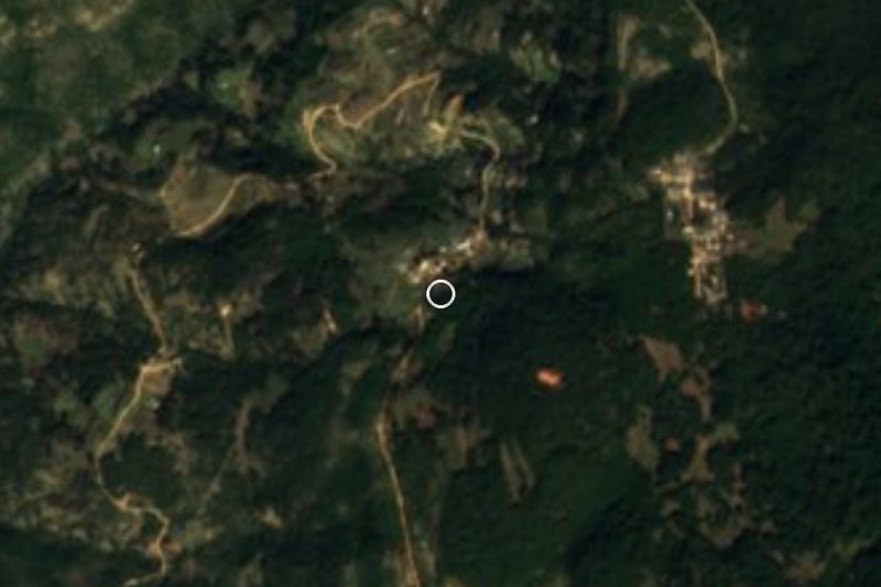


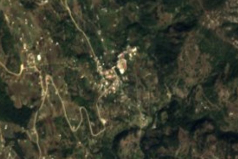
Plan your visit to Santa Catarina Ticuá
Where to stay near Santa Catarina Ticuá
Compare hotels, posadas and guest houses in Santa Catarina Ticuá.
Tours to Santa Catarina Ticuá
Day trips around Teposcolula sometimes stop in Santa Catarina Ticuá; a tour is the easy way to see it without a car.
 Tours from Oaxaca City
Hierve el Agua 2.5 hours, Mitla, Tule, Rugs and Mezcal for a Day
★ 4.9 (1,558) · From US$70
How to get to Santa Catarina Ticuá
- From Tlapa: about 2 h 20 min by road (~160 km)
- Nearest airport: Oaxaca (OAX), 1 h 45 min by car to Teposcolula
Links open a partner site. We may earn a commission if you book, at no cost to you.
Tours from Oaxaca City, near Santa Catarina Ticuá


Tours, prices and ratings from Viator, checked weekly. We may earn a commission if you book.
About Santa Catarina Ticuá
Ticuá is pronounced Tee Kua in Mixtec and translates as "red man": a spot called Shiniticua is where local tradition says the first inhabitant settled. Over time the word came to mean "orange" or "orange-coloured". The village stands at 2,250 metres in a municipality of just 15.3 km2, with a mild climate and summer rain, bordering San Pedro Molinos, Santa María Yosoyúa, San Pablo Tijaltepec and Chalcatongo de Hidalgo.
Mixtec is the adults' language, though most young people have lost interest in keeping it up. Local dances include the torito, the canario, the casamiento and the maromeros, and the best-known crafts are made of palm; people also make nets, tumplines, reed baskets, tenates and embroidered shirts. In the kitchen the stars are mole amarillo, pulque, tepache and fruit such as capulín, apple and quince.
The seat celebrates Santa Catarina Mártir; the outlying hamlets have their own feasts: Candelaria at Fortín Juárez, San Isidro at the hamlet of that name, the Virgen de los Remedios at Paz y Unión and Santa Cecilia at El Chamizal. For shopping there is a municipal market and five grocery shops, and the village picks up Tlaxiaco's radio stations.
The locality's population fell from 1,515 in 1950 to 473 in 1980 through migration and has recovered to 592 in 2020; in 2010 the municipality had 954 inhabitants in six localities. It is a village of maize fields and backyard livestock, not a place with tourist infrastructure.
How to get to Santa Catarina Ticuá
Ticuá is in the Mixteca Alta, in the Tlaxiaco district. The reference point is Tlaxiaco, the regional town, from where the paved road continues to Villa de Chalcatongo de Hidalgo; Ticuá lies next to Chalcatongo, and the turn toward the nearby hamlets leaves that paved road. From Oaxaca city it is about 86 km in a straight line, quite a bit more by road: We found no reliable drive time, so allow several hours and start early. Streets inside the village are dirt, and dirt roads link it with the neighbouring municipalities (Chalcatongo, San Pedro Molinos, Santa María Yosoyúa and San Pablo Tijaltepec). Local transport is taxis from two stands, 25 de Noviembre and Nueva Esperanza, which also carry light cargo to the Ticuá market, to Chalcatongo and to Tlaxiaco. We found no timetabled bus line to Ticuá: in Tlaxiaco ask for transport to Chalcatongo and finish by taxi. Teposcolula, the nearest pueblo on our list, is about 49 km away in a straight line.
Directions to Santa Catarina Ticuá on Google Maps
Distances are in a straight line; the road is usually longer.
Links open a partner site. We may earn a commission if you book, at no cost to you.
From the nearest cities to Santa Catarina Ticuá
- Tlapa · about 160 km by road, ~2 h 20 min
- Huajuapan de León · 154 km by road, 2 h 45 min
- Oaxaca · 211 km by road, 3 h 10 min
Drive times by road from OpenStreetMap, without traffic or stops. Times marked ~ are estimated from the straight-line distance.
Visiting Santa Catarina Ticuá: what to see and do
Stroll the centre and the Santa Catarina church.
Find the municipal market and try mole amarillo.
Ask for palm crafts, tenates and reed baskets.
If there is a fiesta, watch the torito dance or the maromeros.
Follow the track toward the Shiniticua spot, where the first inhabitant settled.
Try the region's pulque or tepache.
Plan your trip
Places to stay in Santa Catarina Ticuá
Compare hotels, posadas, and rentals in and around Santa Catarina Ticuá.
Tours & activities
Day trips around Teposcolula sometimes stop in Santa Catarina Ticuá; a tour is the easy way to see it without a car.
Rental cars
Pick up a car at OAX (Oaxaca): about 1 h 45 min by road to Teposcolula, then 49 km more to Santa Catarina Ticuá, on your own schedule.
Flights
The nearest airport with scheduled flights is Oaxaca (OAX), about 1 h 45 min by road from Teposcolula, the base for Santa Catarina Ticuá.
Mobile data
Signal can drop away from Teposcolula: download a map of the way to Santa Catarina Ticuá before you set out, or carry an eSIM with data.
Links open a partner site. We may earn a commission if you book, at no cost to you.
When to go to Santa Catarina Ticuá cool
Santa Catarina Ticuá shares the climate of Teposcolula, 49 km away. The best months to visit are January, February, March, and December.
See the month-by-month climate of Teposcolula
Weather in Santa Catarina Ticuá now and the next 7 days
Live forecast from Open-Meteo. Chance of rain is the day's highest.
The closest Pueblo Mágico: Teposcolula

Teposcolula is the Pueblo Mágico closest to Santa Catarina Ticuá, with places to stay, food, and more to see.
Closest to Santa Catarina Ticuá
-
Chalcatongo de Hidalgo · Town · 6 km away
-
Atalaya · Village · 13 km away
-
San Esteban Atatlahuca · Town · 15 km away
-
San Miguel Ixcatlán · Town · 20 km away
-
Santiago Yosondúa · Town · 22 km away
-
Santo Tomás Ocotepec · Town · 26 km away
-
Tlaxiaco · Town · 26 km away
-
Yutanduchi de Guerrero · Town · 26 km away


Near Santa Catarina Ticuá


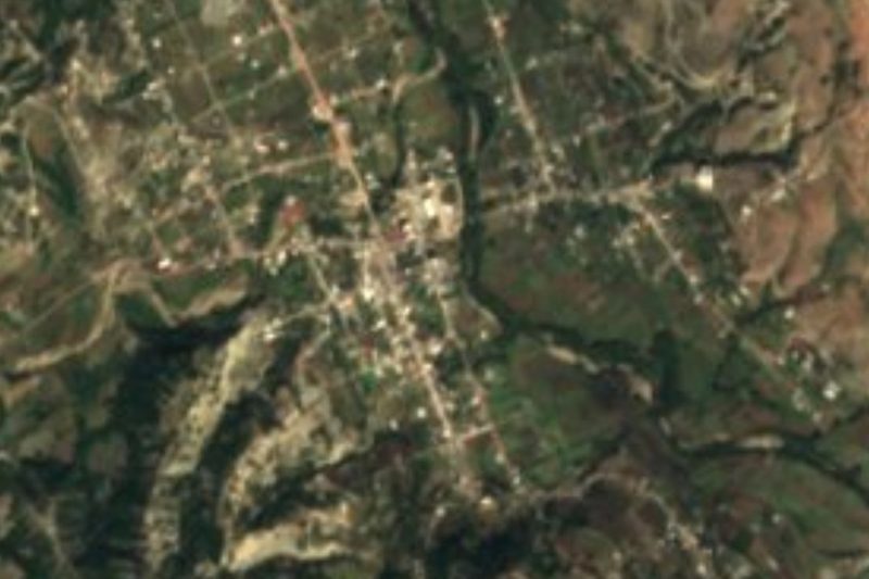


Drive times by road from OpenStreetMap, without traffic. Times marked ~ are estimated from the straight-line distance.
Location from OpenStreetMap. Written by Puebloteca.