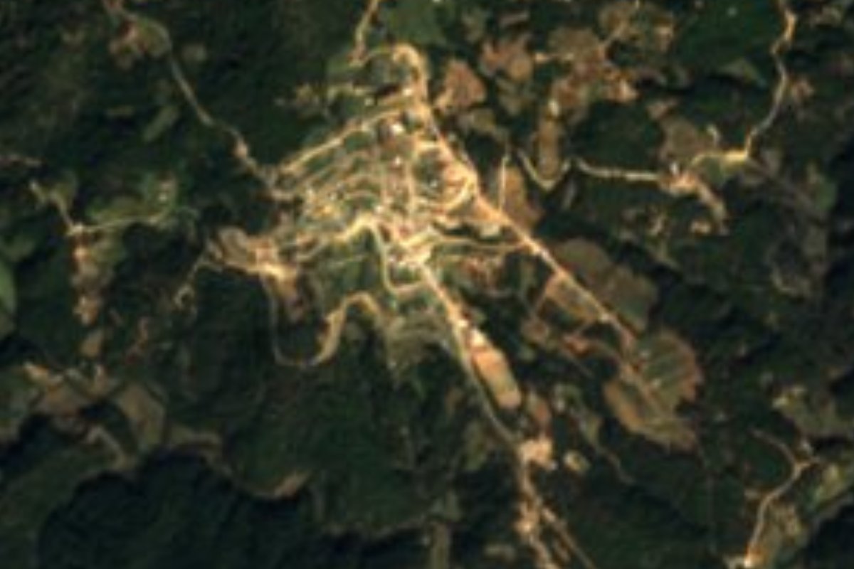
Town San Esteban Atatlahuca, Oaxaca Mixteca of Oaxaca
Mixteca town in pine-oak forest at 2,450 m: 547 residents, the Mascaritas carnival and the San Esteban fiesta on 3 August.
From Tlapa: about 2 h 5 min by road (~140 km) How to get there ↓
Near here
See everything nearby ↓
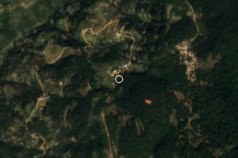


Plan your visit to San Esteban Atatlahuca
Where to stay near San Esteban Atatlahuca
Compare hotels, posadas and guest houses in San Esteban Atatlahuca.
Tours to San Esteban Atatlahuca
Day trips around Teposcolula sometimes stop in San Esteban Atatlahuca; a tour is the easy way to see it without a car.
How to get to San Esteban Atatlahuca
- From Tlapa: about 2 h 5 min by road (~140 km)
- Nearest airport: Oaxaca (OAX), 1 h 45 min by car to Teposcolula
Links open a partner site. We may earn a commission if you book, at no cost to you.
About San Esteban Atatlahuca
San Esteban Atatlahuca sits high in the Mixteca at about 2,450 m, in a municipality of pine and oak forest covering 110 km². In 2020 the locality had 547 residents (489 in 2010), and most of the population is Indigenous. Its Nahuatl name means "red earth between two rivers"; the Crown issued land titles in 1550, and it has had a town council since 1891, in the Tlaxiaco district. Beyond the seat, the municipality includes communities such as Guerrero Grande, Independencia, Mier y Terán and Ndoyocoyo, and its authorities are chosen by customary law between July and August.
This is cold country: about 14 °C on average, over 1,300 mm of rain a year, roughly 250 days with rain or drizzle, and lows that have reached -1.4 °C. Of the 11,129 hectares of communal land, some 7,850 are forest, and families live from it: timber, river stone and foundation stone, and seasonal mushrooms such as the pine, egg-yolk and Lent varieties. Lower plots grow maize, beans and tomatoes; higher up, broad beans, oats and maguey. The woods hold pine, oyamel fir, madroño and oak, orchids, deer, foxes and birds of prey.
The seat and Mier y Terán both have colonial churches. The fiesta calendar runs from the Santa Cruz (3 May) and San Antonio (14 June) to the patronal feast of San Esteban (3 August) and New Year's Eve. From January until 2 February the Mascaritas carnival is danced, with the dance of the abuelito, and people eat pozole and mole amarillo and drink tepache or pulque. Wool from sheep goes into blankets, sarapes, sashes and rolls, and the music is wind-band. The municipality also holds a carved Mixtec stone and the remains of an archaeological site, Yucunukee, now abandoned.
How to get to San Esteban Atatlahuca
Atatlahuca is reached through Tlaxiaco, the nearest city in the Mixteca, and then by a mountain road. From Oaxaca city it is about 200 km by road and about 3 hours by car (approx.), climbing via Asunción Nochixtlán to Tlaxiaco. From Tlaxiaco to the town centre allow about an hour and a half (the time locals give; in a straight line it is only about 24 km, but the road twists a lot). In 2020 the stretch at El Chapulín was blocked by protesters, so ask about road conditions before you set out.
By bus: Fypsa (Autobuses Fletes y Pasajes) runs Oaxaca to Tlaxiaco, about 3 h with only two departures a day; ADO leaves Oaxaca for Nochixtlán every 10 minutes (about 1 h 20 min), and Fypsa runs two buses a day from Nochixtlán to Tlaxiaco. We found no published service or colectivos from Tlaxiaco to Atatlahuca, so ask in Tlaxiaco about the pickups that go up to the community, or hire a taxi.
The town has no registered hotels; the nearest listings are 9 to 10 km away (a guesthouse and a hotel). Bring warm clothes, cash and a charged phone: We could not confirm mobile signal on the way.
Directions to San Esteban Atatlahuca on Google Maps
Distances are in a straight line; the road is usually longer.
Links open a partner site. We may earn a commission if you book, at no cost to you.
From the nearest cities to San Esteban Atatlahuca
- Tlapa · about 140 km by road, ~2 h 5 min
- Huajuapan de León · 144 km by road, 2 h 45 min
- Oaxaca · 201 km by road, 3 h 10 min
Drive times by road from OpenStreetMap, without traffic or stops. Times marked ~ are estimated from the straight-line distance.
Before you go to San Esteban Atatlahuca: hours, prices and tips
- Best time of day
- 3 August (fiesta of San Esteban); the Mascaritas carnival runs 6 January to 2 February. INAFED Enciclopedia de los Municipios · checked Oct 2026
- Best season
- Cold, wet highlands: mean about 14 °C, roughly 1,400 mm of rain a year; lows to -1.4 °C recorded. Pueblos de América · checked Oct 2026
- What to bring
- Warm clothes and rain gear for a 2,450 m forest town. Pueblos de América · checked Oct 2026
Hours and prices change, especially around holidays. Each fact links to where we checked it.
Visiting San Esteban Atatlahuca: what to see and do
Come for the San Esteban fiesta on 3 August.
See the Mascaritas carnival, 6 January to 2 February.
Visit the colonial churches in the seat and in Mier y Terán.
Walk the pine, oak and fir forests of the communal lands.
Look for seasonal mushrooms in the rainy season.
Buy blankets and sarapes woven from sheep's wool.
Plan your trip
Places to stay in San Esteban Atatlahuca
Compare hotels, posadas, and rentals in and around San Esteban Atatlahuca.
Tours & activities
Day trips around Teposcolula sometimes stop in San Esteban Atatlahuca; a tour is the easy way to see it without a car.
Rental cars
Pick up a car at OAX (Oaxaca): about 1 h 45 min by road to Teposcolula, then 53 km more to San Esteban Atatlahuca, on your own schedule.
Flights
The nearest airport with scheduled flights is Oaxaca (OAX), about 1 h 45 min by road from Teposcolula, the base for San Esteban Atatlahuca.
Mobile data
Signal can drop away from Teposcolula: download a map of the way to San Esteban Atatlahuca before you set out, or carry an eSIM with data.
Links open a partner site. We may earn a commission if you book, at no cost to you.
When to go to San Esteban Atatlahuca cool
San Esteban Atatlahuca shares the climate of Teposcolula, 53 km away. The best months to visit are January, February, March, and December.
See the month-by-month climate of Teposcolula
Weather in San Esteban Atatlahuca now and the next 7 days
Live forecast from Open-Meteo. Chance of rain is the day's highest.
The closest Pueblo Mágico: Teposcolula

Teposcolula is the Pueblo Mágico closest to San Esteban Atatlahuca, with places to stay, food, and more to see.
Closest to San Esteban Atatlahuca
-
Chalcatongo de Hidalgo · Town · 12 km away
-
Santo Tomás Ocotepec · Town · 13 km away
-
Santa Catarina Ticuá · Town · 15 km away
-
Atalaya · Village · 17 km away
-
Tlaxiaco · Town · 22 km away
-
Santiago Yosondúa · Town · 24 km away
-
San Miguel Ixcatlán · Town · 26 km away
-
Putla Villa de Guerrero · Town · 27 km away


Near San Esteban Atatlahuca


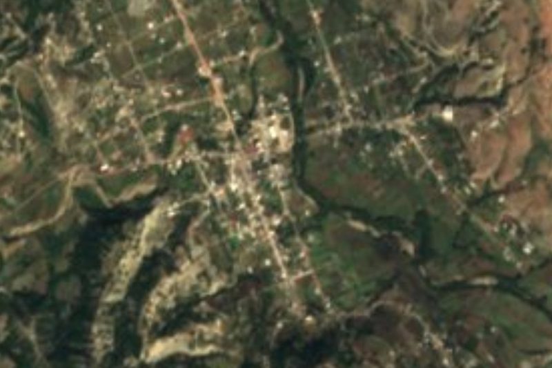


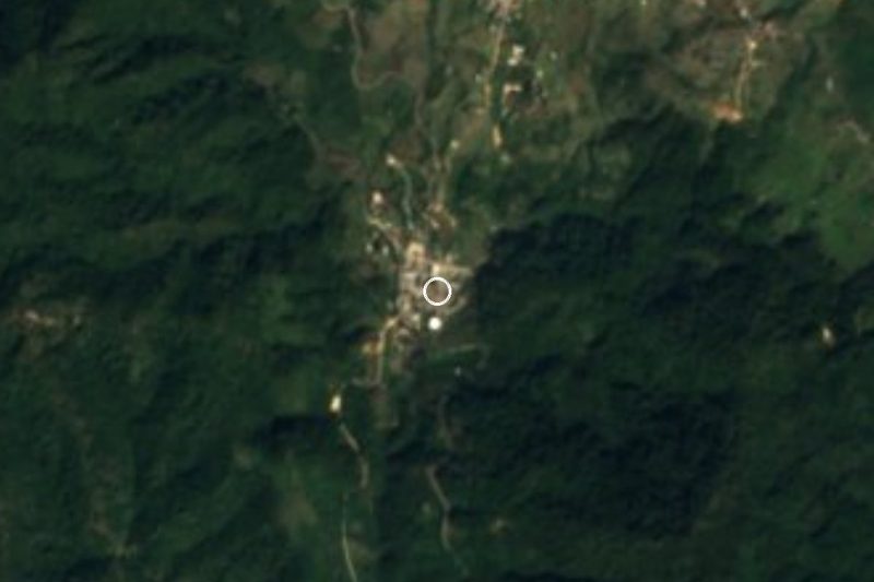


Drive times by road from OpenStreetMap, without traffic. Times marked ~ are estimated from the straight-line distance.
Location from OpenStreetMap. Written by Puebloteca.