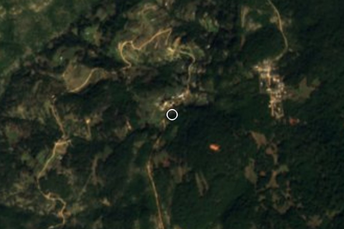
Village Santiago Yosondúa, Oaxaca Municipality of Santiago Yosondúa Mixteca of Oaxaca
Rural community of Santiago Yosondúa at 2,620 m in the Mixteca, with 385 residents; summer rain and fog, winter frosts.
From Tlapa: about 2 h 25 min by road (~165 km) How to get there ↓
Near here
See everything nearby ↓


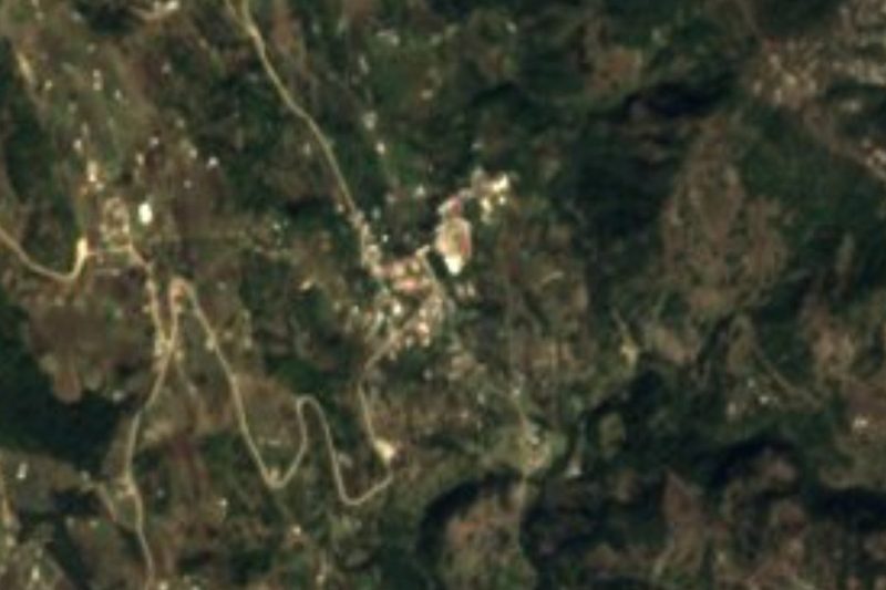
Plan your visit to Atalaya
Where to stay near Atalaya
Compare hotels, posadas and guest houses in Atalaya.
Tours to Atalaya
Day trips and guided outings from Teposcolula often include Atalaya; with a local guide you can get there without a car.
 Tours from Oaxaca City
Hierve el Agua 2.5 hours, Mitla, Tule, Rugs and Mezcal for a Day
★ 4.9 (1,558) · From US$70
How to get to Atalaya
- From Tlapa: about 2 h 25 min by road (~165 km)
- Nearest airport: Oaxaca (OAX), 1 h 45 min by car to Teposcolula
Links open a partner site. We may earn a commission if you book, at no cost to you.
Tours from Oaxaca City, near Atalaya


Tours, prices and ratings from Viator, checked weekly. We may earn a commission if you book.
About Atalaya
Atalaya is a rural community in the municipality of Santiago Yosondúa, in the Tlaxiaco district, high in the Mixteca of Oaxaca. It sits at 2,620 metres above sea level and about 9 kilometres south of the municipal seat. In 2020 it had 385 residents and 104 occupied homes, with a fertility rate of 3.42 children per woman.
There are no monuments or visitor attractions here; what you see is mountain village life. The municipality lies in the Sierra Madre de Oaxaca, with flat plains, steep slopes and deep ravines, crossed by the Esmeralda, Palomita, Cacalote, Yutamá, Tecomate and Cuanana rivers. Temperatures range from 12 to 26 °C, averaging about 19 °C, and about 1,409 mm of rain falls a year. June to September is the rainy, foggy season; January to May is dry, with frost in December and January and strong winds from February to April. Atalaya is among the communities where tornadoes have damaged homes.
People grow maize and beans for their own use and raise sheep, goats, pigs and poultry as savings. In the municipal seat, Santiago Yosondúa, the Sunday market is the largest in the micro-region and draws traders from the surrounding area; in November and December sugar cane is sold in the plaza. Mixtec is spoken mostly by elders and is fading among children.
How to get to Atalaya
Atalaya is about 9 km south of Santiago Yosondúa, the municipal seat, by a rural road; we found no data on whether it is paved, so expect dirt and ask in Yosondúa. Yosondúa is about 95 km southeast of Oaxaca city and about 70 km south of Tlaxiaco; Atalaya is about 62 km from Teposcolula as the crow flies, with no direct link. The state road between Tlaxiaco and Yosondúa passes through Magdalena Peñasco.
By public transport, the Transportes Yosondúa line carries passengers from Mexico City and the State of Mexico to Santiago Yosondúa, with stops in communities on the way. We found no timetable or departure terminal in Oaxaca, and no documented colectivo from Yosondúa to Atalaya: ask in Yosondúa's plaza, especially on Sunday market day, when more people come in from the communities. In the rainy season (June to September) there is fog and the roads get harder.
Directions to Atalaya on Google Maps
Distances are in a straight line; the road is usually longer.
Links open a partner site. We may earn a commission if you book, at no cost to you.
From the nearest cities to Atalaya
- Tlapa · about 165 km by road, ~2 h 25 min
- Huajuapan de León · 168 km by road, 3 h 5 min
- Oaxaca · 224 km by road, 3 h 30 min
Drive times by road from OpenStreetMap, without traffic or stops. Times marked ~ are estimated from the straight-line distance.
Before you go to Atalaya: hours, prices and tips
- Best time of day
- January to May, in the dry season; June to September brings rain and fog. Santiago Yosondúa (Wikipedia) · checked Oct 2026
- What to bring
- A coat for the altitude cold and December-January frosts; a rain jacket in summer. Santiago Yosondúa (Wikipedia) · checked Oct 2026
Hours and prices change, especially around holidays. Each fact links to where we checked it.
Visiting Atalaya: what to see and do
Come in the dry months, January to May, to walk the paths between cornfields and see the sierra landscape.
Stop by Santiago Yosondúa's Sunday market, the largest in the micro-region.
In November and December try the sugar cane sold in Yosondúa's plaza.
Listen for Mixtec among the elders and ask about the community respectfully.
Bring a coat: at 2,620 m there are frosts in December and January.
Plan your trip
Places to stay in Atalaya
Compare hotels, posadas, and rentals in and around Atalaya.
Tours & activities
Day trips and guided outings from Teposcolula often include Atalaya; with a local guide you can get there without a car.
Rental cars
Pick up a car at OAX (Oaxaca): about 1 h 45 min by road to Teposcolula, then 62 km more to Atalaya, on your own schedule.
Flights
The nearest airport with scheduled flights is Oaxaca (OAX), about 1 h 45 min by road from Teposcolula, the base for Atalaya.
Mobile data
Signal can drop away from Teposcolula: download a map of the way to Atalaya before you set out, or carry an eSIM with data.
Links open a partner site. We may earn a commission if you book, at no cost to you.
When to go to Atalaya cool
Atalaya shares the climate of Teposcolula, 62 km away. The best months to visit are January, February, March, and December.
See the month-by-month climate of Teposcolula
Weather in Atalaya now and the next 7 days
Live forecast from Open-Meteo. Chance of rain is the day's highest.
The closest Pueblo Mágico: Teposcolula

Teposcolula is the Pueblo Mágico closest to Atalaya, with places to stay, food, and more to see.
Closest to Atalaya
-
Chalcatongo de Hidalgo · Town · 9 km away
-
San Miguel Ixcatlán · Town · 9 km away
-
Santiago Yosondúa · Town · 9 km away
-
Santa Catarina Ticuá · Town · 13 km away
-
San Esteban Atatlahuca · Town · 17 km away
-
Santo Tomás Ocotepec · Town · 30 km away
-
Yutanduchi de Guerrero · Town · 30 km away
-
Tlaxiaco · Town · 37 km away


Near Atalaya




Drive times by road from OpenStreetMap, without traffic. Times marked ~ are estimated from the straight-line distance.
Location from OpenStreetMap. Written by Puebloteca.