

Town Santiago Yosondúa, Oaxaca Municipality of Santiago Yosondúa Mixteca of Oaxaca
Mixteca seat at 2,199 m with a Sunday market, palm mats, mole negro and pulque, in the hills south of Tlaxiaco.
From Tlapa: about 2 h 30 min by road (~170 km) How to get there ↓
Near here
See everything nearby ↓

Plan your visit to Santiago Yosondúa
Where to stay near Santiago Yosondúa
Compare hotels, posadas and guest houses in Santiago Yosondúa.
Tours to Santiago Yosondúa
Day trips around Teposcolula sometimes stop in Santiago Yosondúa; a tour is the easy way to see it without a car.
 Tours from Oaxaca City
Hierve el Agua 2.5 hours, Mitla, Tule, Rugs and Mezcal for a Day
★ 4.9 (1,558) · From US$70
How to get to Santiago Yosondúa
- From Tlapa: about 2 h 30 min by road (~170 km)
- Nearest airport: Oaxaca (OAX), 1 h 45 min by car to Teposcolula
Links open a partner site. We may earn a commission if you book, at no cost to you.
Tours from Oaxaca City, near Santiago Yosondúa


Tours, prices and ratings from Viator, checked weekly. We may earn a commission if you book.
About Santiago Yosondúa
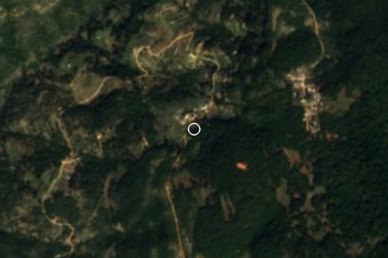
Yosondúa is a Mixteca municipal seat in the Tlaxiaco district, at 2,199 metres in the middle of the Sierra Madre del Sur. The town had 1,490 people in 2020, 839 women and 651 men in 435 homes, and is the largest of the 43 localities in a municipality of about 216 square kilometres. The second largest is Santa Catarina Cuanana, with 723.
The land is true mountain country: small flats, steep slopes and deep ravines. There is pine and oak forest, and lower down, where it turns warm, mango, avocado, banana and citrus grow; the temperate zone gives pears and peaches. The main river is the Esmeralda. Rain falls from June to September, 1,000 to 2,000 mm a year, and frost is possible in December and January. People live on maize, beans and wheat, greenhouse tomatoes, and sheep, goats, pigs and cattle.
Sunday is market day, and traders come from neighbouring municipalities: that is the best time to visit. Palm mats and tenates are woven here, the typical dish is mole negro with turkey, chicken or pork, the local drink is pulque and the music is the chilena played by brass band. The municipality has Mixtec archaeological sites called Yucu ñuu, Yucu yuu and Yucu mañu, though we could not confirm any visitor facilities. Elders still speak Mixtec and there are efforts to keep it alive among the young.
How to get to Santiago Yosondúa
Yosondúa is roughly 70 km south of Tlaxiaco and about 95 km from Oaxaca city, over mountain roads with many bends, so allow more time than the distances suggest.
From Oaxaca: Autobuses Fletes y Pasajes (Fypsa) has a direct bus to Tlaxiaco twice a day, in about 3 hours; you can also take ADO to Asunción Nochixtlán (about 1 h 20 min, frequent departures) and Fypsa from there to Tlaxiaco, about 1 h 30 min. Oaxaca's first-class terminal is on Calzada Niños Héroes de Chapultepec. From Mexico City there is no direct bus to Tlaxiaco; the route runs through Nochixtlán, about 8 hours.
Last stretch: we found no published timetables for vans or colectivos from Tlaxiaco to Yosondúa; ask in Tlaxiaco where they leave. By car, expect a long drive, fill the tank first, and start early if you want to return the same day.
Directions to Santiago Yosondúa on Google Maps
Distances are in a straight line; the road is usually longer.
Links open a partner site. We may earn a commission if you book, at no cost to you.
From the nearest cities to Santiago Yosondúa
- Tlapa · about 170 km by road, ~2 h 30 min
- Huajuapan de León · 173 km by road, 3 h 5 min
- Oaxaca · 229 km by road, 3 h 30 min
Drive times by road from OpenStreetMap, without traffic or stops. Times marked ~ are estimated from the straight-line distance.
Before you go to Santiago Yosondúa: hours, prices and tips
- Best time of day
- Sunday, market day. Wikipedia (en) · checked Oct 2026
- Best season
- Rains June to September; frost possible in December and January. Wikipedia (en) · checked Oct 2026
Hours and prices change, especially around holidays. Each fact links to where we checked it.
Visiting Santiago Yosondúa: what to see and do
Go to the Sunday market, with sellers from neighbouring municipalities.
Buy palm mats and tenates woven in the area.
Try mole negro with turkey and the regional pulque.
Listen to the brass band play chilenas at fiestas.
Ask at the town hall about the Yucu ñuu, Yucu yuu and Yucu mañu sites.
Walk the pine and oak forest around the town.
Plan your trip
Places to stay in Santiago Yosondúa
Compare hotels, posadas, and rentals in and around Santiago Yosondúa.
Tours & activities
Day trips around Teposcolula sometimes stop in Santiago Yosondúa; a tour is the easy way to see it without a car.
Rental cars
Pick up a car at OAX (Oaxaca): about 1 h 45 min by road to Teposcolula, then 71 km more to Santiago Yosondúa, on your own schedule.
Flights
The nearest airport with scheduled flights is Oaxaca (OAX), about 1 h 45 min by road from Teposcolula, the base for Santiago Yosondúa.
Mobile data
Signal can drop away from Teposcolula: download a map of the way to Santiago Yosondúa before you set out, or carry an eSIM with data.
Links open a partner site. We may earn a commission if you book, at no cost to you.
When to go to Santiago Yosondúa cool
Santiago Yosondúa shares the climate of Teposcolula, 71 km away. The best months to visit are January, February, March, and December.
See the month-by-month climate of Teposcolula
Weather in Santiago Yosondúa now and the next 7 days
Live forecast from Open-Meteo. Chance of rain is the day's highest.
The closest Pueblo Mágico: Teposcolula

Teposcolula is the Pueblo Mágico closest to Santiago Yosondúa, with places to stay, food, and more to see.
Also close to
- Juquila · Oaxaca · 77 km away
Closest to Santiago Yosondúa
-
San Miguel Ixcatlán · Town · 8 km away
-
Atalaya · Village · 9 km away
-
Chalcatongo de Hidalgo · Town · 18 km away
-
Santa Catarina Ticuá · Town · 22 km away
-
San Esteban Atatlahuca · Town · 24 km away
-
Yutanduchi de Guerrero · Town · 35 km away
-
Santo Tomás Ocotepec · Town · 36 km away
-
Putla Villa de Guerrero · Town · 41 km away

Near Santiago Yosondúa





Drive times by road from OpenStreetMap, without traffic. Times marked ~ are estimated from the straight-line distance.
Location from OpenStreetMap. Written by Puebloteca.