
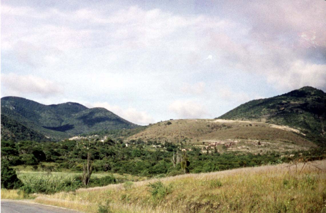
Town San Cristóbal Suchixtlahuaca, Oaxaca Mixteca of Oaxaca
Mixteca Alta town at 2,080 m near Coixtlahuaca: a 1698 church, the San Cristóbal fiesta on the last Sunday of July, and 327 residents.
From Tehuacán: 1 h 10 min by car (102 km by road) How to get there ↓
Near here
See everything nearby ↓



Plan your visit to San Cristóbal Suchixtlahuaca
Where to stay near San Cristóbal Suchixtlahuaca
Compare hotels, posadas and guest houses in San Cristóbal Suchixtlahuaca.
Tours to San Cristóbal Suchixtlahuaca
Day trips around Teposcolula sometimes stop in San Cristóbal Suchixtlahuaca; a tour is the easy way to see it without a car.
How to get to San Cristóbal Suchixtlahuaca
- From Tehuacán: about 1 h 10 min by road (~102 km)
- Nearest airport: Oaxaca (OAX), 1 h 45 min by car to Teposcolula
Links open a partner site. We may earn a commission if you book, at no cost to you.
About San Cristóbal Suchixtlahuaca
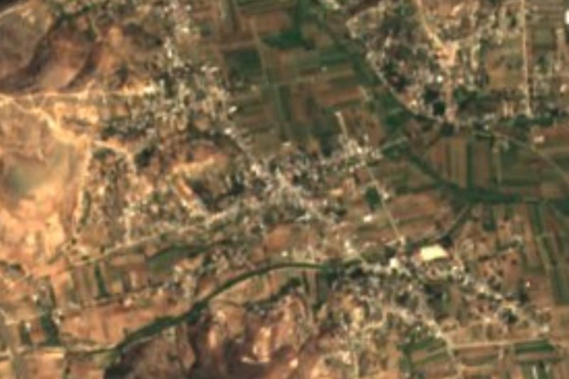
San Cristóbal Suchixtlahuaca lies in the Mixteca Alta at about 2,080 m, among bare hills and slopes of white stone. The name is read as "on the plain of flowers", and the town predates the Conquest: a royal decree recognised its lands in 1744, and in 1919 Zapatista guerrillas burned it. In 2020 it had 327 residents (299 in 2010 and 226 in 2005), spread between the centre and neighbourhoods such as La Costa, Zatuje, Sosola, the Barrio del Recibimiento and La Caseta; the municipality covers about 53 km².
The church dates from 1698 and was built by the townspeople themselves; it keeps a carved stone that stands for the viceroyalty's coat of arms. Around it you see Cerro de la Virgen, Cerro de León (named for its lion-like outline), Cerro Verde and, to the west, Cerro La Malva at about 2,460 m. Water is scarce: the Río Grande runs to the north and is dangerous in the rains, the Río de la Cruz flows only in season, and the town draws its drinking water from the springs El Jarro and Palo Soto. White-stone quarries supply the material for local houses. The municipality's best-known tree is El Sabino, which the community looks after as a heritage landmark.
The climate is mild and dry: about 16 °C on average and roughly 970 mm of rain a year, with hard winter frosts that have dropped to about 2 °C. Coyotes and skunks live in the hills, and gardens grow roses, calla lilies, dahlias and capulín trees.
The patron-saint fiesta for San Cristóbal falls on the last Sunday of July: it opens with calendas, then come masses, sports tournaments with neighbouring towns, an evening dance and a breakfast hosted by the authorities. Relatives living in Oaxaca, Veracruz and Mexico City come home for it. Everyday and festive food leans on pozole and barbacoa, and a maguey sweet called papalome used to be made here. Palm hats and tenates were once woven, though few people still do it.
How to get to San Cristóbal Suchixtlahuaca
Drive from Tehuacán: 1 h 10 min, 102 km
By road the town is about 114 km from Oaxaca city and a little over 1 h 15 min by car (approx.), climbing into the Mixteca Alta on the Oaxaca-Cuacnopalan toll road (135D) and the free highway through Asunción Nochixtlán and San Juan Bautista Coixtlahuaca. Coixtlahuaca, the district seat, is your reference point, about 4.5 km south of the town as the crow flies: the last stretch is short, but We found no colectivo or published timetable out to Suchixtlahuaca, so the practical move is a taxi from Coixtlahuaca or asking around the plaza.
By bus: Fypsa (Autobuses Fletes y Pasajes) runs from Oaxaca to Coixtlahuaca hourly, about 2 h 10 min; Fypsa also links Nochixtlán and Coixtlahuaca (around 40 min). ADO connects Oaxaca and Nochixtlán every 10 minutes (about 1 h 20 min). Check current times at fypsa.com.mx before leaving. From Mexico City it is about 7 h 30 min by bus or 4 h by car.
Teposcolula, the nearest Pueblo Mágico, is about 42 km away (approx. 1 h). The town has no registered lodging; the nearest options are in Coixtlahuaca, about 6 km off.
Directions to San Cristóbal Suchixtlahuaca on Google Maps
Distances are in a straight line; the road is usually longer.
Links open a partner site. We may earn a commission if you book, at no cost to you.
From the nearest cities to San Cristóbal Suchixtlahuaca
- Tehuacán · 102 km by road, 1 h 10 min
- Huajuapan de León · 69 km by road, 1 h 15 min
- Oaxaca · 114 km by road, 1 h 25 min
Drive times by road from OpenStreetMap, without traffic or stops. Times marked ~ are estimated from the straight-line distance.
Before you go to San Cristóbal Suchixtlahuaca: hours, prices and tips
- Best time of day
- Last Sunday of July: fiesta of San Cristóbal, with calendas, masses, sports, an evening dance and a breakfast hosted by the authorities. INAFED Enciclopedia de los Municipios · checked Oct 2026
- What to bring
- Warm layers: winter nights are frosty (lows near 2 °C recorded) and the town is at about 2,080 m. INAFED Enciclopedia de los Municipios · checked Oct 2026
Hours and prices change, especially around holidays. Each fact links to where we checked it.
Visiting San Cristóbal Suchixtlahuaca: what to see and do
Visit the 1698 church and the stone with the viceregal coat of arms.
See El Sabino, the tree the community protects.
Look out at Cerro de León and Cerro de la Virgen from the slopes.
Walk to the springs and the white-stone quarries.
Come for the San Cristóbal fiesta on the last Sunday of July.
Continue to Coixtlahuaca, about 4.5 km south.
Plan your trip
Places to stay in San Cristóbal Suchixtlahuaca
Compare hotels, posadas, and rentals in and around San Cristóbal Suchixtlahuaca.
Tours & activities
Day trips around Teposcolula sometimes stop in San Cristóbal Suchixtlahuaca; a tour is the easy way to see it without a car.
Rental cars
Pick up a car at OAX (Oaxaca): about 1 h 45 min by road to Teposcolula, then 27 km more to San Cristóbal Suchixtlahuaca, on your own schedule.
Flights
The nearest airport with scheduled flights is Oaxaca (OAX), about 1 h 45 min by road from Teposcolula, the base for San Cristóbal Suchixtlahuaca.
Mobile data
Signal can drop away from Teposcolula: download a map of the way to San Cristóbal Suchixtlahuaca before you set out, or carry an eSIM with data.
Links open a partner site. We may earn a commission if you book, at no cost to you.
When to go to San Cristóbal Suchixtlahuaca cool
San Cristóbal Suchixtlahuaca shares the climate of Teposcolula, 27 km away. The best months to visit are January, February, March, and December.
See the month-by-month climate of Teposcolula
Weather in San Cristóbal Suchixtlahuaca now and the next 7 days
Live forecast from Open-Meteo. Chance of rain is the day's highest.
The closest Pueblo Mágico: Teposcolula

Teposcolula is the Pueblo Mágico closest to San Cristóbal Suchixtlahuaca, with places to stay, food, and more to see.
Also close to
- Huautla · Oaxaca · 70 km away
Closest to San Cristóbal Suchixtlahuaca
-
Coixtlahuaca · Landmark · 5 km away
-
Villa Tejúpam de la Unión · Town · 13 km away
-
Santa Magdalena Jicotlán · Town · 14 km away
-
Tlacotepec Plumas · Town · 16 km away
-
Concepción Buenavista · Town · 17 km away
-
Teotongo · Town · 18 km away
-
San Juan Teposcolula · Town · 21 km away
-
Yanhuitlán · Landmark · 22 km away


Near San Cristóbal Suchixtlahuaca






Drive times by road from OpenStreetMap, without traffic. Times marked ~ are estimated from the straight-line distance.
Location from OpenStreetMap. Written by Puebloteca.