

Town Tlacotepec Plumas, Oaxaca Mixteca of Oaxaca
Chocho-area seat in the Mixteca at 2,100 m in the Coixtlahuaca district; once Ihuitlán, a feather-tribute town of the Mexica.
From Tehuacán: 1 h 5 min by car (91 km by road) How to get there ↓
Near here
See everything nearby ↓


Plan your visit to Tlacotepec Plumas
Where to stay near Tlacotepec Plumas
Compare hotels, posadas and guest houses in Tlacotepec Plumas.
Tours to Tlacotepec Plumas
Day trips around Teposcolula sometimes stop in Tlacotepec Plumas; a tour is the easy way to see it without a car.
How to get to Tlacotepec Plumas
- From Tehuacán: about 1 h 5 min by road (~91 km)
- Nearest airport: Oaxaca (OAX), 1 h 45 min by car to Teposcolula
Links open a partner site. We may earn a commission if you book, at no cost to you.
About Tlacotepec Plumas
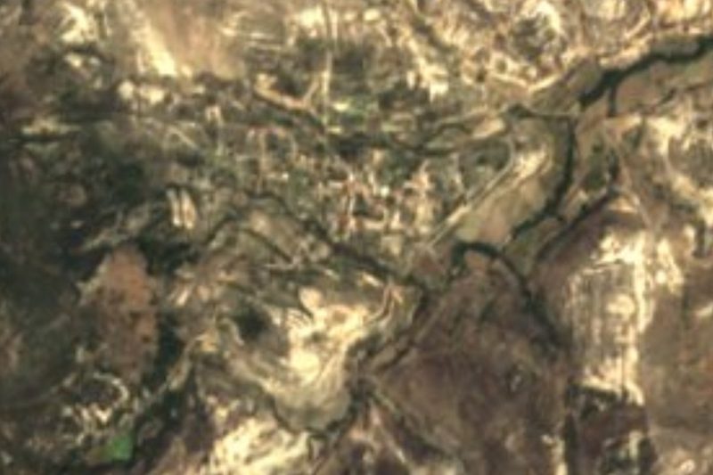
Tlacotepec Plumas is a small seat in the Coixtlahuaca district of the Mixteca, at roughly 2,130 metres. Its Nahuatl name, "on the middle hill" or split hill, was given by the Mexica; in the Chocho language it is Jna Ruñena. Within its territory a site called El Potrero has yielded stone axes and pottery from the first settlers, a Chocho group tied to the kingdom of Coixtlahuaca.
The "Plumas" comes from tribute: when the Mexica conquered the region under Moctezuma Ilhuicamina, the community, then called Ihuitlán, was required to deliver feathers, because the local birds had showy plumage. In 1901 Ihuitlán split into two municipalities, Tlacotepec Plumas and Santiago Ihuitlán Plumas. The seat is recorded as founded in 1868.
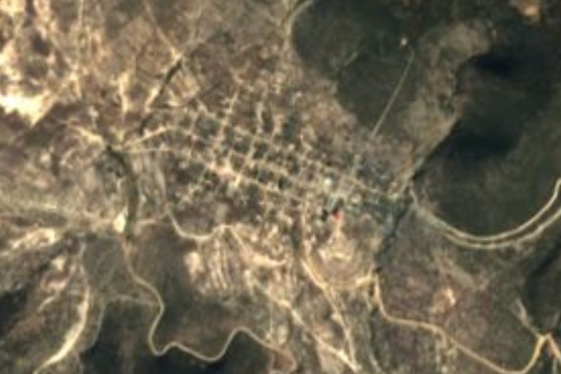
Today it is a very small place. The population fell from 1,217 in 1900 to 333 in 2020, with a bump to 881 in 1980. The municipality has only four localities: the seat, Organal (60), Río Garza (14) and Rancho Potrero (3). There is no organised tourism or visitor service; transport comes from the nearby towns of Coixtlahuaca, Tepelmeme and Tejupan. It suits someone touring the region's small villages with no schedule.
How to get to Tlacotepec Plumas
Drive from Tehuacán: 1 h 5 min, 91 km
Tlacotepec Plumas is in the Coixtlahuaca district, about 136 km by road from Oaxaca city, around 1 h 30 by car according to route planners. There is no direct bus from Oaxaca. Fypsa runs an hourly Oaxaca-Tepelmeme service (about 2 h 40 per timetables that may have changed); another option is ADO from Oaxaca to Asunción Nochixtlán (every 10 minutes, about 1 h 21) and then Fypsa to San Juan Bautista Coixtlahuaca (40 minutes, hourly). The last leg to Tlacotepec Plumas, from Tepelmeme or Coixtlahuaca, is not documented that We could find: ask at the stop about local taxis or trucks, or drive. From Mexico City there is a bus via Tehuacán to Tepelmeme, about 7 hours. Bring cash and check the road before leaving.
Directions to Tlacotepec Plumas on Google Maps
Distances are in a straight line; the road is usually longer.
Links open a partner site. We may earn a commission if you book, at no cost to you.
From the nearest cities to Tlacotepec Plumas
- Tehuacán · 91 km by road, 1 h 5 min
- Huajuapan de León · 69 km by road, 1 h 10 min
- Oaxaca · 136 km by road, 1 h 40 min
Drive times by road from OpenStreetMap, without traffic or stops. Times marked ~ are estimated from the straight-line distance.
Visiting Tlacotepec Plumas: what to see and do
Walk the village and look for the view of the hill that gives it its name.
Ask about El Potrero, where stone axes and ancient pottery have turned up.
Follow the tracks between maize plots and ravines at the foot of the hills.
Combine it with Coixtlahuaca, a short way off, and its big Dominican complex.
Bring a camera for the wide Mixteca Alta landscapes.
Plan your trip
Places to stay in Tlacotepec Plumas
Compare hotels, posadas, and rentals in and around Tlacotepec Plumas.
Tours & activities
Day trips around Teposcolula sometimes stop in Tlacotepec Plumas; a tour is the easy way to see it without a car.
Rental cars
Pick up a car at OAX (Oaxaca): about 1 h 45 min by road to Teposcolula, then 38 km more to Tlacotepec Plumas, on your own schedule.
Flights
The nearest airport with scheduled flights is Oaxaca (OAX), about 1 h 45 min by road from Teposcolula, the base for Tlacotepec Plumas.
Mobile data
Signal can drop away from Teposcolula: download a map of the way to Tlacotepec Plumas before you set out, or carry an eSIM with data.
Links open a partner site. We may earn a commission if you book, at no cost to you.
When to go to Tlacotepec Plumas cool
Tlacotepec Plumas shares the climate of Teposcolula, 38 km away. The best months to visit are January, February, March, and December.
See the month-by-month climate of Teposcolula
Weather in Tlacotepec Plumas now and the next 7 days
Live forecast from Open-Meteo. Chance of rain is the day's highest.
The closest Pueblo Mágico: Teposcolula

Teposcolula is the Pueblo Mágico closest to Tlacotepec Plumas, with places to stay, food, and more to see.
Also close to
- Huautla · Oaxaca · 69 km away
Closest to Tlacotepec Plumas
-
Concepción Buenavista · Town · 5 km away
-
Santa Magdalena Jicotlán · Town · 6 km away
-
San Cristóbal Suchixtlahuaca · Town · 16 km away
-
Coixtlahuaca · Landmark · 18 km away
-
Teotongo · Town · 18 km away
-
Villa Tejúpam de la Unión · Town · 21 km away
-
Santa María Ixcatlán · Town · 25 km away
-
Santiago Huajolotitlán · Town · 32 km away

Near Tlacotepec Plumas




Drive times by road from OpenStreetMap, without traffic. Times marked ~ are estimated from the straight-line distance.
Location from OpenStreetMap. Written by Puebloteca.