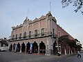
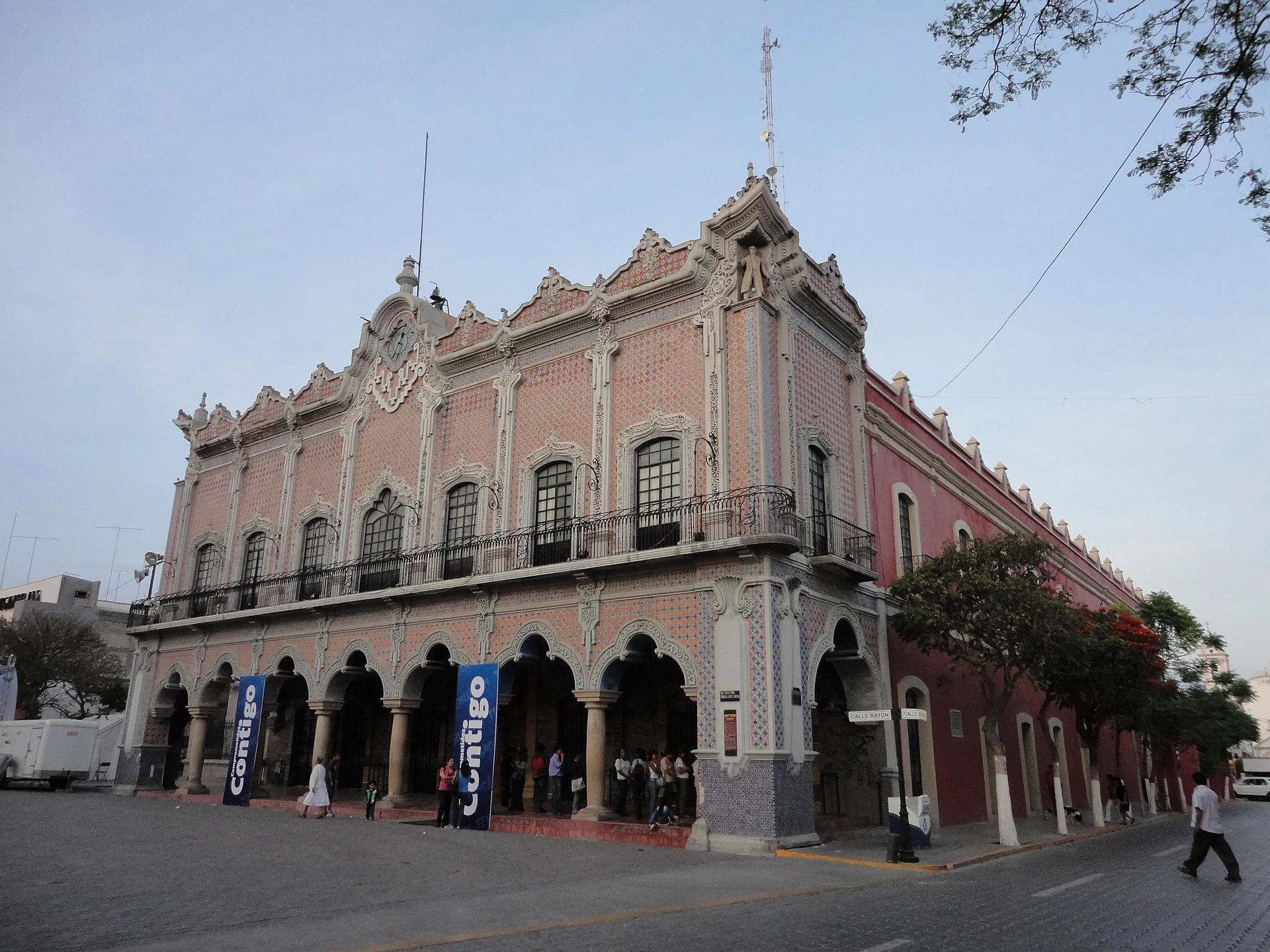
City Tehuacán, Puebla Municipality of Tehuacán Tehuacán Valley
Puebla's second city, in the valley where some of the oldest domesticated maize was found; known for its springs and mineral water.
From Orizaba: 1 h 5 min by car (68 km by road) How to get there ↓
Near here



Plan your visit to Tehuacán
Where to stay near Tehuacán
Compare hotels, posadas and guest houses in Tehuacán.
Tours to Tehuacán
Day trips and guided outings from Orizaba often include Tehuacán; with a local guide you can get there without a car.
 From Puebla: Private Tour to Tehuacán Biosphere Reserve + mezcal
From US$251
How to get to Tehuacán
- From Orizaba: about 1 h 5 min by road (~68 km)
- Nearest airport: Veracruz (VER), 1 h 42 min by car to Orizaba
Links open a partner site. We may earn a commission if you book, at no cost to you.
Popular tours to Tehuacán
Tours, prices and ratings from Viator, checked weekly. We may earn a commission if you book.
About Tehuacán
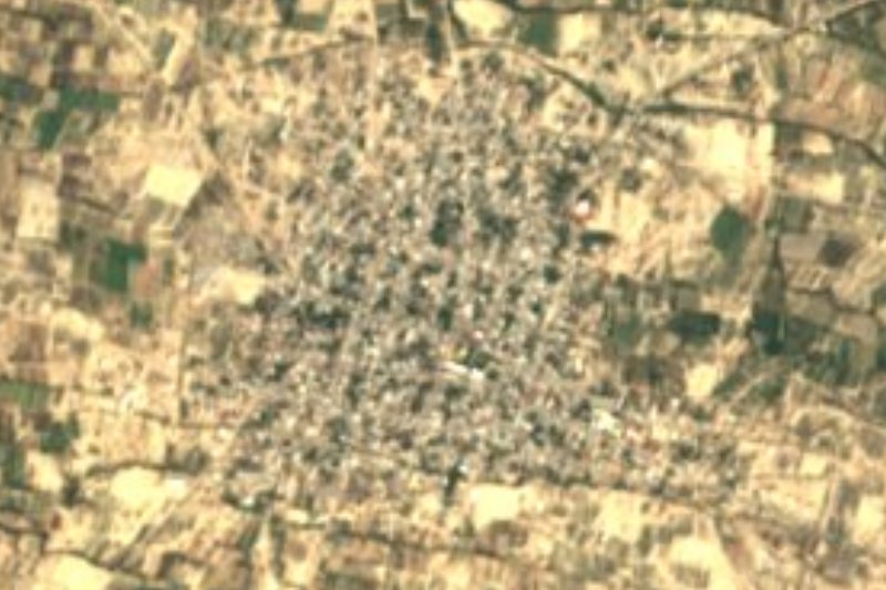
Tehuacán is the second-largest city in the state of Puebla and seat of the municipality of the same name, about 130 km from the state capital. It sits in a valley ringed by mountains at about 1,640 m, and with Santiago Miahuatlán forms a metropolitan area. The city had 248,716 people in 2010. It is nicknamed the "City of Health" for its springs and "Tehuacán of the Pomegranates".
The Tehuacán valley is known as the cradle of maize. In the 1960s the archaeologist Richard MacNeish excavated caves in the area, such as the Coxcatlán cave, and found thousands of maize remains; early estimates said 7000 BC, though later studies dated the cobs to around 4600 BC. The original people were Popoloca. The present city was settled in the 1560s, when its inhabitants moved down from Calcahualco, Old Tehuacán, and in 1660 the Indigenous townspeople bought from the Crown the title of Ciudad de Indios, under the name Santa María de la Concepción Tehuacán y Cueva. During the War of Independence it was a headquarters for Morelos, Nicolás Bravo and Manuel Mier y Terán, and in 1879 Porfirio Díaz opened the rail branch linking it to Esperanza.
By the late 19th century the city was famous for its mineral waters; the springs and underground galleries of Peñafiel and Garci Crespo made "agua de Tehuacán" a household name, and Peñafiel still draws water from its wells. Today it is also a centre of denim garment assembly. Downtown are the cathedral, from 1724, the church of El Carmen, whose former convent houses the Museo del Valle de Tehuacán with early maize remains, the Miguel Romero Mineralogical Museum, and the town hall with murals on the city's history. In October and November cooks make mole de caderas, the region's signature goat dish.
How to get to Tehuacán
Drive from Orizaba: 1 h 5 min, 68 km
Tehuacán is about 130 km from Puebla city, in the south-east of the state. ADO and Autobuses Unidos run buses between Puebla's CAPU terminal and Tehuacán; the trip takes about 2 hours. From Mexico City, ADO buses leave the TAPO (Terminal de Oriente) and take about 4 hours. By car, follow the toll highways from Puebla toward Oaxaca. Orizaba, the nearest Pueblo Mágico, is about 53 km away in a straight line, and Ajalpan, Altepexi and San Gabriel Chilac lie 15 to 20 km away in the same valley.
Directions to Tehuacán on Google Maps
Distances are in a straight line; the road is usually longer.
Links open a partner site. We may earn a commission if you book, at no cost to you.
From the nearest cities to Tehuacán
- Orizaba · 68 km by road, 1 h 5 min
- Córdoba · 91 km by road, 1 h 20 min
- Huamantla · 128 km by road, 1 h 40 min
Drive times by road from OpenStreetMap, without traffic or stops. Times marked ~ are estimated from the straight-line distance.
What to see in Tehuacán 2
Sights with their own page, closest to the centre first.
-
Museo del Valle de Tehuacán · Landmark · in the centre
INAH museum in Tehuacán's former Carmelite convent, devoted to the story of maize and the finds from the Coxcatlán caves. -
Tehuacán el Viejo (Ndachjian) · Landmark · 5 km from the centre
Old Popoloca capital on a mesa 6 km from Tehuacán, with 644 recorded structures and the first temple to Xipe Tótec ever found in Mexico.
Map of Tehuacán
Neighbourhoods and villages of Tehuacán
Part of Tehuacán or just outside it, closest first.
-
San Pablo Tepetzingo · Village · 7 km from the centre
Village in the municipality of Tehuacán, "on the little hill", about 7 km from the city, in the arid valley known as the cradle of maize. -
Magdalena Cuayucatepec · Town · 14 km from the centre
The second-largest community in Tehuacán municipality, a sub-municipality at 1,733 m northwest of the city; 10,889 people in 2020. -
Santa Ana Teloxtoc · Village · 22 km from the centre
Village in the municipality of Tehuacán, "in the stone cave", where the Salitrillo ravine holds Cretaceous dinosaur tracks.

Day trips and tours from Tehuacán
The closest Pueblos Mágicos and places to visit, with the drive from Tehuacán and tours that leave from it.


All 30 Pueblos Mágicos within a weekend of Tehuacán →
Times marked ~ are estimated from the distance. Links open a partner site. We may earn a commission if you book, at no cost to you.
Before you go: getting to and around Tehuacán
- The nearest airport is Veracruz (VER).
- The best months to go are February, March, April, and December.
- 4 of the places on this page are more than 3 km from the centre: take a taxi, a ride-hailing app or a local bus.
- For day trips a rental car gives the most freedom; the tours above leave from Tehuacán.
Visiting Tehuacán: what to see and do
The Museo del Valle de Tehuacán in the former Carmelite convent, with early maize remains.
The Miguel Romero Mineralogical Museum.
The cathedral, from 1724, and the church of El Carmen.
The town hall murals, including Tehuacán and its five regions.
Parque Juárez.
Mole de caderas, in season in October and November.
Plan your trip
Places to stay in Tehuacán
Compare hotels, posadas, and rentals in and around Tehuacán.
Tours & activities
Day trips and guided outings from Orizaba often include Tehuacán; with a local guide you can get there without a car.
Rental cars
Pick up a car at VER (Veracruz): about 1 h 42 min by road to Orizaba, then 53 km more to Tehuacán, on your own schedule.
Flights
The nearest airport with scheduled flights is Veracruz (VER), about 1 h 42 min by road from Orizaba, the base for Tehuacán.
Mobile data
Signal can drop away from Orizaba: download a map of the way to Tehuacán before you set out, or carry an eSIM with data.
Links open a partner site. We may earn a commission if you book, at no cost to you.
When to go to Tehuacán mild
Tehuacán shares the climate of Orizaba, 53 km away. The best months to visit are February, March, April, and December.
See the month-by-month climate of Orizaba
Weather in Tehuacán now and the next 7 days
Live forecast from Open-Meteo. Chance of rain is the day's highest.
The closest Pueblo Mágico: Orizaba

Orizaba is the Pueblo Mágico closest to Tehuacán, with places to stay, food, and more to see.
Also close to
- Córdoba · Veracruz · 68 km away
- Huautla · Oaxaca · 68 km away
- Coscomatepec · Veracruz · 77 km away
Near Tehuacán


Drive times by road from OpenStreetMap, without traffic. Times marked ~ are estimated from the straight-line distance.
Location from OpenStreetMap. Written by Puebloteca.