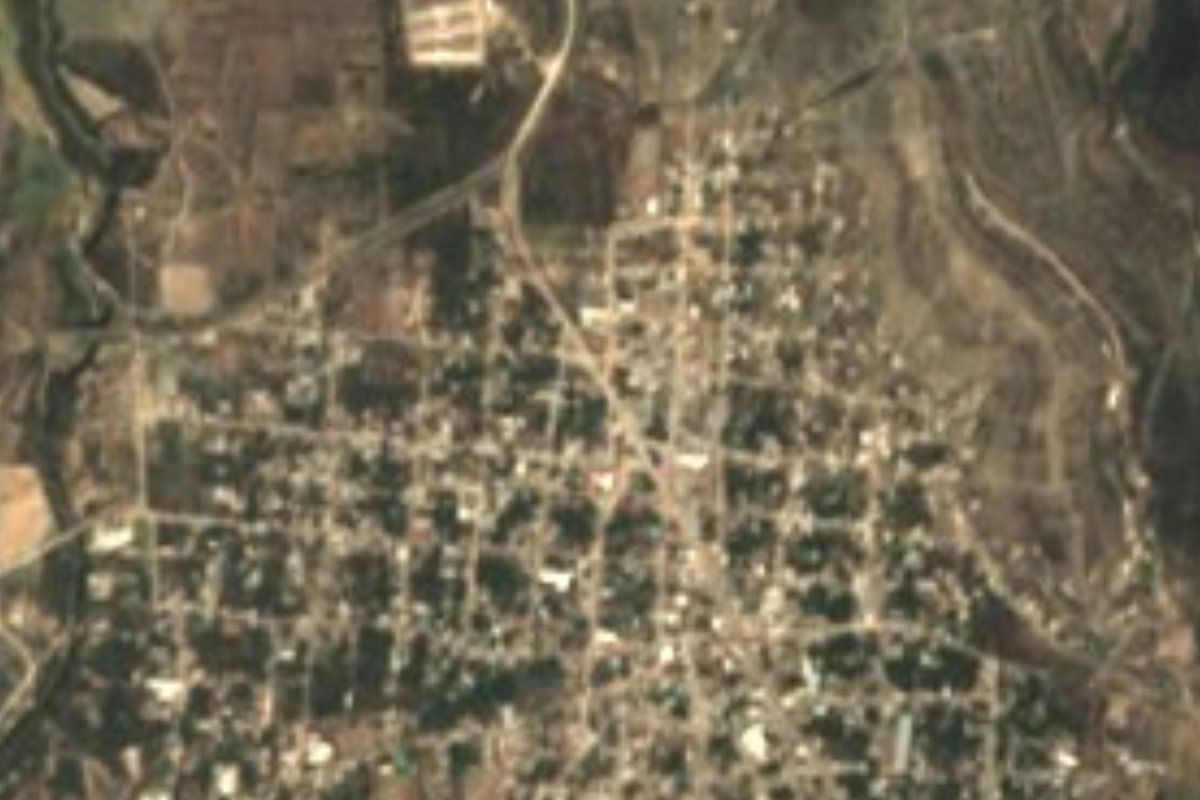
Village Santiago Miahuatlán, Puebla Tehuacán Valley
Town in the Tehuacán Valley known for turkey mole made with the sweet-hot Miahuatlán chile and its fair on the first Sunday of August.
From Tehuacán: 15 min by car (13 km by road) How to get there ↓
Near here
See everything nearby ↓


Plan your visit to Santiago Miahuatlán
Where to stay near Santiago Miahuatlán
Compare hotels, posadas and guest houses in Santiago Miahuatlán.
Tours to Santiago Miahuatlán
Day trips and guided outings from Orizaba often include Santiago Miahuatlán; with a local guide you can get there without a car.
 Tours from Puebla City
Africam Safari Zoo Admission with Transportation
★ 4.8 (87) · From US$35
How to get to Santiago Miahuatlán
- From Tehuacán: about 15 min by road (~13 km)
- Nearest airport: Veracruz (VER), 1 h 42 min by car to Orizaba
Links open a partner site. We may earn a commission if you book, at no cost to you.
Tours from Puebla City, near Santiago Miahuatlán


Tours, prices and ratings from Viator, checked weekly. We may earn a commission if you book.
About Santiago Miahuatlán
What makes this town different is a chilli. Miahuatlán turkey mole is made with the region's own chilli, grown around Miahuatlán, Cuayucatepec and Tepanco de López, which unlike the poblano is both hot and sweet, leaving a sweet-and-sour taste. It also takes cacao, tablet chocolate, ancho and pasilla chillies, almonds, plantain, walnuts, raisins, sesame, spices and cocoles baked by the town's bakers. The table goes on with mole-pipián, tamales, tlaxcales, totopos, chileatole, hip or backbone mole and pit barbacoa. Miahuatlán, "among ears of maize", is the seat of its municipality and had 16,426 inhabitants in 2020, at 1,781 metres, only 12 km from Tehuacán, whose metropolitan area includes it.
In the 15th century Popoloca, Mazatec and Mixtec groups lived here, conquered first by Xelhua and later by the Mexica; in colonial times it was an encomienda, and as part of the old Tehuacán district it became a free municipality in 1895. The parish church dedicated to Señor Santiago dates from the 16th century. The big celebration is 25 July, the feast of Saint James the Apostle, with prayers, processions, fireworks, fairground rides and food stalls, when part of the harvest is offered to the saint so the next year's crops do well. The first Sunday of August brings the annual fair, the busiest, as people who emigrated to Mexico City, Veracruz and Oaxaca return. The traditional dances are the Tetuanís and the Twelve Peers of France.
The municipality covers 94.29 km² and climbs from 1,680 to 2,800 metres, from the valley floor to the first foothills of the Sierra de Zongolica. It is dry, warm country: averages of 14 to 20 °C and just 400 to 600 mm of rain, with seasonal streams running to the Salado river in the Papaloapan basin. Over half the land is desert scrub, and remnants of pine and oak survive higher up. It borders Chapulco, Nicolás Bravo, Tepanco de López and, on three sides, Tehuacán. People here weave palm and reed, embroider dresses by hand and make pumpkin sweets and peach, tejocote and apple preserves; they drink atole, chocolate, aguardiente and mezcal.
How to get to Santiago Miahuatlán
Drive from Tehuacán: 15 min, 13 km
Access is through Tehuacán, only 12 km away. Combis of the Alianza Miahuateca route shuttle between Santiago Miahuatlán and Tehuacán along the Tehuacán–Orizaba federal highway, passing the Villa Alegría area. Tehuacán in turn has good bus links with Puebla's CAPU, about 97 km away in a straight line; Orizaba is 48 km away.
Directions to Santiago Miahuatlán on Google Maps
Distances are in a straight line; the road is usually longer.
Links open a partner site. We may earn a commission if you book, at no cost to you.
From the nearest cities to Santiago Miahuatlán
Drive times by road from OpenStreetMap, without traffic or stops. Times marked ~ are estimated from the straight-line distance.
Visiting Santiago Miahuatlán: what to see and do
The 16th-century parish church of Señor Santiago and the bandstand on the main square.
The feast of Saint James on 25 July and the fair on the first Sunday of August.
Miahuatlán turkey mole and cocoles from the town's bakeries.
Palm and reed weaving and hand-embroidered dresses.
Plan your trip
Places to stay in Santiago Miahuatlán
Compare hotels, posadas, and rentals in and around Santiago Miahuatlán.
Tours & activities
Day trips and guided outings from Orizaba often include Santiago Miahuatlán; with a local guide you can get there without a car.
Rental cars
Pick up a car at VER (Veracruz): about 1 h 42 min by road to Orizaba, then 48 km more to Santiago Miahuatlán, on your own schedule.
Flights
The nearest airport with scheduled flights is Veracruz (VER), about 1 h 42 min by road from Orizaba, the base for Santiago Miahuatlán.
Mobile data
Signal can drop away from Orizaba: download a map of the way to Santiago Miahuatlán before you set out, or carry an eSIM with data.
Links open a partner site. We may earn a commission if you book, at no cost to you.
When to go to Santiago Miahuatlán mild
Santiago Miahuatlán shares the climate of Orizaba, 48 km away. The best months to visit are February, March, April, and December.
See the month-by-month climate of Orizaba
Weather in Santiago Miahuatlán now and the next 7 days
Live forecast from Open-Meteo. Chance of rain is the day's highest.
The closest Pueblo Mágico: Orizaba

Orizaba is the Pueblo Mágico closest to Santiago Miahuatlán, with places to stay, food, and more to see.
Also close to
- Córdoba · Veracruz · 65 km away
- Coscomatepec · Veracruz · 71 km away
- Huautla · Oaxaca · 78 km away
Closest to Santiago Miahuatlán
-
Magdalena Cuayucatepec · Town · 5 km away
-
Chapulco · Town · 8 km away
-
Azumbilla · Village · 11 km away
-
Museo del Valle de Tehuacán · Landmark · 11 km away
-
San Bartolo Teontepec · Village · 11 km away
-
Tehuacán · City · 11 km away
-
Tepanco de López · Village · 12 km away
-
San Luis Temalacayuca · Village · 13 km away


Near Santiago Miahuatlán






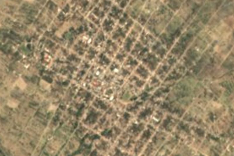

Drive times by road from OpenStreetMap, without traffic. Times marked ~ are estimated from the straight-line distance.
Location from OpenStreetMap. Written by Puebloteca.