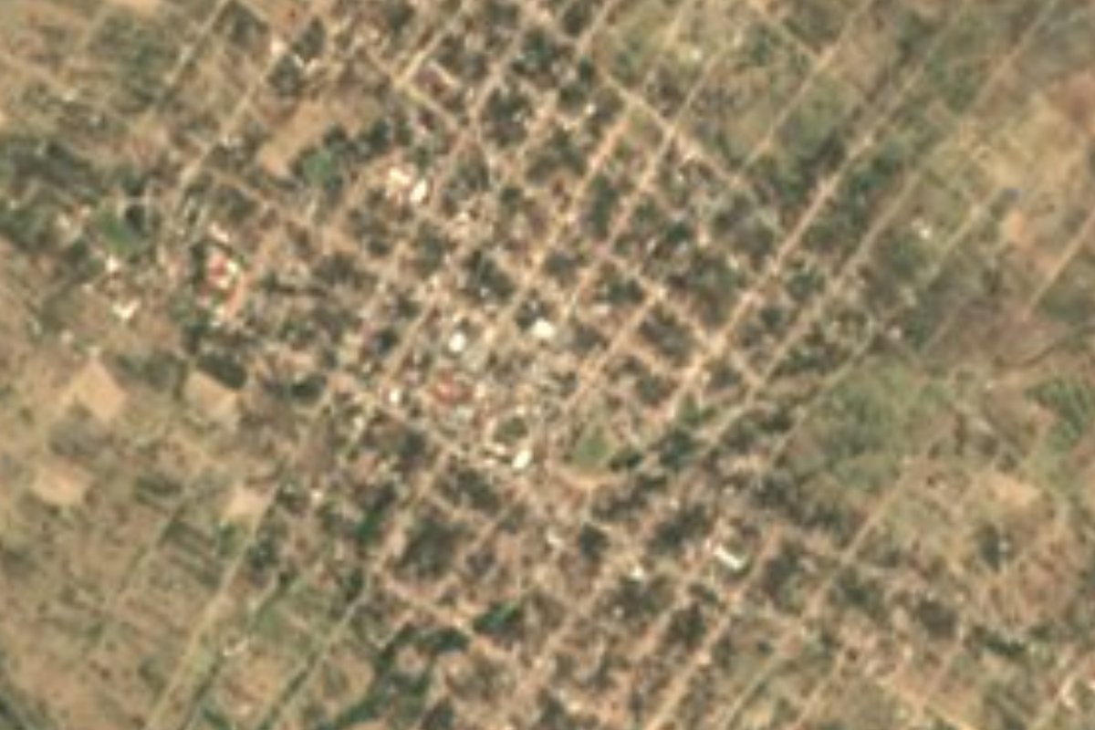
Village Tlacotepec de Benito Juárez, Puebla Municipality of Tlacotepec de Benito Juárez Tehuacán Valley
The largest community in Tlacotepec de Benito Juárez, home to over 10,000 people on the semi-arid uplands between Tehuacán and Palmar de Bravo.
From Tehuacán: 40 min by car (38 km by road) How to get there ↓
Near here
See everything nearby ↓


Plan your visit to San Marcos Tlacoyalco
Where to stay near San Marcos Tlacoyalco
Compare hotels, posadas and guest houses in San Marcos Tlacoyalco.
Tours to San Marcos Tlacoyalco
Day trips and guided outings from Orizaba often include San Marcos Tlacoyalco; with a local guide you can get there without a car.
How to get to San Marcos Tlacoyalco
- From Tehuacán: about 40 min by road (~38 km)
- Nearest airport: Veracruz (VER), 1 h 42 min by car to Orizaba
Links open a partner site. We may earn a commission if you book, at no cost to you.
About San Marcos Tlacoyalco
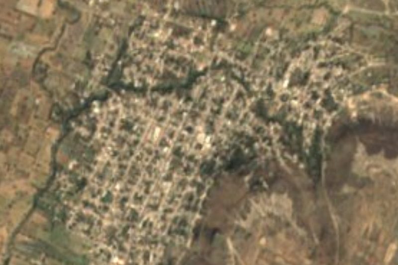
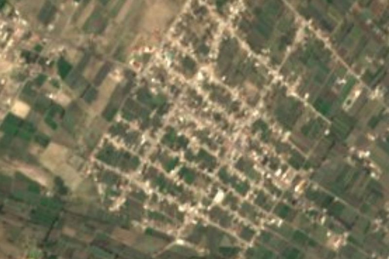
With 10,509 residents in 2020, San Marcos Tlacoyalco outnumbers the municipal seat itself and is the largest community in Tlacotepec de Benito Juárez. Its name has two possible Nahuatl readings: "in the water of the foxes", if it comes from tlalcoyotl and atl, or "in the ring of rods", if it is built from tlacotl and yahualli; the question remains open. The patron is Mark the Evangelist. The town sits at 1,948 meters, 33 km from Tehuacán, 56 km from Orizaba and about 76 km from the city of Puebla, in the southeast of the state, in the area known as the Tehuacán and Sierra Negra region.
Tlacotepec is a large municipality of about 400 km², ranging from 1,880 to 2,900 meters. It borders Yehualtepec, Palmar de Bravo, Cañada Morelos, Tepanco de López, Juan N. Méndez and Xochitlán Todos Santos, and had 49 communities in 2020. This is where the dry landscape of the Tehuacán valley begins: nearly two thirds of the land has a temperate semi-arid climate, averages run between 12 and 18 °C, and only 400 to 800 mm of rain falls each year. Streams are seasonal, and most of the runoff heads to the Salado River in the Papaloapan basin, the rest to the Atoyac. About half of the land is farmed and nearly 39% is scrub.
The municipality's most striking feature is its Indigenous weight: INEGI counts more than 10,800 speakers of native languages, among them Popoloca, Nahuatl, Mazatec and Mixtec. The municipal seat keeps the 16th-century church of Santa Cruz and a house on Avenida Juárez that served as Benito Juárez's office for three days, which explains the municipality's surname. Santa María la Alta, also in the municipality, weaves hats and other goods from palm. On the table you will find mole poblano, barbacoa and tlacoyos, pitaya and xoconostle sweets, and the ever-present pulque.
How to get to San Marcos Tlacoyalco
Drive from Tehuacán: 40 min, 38 km
Tlacoyalco lies about 76 km in a straight line from Puebla city and 33 km from Tehuacán. Take the Puebla–Orizaba highway to the Palmar de Bravo area, then roads south toward Tlacotepec; from Tehuacán, head north on the federal road. Orizaba is 56 km away.
Directions to San Marcos Tlacoyalco on Google Maps
Distances are in a straight line; the road is usually longer.
Links open a partner site. We may earn a commission if you book, at no cost to you.
From the nearest cities to San Marcos Tlacoyalco
- Tehuacán · 38 km by road, 40 min
- Orizaba · 95 km by road, 1 h 25 min
- Puebla · 96 km by road, 1 h 25 min
Drive times by road from OpenStreetMap, without traffic or stops. Times marked ~ are estimated from the straight-line distance.
Visiting San Marcos Tlacoyalco: what to see and do
Central Tlacoyalco and its church of St Mark.
The 16th-century church of Santa Cruz and the Juárez house on Avenida Juárez in Tlacotepec.
The palm weaving of Santa María la Alta.
Plan your trip
Places to stay in San Marcos Tlacoyalco
Compare hotels, posadas, and rentals in and around San Marcos Tlacoyalco.
Tours & activities
Day trips and guided outings from Orizaba often include San Marcos Tlacoyalco; with a local guide you can get there without a car.
Rental cars
Pick up a car at VER (Veracruz): about 1 h 42 min by road to Orizaba, then 56 km more to San Marcos Tlacoyalco, on your own schedule.
Flights
The nearest airport with scheduled flights is Veracruz (VER), about 1 h 42 min by road from Orizaba, the base for San Marcos Tlacoyalco.
Mobile data
Signal can drop away from Orizaba: download a map of the way to San Marcos Tlacoyalco before you set out, or carry an eSIM with data.
Links open a partner site. We may earn a commission if you book, at no cost to you.
When to go to San Marcos Tlacoyalco mild
San Marcos Tlacoyalco shares the climate of Orizaba, 56 km away. The best months to visit are February, March, April, and December.
See the month-by-month climate of Orizaba
Weather in San Marcos Tlacoyalco now and the next 7 days
Live forecast from Open-Meteo. Chance of rain is the day's highest.
The closest Pueblo Mágico: Orizaba

Orizaba is the Pueblo Mágico closest to San Marcos Tlacoyalco, with places to stay, food, and more to see.
Also close to
- Ixtenco · Tlaxcala · 73 km away
- Coscomatepec · Veracruz · 73 km away
- Córdoba · Veracruz · 75 km away
- Huamantla · Tlaxcala · 79 km away
Closest to San Marcos Tlacoyalco
-
Tlacotepec de Benito Juárez · Village · 5 km away
-
San Luis Temalacayuca · Village · 9 km away
-
Santa María la Alta · Village · 10 km away
-
Tepazolco · Village · 10 km away
-
San Miguel Zozutla · Village · 11 km away
-
San Gabriel Tetzoyocan · Village · 14 km away
-
Tepanco de López · Village · 14 km away
-
Ocotlán de Venustiano Carranza · Village · 15 km away

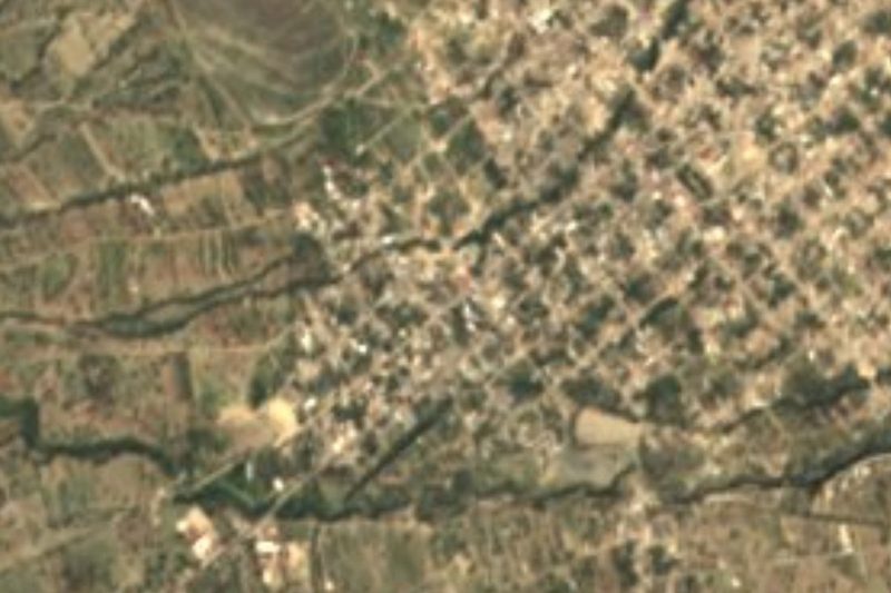
Near San Marcos Tlacoyalco

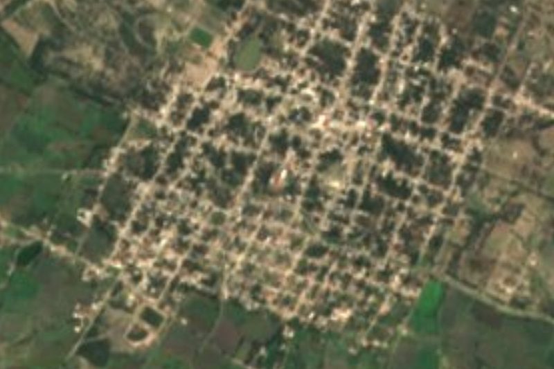

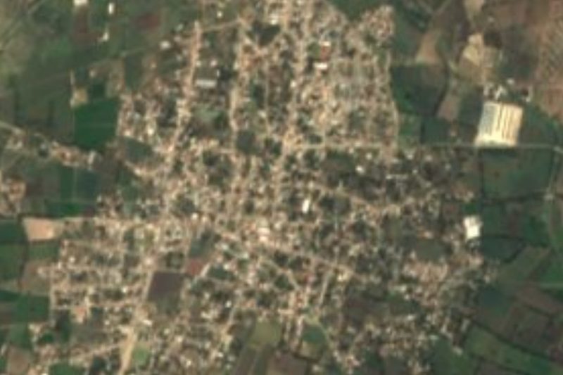


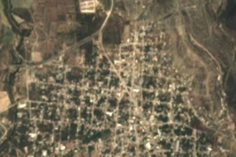



Drive times by road from OpenStreetMap, without traffic. Times marked ~ are estimated from the straight-line distance.
Location from OpenStreetMap. Written by Puebloteca.