Village Tlacotepec de Benito Juárez, Puebla Municipality of Tlacotepec de Benito Juárez Tehuacán Valley
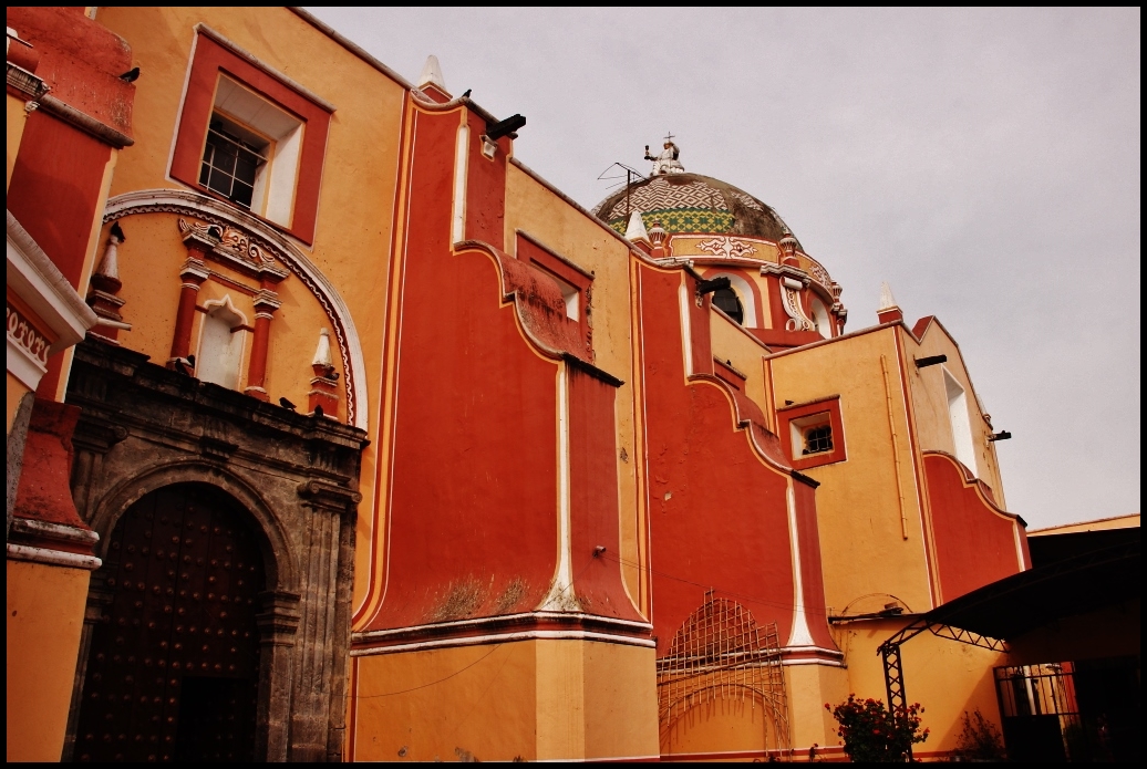
Shrine of the Señor del Calvario: every July thousands of pilgrims walk here from Puebla and Veracruz to this town "halfway up the hill".
From Tehuacán: 40 min by car (39 km by road) How to get there ↓
Near here
See everything nearby ↓

Plan your visit to Tlacotepec de Benito Juárez
Where to stay near Tlacotepec de Benito Juárez
Compare hotels, posadas and guest houses in Tlacotepec de Benito Juárez.
Tours to Tlacotepec de Benito Juárez
Day trips and guided outings from Orizaba often include Tlacotepec de Benito Juárez; with a local guide you can get there without a car.
 Tours from Puebla City
Africam Safari Zoo Admission with Transportation
★ 4.8 (87) · From US$35
How to get to Tlacotepec de Benito Juárez
- From Tehuacán: about 40 min by road (~39 km)
- Nearest airport: Veracruz (VER), 1 h 42 min by car to Orizaba
Links open a partner site. We may earn a commission if you book, at no cost to you.
Tours from Puebla City, near Tlacotepec de Benito Juárez


Tours, prices and ratings from Viator, checked weekly. We may earn a commission if you book.
About Tlacotepec de Benito Juárez
On the first Sunday of July the roads into Tlacotepec fill with walkers: thousands of pilgrims come on foot from across Puebla and neighbouring Veracruz to the Shrine of the Señor del Calvario, and the fair runs through the octave, until the second Sunday of the month. That is the best-known face of this town of 9,913 people in 2020, seat of the municipal government, at about 1,950 m and some 37 km in a straight line from Tehuacán. Its name joins tlahco, half, tepetl, hill, and the ending co: "halfway up the hill".
The area has been occupied for a very long time, since about 1300 BC, and in the 15th century it paid tribute to Tenochtitlan. Records place the secular clergy in Santa Cruz Tlacotepec in 1567, and in 1638 a República de Indios was formed with the same boundaries; in 1895 it was made a villa. From the colonial period comes the 16th-century church of the Santa Cruz shown in the photo. On Avenida Juárez stands a house that, according to local tradition, served for three days as Benito Juárez's own office. A recent episode made national news: in January 2018 the Supreme Court ordered the mayor and nine council members removed and criminally charged for failing to pay compensation for an expropriated plot, as the courts had required.
The municipality, nearly 400 km² in the Tehuacán and Sierra Negra region, rises from 1,880 to 2,900 m and borders Yehualtepec, Palmar de Bravo, Cañada Morelos, Tepanco de López, Juan N. Méndez and Xochitlán Todos Santos. The landscape is mostly semi-arid, with scrub and rain-fed fields; most of its runoff heads to the Salado River in the Papaloapan basin. In Santa María la Alta palm is woven into hats, and the table offers mole poblano, barbacoa and tlacoyos, pitaya and xoconoxtle sweets and pulque. Commons also records an archaeological site with pyramids, Teteles de Santo Nombre, within the municipality.
How to get to Tlacotepec de Benito Juárez
Drive from Tehuacán: 40 min, 39 km
Tlacotepec is about 70 km in a straight line from Puebla city, south of Palmar de Bravo and about 37 km from Tehuacán. Reach it from federal highway 150 Puebla–Tehuacán or the Orizaba toll road, taking state roads south; Orizaba is about 60 km away.
Directions to Tlacotepec de Benito Juárez on Google Maps
Distances are in a straight line; the road is usually longer.
Links open a partner site. We may earn a commission if you book, at no cost to you.
From the nearest cities to Tlacotepec de Benito Juárez
- Tehuacán · 39 km by road, 40 min
- Puebla · 90 km by road, 1 h 20 min
- Orizaba · 93 km by road, 1 h 20 min
Drive times by road from OpenStreetMap, without traffic or stops. Times marked ~ are estimated from the straight-line distance.
Visiting Tlacotepec de Benito Juárez: what to see and do
The Shrine of the Señor del Calvario and its July fair.
The 16th-century church of the Santa Cruz.
The house on Avenida Juárez linked to Benito Juárez.
Santa María la Alta and its palm weaving.
Plan your trip
Places to stay in Tlacotepec de Benito Juárez
Compare hotels, posadas, and rentals in and around Tlacotepec de Benito Juárez.
Tours & activities
Day trips and guided outings from Orizaba often include Tlacotepec de Benito Juárez; with a local guide you can get there without a car.
Rental cars
Pick up a car at VER (Veracruz): about 1 h 42 min by road to Orizaba, then 60 km more to Tlacotepec de Benito Juárez, on your own schedule.
Flights
The nearest airport with scheduled flights is Veracruz (VER), about 1 h 42 min by road from Orizaba, the base for Tlacotepec de Benito Juárez.
Mobile data
Signal can drop away from Orizaba: download a map of the way to Tlacotepec de Benito Juárez before you set out, or carry an eSIM with data.
Links open a partner site. We may earn a commission if you book, at no cost to you.
When to go to Tlacotepec de Benito Juárez mild
Tlacotepec de Benito Juárez shares the climate of Orizaba, 60 km away. The best months to visit are February, March, April, and December.
See the month-by-month climate of Orizaba
Weather in Tlacotepec de Benito Juárez now and the next 7 days
Live forecast from Open-Meteo. Chance of rain is the day's highest.
The closest Pueblo Mágico: Orizaba

Orizaba is the Pueblo Mágico closest to Tlacotepec de Benito Juárez, with places to stay, food, and more to see.
Also close to
- Ixtenco · Tlaxcala · 70 km away
- Huamantla · Tlaxcala · 75 km away
- Coscomatepec · Veracruz · 77 km away
- Córdoba · Veracruz · 79 km away
Closest to Tlacotepec de Benito Juárez
-
San Marcos Tlacoyalco · Village · 5 km away
-
Tepazolco · Village · 5 km away
-
San Miguel Zozutla · Village · 8 km away
-
Santa María la Alta · Village · 9 km away
-
San Gabriel Tetzoyocan · Village · 10 km away
-
Ocotlán de Venustiano Carranza · Village · 12 km away
-
Yehualtepec · Village · 12 km away
-
Xochitlán Todos Santos · Village · 13 km away

Near Tlacotepec de Benito Juárez


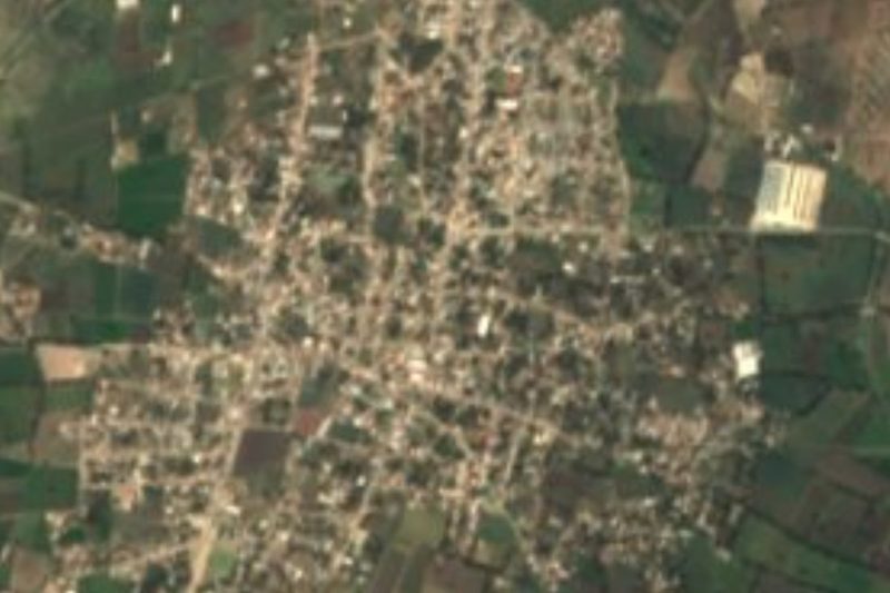
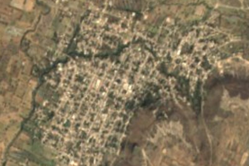
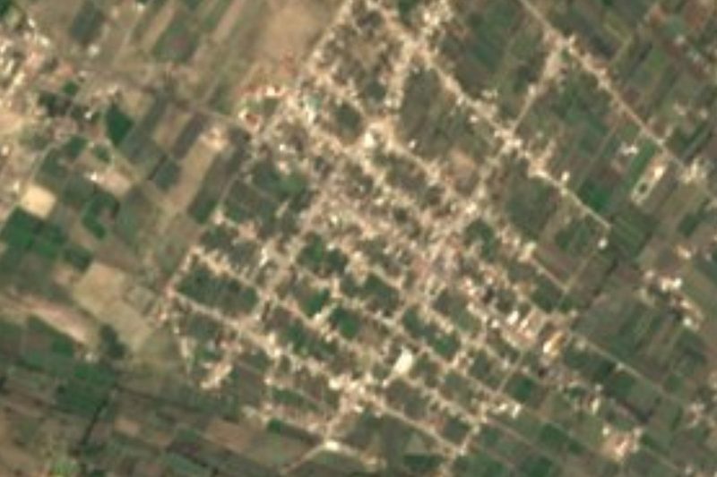


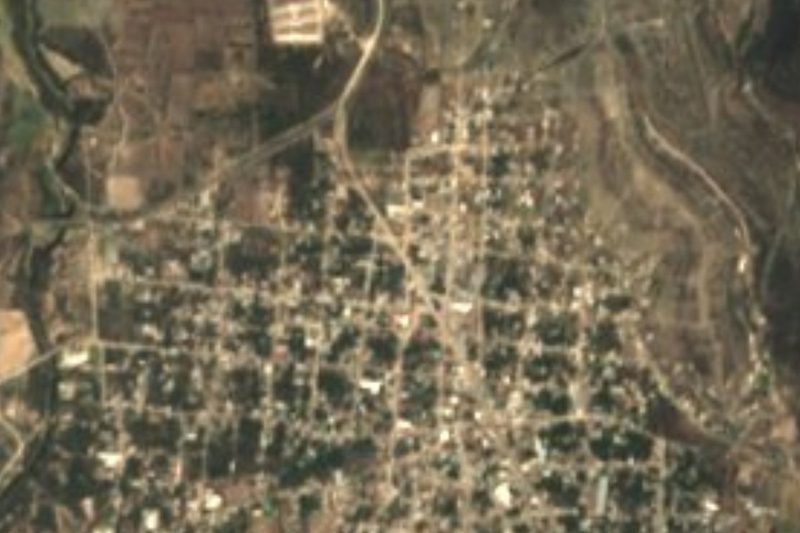

Drive times by road from OpenStreetMap, without traffic. Times marked ~ are estimated from the straight-line distance.
Location from OpenStreetMap. Written by Puebloteca.