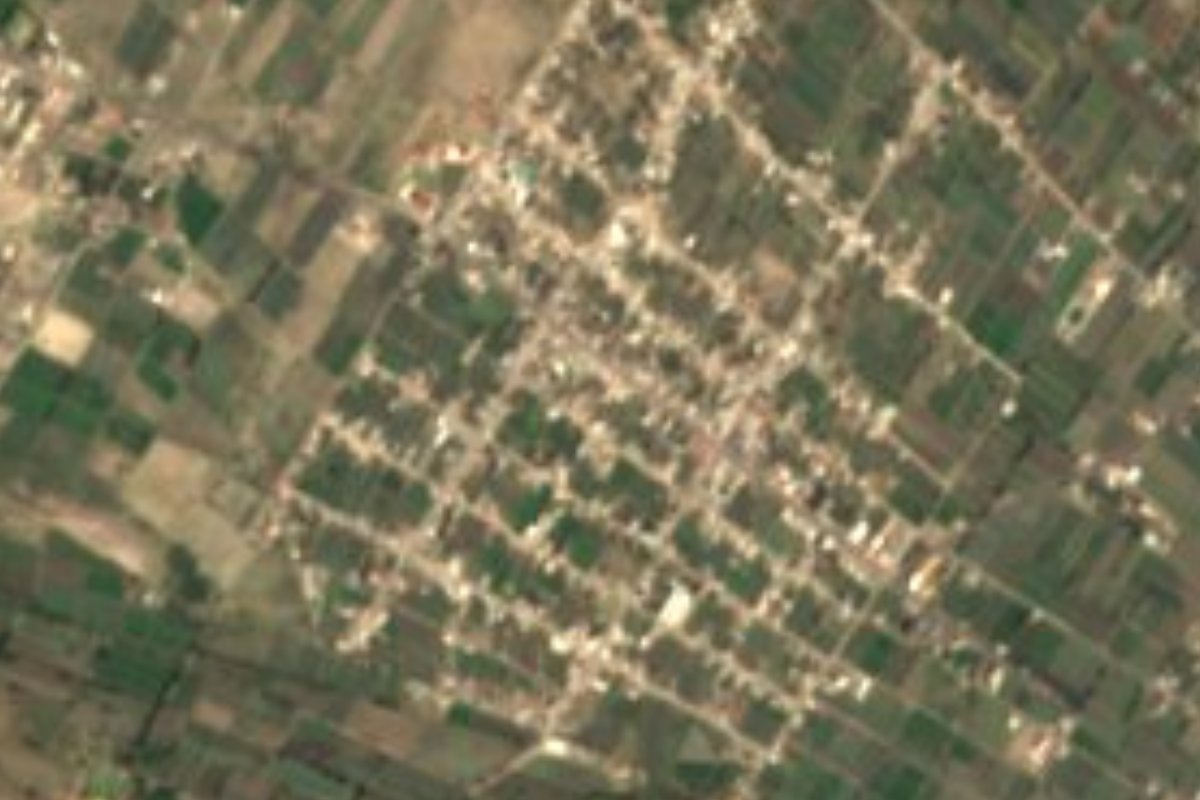
Village Quecholac, Puebla Municipality of Quecholac
"River of the gophers": a village of 4,148 in Quecholac, an old Popoloca lordship, where onyx and marble are carved and capulín wine made.
From Puebla: 55 min by car (65 km by road) How to get there ↓
Near here
See everything nearby ↓



Plan your visit to San José Tuzuapan
Where to stay near San José Tuzuapan
Compare hotels, posadas and guest houses in San José Tuzuapan.
Tours to San José Tuzuapan
Day trips and guided outings from Ixtenco often include San José Tuzuapan; with a local guide you can get there without a car.
How to get to San José Tuzuapan
- From Puebla: about 55 min by road (~65 km)
- Nearest airport: Puebla (PBC), 1 h 16 min by car to Ixtenco
Links open a partner site. We may earn a commission if you book, at no cost to you.
About San José Tuzuapan
Tuzuapan adds tuzun, gopher, to apan, river: the river of the gophers, a name that recalls the rodent that tunnels through farm fields. Saint Joseph, its patron, completes the name. It is a community of 4,148 people in 2020, at 2,114 m, in the south of the municipality of Quecholac, 59 km in a straight line from the capital and 57 km from Tehuacán.
Quecholac has a long history. It was an important Popoloca settlement that from 1398 to 1441 came under Mexica rule exercised from Tecamachalco; in 1519 the region fell on the conquest route and in 1531 it became a corregimiento. Franciscans ran its religious life between 1540 and 1560, and by the late 16th century it answered to Tepeaca. In 1812 royalist forces were defeated in the area, in 1862 French troops camped here and in 1895 the free municipality was born, 163 km² of land spanning 2,060 to 2,900 m. The 16th-century church of Santa María Magdalena, now in ruins, survives, as does the former hacienda of San Miguel de Osorio.
Temperatures run 10 to 16 °C, with 400 to 900 mm of rain. Two thirds of the land is farmed and almost a fifth is scrub; a small sector drains toward the Totolzingo lagoon. Local trades are varied: rope and fibre goods, timber worked for building, onyx and marble figures, plaster statues and sewing. The pantry includes preserves of apricot, peach, plum and capulín cherry, the sweets called trompadas, and drinks such as pulque, aguamiel and capulín, apricot, fig and cherry wines, alongside mole, pipián and chicharrón.
How to get to San José Tuzuapan
Drive from Puebla: 55 min, 65 km
San José Tuzuapan lies in the municipality of Quecholac, 59 km in a straight line from Puebla and 57 km from Tehuacán. From the capital head east on the 150D toll road toward Orizaba, past Acatzingo, then take local roads to the south of the municipality.
Directions to San José Tuzuapan on Google Maps
Distances are in a straight line; the road is usually longer.
Links open a partner site. We may earn a commission if you book, at no cost to you.
From the nearest cities to San José Tuzuapan
Drive times by road from OpenStreetMap, without traffic or stops. Times marked ~ are estimated from the straight-line distance.
Visiting San José Tuzuapan: what to see and do
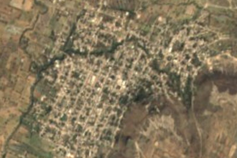
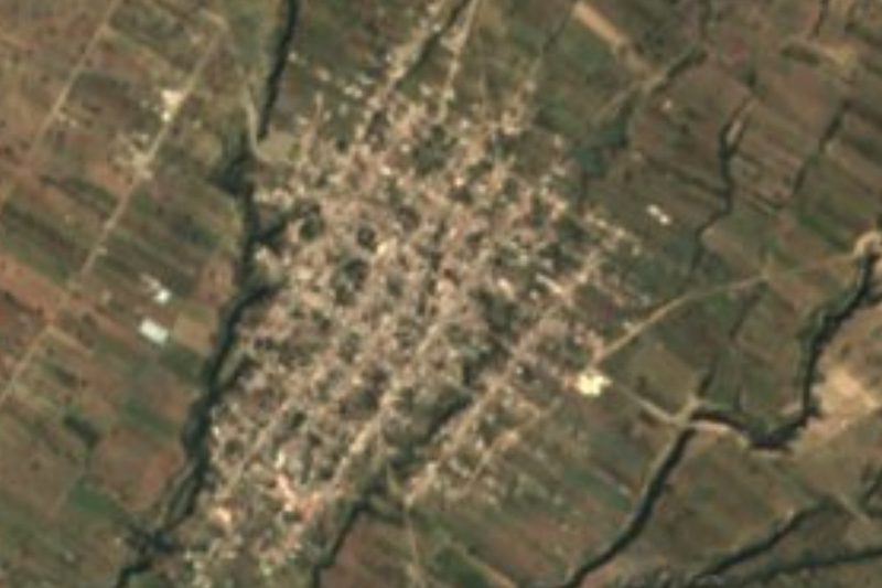
Central Tuzuapan, the village of Saint Joseph.
In Quecholac: the ruined 16th-century church of Santa María Magdalena.
The former hacienda of San Miguel de Osorio, prized for its history.
Plan your trip
Places to stay in San José Tuzuapan
Compare hotels, posadas, and rentals in and around San José Tuzuapan.
Tours & activities
Day trips and guided outings from Ixtenco often include San José Tuzuapan; with a local guide you can get there without a car.
Rental cars
Pick up a car at PBC (Puebla): about 1 h 16 min by road to Ixtenco, then 48 km more to San José Tuzuapan, on your own schedule.
Flights
The nearest airport with scheduled flights is Puebla (PBC), about 1 h 16 min by road from Ixtenco, the base for San José Tuzuapan.
Mobile data
Signal can drop away from Ixtenco: download a map of the way to San José Tuzuapan before you set out, or carry an eSIM with data.
Links open a partner site. We may earn a commission if you book, at no cost to you.
When to go to San José Tuzuapan cool
San José Tuzuapan shares the climate of Ixtenco, 48 km away. The best months to visit are February, March, November, and December.
See the month-by-month climate of Ixtenco
Weather in San José Tuzuapan now and the next 7 days
Live forecast from Open-Meteo. Chance of rain is the day's highest.
The closest Pueblo Mágico: Ixtenco

Ixtenco is the Pueblo Mágico closest to San José Tuzuapan, with places to stay, food, and more to see.
Also close to
- Huamantla · Tlaxcala · 53 km away
- Orizaba · Veracruz · 59 km away
- Coscomatepec · Veracruz · 68 km away
- Cholula · Puebla · 70 km away
- Córdoba · Veracruz · 77 km away
Closest to San José Tuzuapan
-
Palmarito Tochapan · Town · 3 km away
-
Jesús Nazareno · Village · 5 km away
-
Quecholac · Village · 6 km away
-
San Miguel Xaltepec · Village · 6 km away
-
Santiago Alseseca · Town · 7 km away
-
Tecamachalco · City · 7 km away
-
Ex-Hacienda el Carmen · Village · 8 km away
-
San Mateo Tlaixpan · Village · 8 km away
Near San José Tuzuapan






Drive times by road from OpenStreetMap, without traffic. Times marked ~ are estimated from the straight-line distance.
Location from OpenStreetMap. Written by Puebloteca.