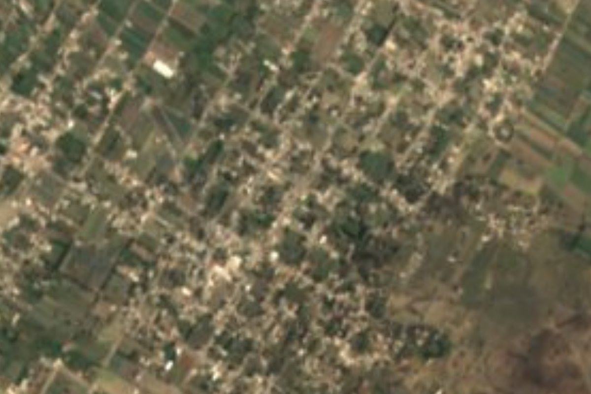
Village Palmar de Bravo, Puebla Municipality of Palmar de Bravo
"In the sandy ground of the hill": a large Palmar de Bravo village of over ten thousand people on the dry plains between Tecamachalco and Esperanza.
From Tehuacán: 50 min by car (64 km by road) How to get there ↓
Near here
See everything nearby ↓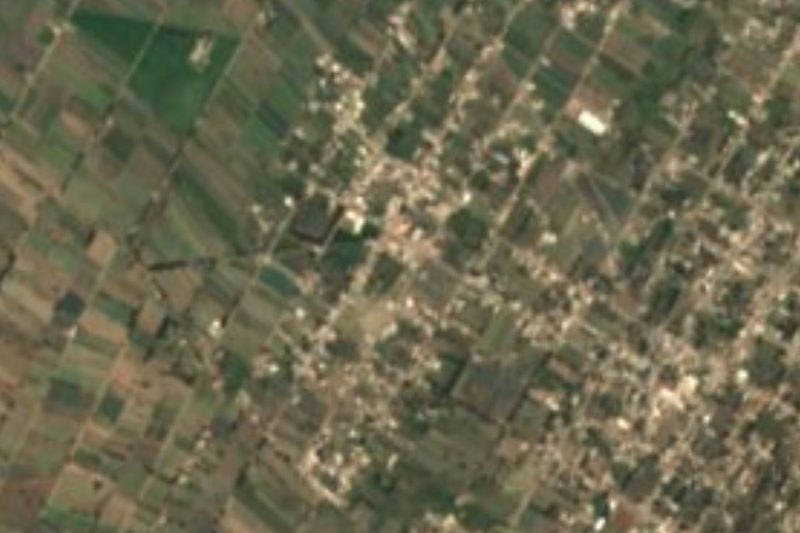

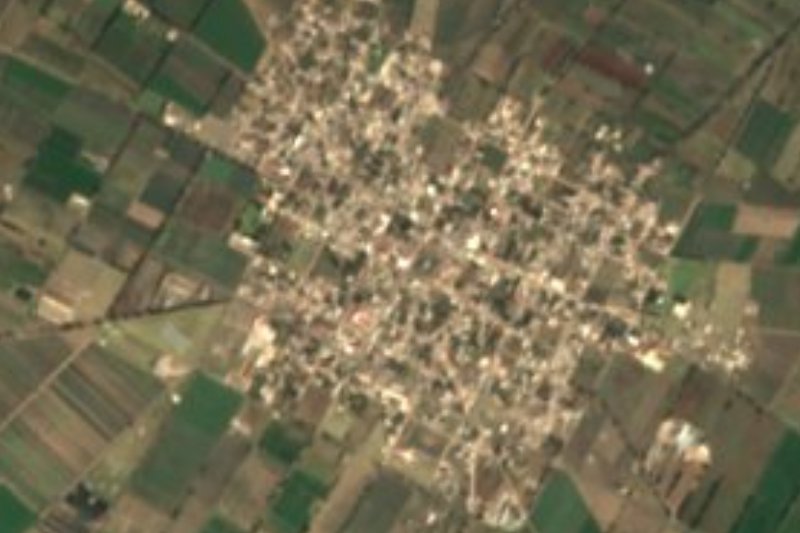

Plan your visit to San Miguel Xaltepec
Where to stay near San Miguel Xaltepec
Compare hotels, posadas and guest houses in San Miguel Xaltepec.
Tours to San Miguel Xaltepec
Day trips and guided outings from Orizaba often include San Miguel Xaltepec; with a local guide you can get there without a car.
 Tours from Puebla City
Africam Safari Zoo Admission with Transportation
★ 4.8 (87) · From US$35
How to get to San Miguel Xaltepec
- From Tehuacán: about 50 min by road (~64 km)
- Nearest airport: Veracruz (VER), 1 h 42 min by car to Orizaba
Links open a partner site. We may earn a commission if you book, at no cost to you.
Tours from Puebla City, near San Miguel Xaltepec


Tours, prices and ratings from Viator, checked weekly. We may earn a commission if you book.
About San Miguel Xaltepec
Sand, hill and a place suffix: xalli, tepetl and co give Xaltepec, rendered as "in the sandy ground of the hill", while the Christian name honours the archangel Michael, its patron. With 10,470 people counted in 2020, this village is larger than many municipal seats in Puebla, even though it belongs to Palmar de Bravo. It sits 2,170 metres up in the east of the state, about 65 km in a straight line east of the capital and almost equally far from Tehuacán (52 km) and Orizaba (53 km).
Palmar de Bravo had 50,226 inhabitants in 2020 spread over 363 km², a territory rising from 2,100 to 2,900 metres and grouped in the Ciudad Serdán region. Its neighbours are Quecholac to the northwest, Chalchicomula de Sesma to the northeast, Esperanza to the east, Cañada Morelos to the southeast, Tlacotepec de Benito Juárez to the south, Yehualtepec to the southwest and Tecamachalco to the west. The municipal seat keeps the church of San Agustín, built in the late 16th century. The municipality's water splits between two great slopes: nearly three quarters drains toward the Papaloapan and the rest toward the Atoyac and the Balsas.
The climate here is mostly semi-dry and temperate, with mean temperatures of 12 to 18 °C and only 300 to 700 mm of rain a year, so cornfields alternate with scrubland; around 62% of the land is farmed and almost a third is still scrub, with small patches of forest. Local trades include palm weaving and making ixtle ropes. Regional cooking runs to barbacoa in mixiote, chiles en nogada and mole poblano, pumpkin sweets for dessert, and pulque or fruit infusions to drink.
How to get to San Miguel Xaltepec
Drive from Tehuacán: 50 min, 64 km
San Miguel Xaltepec is in the municipality of Palmar de Bravo, about 65 km in a straight line east of Puebla city, 52 km from Tehuacán and 53 km from Orizaba. From Puebla take highway 150D toward Orizaba, which crosses this part of the plateau, and exit for Palmar de Bravo; local roads also lead here from Tecamachalco.
Directions to San Miguel Xaltepec on Google Maps
Distances are in a straight line; the road is usually longer.
Links open a partner site. We may earn a commission if you book, at no cost to you.
From the nearest cities to San Miguel Xaltepec
Drive times by road from OpenStreetMap, without traffic or stops. Times marked ~ are estimated from the straight-line distance.
Visiting San Miguel Xaltepec: what to see and do
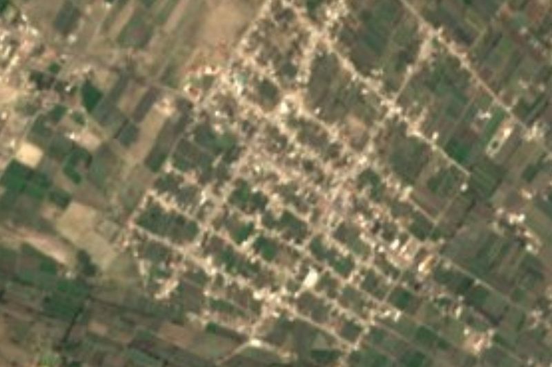
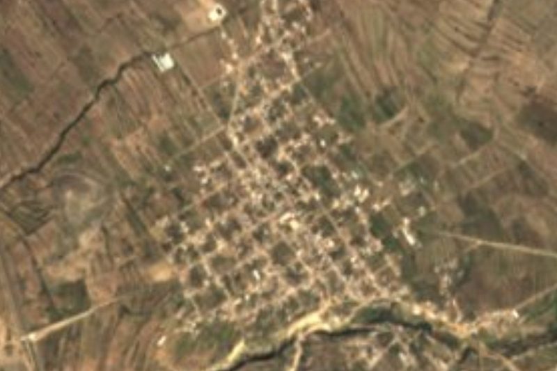
San Miguel Xaltepec and its cornfields between scrub-covered hills.
The 16th-century church of San Agustín in the seat, Palmar de Bravo.
The area's woven palm crafts and ixtle ropes.
Plan your trip
Places to stay in San Miguel Xaltepec
Compare hotels, posadas, and rentals in and around San Miguel Xaltepec.
Tours & activities
Day trips and guided outings from Orizaba often include San Miguel Xaltepec; with a local guide you can get there without a car.
Rental cars
Pick up a car at VER (Veracruz): about 1 h 42 min by road to Orizaba, then 53 km more to San Miguel Xaltepec, on your own schedule.
Flights
The nearest airport with scheduled flights is Veracruz (VER), about 1 h 42 min by road from Orizaba, the base for San Miguel Xaltepec.
Mobile data
Signal can drop away from Orizaba: download a map of the way to San Miguel Xaltepec before you set out, or carry an eSIM with data.
Links open a partner site. We may earn a commission if you book, at no cost to you.
When to go to San Miguel Xaltepec mild
San Miguel Xaltepec shares the climate of Orizaba, 53 km away. The best months to visit are February, March, April, and December.
See the month-by-month climate of Orizaba
Weather in San Miguel Xaltepec now and the next 7 days
Live forecast from Open-Meteo. Chance of rain is the day's highest.
The closest Pueblo Mágico: Orizaba

Orizaba is the Pueblo Mágico closest to San Miguel Xaltepec, with places to stay, food, and more to see.
Also close to
- Ixtenco · Tlaxcala · 54 km away
- Huamantla · Tlaxcala · 58 km away
- Coscomatepec · Veracruz · 63 km away
- Córdoba · Veracruz · 71 km away
- Cholula · Puebla · 76 km away
Closest to San Miguel Xaltepec
-
Jesús Nazareno · Village · 1 km away
-
Palmarito Tochapan · Town · 4 km away
-
San José Tuzuapan · Village · 6 km away
-
Bellavista de Victoria · Village · 7 km away
-
Palmar de Bravo · Village · 8 km away
-
Quecholac · Village · 10 km away
-
Santiago Alseseca · Town · 10 km away
-
Yehualtepec · Village · 10 km away


Near San Miguel Xaltepec


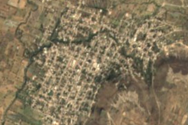
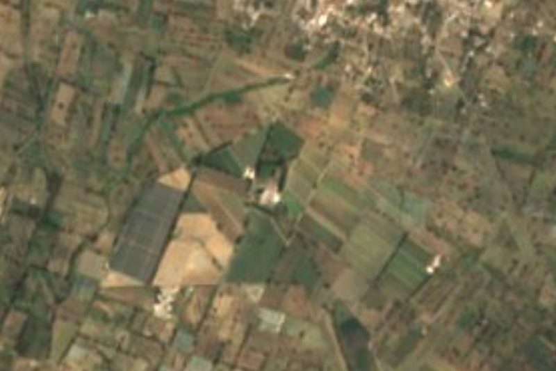


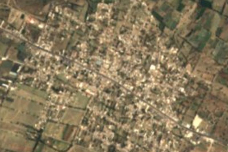


Drive times by road from OpenStreetMap, without traffic. Times marked ~ are estimated from the straight-line distance.
Location from OpenStreetMap. Written by Puebloteca.