
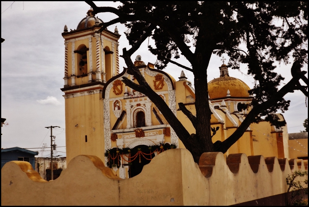
Village Quecholac, Puebla Municipality of Quecholac
Municipal seat on the Puebla highlands, with Popoloca roots and the San Diego church.
From Puebla: 55 min by car (63 km by road) How to get there ↓
Near here
See everything nearby ↓

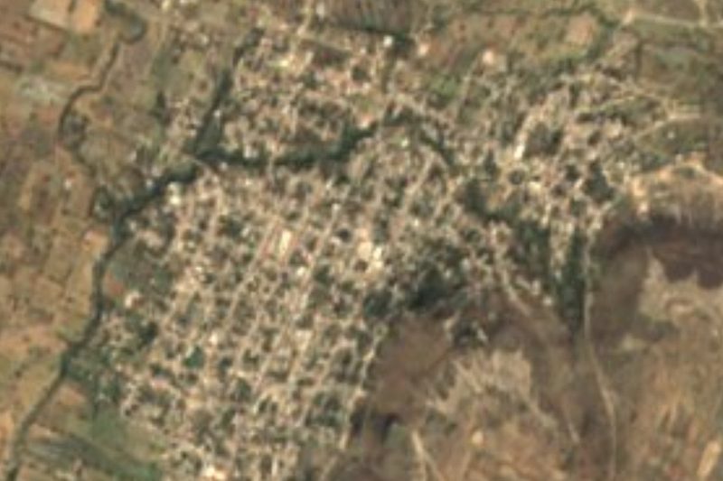
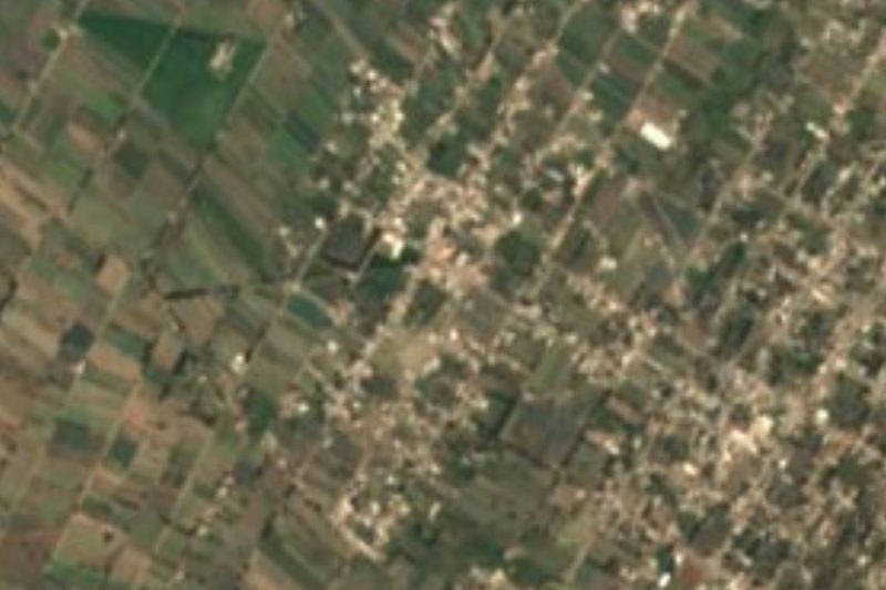
Plan your visit to Quecholac
Where to stay near Quecholac
Compare hotels, posadas and guest houses in Quecholac.
Tours to Quecholac
Day trips and guided outings from Ixtenco often include Quecholac; with a local guide you can get there without a car.
How to get to Quecholac
- From Puebla: about 55 min by road (~63 km)
- Nearest airport: Puebla (PBC), 1 h 16 min by car to Ixtenco
Links open a partner site. We may earn a commission if you book, at no cost to you.
About Quecholac
Quecholac is the seat of the municipality of the same name, in east-central Puebla, within the Ciudad Serdán region. The town stands at about 2,170 metres and had 10,216 residents in 2010; the whole municipality reached nearly 58,000 in 2020. The name is Nahuatl and has been read several ways, from water of the brightly feathered birds to clear water; the etymological sources cited on Wikipedia point out that the glyph shows an eagle-feather headdress tied to the month quecholli and to the god Mixcóatl.
It was a Popoloca settlement that, between 1398 and 1441, fell under the Mexica lordship of Tecamachalco. It became a corregimiento in 1531 and was run by the Franciscans from 1540 to 1560. Royalist troops were beaten here in 1812, French troops camped in 1862, the free municipality was created in 1895, and in 1925 a monument to General Matamoros went up in the plaza.
What remains of that past includes the sixteenth-century parish church of Santa María Magdalena, now in ruins, the former hacienda of San Miguel de Osorio, the old general headquarters (now the town hall), the curate's house and the Rosario chapel. In the San Diego neighbourhood stands the church of San Diego, the building shown in the town's lead photograph. Cerro Chichipico lies nearby, and the climate is temperate and sub-humid, with summer rain and mean temperatures of 12 to 18 °C.
How to get to Quecholac
Drive from Puebla: 55 min, 63 km
Quecholac sits on Puebla's eastern highlands, about 57 km in a straight line from the state capital (approx. 65 minutes by car). The municipality borders Acatzingo and Tecamachalco to the west and southwest, Palmar de Bravo to the southeast and Chalchicomula de Sesma (Ciudad Serdán) to the east, so you arrive via the Acatzingo and Tecamachalco area, heading east out of Puebla. By bus the starting point is Puebla's CAPU; no fixed timetable is published for Quecholac, so ask at the ticket window about services to Quecholac, Acatzingo or Ciudad Serdán and finish the last stretch by colectivo or taxi.
Directions to Quecholac on Google Maps
Distances are in a straight line; the road is usually longer.
Links open a partner site. We may earn a commission if you book, at no cost to you.
From the nearest cities to Quecholac
Drive times by road from OpenStreetMap, without traffic or stops. Times marked ~ are estimated from the straight-line distance.
Visiting Quecholac: what to see and do
Church of San Diego, in the neighbourhood of the same name
Ruins of the sixteenth-century parish church of Santa María Magdalena
Former hacienda of San Miguel de Osorio
Town hall, the old general headquarters
Rosario chapel and the curate's house
Cerro Chichipico and the casa de cultura
Plan your trip
Places to stay in Quecholac
Compare hotels, posadas, and rentals in and around Quecholac.
Tours & activities
Day trips and guided outings from Ixtenco often include Quecholac; with a local guide you can get there without a car.
Rental cars
Pick up a car at PBC (Puebla): about 1 h 16 min by road to Ixtenco, then 43 km more to Quecholac, on your own schedule.
Flights
The nearest airport with scheduled flights is Puebla (PBC), about 1 h 16 min by road from Ixtenco, the base for Quecholac.
Mobile data
Signal can drop away from Ixtenco: download a map of the way to Quecholac before you set out, or carry an eSIM with data.
Links open a partner site. We may earn a commission if you book, at no cost to you.
When to go to Quecholac cool
Quecholac shares the climate of Ixtenco, 43 km away. The best months to visit are February, March, November, and December.
See the month-by-month climate of Ixtenco
Weather in Quecholac now and the next 7 days
Live forecast from Open-Meteo. Chance of rain is the day's highest.
The closest Pueblo Mágico: Ixtenco

Ixtenco is the Pueblo Mágico closest to Quecholac, with places to stay, food, and more to see.
Also close to
- Huamantla · Tlaxcala · 48 km away
- Orizaba · Veracruz · 60 km away
- Coscomatepec · Veracruz · 66 km away
- Cholula · Puebla · 69 km away
- Córdoba · Veracruz · 77 km away
Closest to Quecholac
-
Ex-Hacienda el Carmen · Village · 6 km away
-
San José Tuzuapan · Village · 6 km away
-
Santa Úrsula Chiconquiac · Village · 6 km away
-
Palmarito Tochapan · Town · 7 km away
-
San Mateo Tlaixpan · Village · 9 km away
-
Jesús Nazareno · Village · 10 km away
-
San Miguel Xaltepec · Village · 10 km away
-
Tecamachalco · City · 11 km away
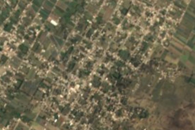

Near Quecholac


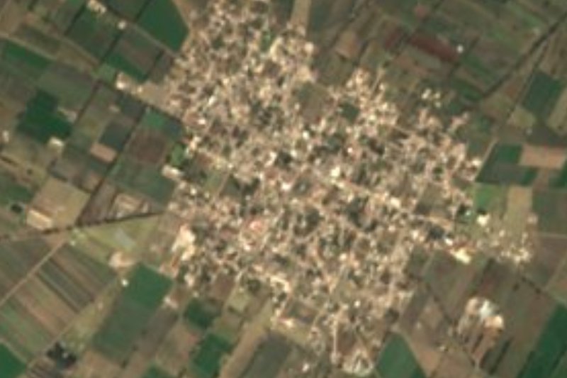




Drive times by road from OpenStreetMap, without traffic. Times marked ~ are estimated from the straight-line distance.
Location from OpenStreetMap. Written by Puebloteca.