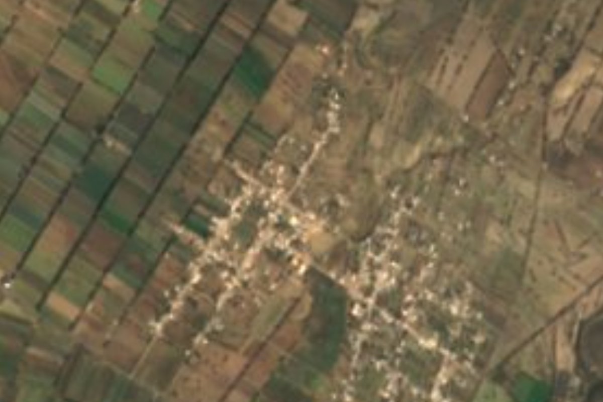
Village Palmar de Bravo, Puebla Municipality of Palmar de Bravo
Auxiliary town of Palmar de Bravo, also called San José Bellavista, named for Guadalupe Victoria; it grew 27% between 2010 and 2020.
From Tehuacán: 45 min by car (58 km by road) How to get there ↓
Near here
See everything nearby ↓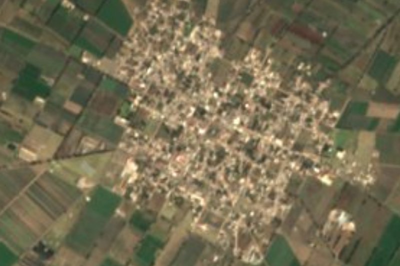



Plan your visit to Bellavista de Victoria
Where to stay near Bellavista de Victoria
Compare hotels, posadas and guest houses in Bellavista de Victoria.
Tours to Bellavista de Victoria
Day trips and guided outings from Orizaba often include Bellavista de Victoria; with a local guide you can get there without a car.
 Tours from Puebla City
Africam Safari Zoo Admission with Transportation
★ 4.8 (87) · From US$35
How to get to Bellavista de Victoria
- From Tehuacán: about 45 min by road (~58 km)
- Nearest airport: Veracruz (VER), 1 h 42 min by car to Orizaba
Links open a partner site. We may earn a commission if you book, at no cost to you.
Tours from Puebla City, near Bellavista de Victoria


Tours, prices and ratings from Viator, checked weekly. We may earn a commission if you book.
About Bellavista de Victoria
The town's surname is no accident: Victoria honours Guadalupe Victoria, Mexico's first president. Official records also list it as San José Bellavista, and under that name it is one of the six auxiliary boards (juntas auxiliares) of Palmar de Bravo, alongside San Sebastián Cuacnopalan, San Miguel Xaltepec, Cuesta Blanca, Jesús Nazareno and La Purísima de Bravo. That means it has its own auxiliary president and four councillors, elected by residents in a vote on the last Sunday of March every three years, who take office on the following 15 April.
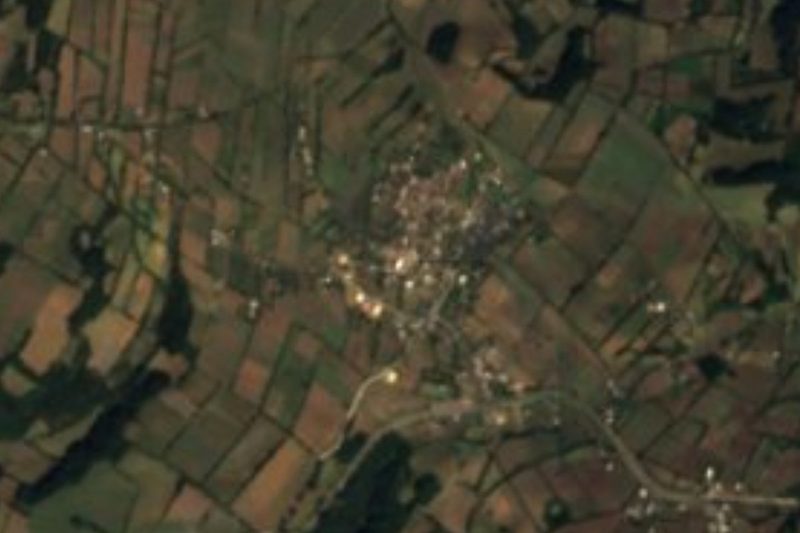
It is growing fast. It went from 2,492 people in 2010 to 3,160 in 2020 (1,605 women and 1,555 men), living in 709 occupied homes, and almost one in six residents was under six years old. Over that decade piped water went from about three quarters of homes to practically all of them, and households with a mobile phone rose from a quarter to nearly three in four; home internet, by contrast, reached only one in ten. Almost no one speaks an indigenous language. It sits at 2,225 metres, about 72 km in a straight line from Puebla city and 46 km from Orizaba, surrounded by farmland; Santa Cruz Monterrosas lies about 2 km north, and beyond rise Loma Grande, 2,705 m, and Cerro Carbonero, 2,636 m.
Palmar de Bravo covers 363 km² in the east of the state, in the Ciudad Serdán region, between 2,100 and 2,900 metres, and had 50,226 people in 2020. It borders Quecholac, Chalchicomula de Sesma, Esperanza, Cañada Morelos, Tlacotepec de Benito Juárez, Yehualtepec and Tecamachalco. Nearly all of it is semi-dry and cool, averaging 12 to 18 °C with 300 to 700 mm of rain a year; more than three fifths of the land is farmed, and the rest is mostly scrub with a little forest. The municipal seat keeps the church of San Agustín, from the late 16th century. Locals weave palm goods and twist ixtle ropes, and the kitchen is known for barbacoa in mixiote, mole poblano, chiles en nogada and candied squash, with pulque and fruit infusions.
How to get to Bellavista de Victoria
Drive from Tehuacán: 45 min, 58 km
Bellavista de Victoria lies about 72 km in a straight line east of Puebla city, on the Puebla–Orizaba corridor: take the federal road or the 150D toll highway to the Palmar de Bravo area and then local roads into the village, with Santa Cruz Monterrosas about 2 km to the north. Orizaba is 46 km away in a straight line. There is no published bus timetable straight to the village; from Puebla's CAPU terminal, head for Palmar de Bravo or Tecamachalco and ask there about local transport.
Directions to Bellavista de Victoria on Google Maps
Distances are in a straight line; the road is usually longer.
Links open a partner site. We may earn a commission if you book, at no cost to you.
From the nearest cities to Bellavista de Victoria
Drive times by road from OpenStreetMap, without traffic or stops. Times marked ~ are estimated from the straight-line distance.
Visiting Bellavista de Victoria: what to see and do
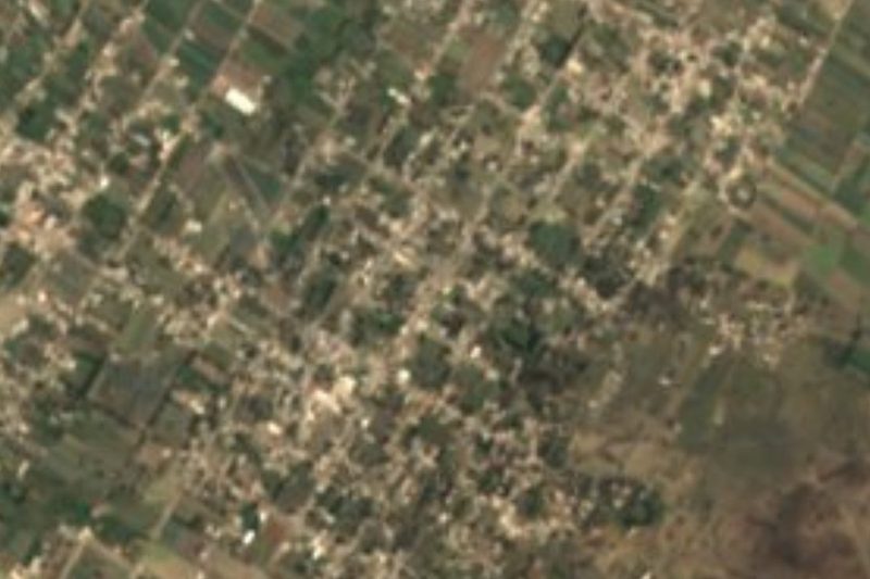
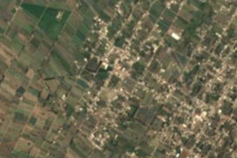
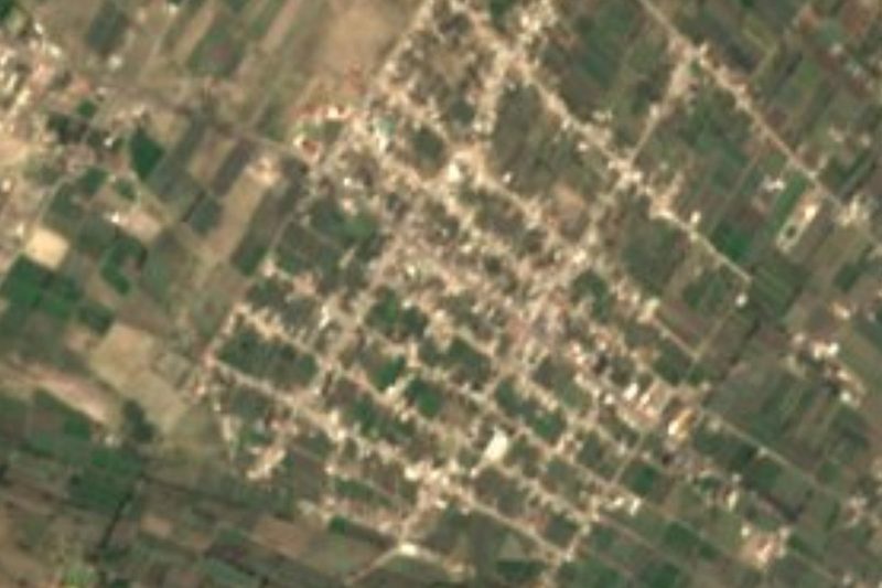
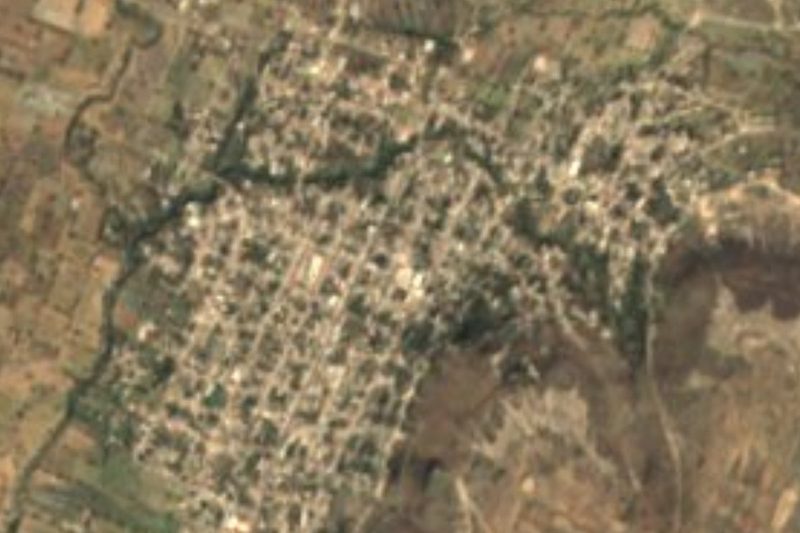
Central Bellavista de Victoria, seat of the San José Bellavista auxiliary board.
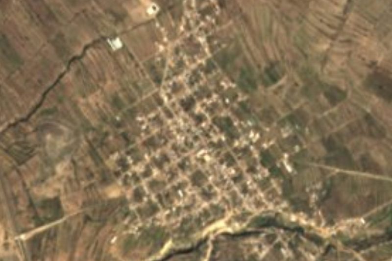
The hills to the north: Loma Grande and Cerro Carbonero, about 5 km away.
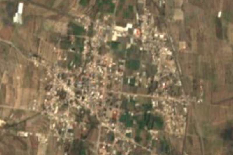
The 16th-century church of San Agustín in Palmar de Bravo.
There is no registered lodging in the village; the nearest rooms are towards Palmar de Bravo.
Plan your trip
Places to stay in Bellavista de Victoria
Compare hotels, posadas, and rentals in and around Bellavista de Victoria.
Tours & activities
Day trips and guided outings from Orizaba often include Bellavista de Victoria; with a local guide you can get there without a car.
Rental cars
Pick up a car at VER (Veracruz): about 1 h 42 min by road to Orizaba, then 46 km more to Bellavista de Victoria, on your own schedule.
Flights
The nearest airport with scheduled flights is Veracruz (VER), about 1 h 42 min by road from Orizaba, the base for Bellavista de Victoria.
Mobile data
Signal can drop away from Orizaba: download a map of the way to Bellavista de Victoria before you set out, or carry an eSIM with data.
Links open a partner site. We may earn a commission if you book, at no cost to you.
When to go to Bellavista de Victoria mild
Bellavista de Victoria shares the climate of Orizaba, 46 km away. The best months to visit are February, March, April, and December.
See the month-by-month climate of Orizaba
Weather in Bellavista de Victoria now and the next 7 days
Live forecast from Open-Meteo. Chance of rain is the day's highest.
The closest Pueblo Mágico: Orizaba

Orizaba is the Pueblo Mágico closest to Bellavista de Victoria, with places to stay, food, and more to see.
Also close to
- Coscomatepec · Veracruz · 57 km away
- Ixtenco · Tlaxcala · 58 km away
- Huamantla · Tlaxcala · 63 km away
- Córdoba · Veracruz · 64 km away
Closest to Bellavista de Victoria
-
Palmar de Bravo · Village · 5 km away
-
Cuacnopalan · Town · 7 km away
-
San Miguel Xaltepec · Village · 7 km away
-
Jesús Nazareno · Village · 8 km away
-
Cuesta Blanca · Village · 9 km away
-
Palmarito Tochapan · Town · 10 km away
-
Santa Cruz El Veladero · Village · 12 km away
-
San José Tuzuapan · Village · 13 km away

Near Bellavista de Victoria







Drive times by road from OpenStreetMap, without traffic. Times marked ~ are estimated from the straight-line distance.
Location from OpenStreetMap. Written by Puebloteca.