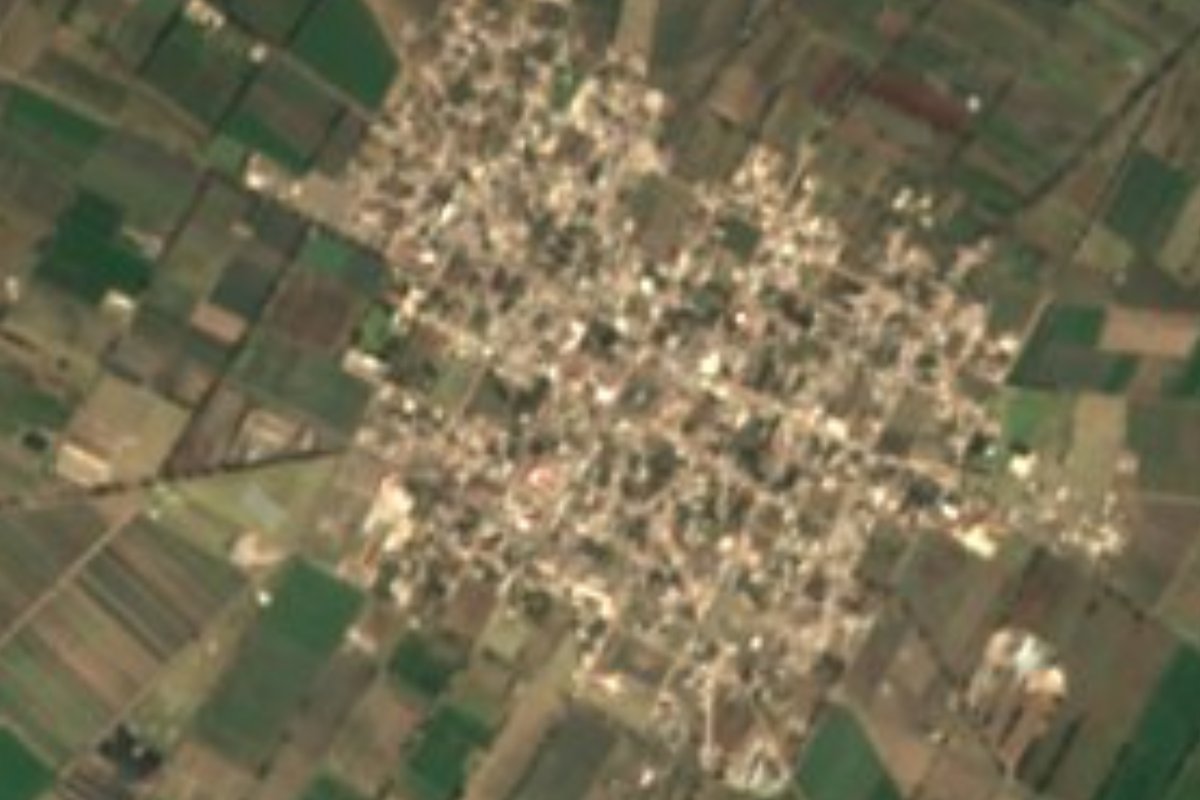
Village Palmar de Bravo, Puebla Municipality of Palmar de Bravo
A town on the Llanos de San Andrés founded in 1662 as San Agustín del Palmar; here Nicolás Bravo freed 300 royalist prisoners in 1812.
From Tehuacán: 45 min by car (56 km by road) How to get there ↓
Near here
See everything nearby ↓
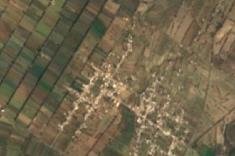

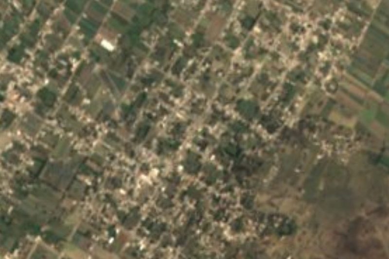
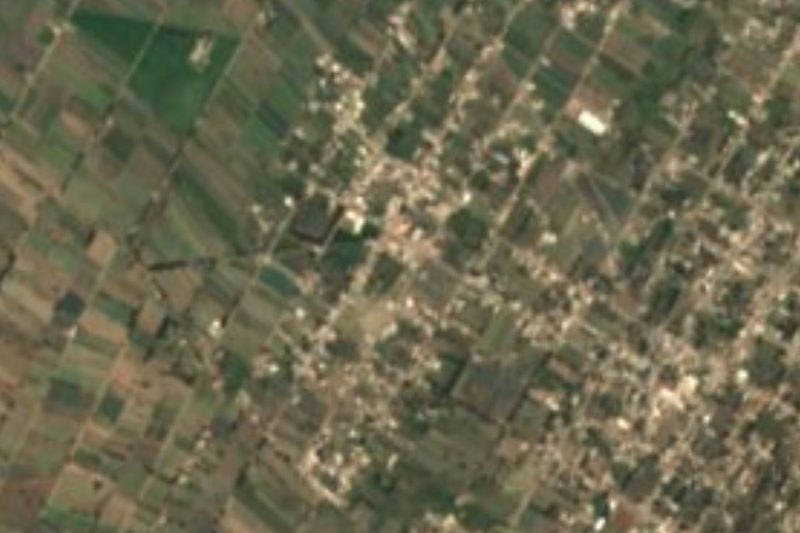

Plan your visit to Palmar de Bravo
Where to stay near Palmar de Bravo
Compare hotels, posadas and guest houses in Palmar de Bravo.
Tours to Palmar de Bravo
Day trips and guided outings from Orizaba often include Palmar de Bravo; with a local guide you can get there without a car.
 Tours from Puebla City
Africam Safari Zoo Admission with Transportation
★ 4.8 (87) · From US$35
How to get to Palmar de Bravo
- From Tehuacán: about 45 min by road (~56 km)
- Nearest airport: Veracruz (VER), 1 h 42 min by car to Orizaba
Links open a partner site. We may earn a commission if you book, at no cost to you.
Tours from Puebla City, near Palmar de Bravo


Tours, prices and ratings from Viator, checked weekly. We may earn a commission if you book.
About Palmar de Bravo
Palmar de Bravo sits on the Llanos de San Andrés in central-eastern Puebla, at about 2,200 metres, between arid hills and rain-fed fields. In 2010 the town had 4,870 residents; the municipality, per the 2020 census, totals 50,226. It belongs to the Ciudad Serdán region, and its territory runs from those plains to the Sierra de Soltepec in the southwest, where the hills exceed 2,800 metres.
The present name remembers a battle. The settlement began in 1662, when a Spanish landowner, Agustín Luna, who lived in what is now Ciudad Serdán, founded San Agustín del Palmar at a spot called Zoyatlán, from Nahuatl zoyatl (palm), otli (road) and tla (abundance). On 12 August 1812, right here, General Nicolás Bravo defeated the royalist forces of Juan Labaqui and took 300 prisoners. He soon learned that his father, Leonardo Bravo, had been executed in Mexico City; Morelos ordered the captives shot in reprisal, but Bravo set them free, and some joined his troops. Mariano Matamoros also won a victory here.
The climate is dry and high, with temperatures of 5 to 23 °C through the year, and the plains grow maize, alfalfa, wheat and fava beans. The parish is San Agustín Obispo, in the Diocese of Tehuacán, and the patron saint explains the town's original name.
How to get to Palmar de Bravo
Drive from Tehuacán: 45 min, 56 km
Palmar de Bravo is in central-eastern Puebla, in the Ciudad Serdán region: it borders Tecamachalco to the west, Quecholac to the northwest, Esperanza to the east and Cañada Morelos to the southeast. From Tehuacán it is about 45 km in a straight line and around 50 minutes by car; from Orizaba, some 47 km and 55 minutes (approx.). From the city of Puebla, head toward Tehuacán and Orizaba and take the turn-off to town; most of the municipal territory is flat plain. No fixed bus timetable to the town is published: CAPU in Puebla, the Tehuacán terminal and the Ciudad Serdán terminal are the places to ask about buses or combis to Palmar de Bravo.
Directions to Palmar de Bravo on Google Maps
Distances are in a straight line; the road is usually longer.
Links open a partner site. We may earn a commission if you book, at no cost to you.
From the nearest cities to Palmar de Bravo
Drive times by road from OpenStreetMap, without traffic or stops. Times marked ~ are estimated from the straight-line distance.
Before you go to Palmar de Bravo: hours, prices and tips
- Best season
- The rainy season runs from late March to November; January is the coldest month (average low 5 °C) and May the warmest (high of 23 °C). Plan Municipal de Desarrollo de Palmar de Bravo 2021-2024 · checked Oct 2026
Hours and prices change, especially around holidays. Each fact links to where we checked it.
Visiting Palmar de Bravo: what to see and do
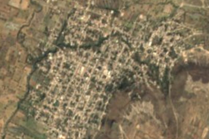
The parish of San Agustín Obispo, which gave old San Agustín del Palmar its name.
The site of the 12 August 1812 battle, where Nicolás Bravo freed 300 prisoners.
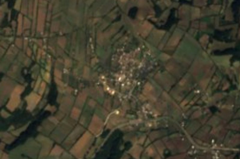
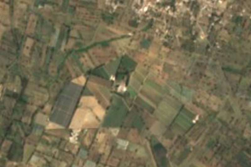
The Llanos de San Andrés, with their maize, alfalfa and wheat plots.
The Sierra de Soltepec to the southwest, with hills above 2,800 metres.
The arid, rocky hills that break up the plain.
Plan your trip
Places to stay in Palmar de Bravo
Compare hotels, posadas, and rentals in and around Palmar de Bravo.
Tours & activities
Day trips and guided outings from Orizaba often include Palmar de Bravo; with a local guide you can get there without a car.
Rental cars
Pick up a car at VER (Veracruz): about 1 h 42 min by road to Orizaba, then 47 km more to Palmar de Bravo, on your own schedule.
Flights
The nearest airport with scheduled flights is Veracruz (VER), about 1 h 42 min by road from Orizaba, the base for Palmar de Bravo.
Mobile data
Signal can drop away from Orizaba: download a map of the way to Palmar de Bravo before you set out, or carry an eSIM with data.
Links open a partner site. We may earn a commission if you book, at no cost to you.
When to go to Palmar de Bravo mild
Palmar de Bravo shares the climate of Orizaba, 47 km away. The best months to visit are February, March, April, and December.
See the month-by-month climate of Orizaba
Weather in Palmar de Bravo now and the next 7 days
Live forecast from Open-Meteo. Chance of rain is the day's highest.
The closest Pueblo Mágico: Orizaba

Orizaba is the Pueblo Mágico closest to Palmar de Bravo, with places to stay, food, and more to see.
Also close to
- Coscomatepec · Veracruz · 59 km away
- Ixtenco · Tlaxcala · 61 km away
- Córdoba · Veracruz · 65 km away
- Huamantla · Tlaxcala · 66 km away
Closest to Palmar de Bravo
-
Cuacnopalan · Town · 4 km away
-
Bellavista de Victoria · Village · 5 km away
-
Cuesta Blanca · Village · 8 km away
-
San Miguel Xaltepec · Village · 8 km away
-
Jesús Nazareno · Village · 9 km away
-
Palmarito Tochapan · Town · 12 km away
-
Yehualtepec · Village · 13 km away
-
Ocotlán de Venustiano Carranza · Village · 14 km away

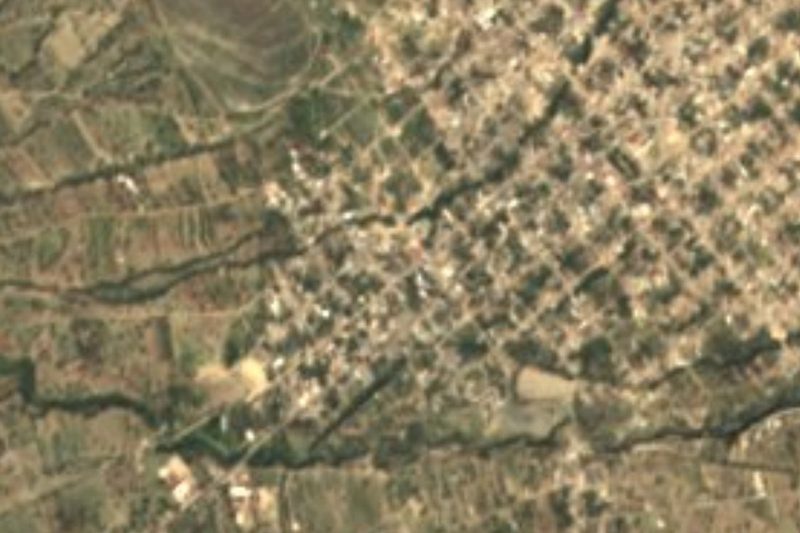
Near Palmar de Bravo




Drive times by road from OpenStreetMap, without traffic. Times marked ~ are estimated from the straight-line distance.
Location from OpenStreetMap. Written by Puebloteca.