
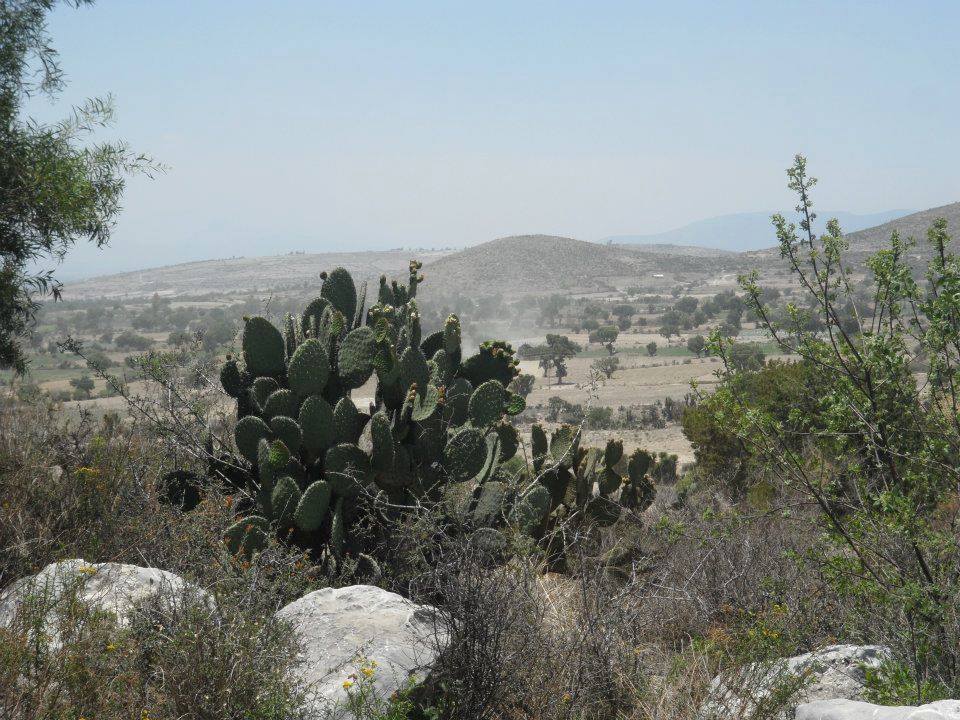
Town Quecholac, Puebla Municipality of Quecholac
Town of over 17,000 in the municipality of Quecholac, in a valley between ranges at about 2,200 m; "between the water and the rabbits".
From Tehuacán: 50 min by car (69 km by road) How to get there ↓
Near here
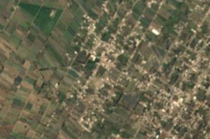
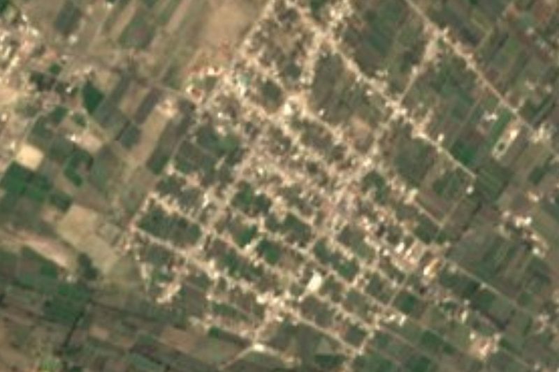
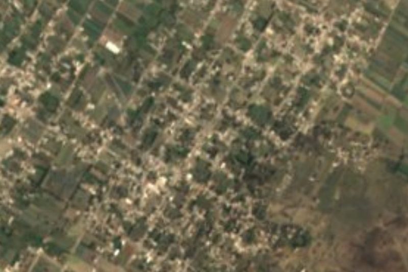


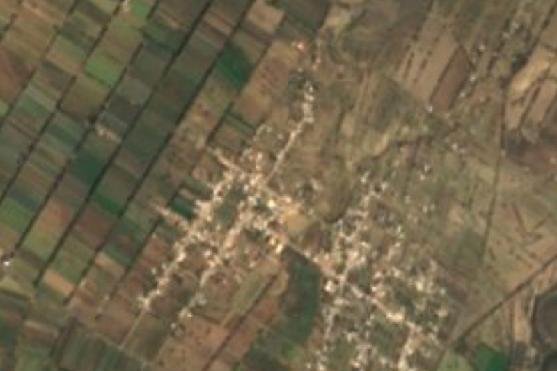
Plan your visit to Palmarito Tochapan
Where to stay near Palmarito Tochapan
Compare hotels, posadas and guest houses in Palmarito Tochapan.
Tours to Palmarito Tochapan
Day trips around Ixtenco sometimes stop in Palmarito Tochapan; a tour is the easy way to see it without a car.
 Tours from Puebla City
Africam Safari Zoo Admission with Transportation
★ 4.8 (87) · From US$35
How to get to Palmarito Tochapan
- From Tehuacán: about 50 min by road (~69 km)
- Nearest airport: Puebla (PBC), 1 h 16 min by car to Ixtenco
Links open a partner site. We may earn a commission if you book, at no cost to you.
Tours from Puebla City, near Palmarito Tochapan


Tours, prices and ratings from Viator, checked weekly. We may earn a commission if you book.
About Palmarito Tochapan
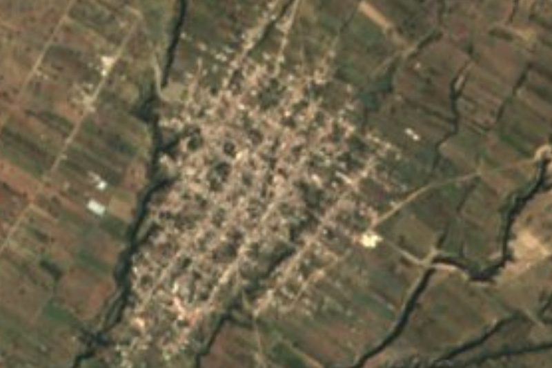
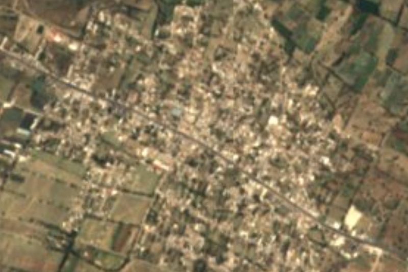
Palmarito Tochapan is a town in east-central Puebla belonging to the municipality of Quecholac, whose seat is about 7 km away. With 17,369 people in 2020 it is much bigger than many municipal seats in the region. It was founded between 1750 and 1800. The name mixes Spanish and Nahuatl: Palmarito refers to palms and fertile land, and Tochapan comes from tochtli, rabbit, and atl, water, "between the water and the rabbits", after an old spring where rabbits came down to drink, surrounded by the palms typical of the place.
The town lies in an almost flat valley sloping gently from east to west, between the Sierra del Monumento and the Sierra de Tecamachalco, at about 2,200 m. To the north-west rise the hills of La Larga Sierra, running from Palmar de Bravo to Mazapiltepec de Juárez, with summits such as La Cumbre, Rincón Grande, La Tranca and Loma Cruz Blanca; to the south, the last spurs of the Sierra de Soltepec, with Cerro de La Noria and Cerro de San José.
Water comes mostly from underground, from deep wells, and in recent years irrigation systems have been built to feed the valley's farms. It borders Guadalupe Enríquez, Jesús Nazareno, San José Tuzuapan, San Bartolomé Coscomaya and the municipality of Palmar de Bravo.
How to get to Palmarito Tochapan
Drive from Tehuacán: 50 min, 69 km
Palmarito Tochapan lies in the municipality of Quecholac, about 7 km from its seat, in east-central Puebla. Puebla city is about 62 km away in a straight line, roughly 1 h 10 min by car, and Tecamachalco about 10 km. Orizaba in Veracruz is about 56 km away. The nearest Pueblo Mágico is Ixtenco in Tlaxcala, about 50 km away.
Directions to Palmarito Tochapan on Google Maps
Distances are in a straight line; the road is usually longer.
Links open a partner site. We may earn a commission if you book, at no cost to you.
From the nearest cities to Palmarito Tochapan
Drive times by road from OpenStreetMap, without traffic or stops. Times marked ~ are estimated from the straight-line distance.
Map of Palmarito Tochapan
Neighbourhoods and villages of Palmarito Tochapan
Part of Palmarito Tochapan or just outside it, closest first.
-
Jesús Nazareno · Village · 3 km from the centre
Town of about 3,300 in the municipality of Palmar de Bravo in east-central Puebla, next to Palmarito Tochapan. -
San José Tuzuapan · Village · 3 km from the centre
"River of the gophers": a village of 4,148 in Quecholac, an old Popoloca lordship, where onyx and marble are carved and capulín wine made. -
San Miguel Xaltepec · Village · 4 km from the centre
"In the sandy ground of the hill": a large Palmar de Bravo village of over ten thousand people on the dry plains between Tecamachalco and Esperanza.
Day trips and tours from Palmarito Tochapan
The closest Pueblos Mágicos and places to visit, with the drive from Palmarito Tochapan and tours that leave from it.


Times marked ~ are estimated from the distance. Links open a partner site. We may earn a commission if you book, at no cost to you.
Before you go: getting to and around Palmarito Tochapan
- The nearest airport is Puebla (PBC).
- The best months to go are February, March, November, and December.
- 1 of the places on this page is more than 3 km from the centre: take a taxi, a ride-hailing app or a local bus.
- For day trips a rental car gives the most freedom; the tours above leave from Palmarito Tochapan.
Visiting Palmarito Tochapan: what to see and do
The hills of La Larga Sierra north-west of town.
The farming valley between the Sierra del Monumento and the Sierra de Tecamachalco.
The municipal seat of Quecholac, about 7 km away.
Plan your trip
Places to stay in Palmarito Tochapan
Compare hotels, posadas, and rentals in and around Palmarito Tochapan.
Tours & activities
Day trips around Ixtenco sometimes stop in Palmarito Tochapan; a tour is the easy way to see it without a car.
Rental cars
Pick up a car at PBC (Puebla): about 1 h 16 min by road to Ixtenco, then 50 km more to Palmarito Tochapan, on your own schedule.
Flights
The nearest airport with scheduled flights is Puebla (PBC), about 1 h 16 min by road from Ixtenco, the base for Palmarito Tochapan.
Mobile data
Signal can drop away from Ixtenco: download a map of the way to Palmarito Tochapan before you set out, or carry an eSIM with data.
Links open a partner site. We may earn a commission if you book, at no cost to you.
When to go to Palmarito Tochapan cool
Palmarito Tochapan shares the climate of Ixtenco, 50 km away. The best months to visit are February, March, November, and December.
See the month-by-month climate of Ixtenco
Weather in Palmarito Tochapan now and the next 7 days
Live forecast from Open-Meteo. Chance of rain is the day's highest.
The closest Pueblo Mágico: Ixtenco

Ixtenco is the Pueblo Mágico closest to Palmarito Tochapan, with places to stay, food, and more to see.
Also close to
- Huamantla · Tlaxcala · 55 km away
- Orizaba · Veracruz · 56 km away
- Coscomatepec · Veracruz · 65 km away
- Cholula · Puebla · 73 km away
- Córdoba · Veracruz · 74 km away
Near Palmarito Tochapan
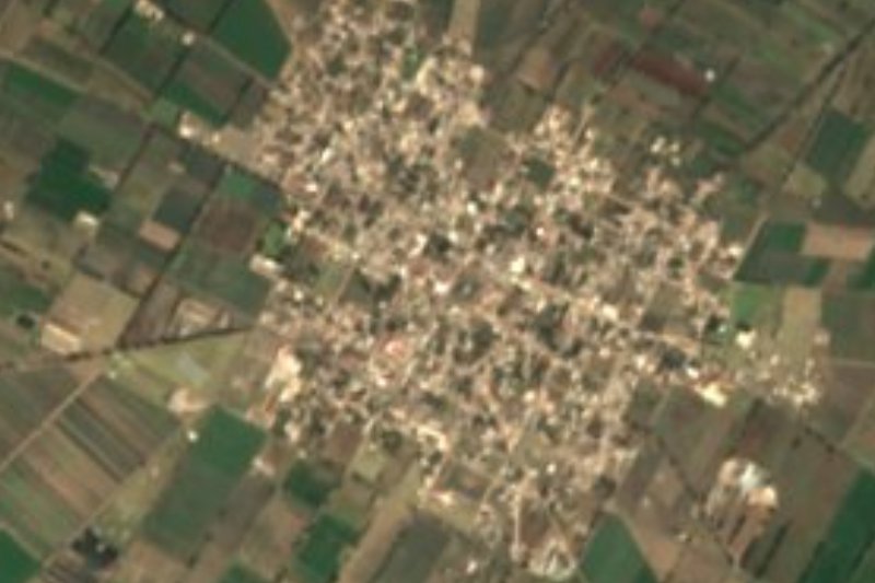
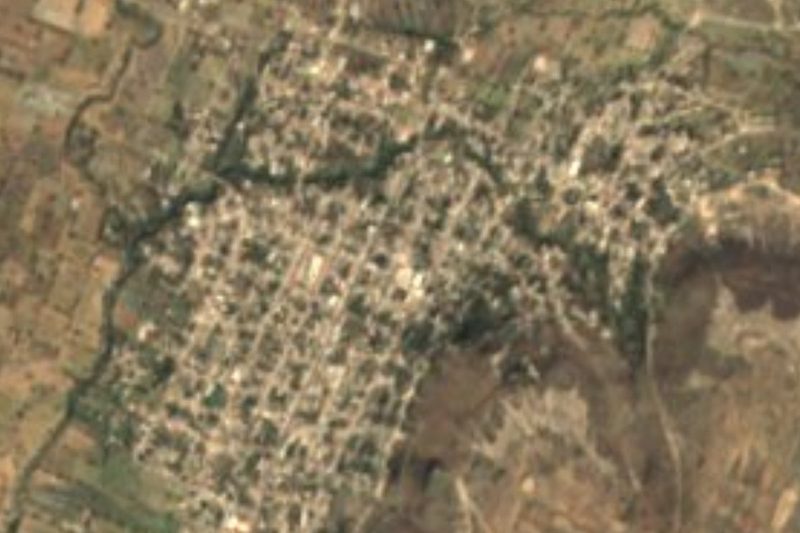




Drive times by road from OpenStreetMap, without traffic. Times marked ~ are estimated from the straight-line distance.
Location from OpenStreetMap. Written by Puebloteca.