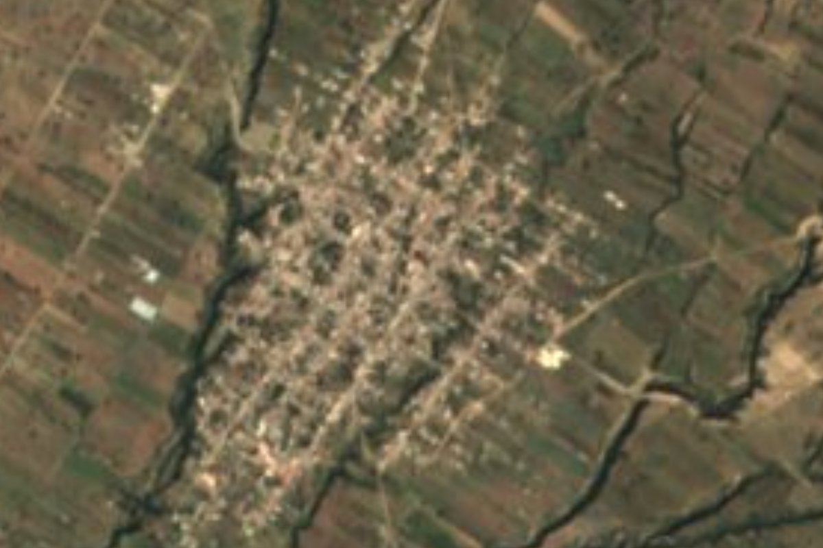
Village General Felipe Ángeles, Puebla
"Place of the seven trees": the most populous town in General Felipe Ángeles, bigger than its seat, among farm fields and ixtle fibre work.
From Huamantla: 50 min by car (56 km by road) How to get there ↓
Near here
See everything nearby ↓

Plan your visit to Santa Úrsula Chiconquiac
Where to stay near Santa Úrsula Chiconquiac
Compare hotels, posadas and guest houses in Santa Úrsula Chiconquiac.
Tours to Santa Úrsula Chiconquiac
Day trips and guided outings from Ixtenco often include Santa Úrsula Chiconquiac; with a local guide you can get there without a car.
 Tours from Puebla City
Africam Safari Zoo Admission with Transportation
★ 4.8 (87) · From US$35
How to get to Santa Úrsula Chiconquiac
- From Huamantla: about 50 min by road (~56 km)
- Nearest airport: Puebla (PBC), 1 h 16 min by car to Ixtenco
Links open a partner site. We may earn a commission if you book, at no cost to you.
Tours from Puebla City, near Santa Úrsula Chiconquiac


Tours, prices and ratings from Viator, checked weekly. We may earn a commission if you book.
About Santa Úrsula Chiconquiac
In General Felipe Ángeles the seat is San Pablo de las Tunas, but the place with the most people is Santa Úrsula Chiconquiac, with 6,860 residents in the 2020 census. Its Nahuatl name joins chicome, seven, kuauitl, tree, and the place suffix: "place of the seven trees". The Christian half of the name honours its patron, Saint Ursula of Cologne. The town lies at 2,229 m in the centre of the state, about 55 km in a straight line east of Puebla city.
It is one of the municipality's three auxiliary towns, along with San Antonio Portezuelo and Santiago Tenango. Every three years residents choose, by plebiscite on the last Sunday of March, an auxiliary president and four councillors, who take office on 15 April. The municipality, named after the revolutionary general Felipe Ángeles, is small: about 74 km² spread over 20 localities, with elevations from 2,160 to 2,800 m. It borders Mazapiltepec de Juárez, San Salvador el Seco, San Juan Atenco, Quecholac and Acatzingo.
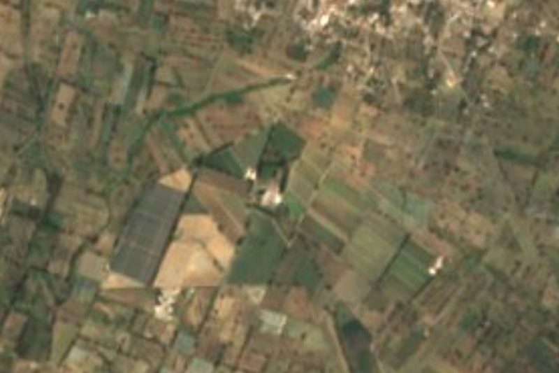
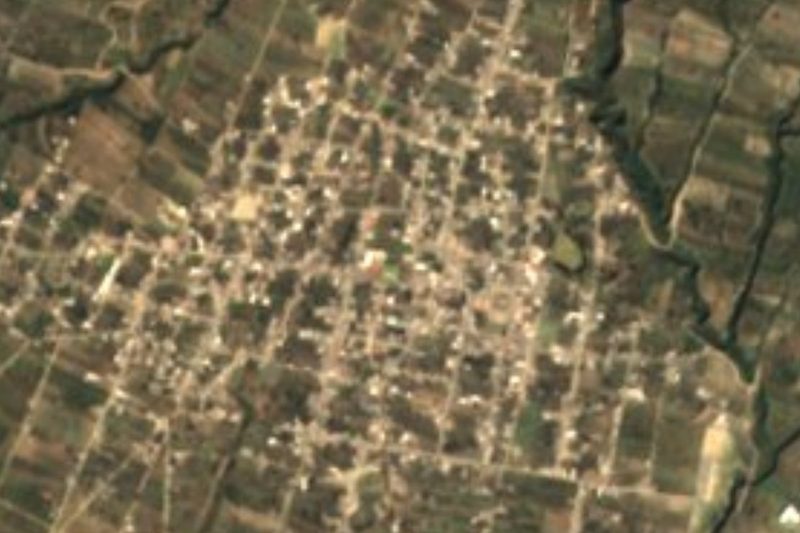
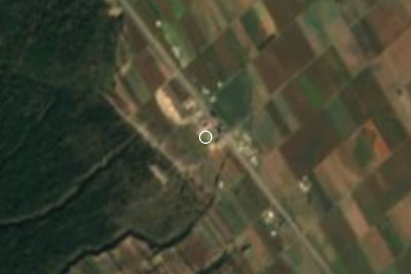
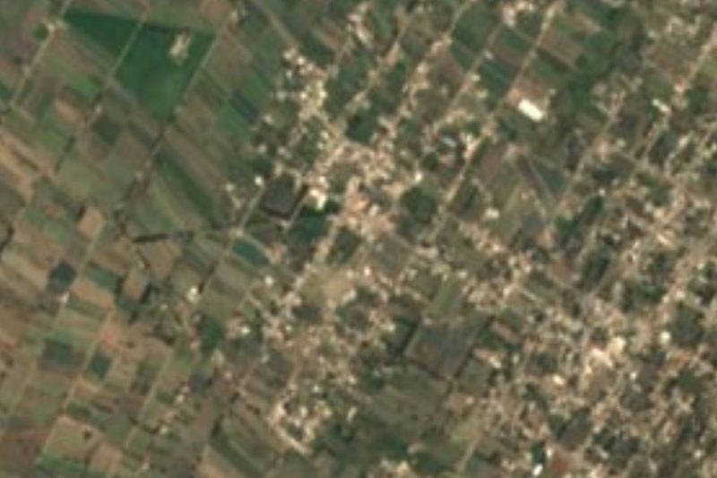
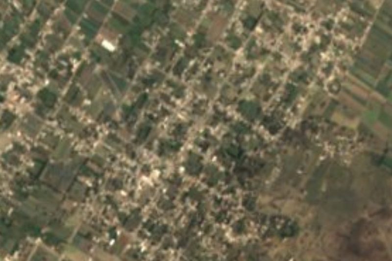
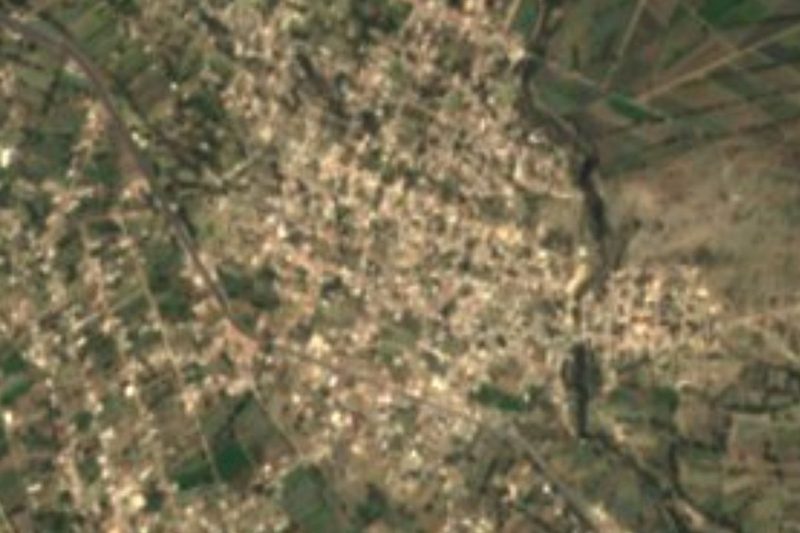
Nearly two thirds of the land is farmed, and the satellite view shows the patchwork of plots around the houses; forest still covers about 18% of the municipality, with some grassland and scrub. The climate is temperate, averaging 12 to 18 °C with 600 to 900 mm of rain a year, and the streams are intermittent; most of the territory drains toward the Atoyac and a smaller part toward the Totolzingo lagoon. The traditional craft is cordage: ixtle fibre is twisted to make sacks and ayates, the carrying cloths. In the seat, San Pablo de las Tunas, stands the 17th-century church of San Pablo, which shows Moorish influence.
How to get to Santa Úrsula Chiconquiac
Drive from Huamantla: 50 min, 56 km
Santa Úrsula Chiconquiac lies about 55 km in a straight line east of Puebla city and 38 km from Ixtenco, in General Felipe Ángeles. Neighbouring Acatzingo, to the west, is the nearest reference point when driving from Puebla.
Directions to Santa Úrsula Chiconquiac on Google Maps
Distances are in a straight line; the road is usually longer.
Links open a partner site. We may earn a commission if you book, at no cost to you.
From the nearest cities to Santa Úrsula Chiconquiac
- Huamantla · 56 km by road, 50 min
- Puebla · 62 km by road, 55 min
- Tehuacán · 80 km by road, 1 h 10 min
Drive times by road from OpenStreetMap, without traffic or stops. Times marked ~ are estimated from the straight-line distance.
Visiting Santa Úrsula Chiconquiac: what to see and do
The town and the farm fields around it.
Ixtle cordage: sacks and ayates.
The 17th-century San Pablo church in San Pablo de las Tunas.
The municipality's wooded rises, reaching 2,800 m.
Plan your trip
Places to stay in Santa Úrsula Chiconquiac
Compare hotels, posadas, and rentals in and around Santa Úrsula Chiconquiac.
Tours & activities
Day trips and guided outings from Ixtenco often include Santa Úrsula Chiconquiac; with a local guide you can get there without a car.
Rental cars
Pick up a car at PBC (Puebla): about 1 h 16 min by road to Ixtenco, then 38 km more to Santa Úrsula Chiconquiac, on your own schedule.
Flights
The nearest airport with scheduled flights is Puebla (PBC), about 1 h 16 min by road from Ixtenco, the base for Santa Úrsula Chiconquiac.
Mobile data
Signal can drop away from Ixtenco: download a map of the way to Santa Úrsula Chiconquiac before you set out, or carry an eSIM with data.
Links open a partner site. We may earn a commission if you book, at no cost to you.
When to go to Santa Úrsula Chiconquiac cool
Santa Úrsula Chiconquiac shares the climate of Ixtenco, 38 km away. The best months to visit are February, March, November, and December.
See the month-by-month climate of Ixtenco
Weather in Santa Úrsula Chiconquiac now and the next 7 days
Live forecast from Open-Meteo. Chance of rain is the day's highest.
The closest Pueblo Mágico: Ixtenco

Ixtenco is the Pueblo Mágico closest to Santa Úrsula Chiconquiac, with places to stay, food, and more to see.
Also close to
- Huamantla · Tlaxcala · 42 km away
- Orizaba · Veracruz · 63 km away
- Coscomatepec · Veracruz · 66 km away
- Cholula · Puebla · 67 km away
- Córdoba · Veracruz · 79 km away
Closest to Santa Úrsula Chiconquiac
-
Quecholac · Village · 6 km away
-
Ex-Hacienda el Carmen · Village · 7 km away
-
San Sebastián Villanueva · Village · 7 km away
-
Aljibes · Village · 9 km away
-
Rinconada · Village · 10 km away
-
Acatzingo de Hidalgo · Town · 12 km away
-
Mazapiltepec de Juárez · Village · 12 km away
-
Soltepec · Village · 12 km away


Near Santa Úrsula Chiconquiac






Drive times by road from OpenStreetMap, without traffic. Times marked ~ are estimated from the straight-line distance.
Location from OpenStreetMap. Written by Puebloteca.