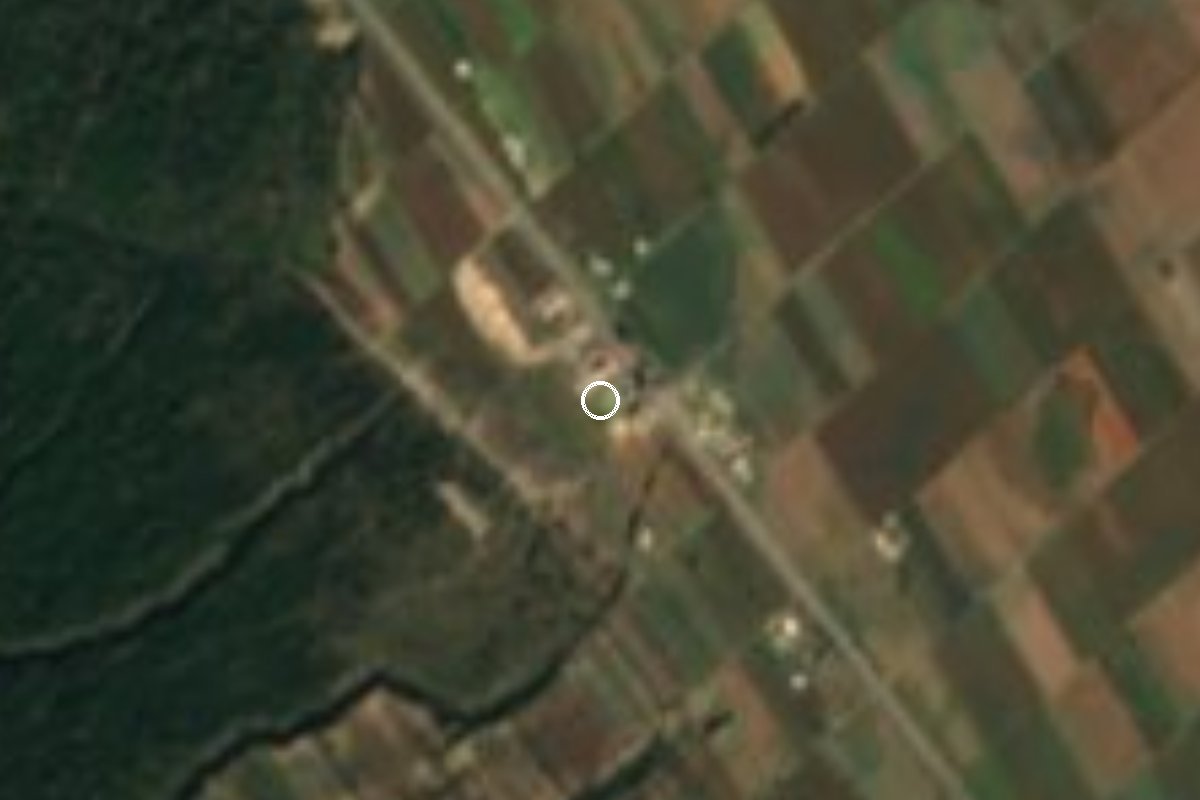
Village Mazapiltepec de Juárez, Puebla Puebla Valley
Old Mexican Railway station in Mazapiltepec where, in May 1920, Carranza's horse was shot from under him as he fled toward Veracruz.
From Huamantla: 35 min by car (41 km by road) How to get there ↓
Near here
See everything nearby ↓



Plan your visit to Rinconada
Where to stay near Rinconada
Compare hotels, posadas and guest houses in Rinconada.
Tours to Rinconada
Day trips and guided outings from Ixtenco often include Rinconada; with a local guide you can get there without a car.
How to get to Rinconada
- From Huamantla: about 35 min by road (~41 km)
- Nearest airport: Puebla (PBC), 1 h 16 min by car to Ixtenco
Links open a partner site. We may earn a commission if you book, at no cost to you.
About Rinconada
The official name says it all: Estación de Rinconada. The hamlet grew up around a stop on the Mexican Railway, the Mexico City–Veracruz line that formally opened on 1 January 1873, and it still sits right beside the tracks. It is a small place, with 140 people in 2020 (74 men and 66 women), at 2,363 m in east-central Puebla.
Its moment in national history came in May 1920. President Venustiano Carranza was travelling by train toward Veracruz, and rebels backing the Plan of Agua Prieta attacked the convoy at several stations in Puebla. At Rinconada, on 11 May, his federal troops fought the rebels; Carranza's horse was killed under him during the fight, but the attackers were driven off and the convoy pressed on to San Francisco Aljibes, in San Salvador el Seco. Ten days later Carranza was murdered at Tlaxcalantongo in the Sierra Norte.
Until 1926 Rinconada belonged to Soltepec. A Puebla state congress decree of 8 May that year, in force from the 11th, created the municipality of Mazapiltepec de Juárez, and the station has been part of it ever since. It lies about 4 km southeast of the municipal seat, and a road links it north to Mazapiltepec and Soltepec and south to federal highway 140.
How to get to Rinconada
Drive from Huamantla: 35 min, 41 km
From Puebla city take the 150D toll road (Puebla–Orizaba) east and, past Amozoc, switch to federal highway 140 (Puebla–Xalapa) toward Oriental; about 22 km later leave highway 140 on the road that heads north to Rinconada and Mazapiltepec: about 68 km and 1 hour. From the municipal seat, Mazapiltepec de Juárez, it is about 4 km (some 5 minutes). From the Pueblo Mágico of Ixtenco in Tlaxcala, take highway 136 and then the 140D toll road (Puebla–Xalapa), exiting onto local roads via Cuapiaxtla and El Seco: about 42 km and 35 minutes.
Directions to Rinconada on Google Maps
Distances are in a straight line; the road is usually longer.
Links open a partner site. We may earn a commission if you book, at no cost to you.
From the nearest cities to Rinconada
- Huamantla · 41 km by road, 35 min
- Puebla · 68 km by road, 1 h
- Chiautempan · 81 km by road, 1 h 5 min
Drive times by road from OpenStreetMap, without traffic or stops. Times marked ~ are estimated from the straight-line distance.
Visiting Rinconada: what to see and do
The tracks of the old Mexican Railway (Mexico City–Veracruz), right beside the hamlet.
The site of the 11 May 1920 fight during Carranza's flight.
The municipal seat, Mazapiltepec de Juárez, about 4 km away.
San Francisco Aljibes station in San Salvador el Seco, the next stop of Carranza's convoy.
Plan your trip
Places to stay in Rinconada
Compare hotels, posadas, and rentals in and around Rinconada.
Tours & activities
Day trips and guided outings from Ixtenco often include Rinconada; with a local guide you can get there without a car.
Rental cars
Pick up a car at PBC (Puebla): about 1 h 16 min by road to Ixtenco, then 31 km more to Rinconada, on your own schedule.
Flights
The nearest airport with scheduled flights is Puebla (PBC), about 1 h 16 min by road from Ixtenco, the base for Rinconada.
Mobile data
Signal can drop away from Ixtenco: download a map of the way to Rinconada before you set out, or carry an eSIM with data.
Links open a partner site. We may earn a commission if you book, at no cost to you.
When to go to Rinconada cool
Rinconada shares the climate of Ixtenco, 31 km away. The best months to visit are February, March, November, and December.
See the month-by-month climate of Ixtenco
Weather in Rinconada now and the next 7 days
Live forecast from Open-Meteo. Chance of rain is the day's highest.
The closest Pueblo Mágico: Ixtenco

Ixtenco is the Pueblo Mágico closest to Rinconada, with places to stay, food, and more to see.
Also close to
- Huamantla · Tlaxcala · 34 km away
- Coscomatepec · Veracruz · 66 km away
- Cholula · Puebla · 67 km away
- Orizaba · Veracruz · 67 km away
- Tlaxco · Tlaxcala · 73 km away
Closest to Rinconada
-
Mazapiltepec de Juárez · Village · 3 km away
-
Soltepec · Village · 4 km away
-
Aljibes · Village · 5 km away
-
San Salvador el Seco · Town · 5 km away
-
San Sebastián Villanueva · Village · 7 km away
-
Santa María Coatepec · Village · 9 km away
-
Santa Úrsula Chiconquiac · Village · 10 km away
-
San Miguel Tecuitlapa · Village · 14 km away

Near Rinconada


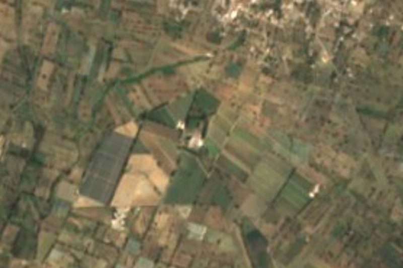
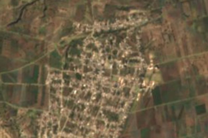



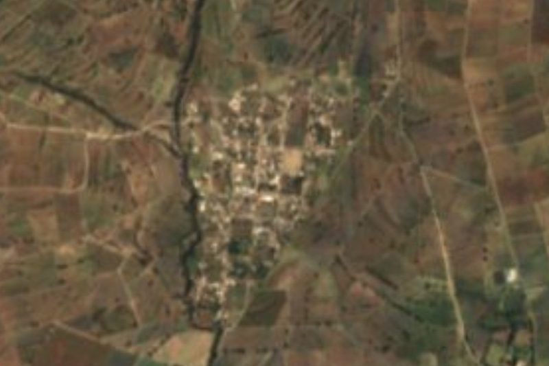
Drive times by road from OpenStreetMap, without traffic. Times marked ~ are estimated from the straight-line distance.
Location from OpenStreetMap. Written by Puebloteca.