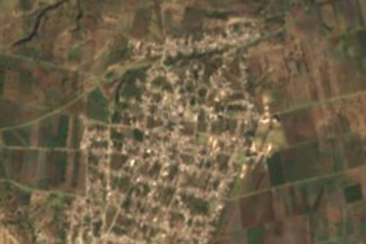
Village Nopalucan, Puebla La Malinche
Nopalucan's "flat place": a farming town more populous than its own municipal seat, on the plain where nearly everything is cooked with nopal.
From Huamantla: 30 min by car (29 km by road) How to get there ↓
Near here
See everything nearby ↓


Plan your visit to Santa María Ixtiyucan
Where to stay near Santa María Ixtiyucan
Compare hotels, posadas and guest houses in Santa María Ixtiyucan.
Tours to Santa María Ixtiyucan
Day trips and guided outings from Ixtenco often include Santa María Ixtiyucan; with a local guide you can get there without a car.
How to get to Santa María Ixtiyucan
- From Huamantla: about 30 min by road (~29 km)
- Nearest airport: Puebla (PBC), 1 h 16 min by car to Ixtenco
Links open a partner site. We may earn a commission if you book, at no cost to you.
About Santa María Ixtiyucan
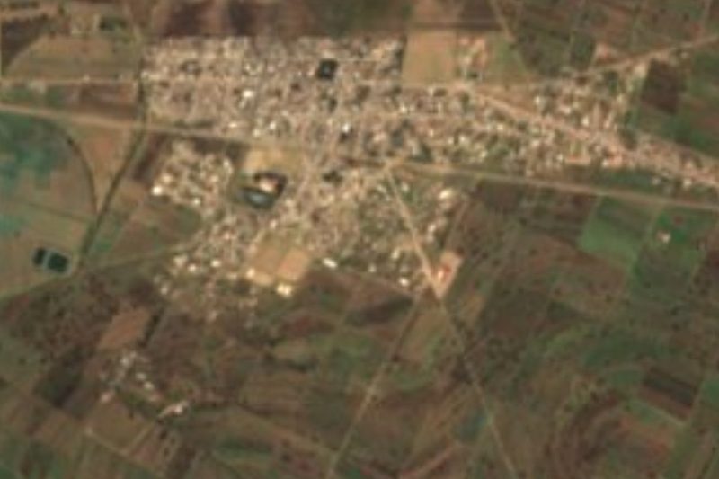
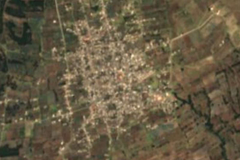
The name says it all: Ixtiyucan is built from ixtli, face or valley, yutl, quality, and can, place, and means "flat place". And indeed the town fills an open plain in eastern Puebla at 2,417 metres, with grid-plan streets and farmland to the horizon. Its patron is Saint Mary. A curious fact: with 8,707 inhabitants in 2020, Ixtiyucan is bigger than Nopalucan de la Granja, the municipal seat, which lies about 3 km to the north in a straight line and counted 7,699.
The municipality carries a long history for such a quiet place. The first settlements date back to around 9000 BC; in 1531 Nopalucan joined the first corregimiento of Tlaxcala, in 1535 it was granted in encomienda and by 1600 it came under the alcaldía mayor of Tepeaca. The church of Santiago Apóstol went up in the seat between 1691 and 1711, and María Antonia Bretón, wife of Guadalupe Victoria, was born there in 1814. Ignacio Zaragoza wrote letters to Benito Juárez from a local headquarters in 1862, and two years later Maximilian and Carlota rested in the old parish house. The seat's surname recalls Juan de la Granja, promoter of the country's first telegraph line, which linked Nopalucan with Mexico City.
Nopalucan means "place of the nopal patch", and the cooking lives up to it: nopal quesadillas, dried peas with nopales, mole poblano, sweets of nopal, tejocote, capulín and squash, and prickly-pear water to drink; the area is also known for good bakers. The traditional dress, of satin trimmed with sequins and ribbon, is printed with the Virgin of Solitude among nopal plants. Over 84% of the municipality is farmed and hardly any forest remains. Average temperatures run 12 to 16 °C with 500 to 900 mm of rain, and nearly all the land drains toward the Totolzingo lagoon. Carnival and religious fiestas are played on violin and by bands.
How to get to Santa María Ixtiyucan
Drive from Huamantla: 30 min, 29 km
Ixtiyucan lies about 3 km south of Nopalucan de la Granja in a straight line and about 44 km from Puebla city. The municipality borders Acajete to the west and Tepeaca and Acatzingo to the south, so you arrive via those towns; Ixtenco, in Tlaxcala, is about 15 km away as the crow flies.
Directions to Santa María Ixtiyucan on Google Maps
Distances are in a straight line; the road is usually longer.
Links open a partner site. We may earn a commission if you book, at no cost to you.
From the nearest cities to Santa María Ixtiyucan
- Huamantla · 29 km by road, 30 min
- Puebla · 55 km by road, 55 min
- Chiautempan · 69 km by road, 1 h 5 min
Drive times by road from OpenStreetMap, without traffic or stops. Times marked ~ are estimated from the straight-line distance.
Visiting Santa María Ixtiyucan: what to see and do
The farming plain that gives the town its name.
The church of Santiago Apóstol in Nopalucan, finished in 1711.
The monument to Juan de la Granja in the municipal seat.
Nopal dishes and sweets.
Plan your trip
Places to stay in Santa María Ixtiyucan
Compare hotels, posadas, and rentals in and around Santa María Ixtiyucan.
Tours & activities
Day trips and guided outings from Ixtenco often include Santa María Ixtiyucan; with a local guide you can get there without a car.
Rental cars
Pick up a car at PBC (Puebla): about 1 h 16 min by road to Ixtenco, then 15 km more to Santa María Ixtiyucan, on your own schedule.
Flights
The nearest airport with scheduled flights is Puebla (PBC), about 1 h 16 min by road from Ixtenco, the base for Santa María Ixtiyucan.
Mobile data
Signal can drop away from Ixtenco: download a map of the way to Santa María Ixtiyucan before you set out, or carry an eSIM with data.
Links open a partner site. We may earn a commission if you book, at no cost to you.
When to go to Santa María Ixtiyucan cool
Santa María Ixtiyucan shares the climate of Ixtenco, 15 km away. The best months to visit are February, March, November, and December.
See the month-by-month climate of Ixtenco
Weather in Santa María Ixtiyucan now and the next 7 days
Live forecast from Open-Meteo. Chance of rain is the day's highest.
The closest Pueblo Mágico: Ixtenco

Ixtenco is the Pueblo Mágico closest to Santa María Ixtiyucan, with places to stay, food, and more to see.
Also close to
- Huamantla · Tlaxcala · 18 km away
- Cholula · Puebla · 54 km away
- Tlaxco · Tlaxcala · 57 km away
- Huejotzingo · Puebla · 63 km away
- Tetela de Ocampo · Puebla · 70 km away
Closest to Santa María Ixtiyucan
-
Ciudad de Rafael Lara Grajales · Town · 4 km away
-
San José Chiapa · Town · 7 km away
-
Zitlaltépec · Town · 10 km away
-
Cerro El Pinal · Mountain · 11 km away
-
Cuapiaxtla · Town · 13 km away
-
Soltepec · Village · 13 km away
-
Mazapiltepec de Juárez · Village · 14 km away
-
Cerro Xalapasco · Mountain · 15 km away


Near Santa María Ixtiyucan



Drive times by road from OpenStreetMap, without traffic. Times marked ~ are estimated from the straight-line distance.
Location from OpenStreetMap. Written by Puebloteca.