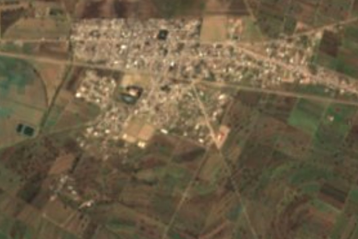
Town Huamantla, Tlaxcala Municipality of Huamantla La Malinche
Town in Huamantla municipality with 7,081 people in 2020, beside the Jalapa-Puebla rail line, about 10 km from Huamantla city.
From Huamantla: 15 min by car (14 km by road) How to get there ↓
Near here
See everything nearby ↓


Plan your visit to San José Xicohténcatl
Where to stay near San José Xicohténcatl
Compare hotels, posadas and guest houses in San José Xicohténcatl.
Tours to San José Xicohténcatl
Day trips around Huamantla sometimes stop in San José Xicohténcatl; a tour is the easy way to see it without a car.
 Tours from Puebla City
Africam Safari Zoo Admission with Transportation
★ 4.8 (87) · From US$35
How to get to San José Xicohténcatl
- From Huamantla: about 15 min by road (~14 km)
- Nearest airport: Puebla (PBC), 1 h 5 min by car to Huamantla
Links open a partner site. We may earn a commission if you book, at no cost to you.
Tours from Puebla City, near San José Xicohténcatl


Tours, prices and ratings from Viator, checked weekly. We may earn a commission if you book.
About San José Xicohténcatl
San José Xicohténcatl is a locality in Huamantla municipality, in eastern Tlaxcala, about 10 km in a straight line northeast of Huamantla city. It sits at roughly 2,440 metres above sea level on the railway line linking Jalapa with Puebla, and the 2020 census counted 7,081 people. That makes it the third-largest locality in the municipality, after Huamantla itself (59,871) and Ignacio Zaragoza (7,897). In 1940 only 575 people lived here and by 2010 the figure was 5,761, fast growth for a farming village.
The name joins the patron saint, Saint Joseph, with Xicohténcatl, the Tlaxcalan lord whose name is borne by many places and streets in the state. Wikipedia gives two founding dates that do not agree, 16 September and 16 December 1931, so only the year is safe to quote.
Life here revolves around the land. Most of Huamantla municipality is rain-fed farmland, and the town is described as a rural community of crops and livestock. The climate is temperate highland, with an average of about 13.8 °C and around 826 mm of rain a year, mostly in summer. In 2020 there were 1,533 occupied homes, nearly all with piped water and electricity, and INEGI lists small food businesses (antojitos, tortillerías, restaurants) with fewer than five employees each. The postal code is 90515.
How to get to San José Xicohténcatl
Drive from Huamantla: 15 min, 14 km
San José Xicohténcatl is about 7 to 10 km northeast of Huamantla city (roughly 15 minutes by car), right beside the Jalapa-Puebla rail line. Roads in the municipality are mostly secondary and rural, so the simplest approach is to leave Huamantla heading northeast and follow the signs to the town. Huamantla is about 45 km from Tlaxcala city, and the city of Puebla is about 52 km away (about 1 hour by car). There are no published schedules for a direct shared-transport service; ask in Huamantla about the combis and taxis that run to the town.
Directions to San José Xicohténcatl on Google Maps
Distances are in a straight line; the road is usually longer.
Links open a partner site. We may earn a commission if you book, at no cost to you.
From the nearest cities to San José Xicohténcatl
- Huamantla · 14 km by road, 15 min
- Chiautempan · 54 km by road, 45 min
- Puebla · 65 km by road, 55 min
Drive times by road from OpenStreetMap, without traffic or stops. Times marked ~ are estimated from the straight-line distance.
Visiting San José Xicohténcatl: what to see and do
The rain-fed farmland around the town, typical of the Tlaxcala highlands
The Jalapa-Puebla railway line that runs beside the locality
In Huamantla, about 10 km away: the Basilica of Our Lady of Charity and the 1585 Franciscan convent
On 14-15 August, Huamantla's Noche que nadie duerme, with sawdust carpets laid in the streets
Plan your trip
Places to stay in San José Xicohténcatl
Compare hotels, posadas, and rentals in and around San José Xicohténcatl.
Tours & activities
Day trips around Huamantla sometimes stop in San José Xicohténcatl; a tour is the easy way to see it without a car.
Rental cars
Pick up a car at PBC (Puebla): about 1 h 5 min by road to Huamantla, then 11 km more to San José Xicohténcatl, on your own schedule.
Flights
The nearest airport with scheduled flights is Puebla (PBC), about 1 h 5 min by road from Huamantla, the base for San José Xicohténcatl.
Mobile data
Signal can drop away from Huamantla: download a map of the way to San José Xicohténcatl before you set out, or carry an eSIM with data.
Links open a partner site. We may earn a commission if you book, at no cost to you.
When to go to San José Xicohténcatl cool
San José Xicohténcatl shares the climate of Huamantla, 11 km away. The best months to visit are January, February, November, and December.
See the month-by-month climate of Huamantla
Weather in San José Xicohténcatl now and the next 7 days
Live forecast from Open-Meteo. Chance of rain is the day's highest.
The closest Pueblo Mágico: Huamantla

Huamantla is the Pueblo Mágico closest to San José Xicohténcatl, with places to stay, food, and more to see.
Also close to
- Ixtenco · Tlaxcala · 16 km away
- Tlaxco · Tlaxcala · 42 km away
- Tetela de Ocampo · Puebla · 52 km away
- Chignahuapan · Puebla · 58 km away
- Cholula · Puebla · 60 km away
Closest to San José Xicohténcatl
-
Concepción Hidalgo · Town · 5 km away
-
Benito Juárez · Town · 9 km away
-
Cuapiaxtla · Town · 9 km away
-
Atltzayanca · Town · 10 km away
-
Hacienda Tecoac · Landmark · 11 km away
-
Hacienda Soltepec · Landmark · 12 km away
-
Cerro Xalapasco · Mountain · 14 km away
-
Ciudad de Rafael Lara Grajales · Town · 14 km away


Near San José Xicohténcatl



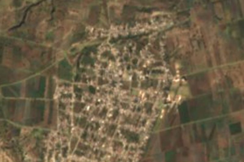



Drive times by road from OpenStreetMap, without traffic. Times marked ~ are estimated from the straight-line distance.
Location from OpenStreetMap. Written by Puebloteca.