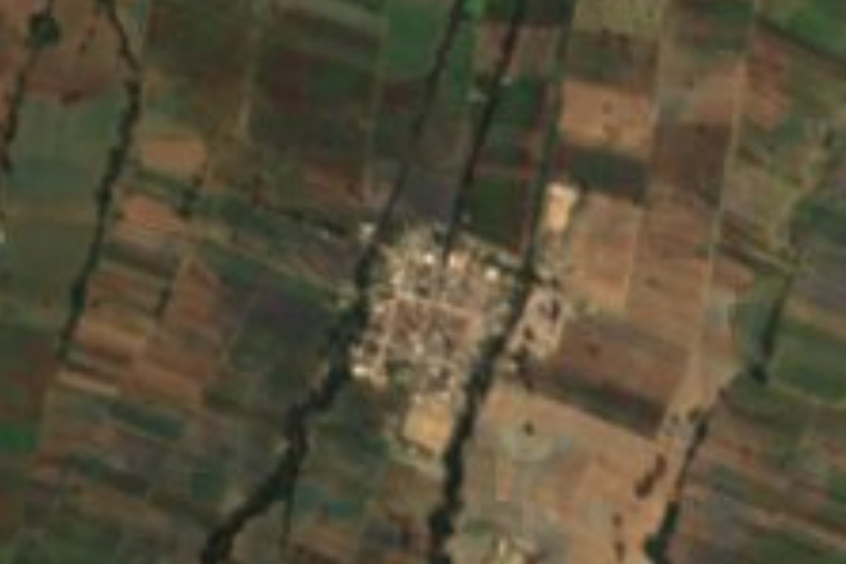
Village Huamantla, Tlaxcala Municipality of Huamantla La Malinche
Huamantla locality at 2,581 m whose Nahuatl name means 'on the hill of the grasshoppers'; 1,078 people in 2020.
From Huamantla: 10 min by car (12 km by road) How to get there ↓
Near here
See everything nearby ↓



Plan your visit to Chapultepec
Where to stay near Chapultepec
Compare hotels, posadas and guest houses in Chapultepec.
Tours to Chapultepec
Day trips and guided outings from Huamantla often include Chapultepec; with a local guide you can get there without a car.
 Early Access Chapultepec Castle & Anthropology Museum
★ 4.5 (1,506) · From US$83
How to get to Chapultepec
- From Huamantla: about 10 min by road (~12 km)
- Nearest airport: Puebla (PBC), 1 h 5 min by car to Huamantla
Links open a partner site. We may earn a commission if you book, at no cost to you.
Popular tours to Chapultepec


Tours, prices and ratings from Viator, checked weekly. We may earn a commission if you book.
About Chapultepec
Chapultepec is a locality in the municipality of Huamantla, at 2,581 metres above sea level, about 9 km (approx.) northwest of the municipal seat. Its name is Nahuatl, built from chapolin, 'grasshopper', tepetl, 'hill', and the locative suffix co: 'on the hill of the grasshoppers'. It shares its name with the well-known hill in Mexico City, but this is a different place with no connection to it.
The 2020 census counted 1,078 residents. The census series tells a story of slow, steady growth: 142 people in 1940, 217 in 1960, 513 in 1980, 769 in 2000 and 1,028 in 2010. The town of Huamantla, by comparison, had 59,871 residents in that census.
The surroundings are the plain of Huamantla, mostly rain-fed farmland like most of the municipality, with La Malinche volcano closing the horizon to the south. For visitors who come this far, the sights are in the town: the Museo Nacional del Títere, the Basílica de Nuestra Señora de la Caridad, the Museo Taurino, the Museo del Pulque and, all through August, the fair with its sawdust carpets.
How to get to Chapultepec
Drive from Huamantla: 10 min, 12 km
Chapultepec is about 9 km (approx.) northwest of the centre of Huamantla, roughly 10 minutes by car. Huamantla is 45 km from Tlaxcala and 56 km from Puebla, reached by federal highway 136 from Apizaco or by the 150D Mexico–Puebla toll road (about two hours from Mexico City). The ADO terminal in Huamantla, at Zaragoza Ote. 202, has first-class buses to Puebla and Mexico City (Suprabus from TAPO); from Puebla you change in Apizaco. There are no published schedules for combis or buses from Huamantla to the village, so a taxi or your own car from the centre is the practical choice.
Directions to Chapultepec on Google Maps
Distances are in a straight line; the road is usually longer.
Links open a partner site. We may earn a commission if you book, at no cost to you.
From the nearest cities to Chapultepec
- Huamantla · 12 km by road, 10 min
- Chiautempan · 32 km by road, 30 min
- San Martín Texmelucan · 58 km by road, 45 min
Drive times by road from OpenStreetMap, without traffic or stops. Times marked ~ are estimated from the straight-line distance.
Visiting Chapultepec: what to see and do
Walk through a locality whose Nahuatl name means 'on the hill of the grasshoppers'.
See La Malinche closing the horizon over the rain-fed fields.
Visit the Museo Nacional del Títere in Huamantla, at Parque Juárez No. 15.
Step into the Basílica de Nuestra Señora de la Caridad, patron of the August fair.
Try pulque at the haciendas of Soltepec, Tenexac or Casa Malinche.
Plan your trip
Places to stay in Chapultepec
Compare hotels, posadas, and rentals in and around Chapultepec.
Tours & activities
Day trips and guided outings from Huamantla often include Chapultepec; with a local guide you can get there without a car.
Rental cars
Pick up a car at PBC (Puebla): about 1 h 5 min by road to Huamantla, then 9 km more to Chapultepec, on your own schedule.
Flights
The nearest airport with scheduled flights is Puebla (PBC), about 1 h 5 min by road from Huamantla, the base for Chapultepec.
Mobile data
Signal can drop away from Huamantla: download a map of the way to Chapultepec before you set out, or carry an eSIM with data.
Links open a partner site. We may earn a commission if you book, at no cost to you.
When to go to Chapultepec cool
Chapultepec shares the climate of Huamantla, 9 km away. The best months to visit are January, February, November, and December.
See the month-by-month climate of Huamantla
Weather in Chapultepec now and the next 7 days
Live forecast from Open-Meteo. Chance of rain is the day's highest.
The closest Pueblo Mágico: Huamantla

Huamantla is the Pueblo Mágico closest to Chapultepec, with places to stay, food, and more to see.
Also close to
- Ixtenco · Tlaxcala · 13 km away
- Tlaxco · Tlaxcala · 32 km away
- Cholula · Puebla · 45 km away
- Huejotzingo · Puebla · 47 km away
- Chignahuapan · Puebla · 54 km away
Closest to Chapultepec
-
Cuauhtémoc · Village · 4 km away
-
Tocatlán · Town · 6 km away
-
San José Teacalco · Town · 7 km away
-
San Pedro Tlacotepec · Town · 7 km away
-
Zacazontetla · Village · 7 km away
-
San Juan Quetzalcoapan · Village · 8 km away
-
Xaloztoc · Town · 8 km away
-
Cuatlapanga · Mountain · 9 km away


Near Chapultepec






Drive times by road from OpenStreetMap, without traffic. Times marked ~ are estimated from the straight-line distance.
Location from OpenStreetMap. Written by Puebloteca.