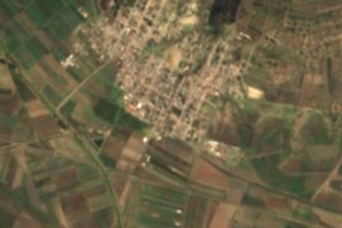
Town Huamantla, Tlaxcala Municipality of Huamantla La Malinche
Huamantla locality founded in 1938 with 5,736 people in 2020, the municipality's fourth largest, about 6 km north of the town centre.
From Huamantla: 10 min by car (7 km by road) How to get there ↓
Near here
See everything nearby ↓


Plan your visit to Benito Juárez
Where to stay near Benito Juárez
Compare hotels, posadas and guest houses in Benito Juárez.
Tours to Benito Juárez
Day trips around Huamantla sometimes stop in Benito Juárez; a tour is the easy way to see it without a car.
 Private Transportation from Benito Juarez Airport CDMX to Puebla
★ 5.0 (1) · From US$175
How to get to Benito Juárez
- From Huamantla: about 10 min by road (~7 km)
- Nearest airport: Puebla (PBC), 1 h 5 min by car to Huamantla
Links open a partner site. We may earn a commission if you book, at no cost to you.
Popular tours to Benito Juárez


Tours, prices and ratings from Viator, checked weekly. We may earn a commission if you book.
About Benito Juárez
Benito Juárez is the fourth most populous locality in the municipality of Huamantla: the 2020 census counted 5,736 residents, behind only the town of Huamantla itself, Ignacio Zaragoza and San José Xicohténcatl. It sits at about 2,440 metres above sea level in eastern Tlaxcala, on the lower slopes of La Malinche volcano, roughly 6 km north of the centre of Huamantla.
Its origins are recent. The locality was founded on 5 January 1938 and is named for President Benito Juárez, who governed from 1858 to 1872. Census figures show steady growth: 547 people in 1940, 1,379 in 1970, 2,652 in 1990, 3,601 in 2000 and 4,752 in 2010. In eight decades it went from barely five hundred residents to almost six thousand.
Visitors will not find a historic centre like Huamantla's, but it makes a practical base for the area. A few minutes away the town has the church of San Luis Obispo, the Museo Nacional del Títere on Parque Juárez and the pulque haciendas of Soltepec, Tenexac and Casa Malinche. The busiest date of the year in the region is the Feria de Huamantla in August, with the procession of the Virgen de la Caridad and the Noche que nadie duerme on 14-15 August, when the streets are covered in sawdust and flower carpets.
How to get to Benito Juárez
Drive from Huamantla: 10 min, 7 km
Benito Juárez lies about 6 km (approx.) north of the centre of Huamantla, which is 45 km from Tlaxcala and 56 km from Puebla. Huamantla is reached by federal highway 136 from Apizaco, or by the Mexico–Puebla toll road 150D if you are coming from Mexico City (about two hours by car). By bus, the ADO terminal in Huamantla is at Zaragoza Ote. 202 in the centre, with first-class service to Puebla and Mexico City (Suprabus from TAPO); from Puebla you change buses in Apizaco. There are no published public transport schedules between Huamantla and the village: the practical option is a taxi from the centre, about 10 minutes (approx.).
Directions to Benito Juárez on Google Maps
Distances are in a straight line; the road is usually longer.
Links open a partner site. We may earn a commission if you book, at no cost to you.
From the nearest cities to Benito Juárez
- Huamantla · 7 km by road, 10 min
- Chiautempan · 46 km by road, 40 min
- Puebla · 59 km by road, 55 min
Drive times by road from OpenStreetMap, without traffic or stops. Times marked ~ are estimated from the straight-line distance.
Before you go to Benito Juárez: hours, prices and tips
- Best season
- Feria de Huamantla in August, with the Noche que nadie duerme on 14-15 August and the Huamantlada on the last Saturday of the fair. Wikipedia · checked Oct 2026
Hours and prices change, especially around holidays. Each fact links to where we checked it.
Visiting Benito Juárez: what to see and do
Walk the streets of a locality founded in 1938 and named for Benito Juárez.
Head a few minutes to Huamantla to see the church of San Luis Obispo and the Palacio Municipal with its mural by Desiderio Hernández Xochitiotzin.
Visit the Museo Nacional del Títere at Parque Juárez No. 15, with puppets of the Rosete Aranda family.
See the pulque haciendas of Soltepec, Tenexac and Casa Malinche.
Come in August for the Feria de Huamantla and the Noche que nadie duerme, 14-15 August.
Plan your trip
Places to stay in Benito Juárez
Compare hotels, posadas, and rentals in and around Benito Juárez.
Tours & activities
Day trips around Huamantla sometimes stop in Benito Juárez; a tour is the easy way to see it without a car.
Rental cars
Pick up a car at PBC (Puebla): about 1 h 5 min by road to Huamantla, then 7 km more to Benito Juárez, on your own schedule.
Flights
The nearest airport with scheduled flights is Puebla (PBC), about 1 h 5 min by road from Huamantla, the base for Benito Juárez.
Mobile data
Signal can drop away from Huamantla: download a map of the way to Benito Juárez before you set out, or carry an eSIM with data.
Links open a partner site. We may earn a commission if you book, at no cost to you.
When to go to Benito Juárez cool
Benito Juárez shares the climate of Huamantla, 7 km away. The best months to visit are January, February, November, and December.
See the month-by-month climate of Huamantla
Weather in Benito Juárez now and the next 7 days
Live forecast from Open-Meteo. Chance of rain is the day's highest.
The closest Pueblo Mágico: Huamantla

Huamantla is the Pueblo Mágico closest to Benito Juárez, with places to stay, food, and more to see.
Also close to
- Ixtenco · Tlaxcala · 14 km away
- Tlaxco · Tlaxcala · 35 km away
- Tetela de Ocampo · Puebla · 51 km away
- Chignahuapan · Puebla · 53 km away
- Cholula · Puebla · 54 km away
Closest to Benito Juárez
-
Hacienda Tecoac · Landmark · 2 km away
-
Cuauhtémoc · Village · 7 km away
-
Hacienda Soltepec · Landmark · 9 km away
-
San José Xicohténcatl · Town · 9 km away
-
Chapultepec · Village · 10 km away
-
Concepción Hidalgo · Town · 10 km away
-
Tocatlán · Town · 12 km away
-
Cerro Xalapasco · Mountain · 13 km away


Near Benito Juárez




Drive times by road from OpenStreetMap, without traffic. Times marked ~ are estimated from the straight-line distance.
Location from OpenStreetMap. Written by Puebloteca.