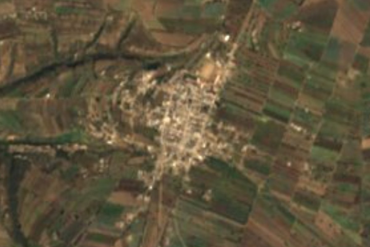
Town Atltzayanca, Tlaxcala La Malinche
Second-largest locality in Atltzayanca, with 2,845 people at about 2,590 m; its name joins the Immaculate Conception with Miguel Hidalgo.
From Huamantla: 20 min by car (19 km by road) How to get there ↓
Near here
See everything nearby ↓
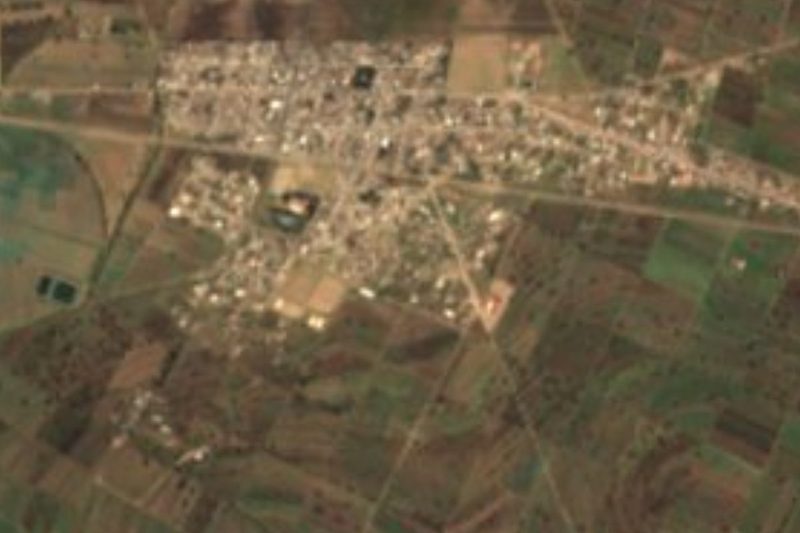
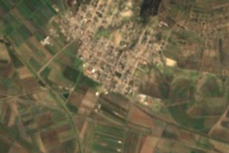


Plan your visit to Concepción Hidalgo
Where to stay near Concepción Hidalgo
Compare hotels, posadas and guest houses in Concepción Hidalgo.
Tours to Concepción Hidalgo
Day trips around Huamantla sometimes stop in Concepción Hidalgo; a tour is the easy way to see it without a car.
 Tours from Puebla City
Africam Safari Zoo Admission with Transportation
★ 4.8 (87) · From US$35
How to get to Concepción Hidalgo
- From Huamantla: about 20 min by road (~19 km)
- Nearest airport: Puebla (PBC), 1 h 5 min by car to Huamantla
Links open a partner site. We may earn a commission if you book, at no cost to you.
Tours from Puebla City, near Concepción Hidalgo


Tours, prices and ratings from Viator, checked weekly. We may earn a commission if you book.
About Concepción Hidalgo
Concepción Hidalgo is, after the municipal seat, the largest locality in the municipality of Atltzayanca: at the 2020 census it had 2,845 inhabitants (1,413 women and 1,432 men), against 2,367 in 2010 and 2,227 in 2005. It sits at about 2,590 metres above sea level and about 4.4 km in a straight line from Atltzayanca, in eastern Tlaxcala, in the highlands around La Malinche.
The name joins two references: "Concepción" for its patron, Nuestra Señora de la Inmaculada Concepción, and "Hidalgo" in honour of Miguel Hidalgo, the priest of Mexican Independence. The community has its own community president and was already listed with its own authority in the state's 2014 official gazette.
It is a young, working village: in 2020 there were 666 occupied homes, nearly all with electricity and piped water, and 289 people aged 60 or over against 1,731 adults aged 15 to 59. Its streets have family eateries, antojitos stands, taquerías and shops selling pulque, a typical drink of the region. The climate is cool, with an average annual temperature of about 12.8 °C and almost 830 mm of rain a year.
To the west, about 4 km away, is Cerro La Cantera (2,591 m); the village is surrounded by ranches and hamlets such as Mazehualpa, Rancho Ocotla and San José Xalasco.
How to get to Concepción Hidalgo
Drive from Huamantla: 20 min, 19 km
Concepción Hidalgo is in the municipality of Atltzayanca, about 48 km east of Tlaxcala city according to the municipality's profile, and about 4.4 km in a straight line from the seat, Atltzayanca. Huamantla, a Pueblo Mágico, lies to the southwest: locality guides give between 21 and 30 km and roughly 21 to 30 minutes by car, approx. Ixtenco, also a Pueblo Mágico, is about 26 km away (26 minutes by car). From Puebla city it is about 56 km and roughly 65 minutes. By public transport the usual way is to reach Huamantla or Atltzayanca and take local transport from there; there are no published routes or schedules, so ask at the Huamantla terminal or in Atltzayanca's main square. A car is the most practical way to explore the area.
Directions to Concepción Hidalgo on Google Maps
Distances are in a straight line; the road is usually longer.
Links open a partner site. We may earn a commission if you book, at no cost to you.
From the nearest cities to Concepción Hidalgo
- Huamantla · 19 km by road, 20 min
- Chiautempan · 59 km by road, 50 min
- Puebla · 70 km by road, 1 h
Drive times by road from OpenStreetMap, without traffic or stops. Times marked ~ are estimated from the straight-line distance.
Visiting Concepción Hidalgo: what to see and do
The community's church, under the Immaculate Conception
The village's eateries, antojitos stands and pulque sellers
Atltzayanca, the municipal seat, about 4.4 km away, with the church of Santiago Apóstol
Huamantla, a Pueblo Mágico, about 21 to 30 km away
Ixtenco, a Pueblo Mágico, about 26 km away
Plan your trip
Places to stay in Concepción Hidalgo
Compare hotels, posadas, and rentals in and around Concepción Hidalgo.
Tours & activities
Day trips around Huamantla sometimes stop in Concepción Hidalgo; a tour is the easy way to see it without a car.
Rental cars
Pick up a car at PBC (Puebla): about 1 h 5 min by road to Huamantla, then 14 km more to Concepción Hidalgo, on your own schedule.
Flights
The nearest airport with scheduled flights is Puebla (PBC), about 1 h 5 min by road from Huamantla, the base for Concepción Hidalgo.
Mobile data
Signal can drop away from Huamantla: download a map of the way to Concepción Hidalgo before you set out, or carry an eSIM with data.
Links open a partner site. We may earn a commission if you book, at no cost to you.
When to go to Concepción Hidalgo cool
Concepción Hidalgo shares the climate of Huamantla, 14 km away. The best months to visit are January, February, November, and December.
See the month-by-month climate of Huamantla
Weather in Concepción Hidalgo now and the next 7 days
Live forecast from Open-Meteo. Chance of rain is the day's highest.
The closest Pueblo Mágico: Huamantla

Huamantla is the Pueblo Mágico closest to Concepción Hidalgo, with places to stay, food, and more to see.
Also close to
- Ixtenco · Tlaxcala · 20 km away
- Tlaxco · Tlaxcala · 40 km away
- Tetela de Ocampo · Puebla · 47 km away
- Chignahuapan · Puebla · 53 km away
- Tlatlauquitepec · Puebla · 61 km away
Closest to Concepción Hidalgo
-
Atltzayanca · Town · 4 km away
-
San José Xicohténcatl · Town · 5 km away
-
Benito Juárez · Town · 10 km away
-
Chipilo (Ixtacamaxtitlán) · Village · 11 km away
-
Hacienda Tecoac · Landmark · 11 km away
-
Cuapiaxtla · Town · 13 km away
-
San Carlos · Village · 14 km away
-
San Juan · Village · 15 km away

Near Concepción Hidalgo


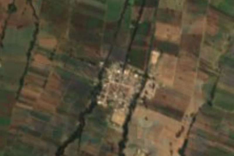


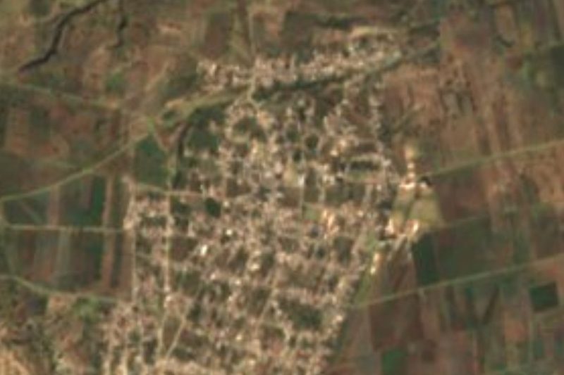
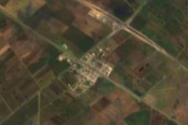
Drive times by road from OpenStreetMap, without traffic. Times marked ~ are estimated from the straight-line distance.
Location from OpenStreetMap. Written by Puebloteca.