

Town El Carmen Tequexquitla, Tlaxcala
Seat of the municipality at Tlaxcala's far eastern edge, with a Virgen del Carmen fiesta on 16 July and a bull run.
From Huamantla: 25 min by car (30 km by road) How to get there ↓
Near here
See everything nearby ↓
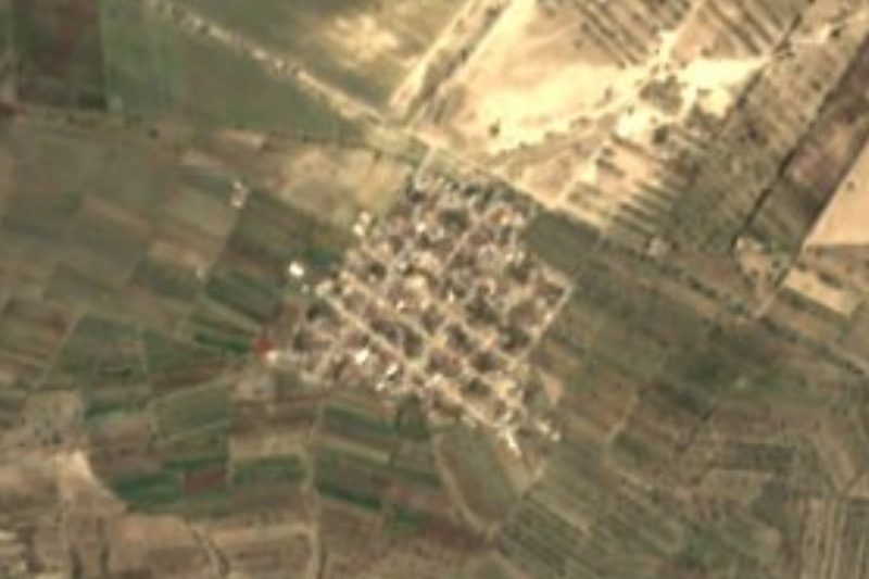


Plan your visit to Villa de El Carmen Tequexquitla
Where to stay near Villa de El Carmen Tequexquitla
Compare hotels, posadas and guest houses in Villa de El Carmen Tequexquitla.
Tours to Villa de El Carmen Tequexquitla
Day trips around Huamantla sometimes stop in Villa de El Carmen Tequexquitla; a tour is the easy way to see it without a car.
How to get to Villa de El Carmen Tequexquitla
- From Huamantla: about 25 min by road (~30 km)
- Nearest airport: Puebla (PBC), 1 h 5 min by car to Huamantla
Links open a partner site. We may earn a commission if you book, at no cost to you.
About Villa de El Carmen Tequexquitla
Villa de El Carmen Tequexquitla is the seat of the municipality of the same name, at the far eastern edge of Tlaxcala and surrounded by the state of Puebla. It lies at about 2,370 metres, roughly 63 km east of Tlaxcala city, and had 14,004 residents at the 2020 census. The name comes from Nahuatl and means a place where tequesquite abounds, the natural salt of alkaline soils; the locality is recorded as founded on 19 September 1804, and El Carmen refers to its patron, the Virgen del Carmen.
The parish of Nuestra Señora del Carmen is in a popular style, with contrasting colours and a yellow-and-brown facade dating from the 19th century; its walls are stone and the roof is a barrel vault. Nearby stands the Compañía church, from about 1890, which was left unfinished and keeps only part of its walls. The municipality is plains and low hills, scrub, some pine and part of the Totolcingo lagoon.
The main fiesta is 16 July. On the night of 15 to 16 July there is a procession with dances, carpets of fruit and seeds, sawdust carpets and flowers; the Negritos, Segadores, Monarcas, Tocotines and Inditos are danced to violin music. The closing of the fair includes a bull run through the centre, Huamantla style. Local crafts include pictures made of popotillo and tule, sotol-palm basketry and a talavera workshop; at the table, tlacoyos, mutton barbacoa in mixiote and white pit barbacoa.
How to get to Villa de El Carmen Tequexquitla
Drive from Huamantla: 25 min, 30 km
El Carmen Tequexquitla is about 63 km east of Tlaxcala city and borders Puebla to the north, south and east. According to Rome2Rio there is no direct bus from Mexico City: take one from TAPO to the Puebla CAPU terminal (ADO, Estrella Roja and others, roughly 2 h 10 min to 3 h) and then an Autobuses Via bus toward El Carmen, about 1 h 12 min with frequent departures; these are estimates. By car from TAPO it is about 175 km and 2 h 30 min. Huamantla, the nearest Pueblo Mágico, is about 40 minutes by car, according to Pueblos de América.
Directions to Villa de El Carmen Tequexquitla on Google Maps
Distances are in a straight line; the road is usually longer.
Links open a partner site. We may earn a commission if you book, at no cost to you.
From the nearest cities to Villa de El Carmen Tequexquitla
- Huamantla · 30 km by road, 25 min
- Chiautempan · 70 km by road, 1 h
- Teziutlán · 80 km by road, 1 h
Drive times by road from OpenStreetMap, without traffic or stops. Times marked ~ are estimated from the straight-line distance.
Before you go to Villa de El Carmen Tequexquitla: hours, prices and tips
- Best season
- Fiesta of the Virgen del Carmen on 16 July, with a procession on the night of 15 to 16 July and a bull run at the close of the fair. Wikipedia (Municipio de El Carmen Tequexquitla) · checked Oct 2026
Hours and prices change, especially around holidays. Each fact links to where we checked it.
Visiting Villa de El Carmen Tequexquitla: what to see and do
Parish of Nuestra Señora del Carmen, 19th century, with a yellow-and-brown facade.
The Compañía church, from about 1890, left unfinished.
Procession and carpets on the night of 15 to 16 July, with Negritos and Segadores dances.
Bull run at the close of the fair, through the centre of town.
Crafts in popotillo, tule and sotol, and tlacoyos and mutton barbacoa in mixiote.
Plan your trip
Places to stay in Villa de El Carmen Tequexquitla
Compare hotels, posadas, and rentals in and around Villa de El Carmen Tequexquitla.
Tours & activities
Day trips around Huamantla sometimes stop in Villa de El Carmen Tequexquitla; a tour is the easy way to see it without a car.
Rental cars
Pick up a car at PBC (Puebla): about 1 h 5 min by road to Huamantla, then 28 km more to Villa de El Carmen Tequexquitla, on your own schedule.
Flights
The nearest airport with scheduled flights is Puebla (PBC), about 1 h 5 min by road from Huamantla, the base for Villa de El Carmen Tequexquitla.
Mobile data
Signal can drop away from Huamantla: download a map of the way to Villa de El Carmen Tequexquitla before you set out, or carry an eSIM with data.
Links open a partner site. We may earn a commission if you book, at no cost to you.
When to go to Villa de El Carmen Tequexquitla cool
Villa de El Carmen Tequexquitla shares the climate of Huamantla, 28 km away. The best months to visit are January, February, November, and December.
See the month-by-month climate of Huamantla
Weather in Villa de El Carmen Tequexquitla now and the next 7 days
Live forecast from Open-Meteo. Chance of rain is the day's highest.
The closest Pueblo Mágico: Huamantla

Huamantla is the Pueblo Mágico closest to Villa de El Carmen Tequexquitla, with places to stay, food, and more to see.
Also close to
- Ixtenco · Tlaxcala · 31 km away
- Tetela de Ocampo · Puebla · 57 km away
- Tlaxco · Tlaxcala · 59 km away
- Tlatlauquitepec · Puebla · 61 km away
- Teziutlán · Puebla · 67 km away
Closest to Villa de El Carmen Tequexquitla
-
Oriental · Village · 7 km away
-
Miravalles · Village · 12 km away
-
Cuapiaxtla · Town · 13 km away
-
San Carlos · Village · 13 km away
-
San José Chiapa · Town · 15 km away
-
Libres · Town · 16 km away
-
San Juan · Village · 16 km away
-
San Miguel · Village · 16 km away
Near Villa de El Carmen Tequexquitla




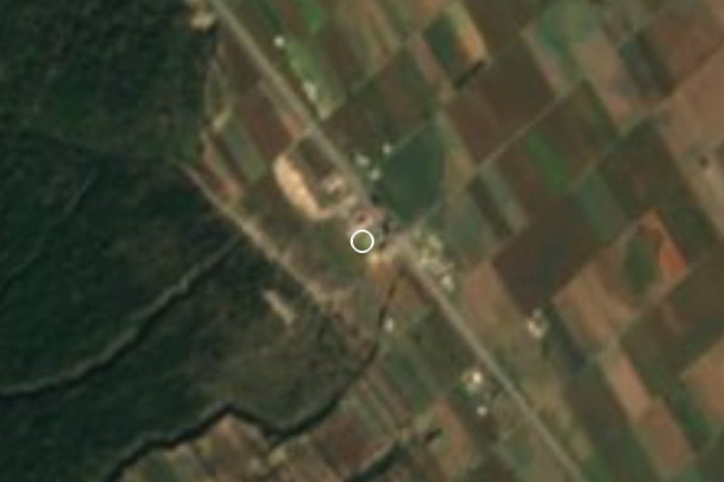


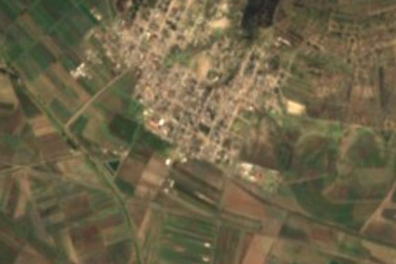
Drive times by road from OpenStreetMap, without traffic. Times marked ~ are estimated from the straight-line distance.
Location from OpenStreetMap. Written by Puebloteca.