Village Libres, Puebla Municipality of Libres
Libres village named for Saint Charles Borromeo, at 2,411 m on the edge of the Llanos de San Juan, a land of barley, potatoes, barbacoa and pulque.
From Huamantla: 35 min by car (43 km by road) How to get there ↓
Near here
See everything nearby ↓


Plan your visit to San Carlos
Where to stay near San Carlos
Compare hotels, posadas and guest houses in San Carlos.
Tours to San Carlos
Day trips and guided outings from Huamantla often include San Carlos; with a local guide you can get there without a car.
How to get to San Carlos
- From Huamantla: about 35 min by road (~43 km)
- Nearest airport: Puebla (PBC), 1 h 5 min by car to Huamantla
Links open a partner site. We may earn a commission if you book, at no cost to you.
About San Carlos
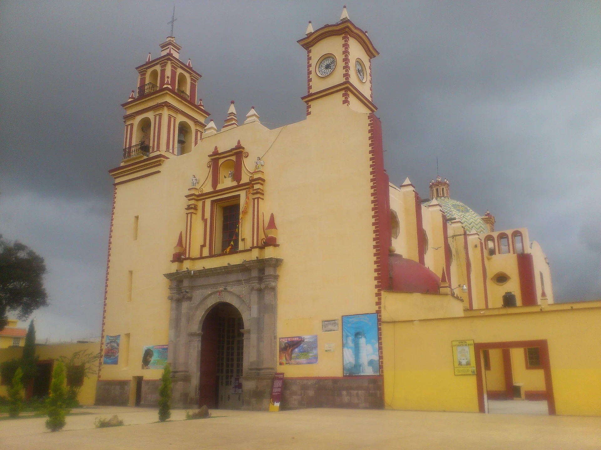
Its name comes from Charles Borromeo, the saint the village keeps as its patron. San Carlos belongs to Libres, in north-central Puebla, and sits at 2,411 metres; the 2020 census counted 2,199 residents. As the crow flies it is about 69 km from the city of Puebla and 28 km from Huamantla, across the line in Tlaxcala. The photo shows the church of San Juan Bautista in the nearby town of Libres, the municipal seat, a few kilometres away.
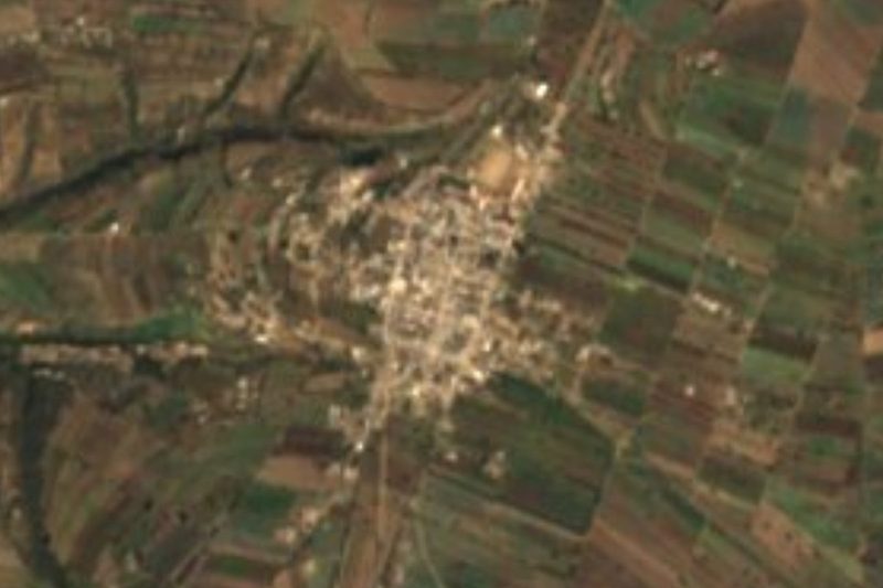
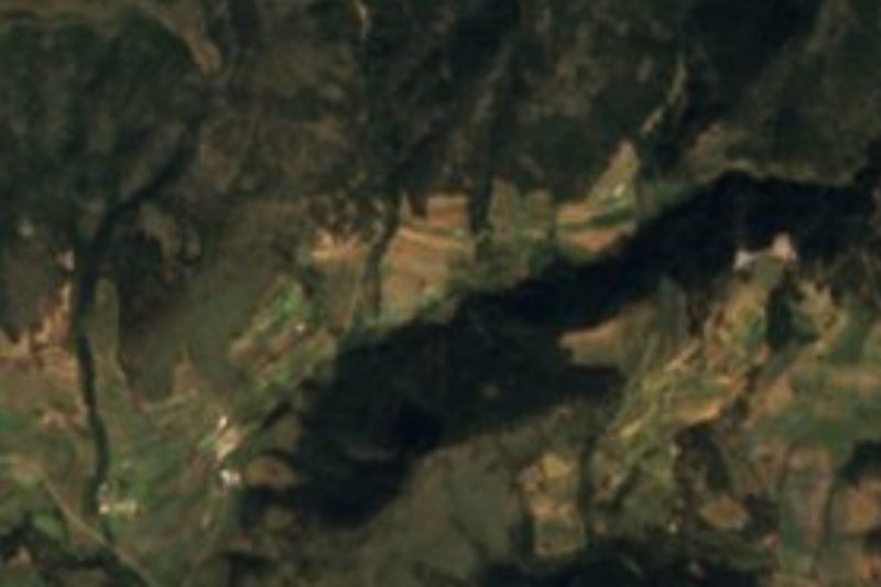
The territory of Libres, almost 275 km², has two very different faces. To the east lies a plain on an old lake bed, part of the Llanos de San Juan, at around 2,360 m; to the west the ground breaks into mountains that already belong to the Sierra Norte, and along the border with Tlaxcala runs another range that reaches 3,200 m in places. There are no permanent rivers: the streams rise in the hills, flow only in season, and many end up in a ravine that crosses the municipality from west to east, known as La Cañada. Other seasonal channels are the Cacaloco, Caja de Agua, La Zacapipila and Tulimán. In the west there are springs whose water is piped to supply the towns.
This is cold and rather dry country: average temperatures run from 10 to 16 °C, with 400 to 900 mm of rain a year. Nearly two thirds of the municipal land is farmed and about a quarter is still forest. On the plain the big fields grow barley, maize, potatoes, tomatoes and alfalfa; in the hills people work small plots, watered from the little streams even in winter, with broad beans, squash, oats and beans. That larder shows on the local table, with lamb barbacoa, broad-bean stews, tamales, chileatole and mole poblano, apple and tejocote preserves or candied squash for dessert, and pulque to drink.
How to get to San Carlos
Drive from Huamantla: 35 min, 43 km
San Carlos lies about 69 km in a straight line northeast of the city of Puebla, very close to the town of Libres, which is itself some 65 km from the state capital. Huamantla, in Tlaxcala, is 28 km away. The practical approach is to reach Libres first and continue on local roads to the village.
Directions to San Carlos on Google Maps
Distances are in a straight line; the road is usually longer.
Links open a partner site. We may earn a commission if you book, at no cost to you.
From the nearest cities to San Carlos
- Huamantla · 43 km by road, 35 min
- Teziutlán · 67 km by road, 55 min
- Chiautempan · 83 km by road, 1 h 10 min
Drive times by road from OpenStreetMap, without traffic or stops. Times marked ~ are estimated from the straight-line distance.
Visiting San Carlos: what to see and do
The landscape is the main thing: the edge of the Llanos de San Juan with its barley and potato fields and, behind them, the ranges along the Tlaxcala border. In the municipal seat, Libres, stands the parish church that was consecrated with the old ritual in 1968, on its 400th anniversary, a distinction few churches have.
Plan your trip
Places to stay in San Carlos
Compare hotels, posadas, and rentals in and around San Carlos.
Tours & activities
Day trips and guided outings from Huamantla often include San Carlos; with a local guide you can get there without a car.
Rental cars
Pick up a car at PBC (Puebla): about 1 h 5 min by road to Huamantla, then 28 km more to San Carlos, on your own schedule.
Flights
The nearest airport with scheduled flights is Puebla (PBC), about 1 h 5 min by road from Huamantla, the base for San Carlos.
Mobile data
Signal can drop away from Huamantla: download a map of the way to San Carlos before you set out, or carry an eSIM with data.
Links open a partner site. We may earn a commission if you book, at no cost to you.
When to go to San Carlos cool
San Carlos shares the climate of Huamantla, 28 km away. The best months to visit are January, February, November, and December.
See the month-by-month climate of Huamantla
Weather in San Carlos now and the next 7 days
Live forecast from Open-Meteo. Chance of rain is the day's highest.
The closest Pueblo Mágico: Huamantla

Huamantla is the Pueblo Mágico closest to San Carlos, with places to stay, food, and more to see.
Also close to
- Ixtenco · Tlaxcala · 33 km away
- Tetela de Ocampo · Puebla · 44 km away
- Tlaxco · Tlaxcala · 49 km away
- Tlatlauquitepec · Puebla · 50 km away
- Chignahuapan · Puebla · 57 km away
Closest to San Carlos
-
San Juan · Village · 2 km away
-
Libres · Town · 3 km away
-
San Miguel · Village · 3 km away
-
Oriental · Village · 10 km away
-
Atltzayanca · Town · 11 km away
-
Villa de El Carmen Tequexquitla · Town · 13 km away
-
Concepción Hidalgo · Town · 14 km away
-
Chipilo (Ixtacamaxtitlán) · Village · 18 km away
Near San Carlos

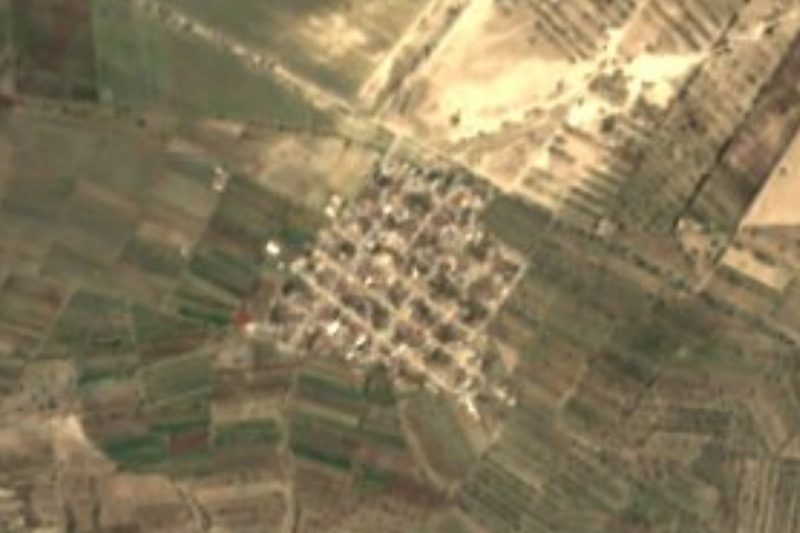


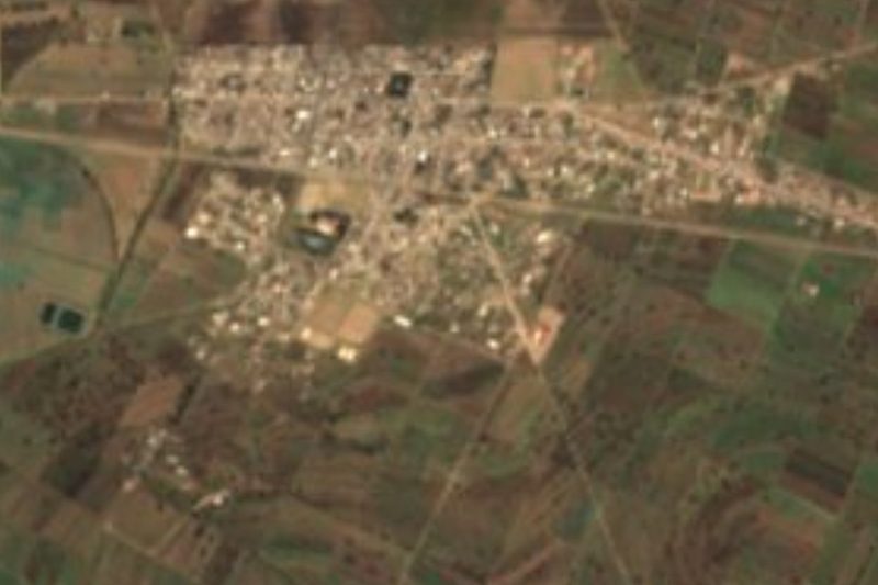



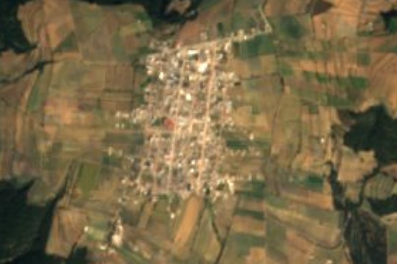

Drive times by road from OpenStreetMap, without traffic. Times marked ~ are estimated from the straight-line distance.
Location from OpenStreetMap. Written by Puebloteca.