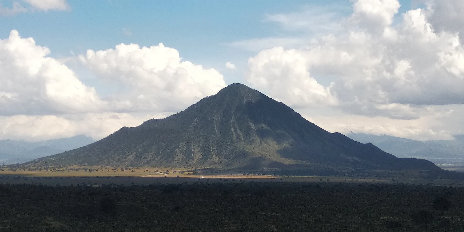
Mountain Tepeyahualco, Puebla Municipality of Tepeyahualco
A 3,080 m rhyolite volcano beside the Amozoc–Xalapa highway; a half-day climb of about 6 km and 650 m of ascent.
From Huamantla: 45 min by car (60 km by road) How to get there ↓
Near here
See everything nearby ↓


Plan your visit to Cerro Pizarro
Where to stay near Cerro Pizarro
Compare hotels, posadas and guest houses in Cerro Pizarro.
Tours to Cerro Pizarro
Day trips and guided outings from Tlatlauquitepec often include Cerro Pizarro; with a local guide you can get there without a car.
 Tours from Puebla City
Africam Safari Zoo Admission with Transportation
★ 4.8 (87) · From US$35
How to get to Cerro Pizarro
- From Huamantla: about 45 min by road (~60 km)
- Nearest airport: Poza Rica (PAZ), 2 h 6 min by car to Tlatlauquitepec
Links open a partner site. We may earn a commission if you book, at no cost to you.
Tours from Puebla City, near Cerro Pizarro


Tours, prices and ratings from Viator, checked weekly. We may earn a commission if you book.
About Cerro Pizarro
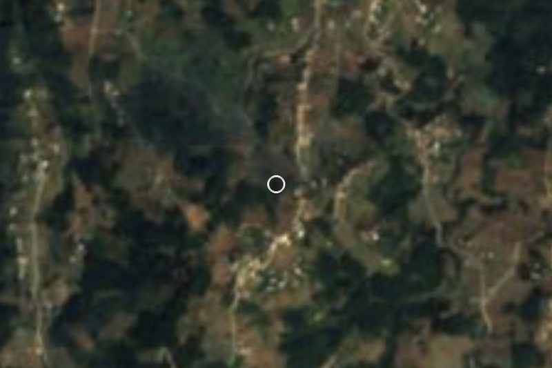
Cerro Pizarro is a 3,080 m conical volcano in the municipality of Tepeyahualco in eastern Puebla. It stands on the Llanos de San Juan, the closed, semi-arid basin it shares with Las Derrumbadas and the region's crater lakes, next to the villages of San Nicolás Pizarro and Guadalupe Sarabia. Federal toll highway 140D (Amozoc–Xalapa) wraps around its north side. A few kilometres west, north and east begins the Los Humeros malpaís, the lava field where the pre-Hispanic city of Cantona flourished, and to the south lies El Salado, one of the basin's two large seasonal salt lakes.
Although it is made of rhyolite, Pizarro was not built by a single eruption: geologists describe it as a polygenetic volcano with some features of a stratovolcano. It began forming about 220,000 years ago in three eruptive episodes in fairly quick succession, and a fourth, about 65,000 years ago, pushed up the dome you see today.
Rain is scarce, a little under 500 mm a year and mostly in summer, and the mean temperature is about 14 °C. The slopes carry dry scrub that turns into mixed forest near the top, with piñon and smooth-leaf pine, alligator juniper, scrub oak, madrone, sotol, agaves and barrel cacti; rabbits, coyotes, grey foxes and birds of prey live here. It is a moderately popular hike: the outing fits in half a day, about 6 km with 650 m of ascent, and the summit looks out over the whole Oriental valley and the high peaks around it.
How to get to Cerro Pizarro
Drive from Huamantla: 45 min, 60 km
The hill sits right beside toll highway 140D Amozoc–Xalapa, which skirts its north side, in the municipality of Tepeyahualco. The climb starts from the neighbouring villages, San Nicolás Pizarro or Guadalupe Sarabia, on dirt roads that become footpaths near the dome. Puebla city is about 96 km away in a straight line and Xalapa about 55 km, roughly 1 h 5 min by car; the nearest Pueblo Mágico, Tlatlauquitepec, is about 39 km away. Your own vehicle is the practical way to get there.
Directions to Cerro Pizarro on Google Maps
Distances are in a straight line; the road is usually longer.
Links open a partner site. We may earn a commission if you book, at no cost to you.
From the nearest cities to Cerro Pizarro
Drive times by road from OpenStreetMap, without traffic or stops. Times marked ~ are estimated from the straight-line distance.
Before you go to Cerro Pizarro: hours, prices and tips
- Time needed
- The hike takes half a day at most: about 6 km with 650 m of ascent. Wikipedia · checked Oct 2026
Hours and prices change, especially around holidays. Each fact links to where we checked it.
Visiting Cerro Pizarro: what to see and do
The 3,080 m summit, with views over the Oriental valley.
The dome pushed up about 65,000 years ago.
The pine, oak and madrone forest near the top.
El Salado salt lake to the south and the Los Humeros lava field around it.
Pair it with the Cantona archaeological site a few kilometres away.
Plan your trip
Places to stay in Cerro Pizarro
Compare hotels, posadas, and rentals in and around Cerro Pizarro.
Tours & activities
Day trips and guided outings from Tlatlauquitepec often include Cerro Pizarro; with a local guide you can get there without a car.
Rental cars
Pick up a car at PAZ (Poza Rica): about 2 h 6 min by road to Tlatlauquitepec, then 39 km more to Cerro Pizarro, on your own schedule.
Flights
The nearest airport with scheduled flights is Poza Rica (PAZ), about 2 h 6 min by road from Tlatlauquitepec, the base for Cerro Pizarro.
Travel insurance
If you plan on hiking at altitude at Cerro Pizarro, check that your policy covers it: some plans leave adventure activities out.
Mobile data
Signal can drop away from Tlatlauquitepec: download a map of the way to Cerro Pizarro before you set out, or carry an eSIM with data.
Links open a partner site. We may earn a commission if you book, at no cost to you.
When to go to Cerro Pizarro cool
Cerro Pizarro shares the climate of Tlatlauquitepec, 39 km away. The best months to visit are February, March, April, and May.
For the clearest views from Cerro Pizarro, go in the driest months (January, February, March, and December); in the rains, clouds tend to build up by midday.
See the month-by-month climate of Tlatlauquitepec
Weather in Cerro Pizarro now and the next 7 days
Live forecast from Open-Meteo. Chance of rain is the day's highest.
The closest Pueblo Mágico: Tlatlauquitepec

Tlatlauquitepec is the Pueblo Mágico closest to Cerro Pizarro, with places to stay, food, and more to see.
Also close to
- Teziutlán · Puebla · 39 km away
- Xico · Veracruz · 47 km away
- Coatepec · Veracruz · 51 km away
- Tetela de Ocampo · Puebla · 52 km away
- Huamantla · Tlaxcala · 55 km away
Closest to Cerro Pizarro
-
Tepeyahualco · Village · 6 km away
-
Cantona · Archaeological site · 7 km away
-
Chichicuautla · Village · 14 km away
-
Laguna de Atexcac · Lake · 19 km away
-
Fortaleza de San Carlos · Landmark · 21 km away
-
La Gloria · Village · 21 km away
-
Miravalles · Village · 21 km away
-
Perote · Town · 21 km away
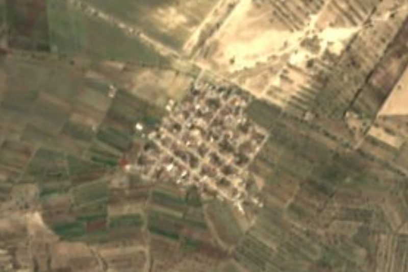

Near Cerro Pizarro


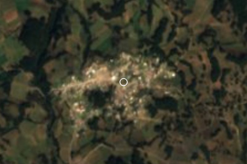



Drive times by road from OpenStreetMap, without traffic. Times marked ~ are estimated from the straight-line distance.
Lists with Cerro Pizarro
Mountains in Puebla · 8 Mountains near Teziutlán · 3 Mountains near Xico · 4 Mountains near Tetela de Ocampo · 3 Mountains near Huamantla · 11Location from OpenStreetMap. Written by Puebloteca.