3 mountains · within 60 km
There are 3 mountains within 60 km of Teziutlán in a straight line, an hour or a little more by road. The closest is Cerro Pizarro, 35 km away; the farthest, Las Derrumbadas, is 60 km. They are all listed under Xico, a Pueblo Mágico that makes a good base.
Start early: summits are usually clearest in the morning, and rainy-season afternoons bring clouds and storms. Nights get cold at altitude.
Best months, when most of these towns are dry with comfortable afternoons: Feb, Mar, Apr, May.
The Mountains 3
-
Cerro Pizarro · Mountain · 35 km from Teziutlán · Puebla
A 3,080 m rhyolite volcano beside the Amozoc–Xalapa highway; a half-day climb of about 6 km and 650 m of ascent. -
Cofre de Perote · Mountain · 42 km from Teziutlán · Near Xico
The 4,282 m volcano that looms over Xico, a national park of pine and fir forest with a road almost to the rocky summit. -
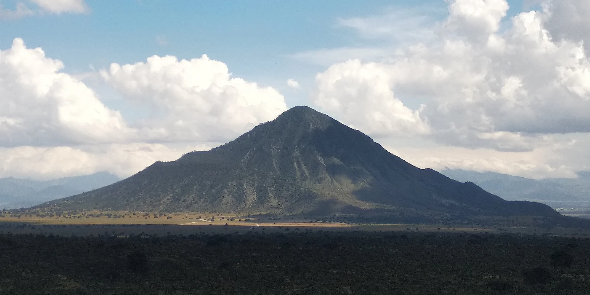
Las Derrumbadas · Mountain · 60 km from Teziutlán · Puebla
Twin rhyolite volcanic domes, the Red (3,480 m) and the Blue (3,420 m), on the Llanos de San Juan; among Mexico's 30 highest peaks.


On the map
Distances are in a straight line; roads add about a third.
Where to stay
The Pueblos Mágicos these places are closest to, each with hotels, food and getting-there notes.

More places like these
More around Teziutlán
Mountains elsewhere
Mountains in Ciudad de México · 9
Mountains in Estado de México · 8
Mountains in Jalisco · 6
Mountains in Nuevo León · 4
Mountains in Puebla · 8
Mountains in Tlaxcala · 6
Mountains near Tetela de Ocampo · 3
Mountains near Xico · 4
Mountains near Chignahuapan · 3
Mountains near Huamantla · 11
Mountains near Coscomatepec · 4
Mountains near Chiautempan · 13
All lists by kind and region
Names and locations from OpenStreetMap; notes and write-ups are our own.