Mountain Guadalupe Victoria, Puebla Municipality of Guadalupe Victoria
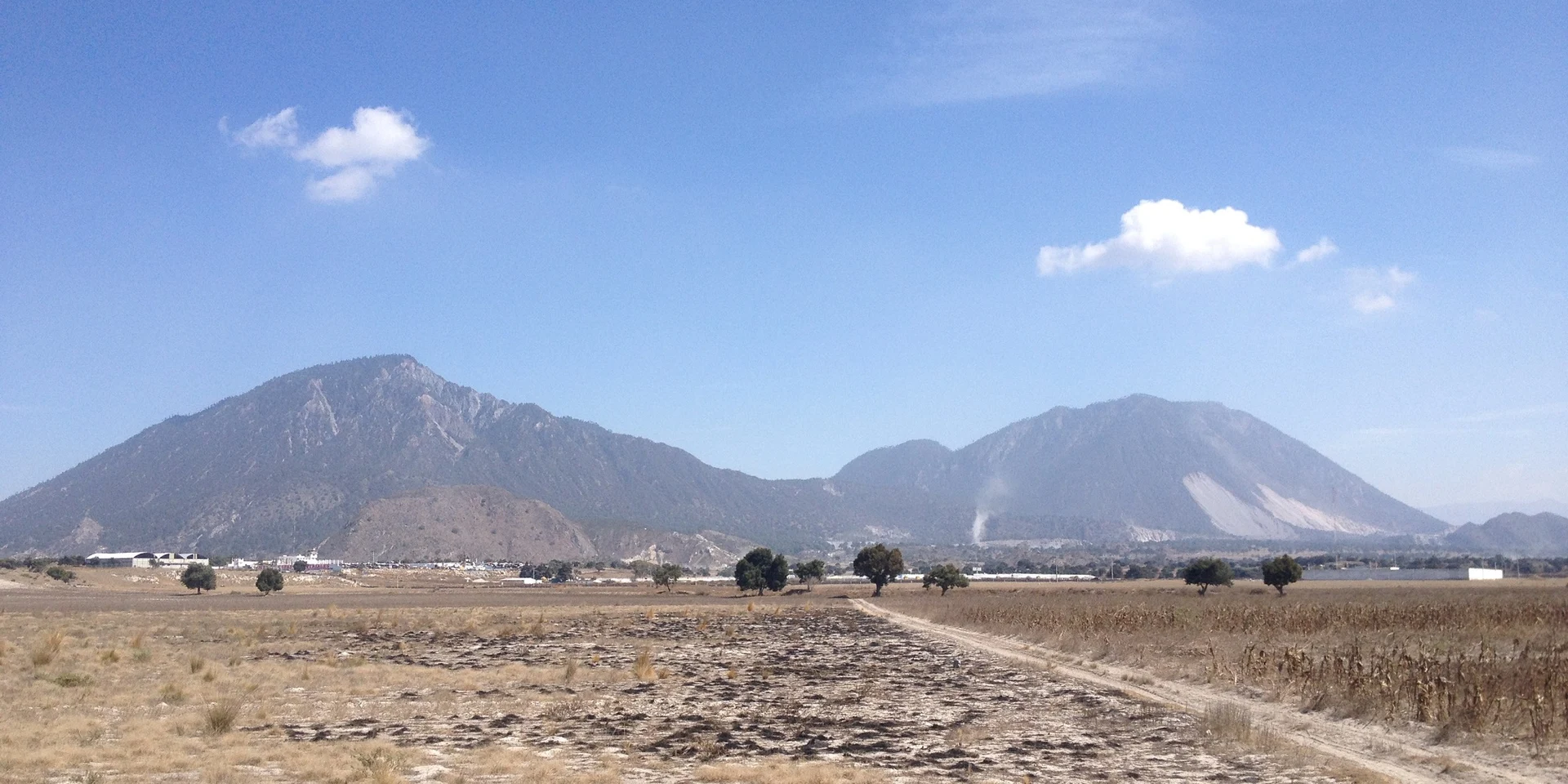
Twin rhyolite volcanic domes, the Red (3,480 m) and the Blue (3,420 m), on the Llanos de San Juan; among Mexico's 30 highest peaks.
From Huamantla: 1 h 20 min by car (71 km by road) How to get there ↓
Near here
See everything nearby ↓


Plan your visit to Las Derrumbadas
Where to stay near Las Derrumbadas
Compare hotels, posadas and guest houses in Las Derrumbadas.
Tours to Las Derrumbadas
Day trips and guided outings from Coscomatepec often include Las Derrumbadas; with a local guide you can get there without a car.
 Tours from Puebla City
Africam Safari Zoo Admission with Transportation
★ 4.8 (87) · From US$35
How to get to Las Derrumbadas
- From Huamantla: about 1 h 20 min by road (~71 km)
- Nearest airport: Veracruz (VER), 1 h 50 min by car to Coscomatepec
Links open a partner site. We may earn a commission if you book, at no cost to you.
Tours from Puebla City, near Las Derrumbadas


Tours, prices and ratings from Viator, checked weekly. We may earn a commission if you book.
About Las Derrumbadas
Las Derrumbadas are twin rhyolite volcanic domes in eastern Puebla, shared by the municipalities of Guadalupe Victoria and San Nicolás Buenos Aires. Officially both are called Cerro Derrumbadas; locals call the southern summit (3,480 m) the Derrumbada Roja or de Fuego, the Red or Fire one, and the northern summit (3,420 m) the Derrumbada Azul or de Agua, the Blue or Water one. A third hill a few kilometres north, Cerro Pinto or the Derrumbada Blanca (about 3,000 m), is sometimes counted too. Both main summits rank among Mexico's 30 highest peaks, even though neighbours such as Cofre de Perote, Sierra Negra and Pico de Orizaba overshadow them.
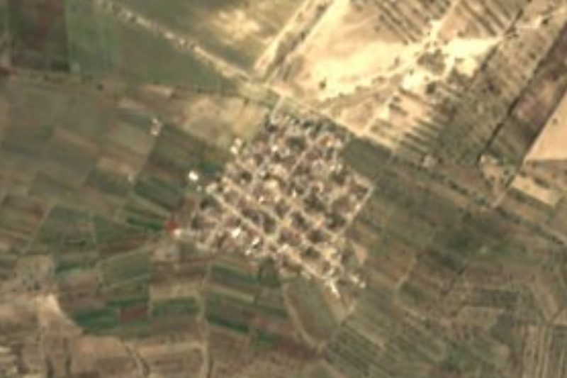
They rise from the Llanos de San Juan, a closed, semi-arid basin of the Trans-Mexican Volcanic Belt, close to the salt lakes of Totolcingo and El Salado and the crater lakes of Atexcac, Alchichica, Las Minas and Quechulac. Federal highway 140 skirts the north-west side of the Blue dome. The volcanoes still have fumaroles, especially the Red one, and have been studied as a source of geothermal power. Their rhyolite is a valued building stone, and several companies quarry it at the foot of the hills.
The sunny slopes carry dry scrub with agaves and succulents, giving way higher up to pine-oak forest and, on the highest shaded faces, sacred fir. They are little known as a destination, but hiking clubs such as CEMAC run regular ascents. The climb is tricky: the ground is loose and prone to rockfalls, which is where the name, "the collapsed ones", comes from.
How to get to Las Derrumbadas
Drive from Huamantla: 1 h 20 min, 71 km
The domes sit beside federal highway 140 (Tepeaca–Veracruz), which skirts the Blue dome on its north-west side, between Guadalupe Victoria and San Nicolás Buenos Aires. Puebla city is about 83 km west in a straight line and Orizaba about 61 km south-east, roughly 1 h 10 min by car. Laguna de Atexcac, at the foot of the hills, is a handy landmark. There is no marked trail: because the ground is unstable, it is best to climb with a hiking club that knows the route.
Directions to Las Derrumbadas on Google Maps
Distances are in a straight line; the road is usually longer.
Links open a partner site. We may earn a commission if you book, at no cost to you.
From the nearest cities to Las Derrumbadas
- Huamantla · 71 km by road, 1 h 20 min
- Córdoba · about 90 km by road, ~1 h 20 min
- Xalapa · 97 km by road, 1 h 40 min
Drive times by road from OpenStreetMap, without traffic or stops. Times marked ~ are estimated from the straight-line distance.
Before you go to Las Derrumbadas: hours, prices and tips
- Guide or tour
- There is no marked trail and the ground is loose; hiking clubs such as CEMAC run regular ascents. Tours: Viator GetYourGuide Wikipedia · checked Oct 2026
Hours and prices change, especially around holidays. Each fact links to where we checked it.
Visiting Las Derrumbadas: what to see and do
The two summits, the Derrumbada Roja (3,480 m) and the Azul (3,420 m).
The fumaroles of the Red dome.
The change from dry scrub to pine, oak and fir forest as you climb.
The view over Laguna de Atexcac and the Llanos de San Juan.
Pico de Orizaba and Cofre de Perote on the horizon.
Plan your trip
Places to stay in Las Derrumbadas
Compare hotels, posadas, and rentals in and around Las Derrumbadas.
Tours & activities
Day trips and guided outings from Coscomatepec often include Las Derrumbadas; with a local guide you can get there without a car.
Rental cars
Pick up a car at VER (Veracruz): about 1 h 50 min by road to Coscomatepec, then 49 km more to Las Derrumbadas, on your own schedule.
Flights
The nearest airport with scheduled flights is Veracruz (VER), about 1 h 50 min by road from Coscomatepec, the base for Las Derrumbadas.
Travel insurance
If you plan on hiking at altitude at Las Derrumbadas, check that your policy covers it: some plans leave adventure activities out.
Mobile data
Signal can drop away from Coscomatepec: download a map of the way to Las Derrumbadas before you set out, or carry an eSIM with data.
Links open a partner site. We may earn a commission if you book, at no cost to you.
When to go to Las Derrumbadas mild
Las Derrumbadas shares the climate of Coscomatepec, 49 km away. The best months to visit are February, March, April, and December.
For the clearest views from Las Derrumbadas, go in the driest months (February, March, April, and December); in the rains, clouds tend to build up by midday.
See the month-by-month climate of Coscomatepec
Weather in Las Derrumbadas now and the next 7 days
Live forecast from Open-Meteo. Chance of rain is the day's highest.
The closest Pueblo Mágico: Coscomatepec

Coscomatepec is the Pueblo Mágico closest to Las Derrumbadas, with places to stay, food, and more to see.
Also close to
Closest to Las Derrumbadas
-
Laguna de Atexcac · Lake · 5 km away
-
Miravalles · Village · 10 km away
-
San Agustín · Village · 11 km away
-
Guadalupe Victoria · Town · 12 km away
-
Chichicuautla · Village · 13 km away
-
Saltillo · Village · 17 km away
-
Tlanalapan · Village · 19 km away
-
Oriental · Village · 20 km away


Near Las Derrumbadas


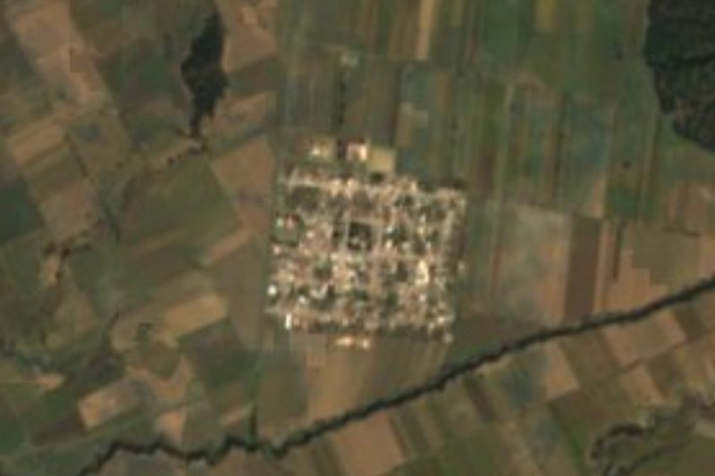


Drive times by road from OpenStreetMap, without traffic. Times marked ~ are estimated from the straight-line distance.
Lists with Las Derrumbadas
Mountains in Puebla · 8 Mountains near Huamantla · 11 Mountains near Coscomatepec · 4 Mountains near Xico · 4 Mountains near Teziutlán · 3Location from OpenStreetMap. Written by Puebloteca.