


Town Perote, Veracruz Municipality of Perote Xalapa and the coffee hills
A cold, dry highland town at 2,400 m below the Cofre de Perote, with an 18th-century star fortress and a tradition of Spanish-style cured meats.
From Xalapa: 40 min by car (50 km by road) How to get there ↓
Near here
See everything nearby ↓


Plan your visit to Perote
Where to stay near Perote
Compare hotels, posadas and guest houses in Perote.
Tours to Perote
Day trips around Xico sometimes stop in Perote; a tour is the easy way to see it without a car.
How to get to Perote
- From Xalapa: about 40 min by road (~50 km)
- Nearest airport: Veracruz (VER), 1 h 44 min by car to Xico
Links open a partner site. We may earn a commission if you book, at no cost to you.
About Perote
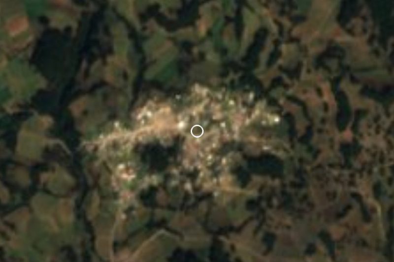
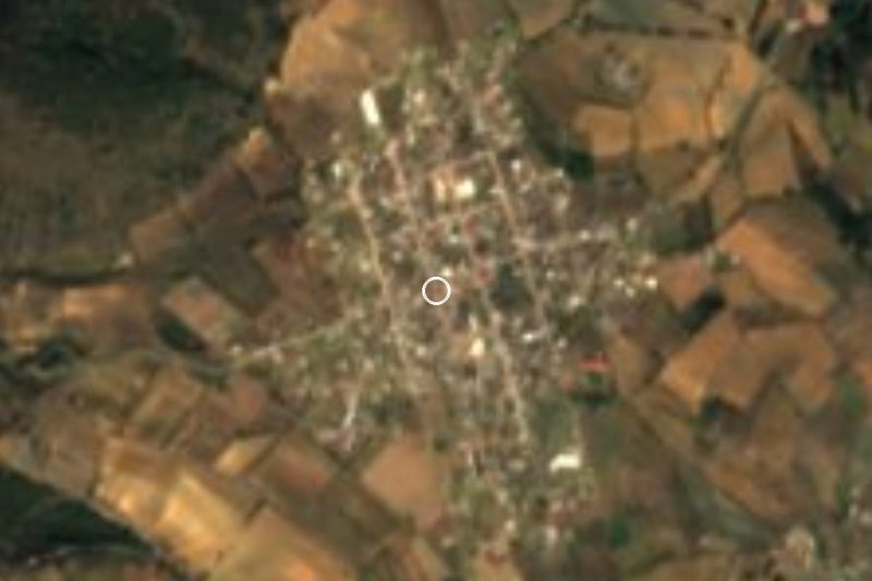
Perote is a town and municipal seat on the high plateau in the west of central Veracruz, at about 2,400 metres, on the edge of the state of Puebla and at the northern foot of the Cofre de Perote volcano. It lies on federal highway 140, about 50 km by road west of Xalapa. The town had 42,451 people at the 2020 census and the municipality 77,432. Perote is the only part of Veracruz on the Mexican altiplano, and its climate is unlike the rest of the state: semi-dry and temperate, with an annual average of about 12 °C, frequent frosts and very little rain, most of it from July to September.
In pre-Hispanic times there was a village here called Pinahuizapan. Its Spanish name goes back to an inn on the Camino Real between Veracruz and Mexico City: in 1520 a license was granted for a roadside inn at Pinahuizapan, and in 1527 a tall soldier named Pedro de Anzures, nicknamed Pedrote, ran the inn around which the settlement grew. After the British took Havana in 1762, the colonial government built the Fortaleza de San Carlos on the plain north of the town to guard the road inland; finished in 1776–77, it later held the first Colegio Militar, Texan prisoners in the 1830s and, during the Second World War, citizens of Axis countries. Mexico's first president, Guadalupe Victoria, died there on 21 March 1843. It was a state prison from 1949 until 2007, and has since been opened to visitors. Perote was raised to city status on 2 October 1973.
The town is known for its cured meats: a Spanish community that settled here in the 1930s brought serrano ham, botifarra and chorizo, and local workshops still make carnes frías and embutidos, along with cheese cocoles. Farming on the plain produces potatoes, maize, wheat, barley and broad beans. The Cofre de Perote, at about 4,200 metres the second-highest peak in Veracruz, has been a national park since 1937 and can be approached from the village of El Conejo. Main fiestas are the Santa Cruz on 3 May, the town's founding anniversary on 20 June, and San Miguel Arcángel, patron of the main church, on 29 September.
How to get to Perote
Drive from Xalapa: 40 min, 50 km
Perote is about 50 km west of Xalapa on federal highway 140, the old Veracruz–Puebla road, about 50 minutes by car. Buses run between Xalapa and Perote through the day, taking about an hour.
Directions to Perote on Google Maps
Distances are in a straight line; the road is usually longer.
Links open a partner site. We may earn a commission if you book, at no cost to you.
From the nearest cities to Perote
- Xalapa · 50 km by road, 40 min
- Teziutlán · 49 km by road, 45 min
- Huamantla · 86 km by road, 1 h 5 min
Drive times by road from OpenStreetMap, without traffic or stops. Times marked ~ are estimated from the straight-line distance.
Before you go to Perote: hours, prices and tips
- Best season
- Santa Cruz at Monte Caja de Agua on 3 May; founding anniversary on 20 June, with farm and craft shows; patron saint San Miguel Arcángel on 29 September, with dances, fairground rides and fireworks. EcuRed · checked Oct 2026
- What to bring
- Warm clothes: the average temperature is about 12 °C and frosts are frequent in winter. Wikipedia · checked Oct 2026
Hours and prices change, especially around holidays. Each fact links to where we checked it.
Visiting Perote: what to see and do
Walk the walls and rooms of the 18th-century Fortaleza de San Carlos, including the room dedicated to Guadalupe Victoria.
See the Parroquia de San Miguel and its sculpture of the archangel.
Buy Spanish-style hams, chorizo and other embutidos in town.
Try the cheese cocoles.
Head up towards the Cofre de Perote through El Conejo.
Plan your trip
Places to stay in Perote
Compare hotels, posadas, and rentals in and around Perote.
Tours & activities
Day trips around Xico sometimes stop in Perote; a tour is the easy way to see it without a car.
Rental cars
Pick up a car at VER (Veracruz): about 1 h 44 min by road to Xico, then 30 km more to Perote, on your own schedule.
Flights
The nearest airport with scheduled flights is Veracruz (VER), about 1 h 44 min by road from Xico, the base for Perote.
Mobile data
Signal can drop away from Xico: download a map of the way to Perote before you set out, or carry an eSIM with data.
Links open a partner site. We may earn a commission if you book, at no cost to you.
Photos
When to go to Perote mild
Perote shares the climate of Xico, 30 km away. The best months to visit are February, March, April, and May.
See the month-by-month climate of Xico
Weather in Perote now and the next 7 days
Live forecast from Open-Meteo. Chance of rain is the day's highest.
The closest Pueblo Mágico: Xico

Xico is the Pueblo Mágico closest to Perote, with places to stay, food, and more to see.
Also close to
- Coatepec · Veracruz · 32 km away
- Teziutlán · Puebla · 35 km away
- Naolinco · Veracruz · 40 km away
- Tlatlauquitepec · Puebla · 42 km away
- Coscomatepec · Veracruz · 58 km away
Closest to Perote
-
Fortaleza de San Carlos · Landmark · 1 km away
-
Los Pescados · Village · 10 km away
-
Cofre de Perote · Mountain · 12 km away
-
La Toma · Village · 13 km away
-
Los Altos · Village · 14 km away
-
El Paisano · Village · 15 km away
-
Adolfo Moreno · Village · 18 km away
-
La Gloria · Village · 19 km away

Near Perote




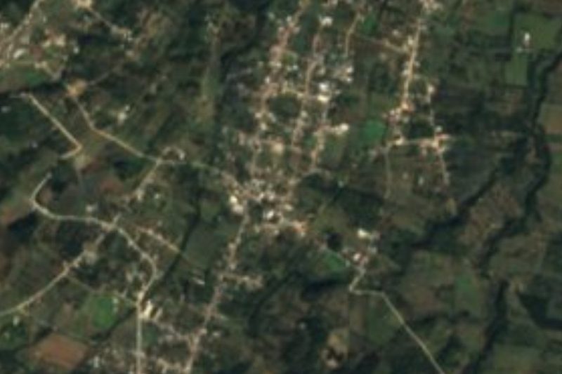
Drive times by road from OpenStreetMap, without traffic. Times marked ~ are estimated from the straight-line distance.
Location from OpenStreetMap. Written by Puebloteca.