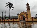
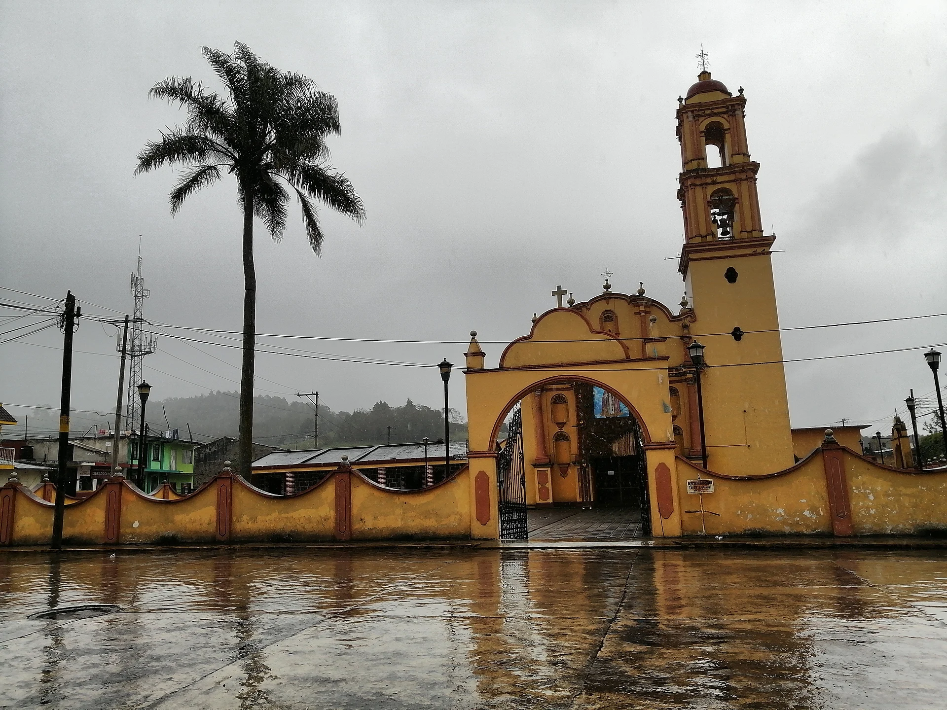
A region of Veracruz
The green, misty hills around Veracruz's state capital, halfway between the Gulf and the high plateau. Xalapa itself is a university city with one of the best archaeology museums in the country. Around it, coffee grows under shade trees in Coatepec, Xico and Teocelo, Naolinco makes leather boots and shoes, the Pescados river at Jalcomulco is the state's rafting centre, and the Cofre de Perote rises to the west.
3 Pueblos Mágicos · 43 places to visit
Pueblos Mágicos in Xalapa and the coffee hills


Map
Places to visit in Xalapa and the coffee hills 43
43 places with their own page, grouped by kind.
Villages · 18 Towns · 11 Landmarks and museums · 7 Nature reserves · 3 Waterfalls · 2 Cities · 1 Mountains · 1
Villages
-
Adolfo Moreno · Village · Veracruz
Mountain village at 2,140 m, 7 km south of Altotonga, founded in 1941 and named after a Veracruz revolutionary and lawyer. -
Chavarrillo · Village · Veracruz
Pottery village of 1,500 at 870 m south of Xalapa, below Cerro Chavarrillo and near the old railway to Veracruz. -
Coyolillo · Village · Veracruz
Afro-Mexican village in Actopan, half an hour from Xalapa, known for its pre-Lent carnival of carved wooden bull masks. -
El Castillo · Village · Veracruz
A clay-working village on the eastern edge of Xalapa, with the La Palma lagoon and its herons, diving ducks and fishing eagles. -
El Fresno · Village · Veracruz
A highland village of Tlacolulan at 1,772 m, twenty minutes from Xalapa on the Jilotepec road, in mild, damp country. -
El Grande · Village · Veracruz
Coffee-country village of Coatepec at 1,071 m, with its church of Our Lady of Lourdes, about 6 minutes from the Pueblo Mágico and 20 from Xalapa. -
El Paisano · Village · Veracruz
High-mountain village of Las Vigas de Ramírez at almost 3,000 m on the Cofre de Perote; 9 °C annual mean, reached by a rural road off Highway 140. -
La Gloria · Village · Veracruz
A Perote Valley village at 2,460 m with an old hacienda chapel, named in 2009 as the possible starting point of the H1N1 flu outbreak. -
La Joya · Village · Veracruz
A cheese- and bread-making village at about 2,000 m on the Xalapa–Perote road, with French cannons, a stone oven and a San José festival. -
La Toma · Village · Veracruz
Ayahualulco village at 3,020 m, right next to the municipal seat on the flanks of the Cofre de Perote; cold all year and about 20 minutes from Perote. -
Los Altos · Village · Veracruz
Mountain village at almost 2,900 m on the slopes of the Cofre de Perote, Ayahualulco's most populous place; San Juan feast on 24 June. -
Los Otates · Village · Veracruz
Bread-baking village of Actopan in a warm ravine; on 13 November it hands out bread to visitors. Nearby: Poza Azul and La Capilla ruins. -
Los Pescados · Village · Veracruz
Village at almost 3,000 m on the north slope of Cofre de Perote, 17 km from Perote, on the road to El Conejo and the summit; cold all year. -
Ohuapan · Village · Veracruz
Tlaltetela's second-largest village, at 1,400 m on the Puerto Rico–Totutla road; Nahuatl name meaning 'on the young corn'. 27 min from Huatusco. -
Plan de Arroyos · Village · Veracruz
Coffee-growing village in Atzalan, wrapped in mist above the canyons, 11 km from the El Cuajilote ruins at Filobobos; fair 9-20 May. -
San Marcos de León · Village · Veracruz
The second-largest place in the Xico municipality, at 1,099 m on the road between the Pueblos Mágicos of Coatepec and Xico. -
San Pablo Coapan · Village · Veracruz
Naolinco village founded in 1526 and seat of its own municipality until 1896; about 20 minutes from Naolinco and half an hour from Xalapa. -
Trapiche del Rosario · Village · Veracruz
A sugar-cane village in Actopan, in the Actopan river valley, known for its milk-fudge jamoncillo figures and close to El Descabezadero.






Towns
-
Acatlán · Town · Naolinco
A small hillside town just north of Naolinco, with the parish of San Andrés Apóstol and a big fiesta every November 30. -
Actopan · Town · Veracruz
A small town in the Actopan river valley below Xalapa, one of Mexico's big mango producers, with a May mango fair and the Descabezadero springs nearby. -
Alto Lucero · Town · Veracruz
Hill town in the foothills of the Sierra de Chiconquiaco, about 35 km from Xalapa, hometown of the singer Paquita la del Barrio. -
Chiconquiaco · Town · Naolinco
A misty mountain town in the cloud forests of the Sierra de Chiconquiaco, on the winding scenic road north toward Misantla. -
Jalcomulco · Town · Coatepec
A warm river village in a canyon below Coatepec, Veracruz's main base for whitewater rafting on the Río Pescados. -
Landero y Coss · Town · Veracruz
Seat of Veracruz's least populated municipality, 2,000 m up in the Sierra de Chiconquiaco, 10 km from Naolinco; San Isidro feast in May. -
Miahuatlán · Town · Veracruz
Highland municipal seat at nearly 1,800 m, 7 km from Naolinco: San José church, farm cheeses, a waterfall and a patron fiesta in March. -
Misantla · Town · Veracruz
Old Totonac-country town in a river valley of the Sierra de Chiconquiaco, twice state capital, with a white colonial parish and river pools nearby. -
Perote · Town · Veracruz
A cold, dry highland town at 2,400 m below the Cofre de Perote, with an 18th-century star fortress and a tradition of Spanish-style cured meats. -
Tenochtitlán · Town · Veracruz
Hill-country municipal seat at 900 m between Misantla and Xalapa, with mountain rivers, coffee and mango; San Bartolomé fiesta on 24-25 August. -
Teocelo · Town · Xico
A quiet coffee town next door, home of Radio Teocelo, founded in 1965 and one of Mexico's oldest community radio stations.


Landmarks and museums
-
Barrio de Xallitic · Landmark · Veracruz
Xalapa's spring-fed barrio of public wash houses, stairways and an arched bridge: Veracruz's first Barrio Mágico (August 2023). -
Catedral de Xalapa · Landmark · Veracruz
Xalapa's metropolitan cathedral, begun in 1641 and remodelled in Neo-Gothic style from 1896, known locally for its single, unfinished tower. -
Ex Hacienda El Lencero · Landmark · Coatepec
Santa Anna's country hacienda on the old royal road, now a museum with period rooms, a chapel and wide gardens. -
Fortaleza de San Carlos · Landmark · Xico
A huge 18th-century Spanish fortress in Perote, later a military college and prison, now a museum; Guadalupe Victoria died here. -
La Ceiba Gráfica · Landmark · Coatepec
A printmaking center in the old hacienda of La Orduña, where artists work in lithography, woodcut and handmade paper. -
Museo de Antropología de Xalapa · Landmark · Veracruz
The MAX, the Universidad Veracruzana's anthropology museum, with seven Olmec colossal heads and about 2,500 pieces from Gulf Coast cultures. -
Parque Juárez · Landmark · Veracruz
Xalapa's central park, opened in 1892 on a terrace beside the Palacio de Gobierno, with a lookout towards the Cofre de Perote and Pico de Orizaba.


Nature reserves
-
Cerro de Macuiltépetl · Nature reserve · Veracruz
A wooded extinct volcano in the middle of Xalapa, now an ecological park with spiral paths, a lookout tower and a small fauna museum. -
Jardín Botánico Clavijero · Nature reserve · Coatepec
A large botanical garden and cloud-forest sanctuary run by INECOL on the old road between Coatepec and Xalapa. -
Parque Ecológico Los Tecajetes · Nature reserve · Veracruz
A sunken spring-fed park near central Xalapa, with ponds, channels, bridges and shady paths, open daily and free.


Waterfalls
-
Cascada Bola de Oro · Waterfall · Coatepec
A small waterfall in the coffee hills just north of town, with two pools where you can cool off. -
Cascada de Texolo · Waterfall · Xico
Xico's best-known waterfall, dropping into a deep cloud-forest gorge just south of town; La Monja falls is a few minutes away.

Cities
-
Xalapa · City · Veracruz
Veracruz's hilly state capital and university city, known for its anthropology museum, its parks and a music scene recognised by UNESCO.

Mountains
-
Cofre de Perote · Mountain · Xico
The 4,282 m volcano that looms over Xico, a national park of pine and fir forest with a road almost to the rocky summit.

Top tours in Xalapa and the coffee hills


Tours, prices and ratings from Viator, checked weekly. We may earn a commission if you book.
Getting around Xalapa and the coffee hills
Fly into Veracruz (VER).
Cities to start from: Xalapa Martínez de la Torre Teziutlán
Most of the region is reached by road: a rental car is the easiest way to see several places in a day, and buses link the larger towns.